Elevation of Isle Haute, Cumberland, Subd. A, NS B0M 1A0, Canada
Location: Canada > Nova Scotia > Cumberland County > Cumberland, Subd. A > Advocate Harbour >
Longitude: -65.003146
Latitude: 45.2500529
Elevation: 69m / 226feet
Barometric Pressure: 100KPa
Elevation Map:
Satellite Map:
Related Photos:
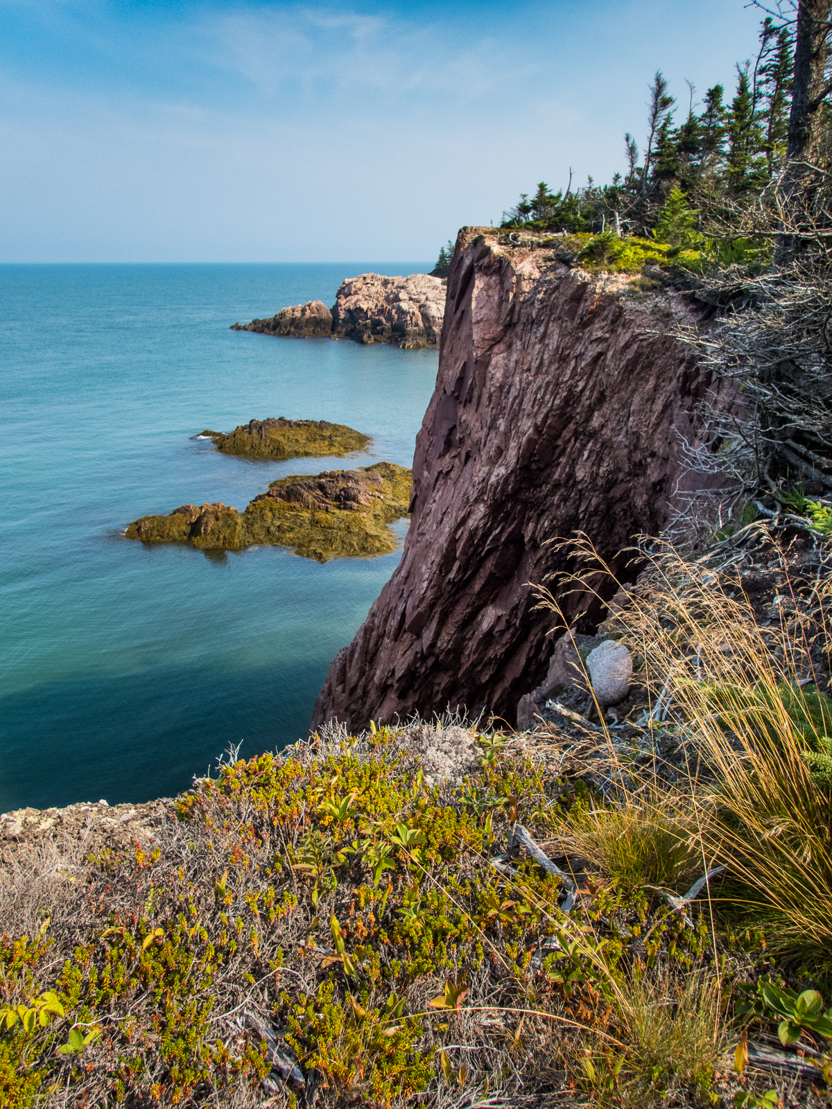
Cape Chignecto Cliffs
IMG_0013.JPG (2)

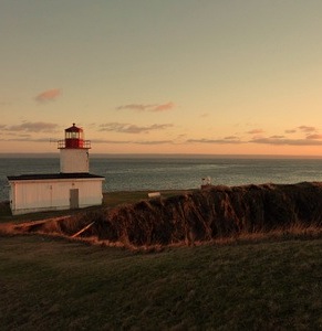
#atlantic #sunset at the #bayoffundy
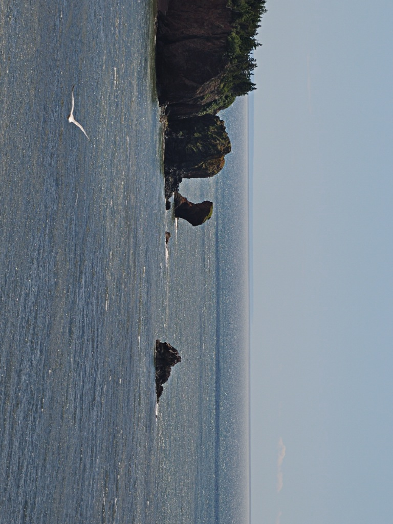
Bird cliff sea Thingy
Topographic Map of Isle Haute, Cumberland, Subd. A, NS B0M 1A0, Canada
Find elevation by address:

Places near Isle Haute, Cumberland, Subd. A, NS B0M 1A0, Canada:
McNally Rd, Kings, Subd. A, NS B0P 1C0, Canada
415 Seaman St
622 Seaman St
1157 W Advocate Rd
64 Seaman St
1 Seaman St, Margaretsville, NS B0S 1N0, Canada
Margaretsville
Cape D'or Sustainable Seafoods Inc
NS-, Advocate Harbour, NS B0M 1A0, Canada
Russia Road
Advocate Harbour
Nova Scotia 221
Nova Scotia 221
Brooklyn St, Aylesford, NS B0P 1C0, Canada
NS-, Advocate Harbour, NS B0M 1A0, Canada
Aylesford
Brooklyn St, Aylesford, NS B0P 1C0, Canada
Alma Parish
4728 Brooklyn St
237 Main St
Recent Searches:
- Elevation of Corso Fratelli Cairoli, 35, Macerata MC, Italy
- Elevation of Tallevast Rd, Sarasota, FL, USA
- Elevation of 4th St E, Sonoma, CA, USA
- Elevation of Black Hollow Rd, Pennsdale, PA, USA
- Elevation of Oakland Ave, Williamsport, PA, USA
- Elevation of Pedrógão Grande, Portugal
- Elevation of Klee Dr, Martinsburg, WV, USA
- Elevation of Via Roma, Pieranica CR, Italy
- Elevation of Tavkvetili Mountain, Georgia
- Elevation of Hartfords Bluff Cir, Mt Pleasant, SC, USA