Elevation of Ironville, NS, Canada
Location: Canada > Nova Scotia > Cape Breton Regional Municipality > Cape Breton >
Longitude: -60.4603838
Latitude: 46.1344339
Elevation: 11m / 36feet
Barometric Pressure: 0KPa
Related Photos:
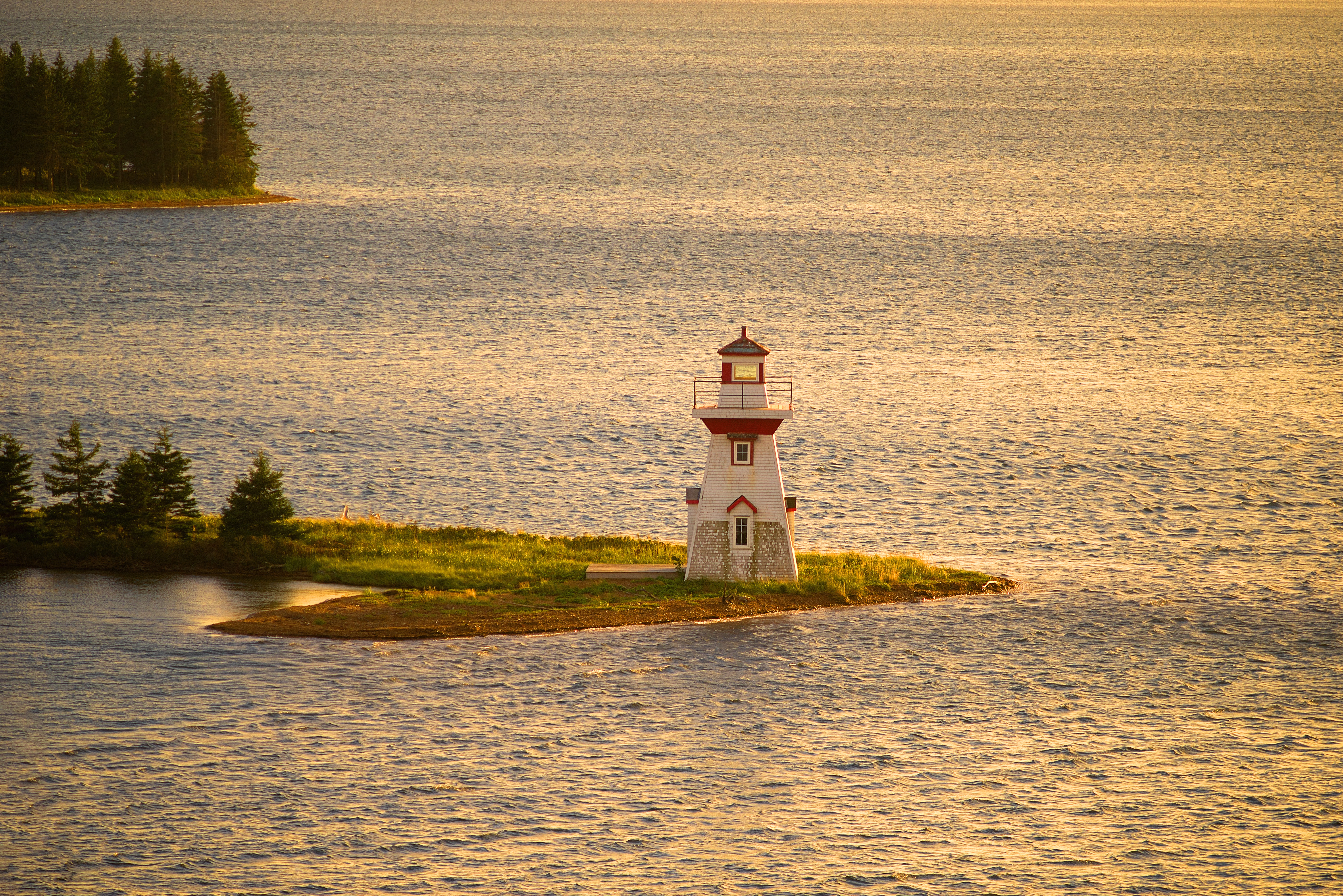
McNeill Beach Light

DGJ_4883 - Seal Island Bridge
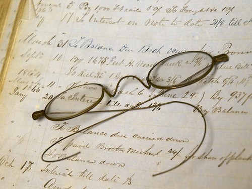
Spectacle-ar!

Splish-Splash
"promises from yesterday"

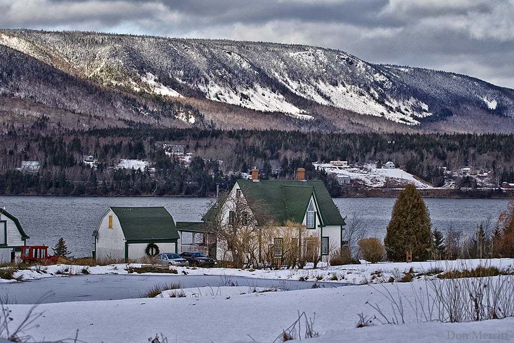
Toughing through another winter . . .
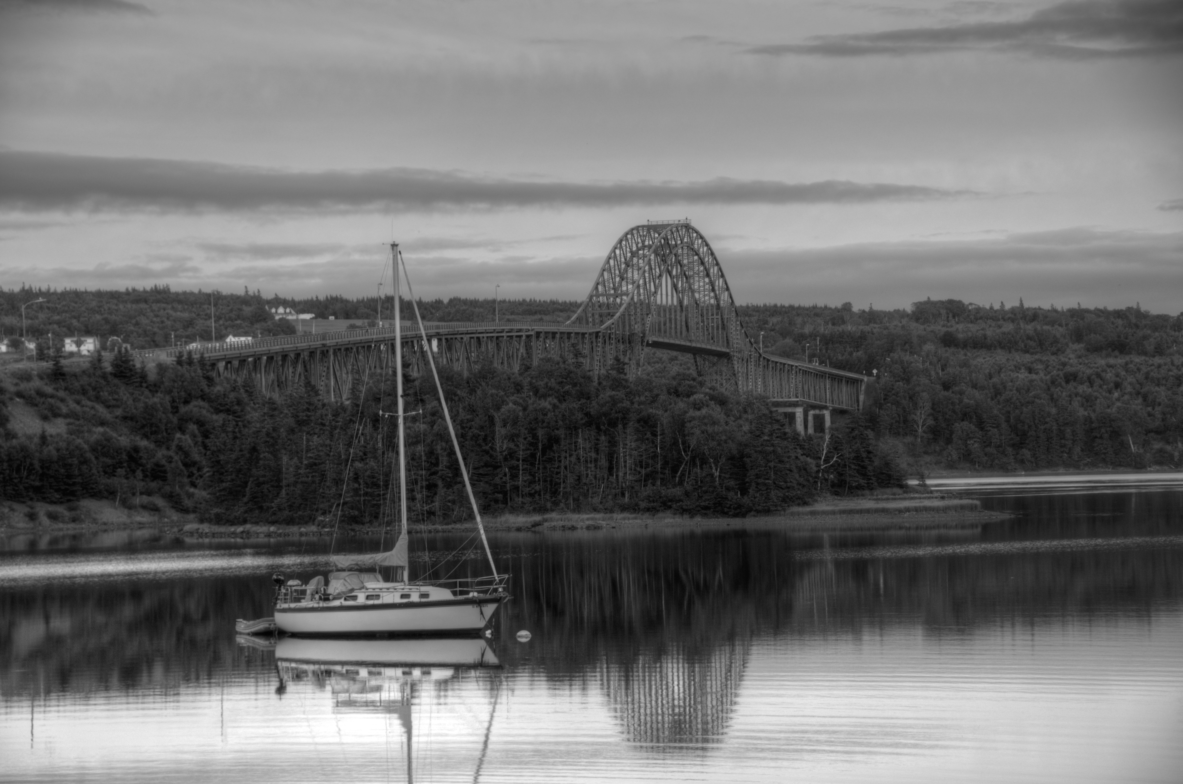
Sailboat on Bras d'Or Lake, Cape Breton, Nova Scotia #2450 (B&W)

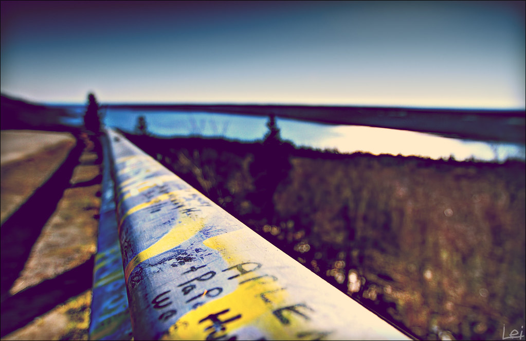
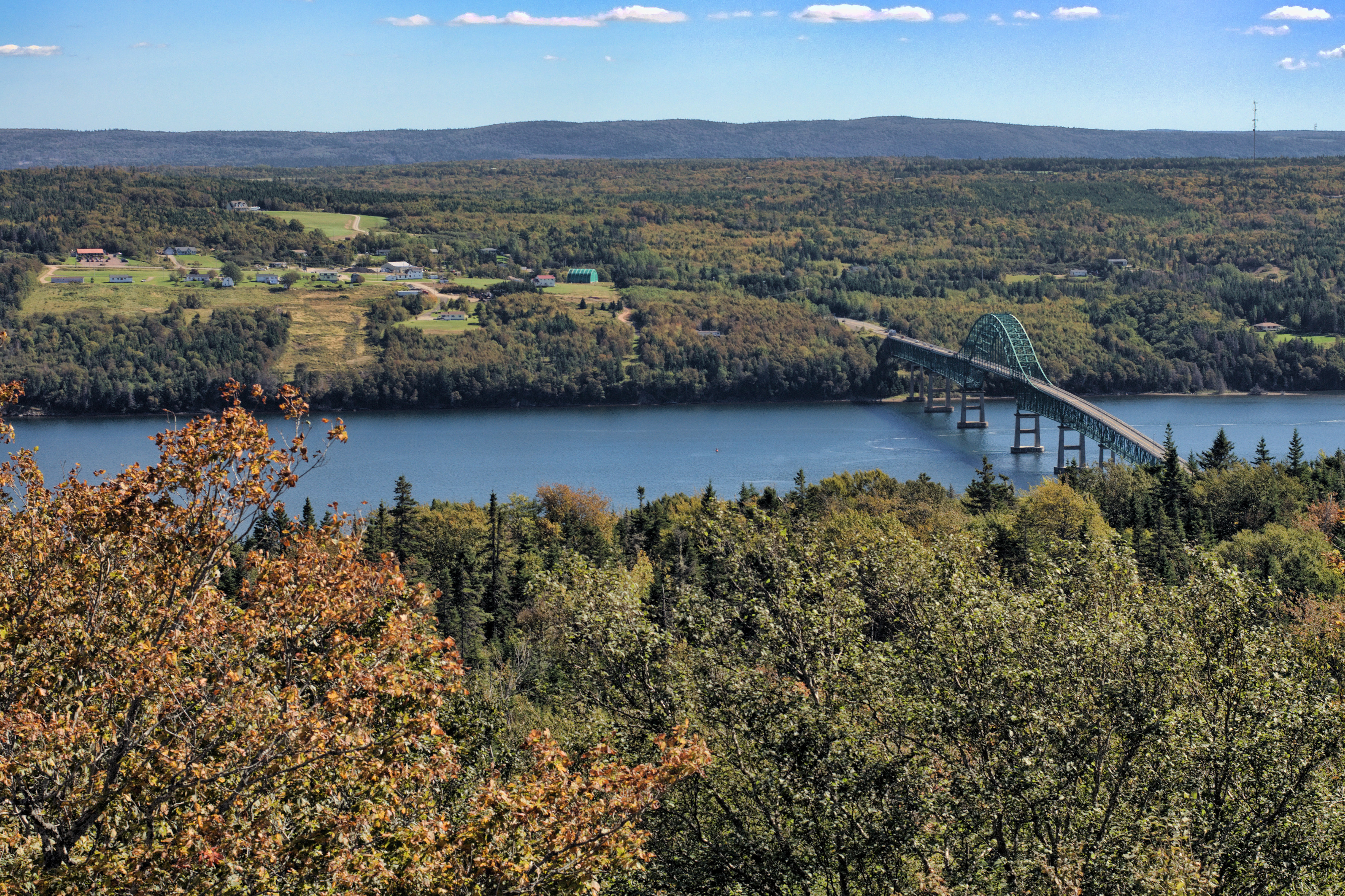
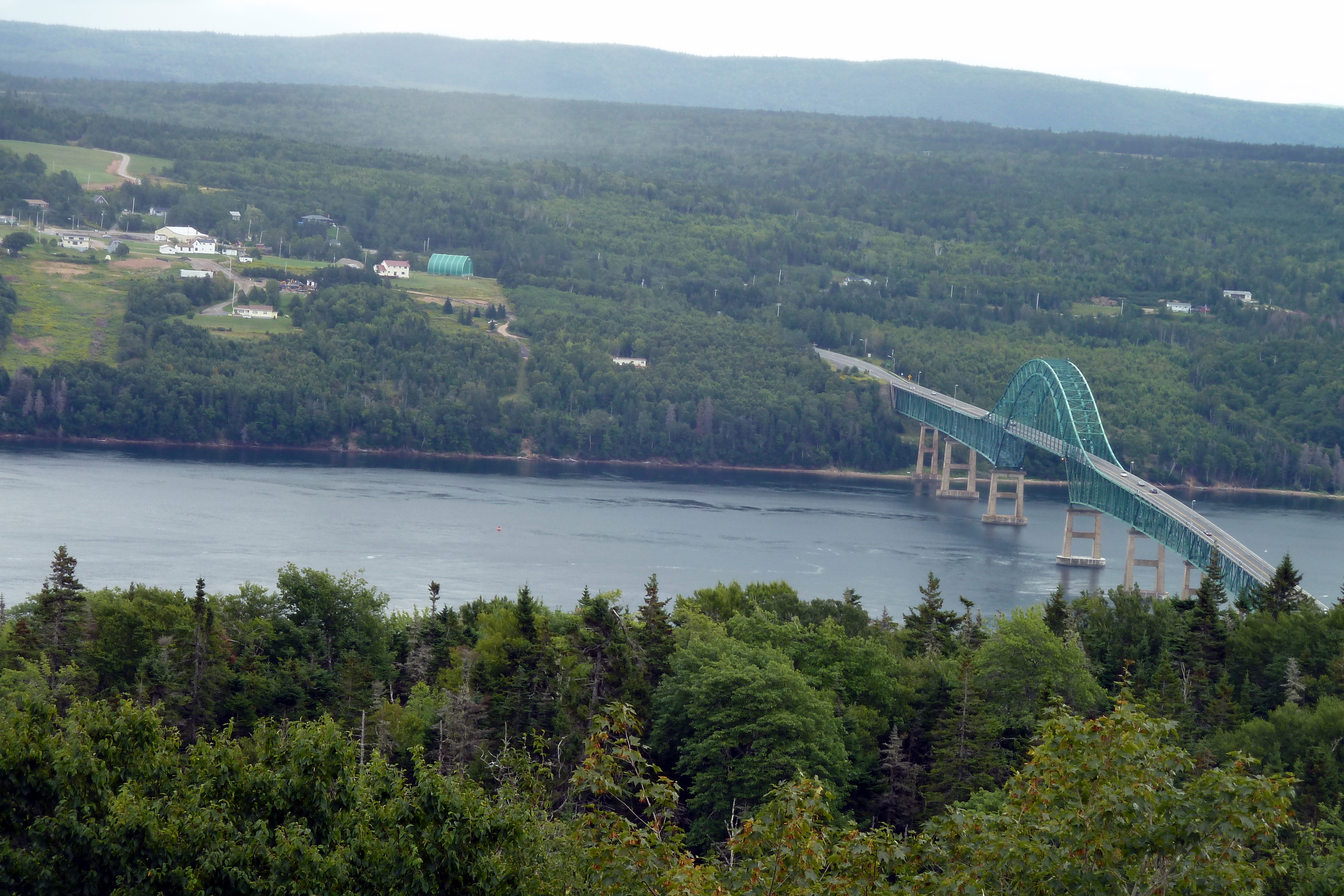
View over Seal Island Suspension Bridge

What a view but what a breeze. #KellysMountain #lookout #sealbridge #CapeBreton#NovaScotia #Canada #NouvelleÉcosse #SealIslandBridge
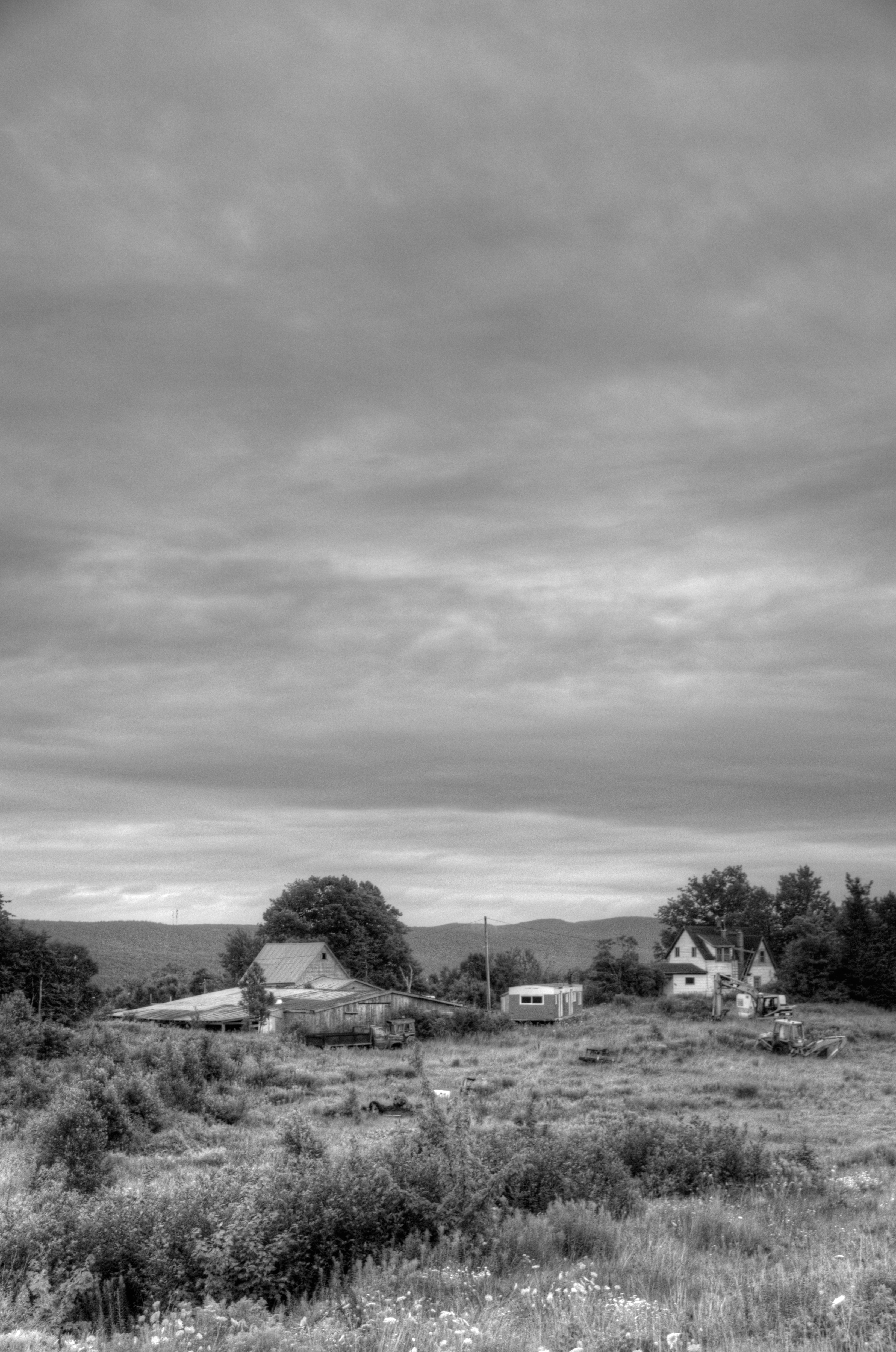
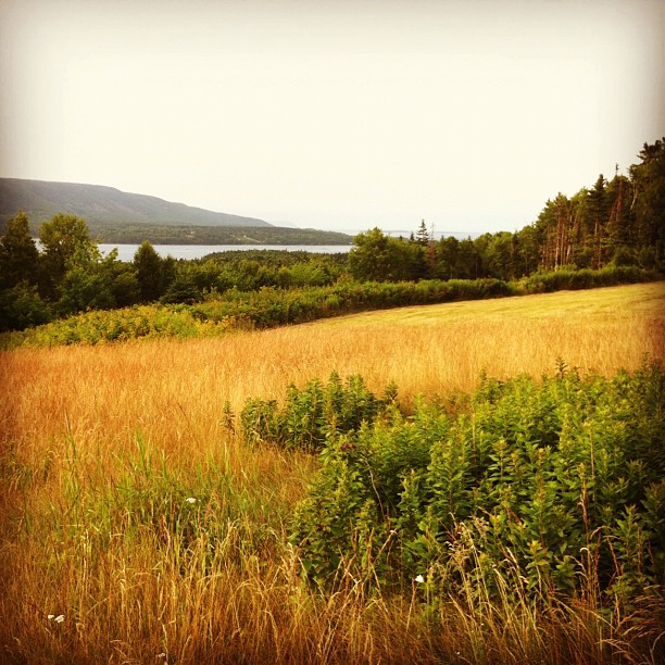
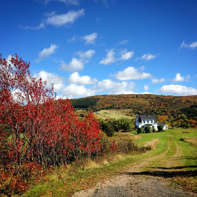
Winter Farm
the view from kelly mountain
Somewhere along a back road in Cape Breton, NS #2440 (B&W, Vertical)
The Uninvited Guest
3.003 Back View of the Highlands Bridge
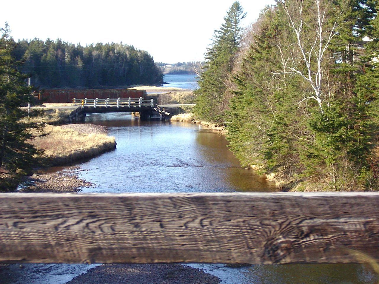
the view from the road

2.012 Broader View of Landscaping
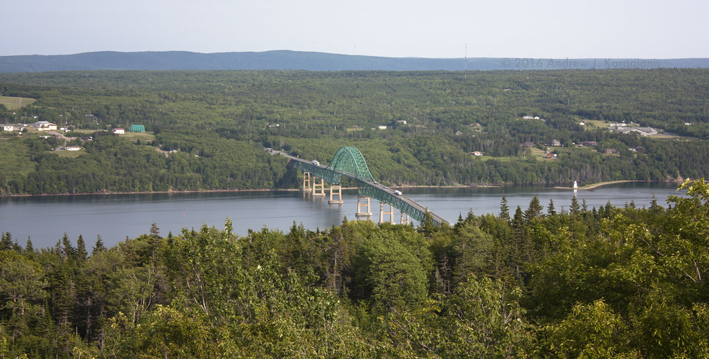
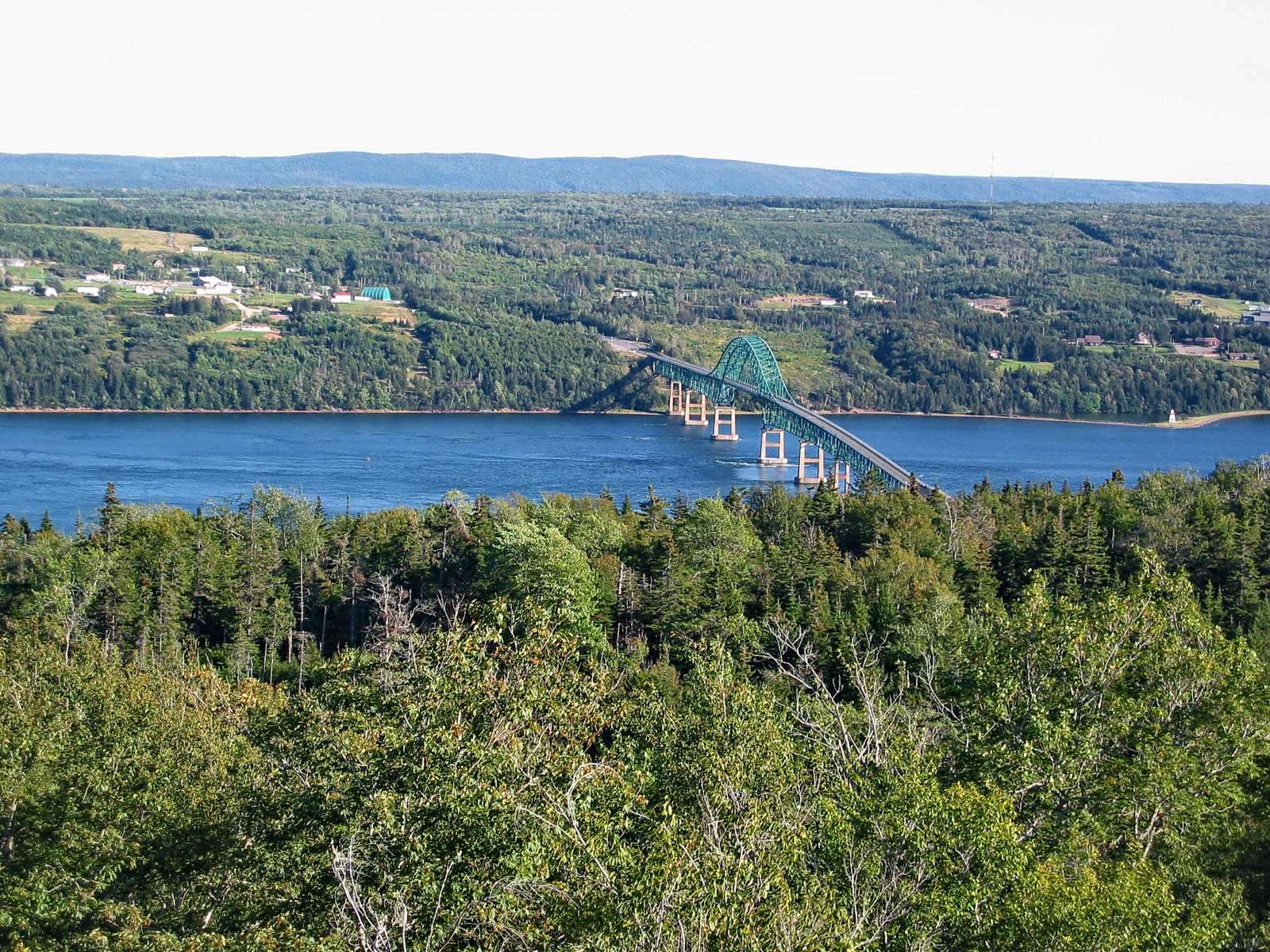
Seal Island Bridge
The view from here
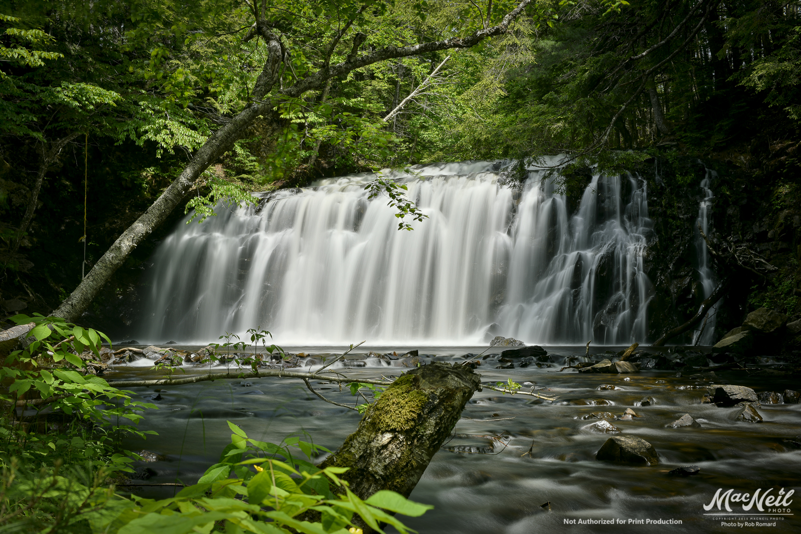
Gillis Lake Falls
???????????????????? #fall #autumn #grass #leaves #nature #instanature #naturegram #scenery #landscape #water #mountains #seasons #outdoors #beautiful #eastcoastfall #eastcoast #capebreton #novascotia

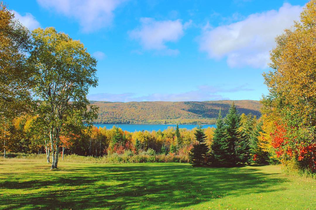
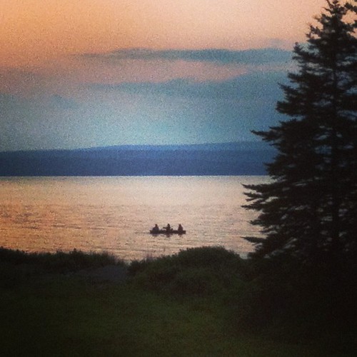
The lovely Bras d'Or
Gillis' Lake upper falls

Perfect place for a ball game

Winding road to the Lake

St. Marys Lookout, Cape Breton

Rural Cape Breton
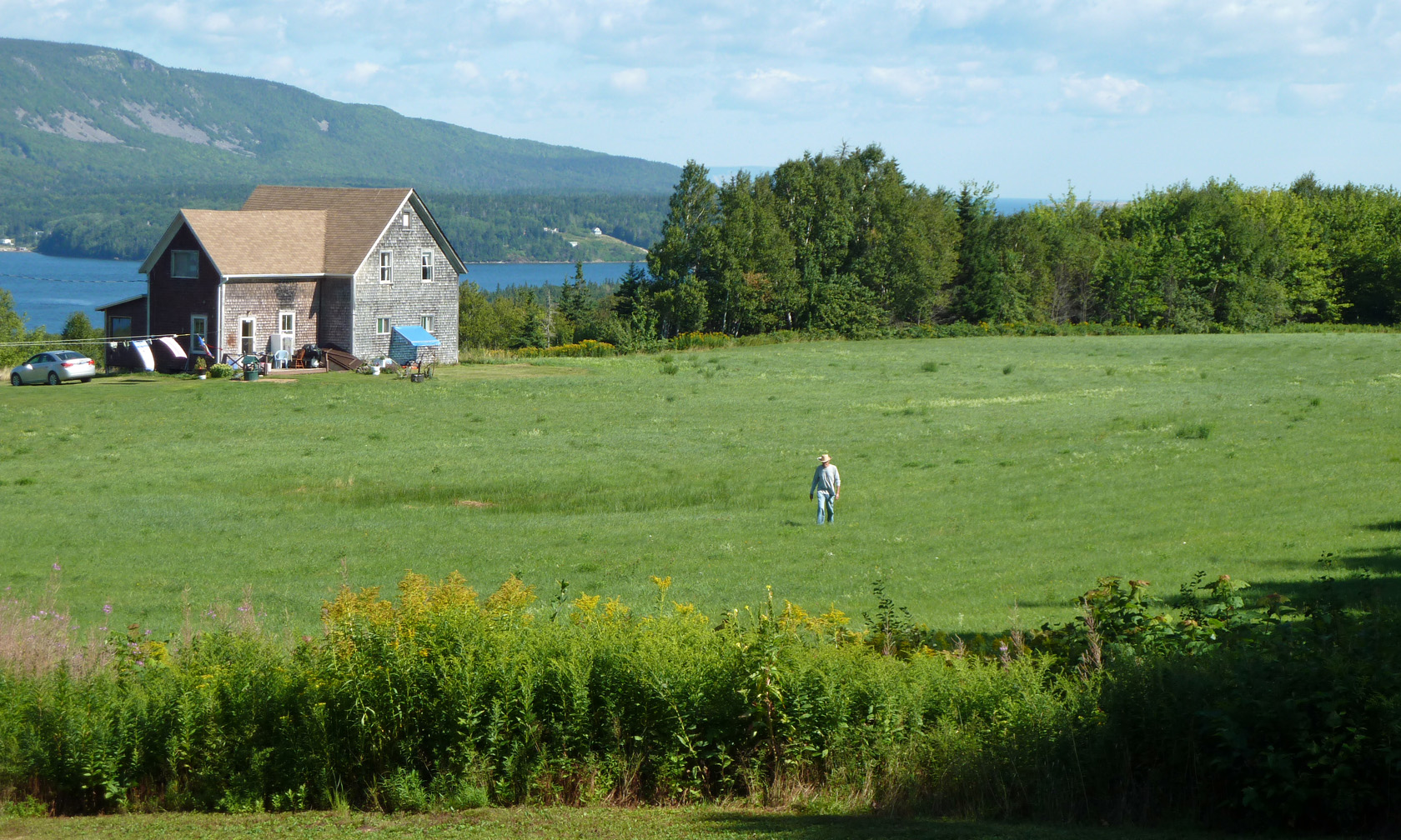
Old Man and the Field
#three
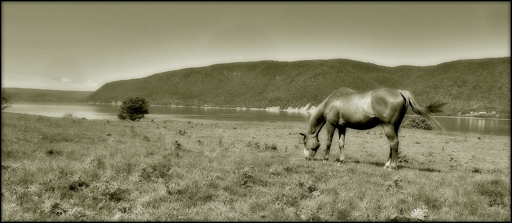
GRAZING HORSE, ENGLISHTOWN CAPE BRETON

I'm gonna miss this
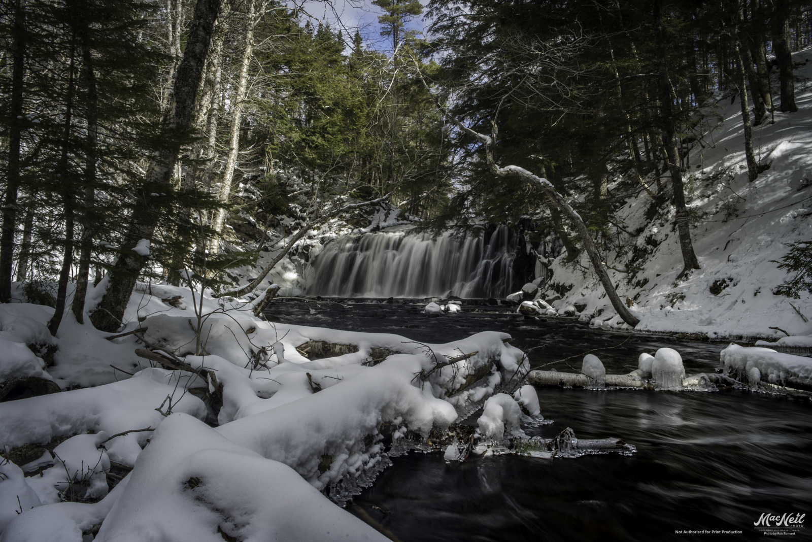
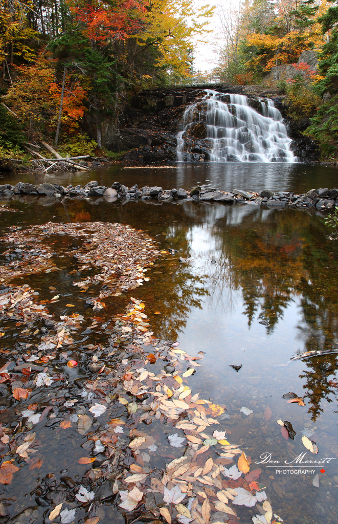
downstream Gillis Lake - lower falls

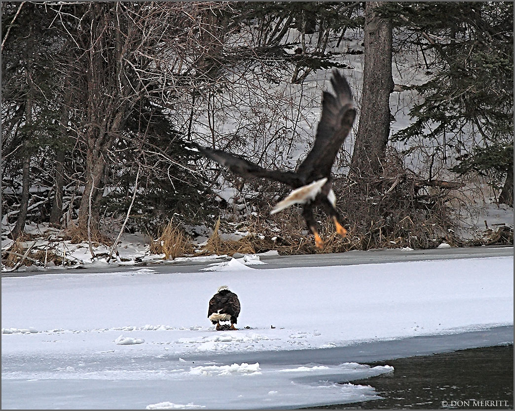
Away She Goes
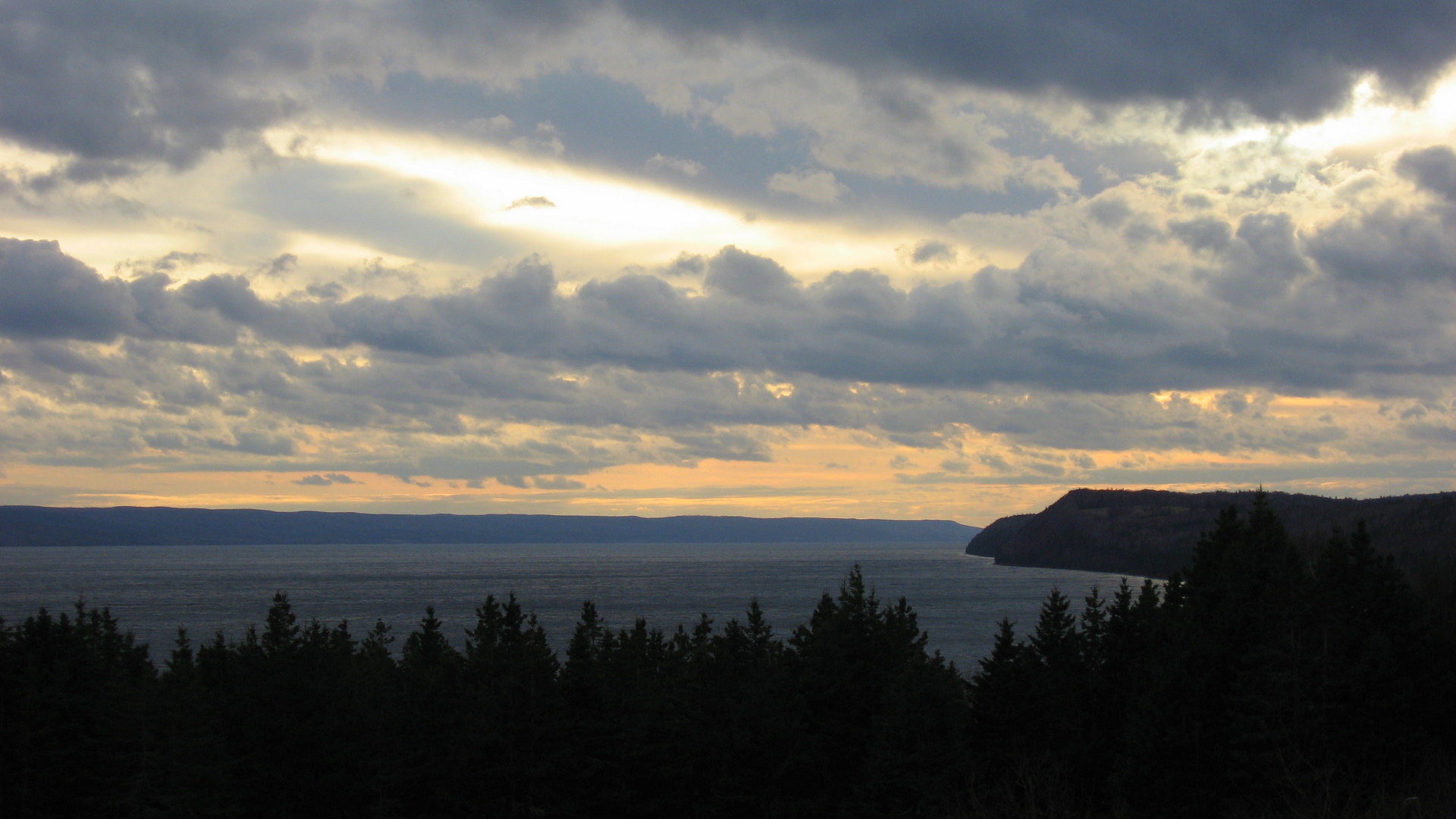
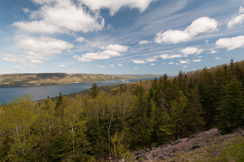
St Andrews Channel, Cape Breton Island
Oh Canada ? More like oh my fucking God this is beautiful in Canada
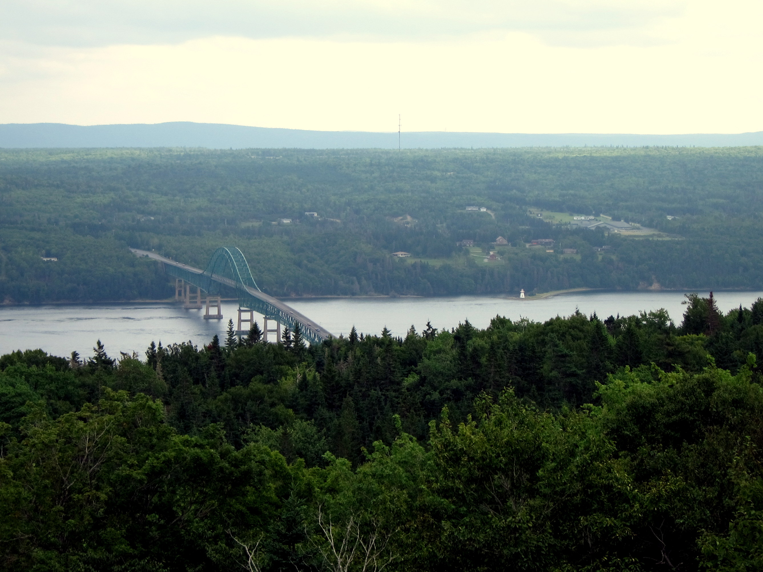
Seal Island Bridge and Great Bras d'Or Channel, Cape Breton Island

Seal Island, Cape Breton
Big Bras d'Or and Seal Island Bridge
bvdm-20090527-002
Topographic Map of Ironville, NS, Canada
Find elevation by address:

Places in Ironville, NS, Canada:
Places near Ironville, NS, Canada:
Grand Narrows Hwy, Ironville, NS B1Y 3P3, Canada
626 Upper Leitches Creek Rd
640 Upper Leitches Creek Rd
Upper Leitches Creek Rd, Upper Leitches Creek, NS B2A 4B3, Canada
Frenchvale
Gillis Lake Rd, Gillis Lake, NS B2A 4H7, Canada
Sydney Forks
North Sydney
Westmount
6 Amberwood Crescent
65 Marine Dr
Murphy Rd, Sydney, NS B1R 1W9, Canada
86 Applecross Dr
320 Esplanade
380 Esplanade
Sydney
20 Lorway Ave
George St, Sydney, NS B1P 1M9, Canada
5 Brooks St
481 St Peters Rd
Recent Searches:
- Elevation of 24, Auburn Bay Crescent SE, Auburn Bay, Calgary, Alberta, T3M 0A6, Canada
- Elevation of Denver, 2314, Arapahoe Street, Five Points, Denver, Colorado, 80205, USA
- Elevation of Community of the Beatitudes, 2924, West 43rd Avenue, Sunnyside, Denver, Colorado, 80211, USA
- Elevation map of Litang County, Sichuan, China
- Elevation map of Madoi County, Qinghai, China
- Elevation of 3314, Ohio State Route 114, Payne, Paulding County, Ohio, 45880, USA
- Elevation of Sarahills Drive, Saratoga, Santa Clara County, California, 95070, USA
- Elevation of Town of Bombay, Franklin County, New York, USA
- Elevation of 9, Convent Lane, Center Moriches, Suffolk County, New York, 11934, USA
- Elevation of Saint Angelas Convent, 9, Convent Lane, Center Moriches, Suffolk County, New York, 11934, USA
- Elevation of 131st Street Southwest, Mukilteo, Snohomish County, Washington, 98275, USA
- Elevation of 304, Harrison Road, Naples, Cumberland County, Maine, 04055, USA
- Elevation of 2362, Timber Ridge Road, Harrisburg, Cabarrus County, North Carolina, 28075, USA
- Elevation of Ridge Road, Marshalltown, Marshall County, Iowa, 50158, USA
- Elevation of 2459, Misty Shadows Drive, Pigeon Forge, Sevier County, Tennessee, 37862, USA
- Elevation of 8043, Brightwater Way, Spring Hill, Williamson County, Tennessee, 37179, USA
- Elevation of Starkweather Road, San Luis, Costilla County, Colorado, 81152, USA
- Elevation of 5277, Woodside Drive, Baton Rouge, East Baton Rouge Parish, Louisiana, 70808, USA
- Elevation of 1139, Curtin Street, Shepherd Park Plaza, Houston, Harris County, Texas, 77018, USA
- Elevation of 136, Sellers Lane, Repton, Monroe County, Alabama, 36475, USA