Elevation of Irene Mountain, Southland, New Zealand
Location: New Zealand > Southland > Southland District > Fiordland National Park >
Longitude: 167.359166
Latitude: -45.175833
Elevation: 1583m / 5194feet
Barometric Pressure: 84KPa
Elevation Map:
Satellite Map:
Related Photos:
Black water
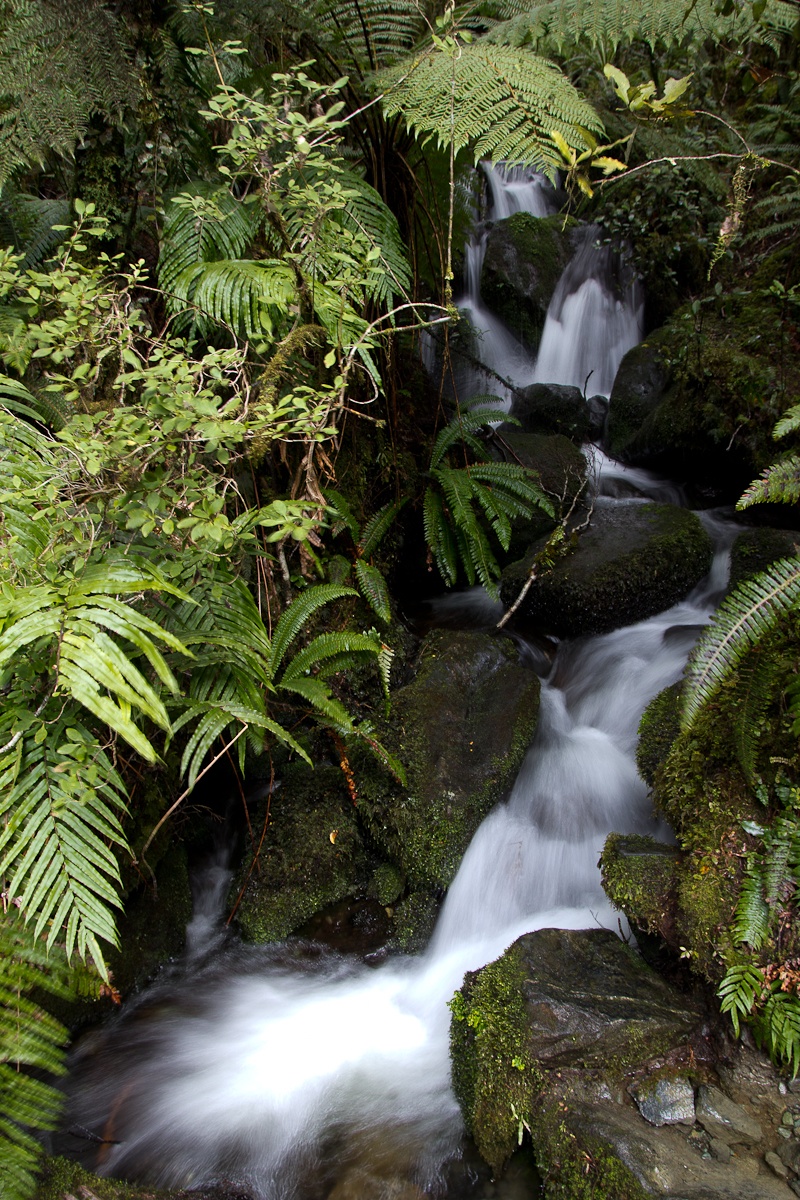
Immaculate nature

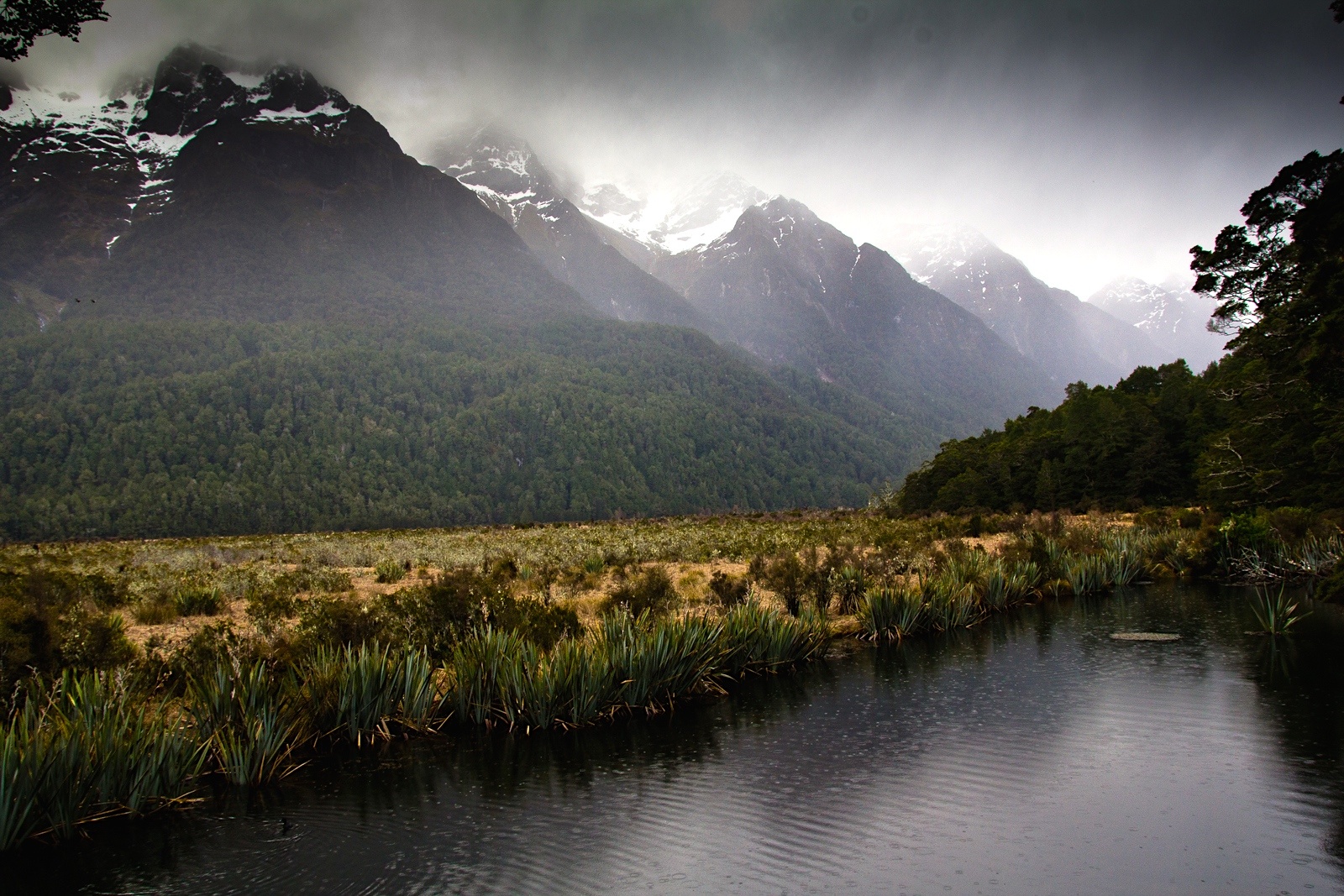
Natural harmony

Kepler Fields
Welcome to Fiordland
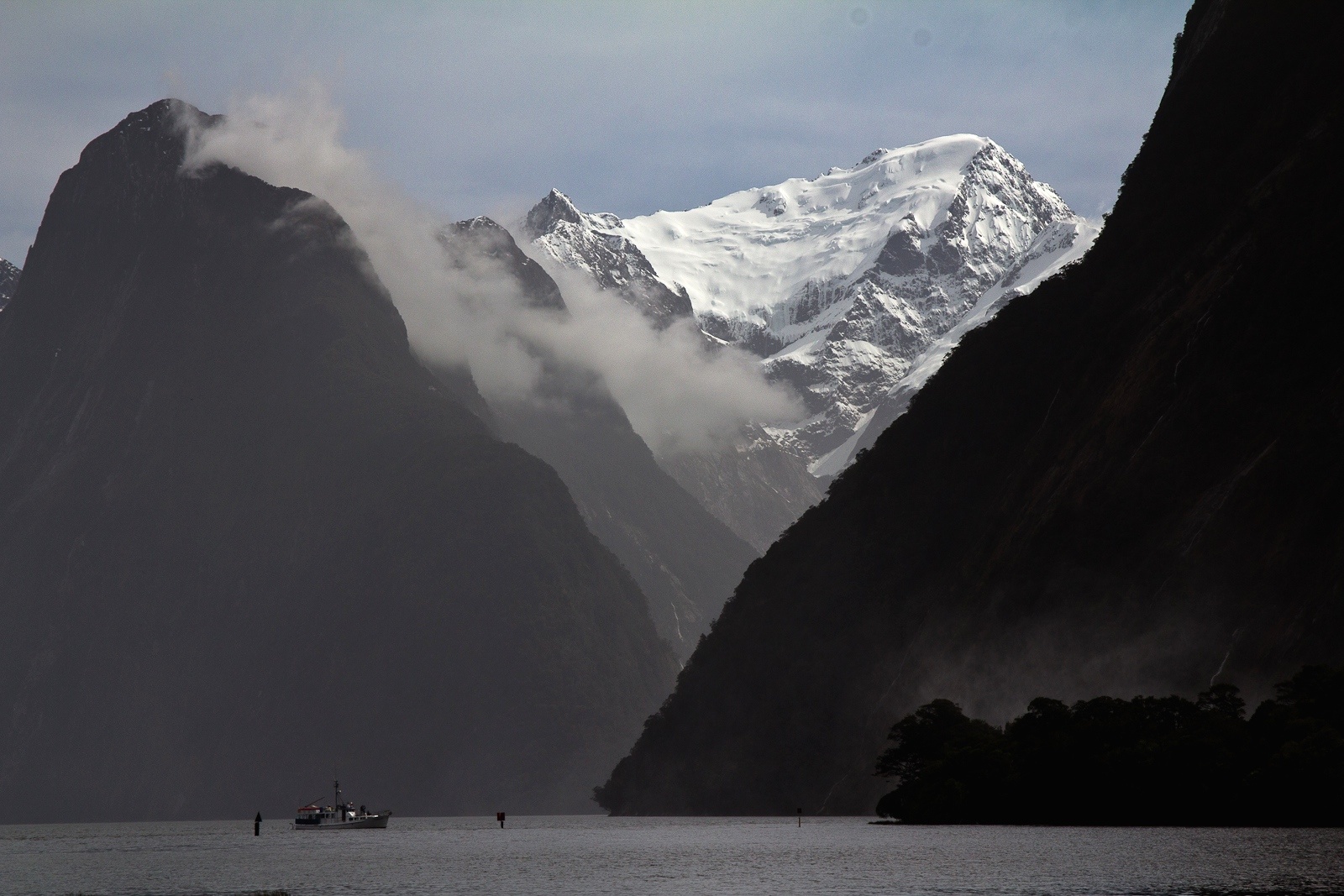
Bad weather show for free

Kepler Ridge

New Zealand friend

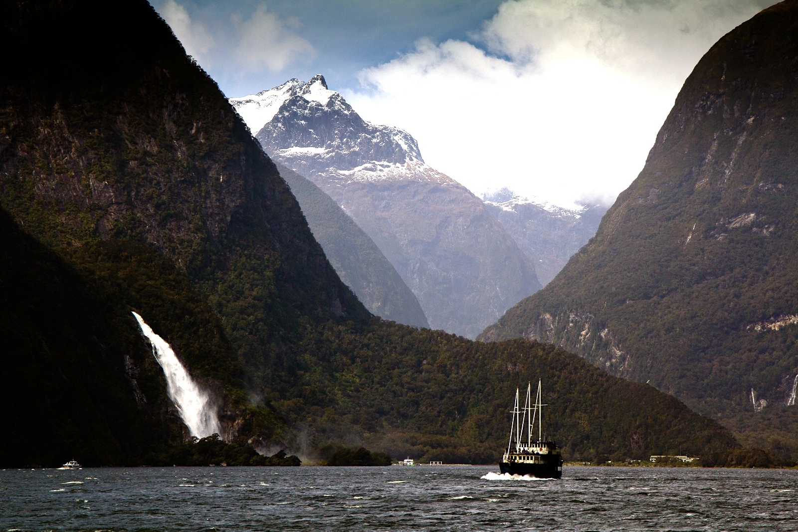
The southern door to the end of the world
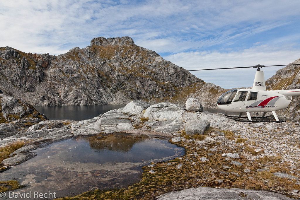
Park It Wherever You Like
Topographic Map of Irene Mountain, Southland, New Zealand
Find elevation by address:

Places near Irene Mountain, Southland, New Zealand:
Mount Lyall
49 Mokonui Street
39 Matai St
22 Mckerrow St
Fiordland National Park
Te Anau
Lakefront Lodge
1 Burnby Drive
Manapouri
217 Sinclair Rd
Hp Hunter Mountains
36c Kakapo Rd
223 Kakapo Rd
300 Kakapo Rd
Titiroa
500 Kakapo Rd
Kakapo Road
1200 Kakapo Rd
438 Gillespie Rd
The Key
Recent Searches:
- Elevation of Corso Fratelli Cairoli, 35, Macerata MC, Italy
- Elevation of Tallevast Rd, Sarasota, FL, USA
- Elevation of 4th St E, Sonoma, CA, USA
- Elevation of Black Hollow Rd, Pennsdale, PA, USA
- Elevation of Oakland Ave, Williamsport, PA, USA
- Elevation of Pedrógão Grande, Portugal
- Elevation of Klee Dr, Martinsburg, WV, USA
- Elevation of Via Roma, Pieranica CR, Italy
- Elevation of Tavkvetili Mountain, Georgia
- Elevation of Hartfords Bluff Cir, Mt Pleasant, SC, USA