Elevation of Gillespie Rd, Whare Creek, New Zealand

Location: New Zealand > Southland >

Longitude: 167.771031

Latitude: -45.569141

Elevation: -10000m / -32808feet

Barometric Pressure: 295KPa

Elevation Map:

elevation map of Gillespie Rd, Whare Creek, New Zealand

Satellite Map:

Satellite map of Gillespie Rd, Whare Creek, New Zealand

Related Photos:

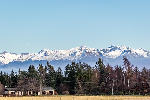
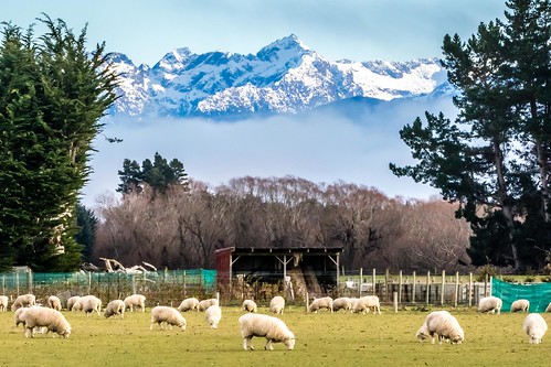
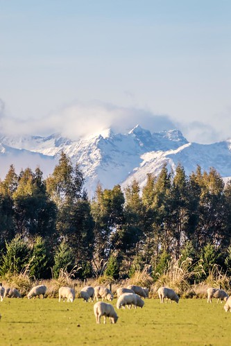
splendid splendour splendor deer farm greystump landscape nz nzfiordland nzmanapouri naturesgallery newzealand manapouri animals mountains scenery copyrightcolinpilliner countryside rural toggreystump
View from a Deer Farmer's "Office"
canon nz newzealand queenstown roadtrip teanau thekey southland
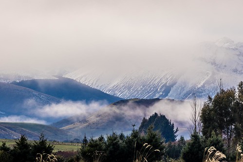
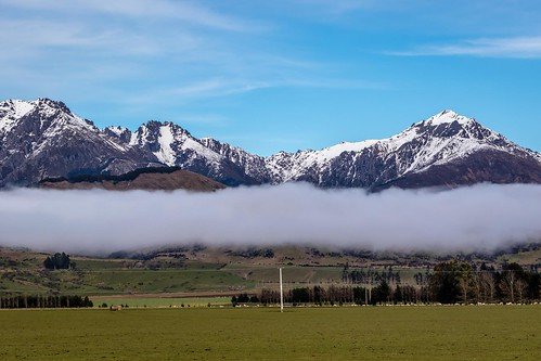
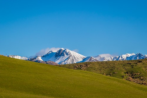
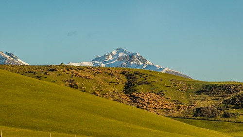
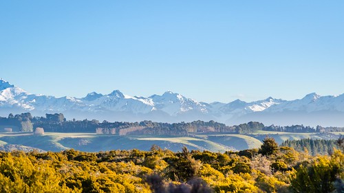
Mountain Views Leaving Te Anau-4
canon curiobay nz newzealand southland teanau thekey
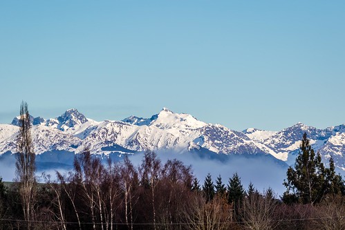
Bluff To Te Anau Road Views-26
canon nz newzealand queenstown roadtrip teanau thekey southland
Mountain Views Leaving Te Anau-3
canon curiobay nz newzealand southland teanau thekey
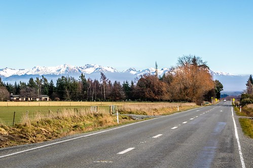
Bluff To Te Anau Road Views-15
canon nz newzealand queenstown roadtrip teanau thekey southland
Mountain Views Leaving Te Anau-1
canon nz newzealand queenstown roadtrip teanau thekey southland
Mountain Views Leaving Te Anau-5
canon nz newzealand queenstown roadtrip teanau thekey southland
Mountain Views Leaving Te Anau-2
canon nz newzealand queenstown roadtrip teanau thekey southland
Mountain Views Leaving Te Anau-11
canon nz newzealand queenstown roadtrip teanau thekey southland
Mountain Views Leaving Te Anau-7
canon curiobay nz newzealand southland teanau thekey
Bluff To Te Anau Road Views-17
canon curiobay nz newzealand southland teanau thekey
Bluff To Te Anau Road Views-16
canon nz newzealand queenstown roadtrip teanau thekey southland
Mountain Views Leaving Te Anau-10
canon nz newzealand queenstown roadtrip teanau thekey southland
Mountain Views Leaving Te Anau-8
canon nz newzealand queenstown roadtrip teanau thekey southland
Mountain Views Leaving Te Anau-9
newzealand panorama geotagged geo:lat=45564507 geo:lon=167611107
Panorama 13
Fjordland preview
2016 newzealand southisland fiordland
View from our room at Barnyard Backpackers 7
2016 newzealand southisland fiordland
View from our room at Barnyard Backpackers - morning 2
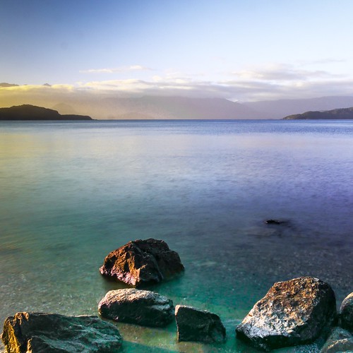
Morning at Lake Manapouri
2016 newzealand southisland fiordland mountain keplertrack
View from start of the trail near control gate
greystump nz fiordland lakemanapouri manapouri nature newzealand southisland lake snow mountains landscape copyrightcolinpilliner saariysqualitypictures water toggreystump
Waiau River
projectweather greystump landscape nz fiordland lakemanapouri manapouri naturesgallery thegalaxy newzealand southisland lake mygearandme copyrightcolinpilliner water toggreystump
Manapouri Morning
crop-circle creating!
travel newzealand lake nature walking landscape scenery track hiking tramping kepler manapouri fiordland
Detour to Shallow Bay Hut
square lofi squareformat iphoneography instagramapp uploaded:by=instagram foursquare:venue=50a6ca3fe4b0595058189635
The Ranch #all_photos #all_shoots #world #webstagram #r#tweegram #tagstagram #travelgram #instacool #instapic #igaddict #insta #picture #photo_wall #day #outdoors #nature #nz #landscape_lovers
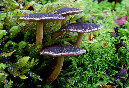
hypholomabrunneum fungi brownmushroom publicdomaindedicationcc0 geotagged flickrlover freephotos naturelover explorenaturethewildnature
Hypholoma brunneum.
canon curiobay nz newzealand southland teanau thekey
Bluff To Te Anau Road Views-27
boat doubtfull lake manapouri national newzealand park station sunrise charter cloud cruise deep deer electric engineering explore fjord fjordland glacier hydro ice moody mountain passenger peak pilot power rain rugged snow sound sounds spectactular tour tourism travel tunnel water waterfall waterfalls wet yatch
Sunrise on the Alps on the Western shores of Lake Manapouri, New Zealand
canon curiobay nz newzealand southland teanau thekey
Bluff To Te Anau Road Views-23
scenic waterscape landscape newzealand
Evening View
just dig out from my hard drive
Enjoy the nature !
Dam at the Waiau River
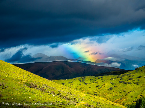
newzealand rainbow hwy te anau mossburn
Rainbow for all