Elevation of Brunel Peaks, Southland, New Zealand
Location: New Zealand > Southland > Blackmount >
Longitude: 167.7875
Latitude: -45.750833
Elevation: 1640m / 5381feet
Barometric Pressure: 83KPa
Elevation Map:
Satellite Map:
Related Photos:
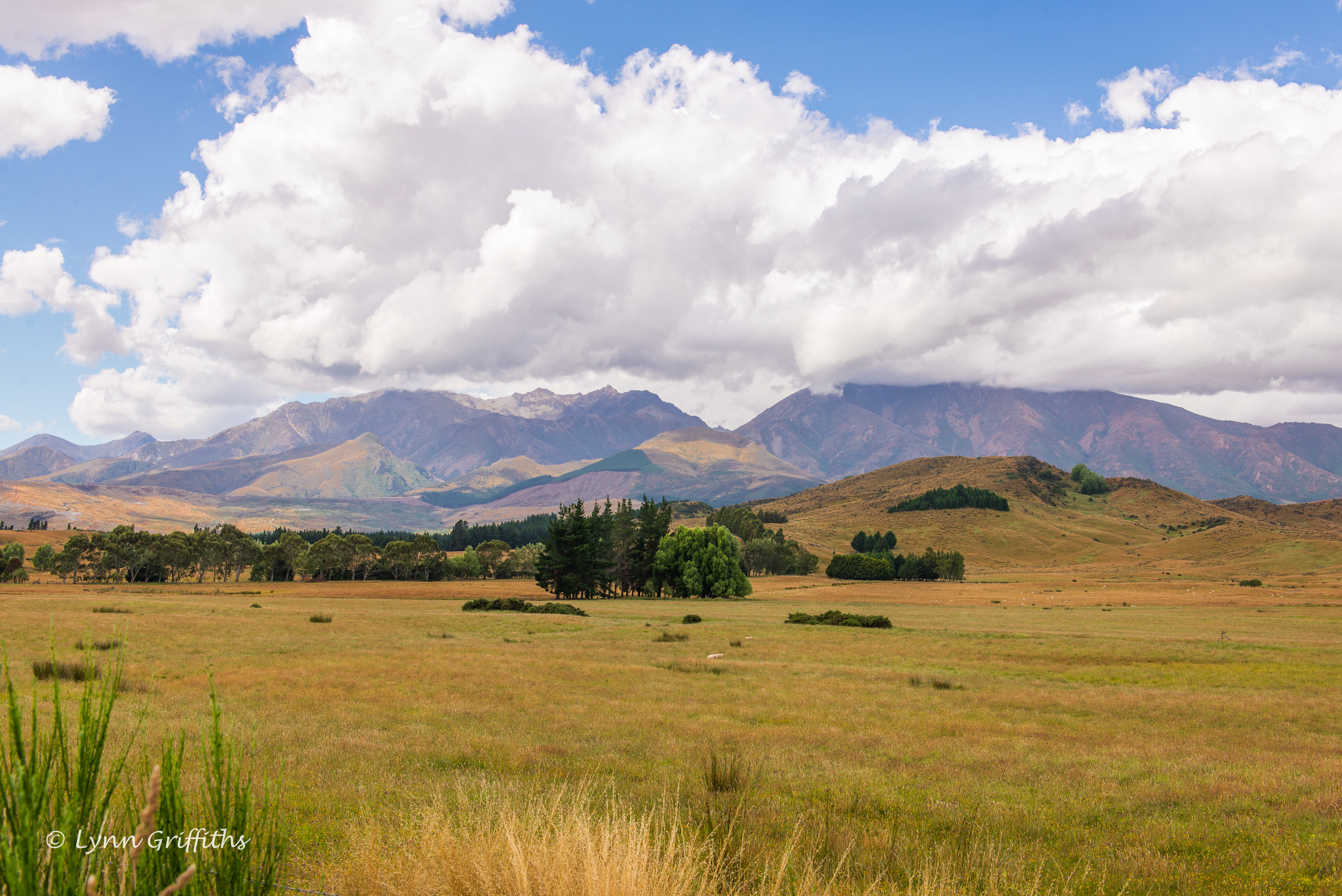
A pleasant view D61_6655.jpg
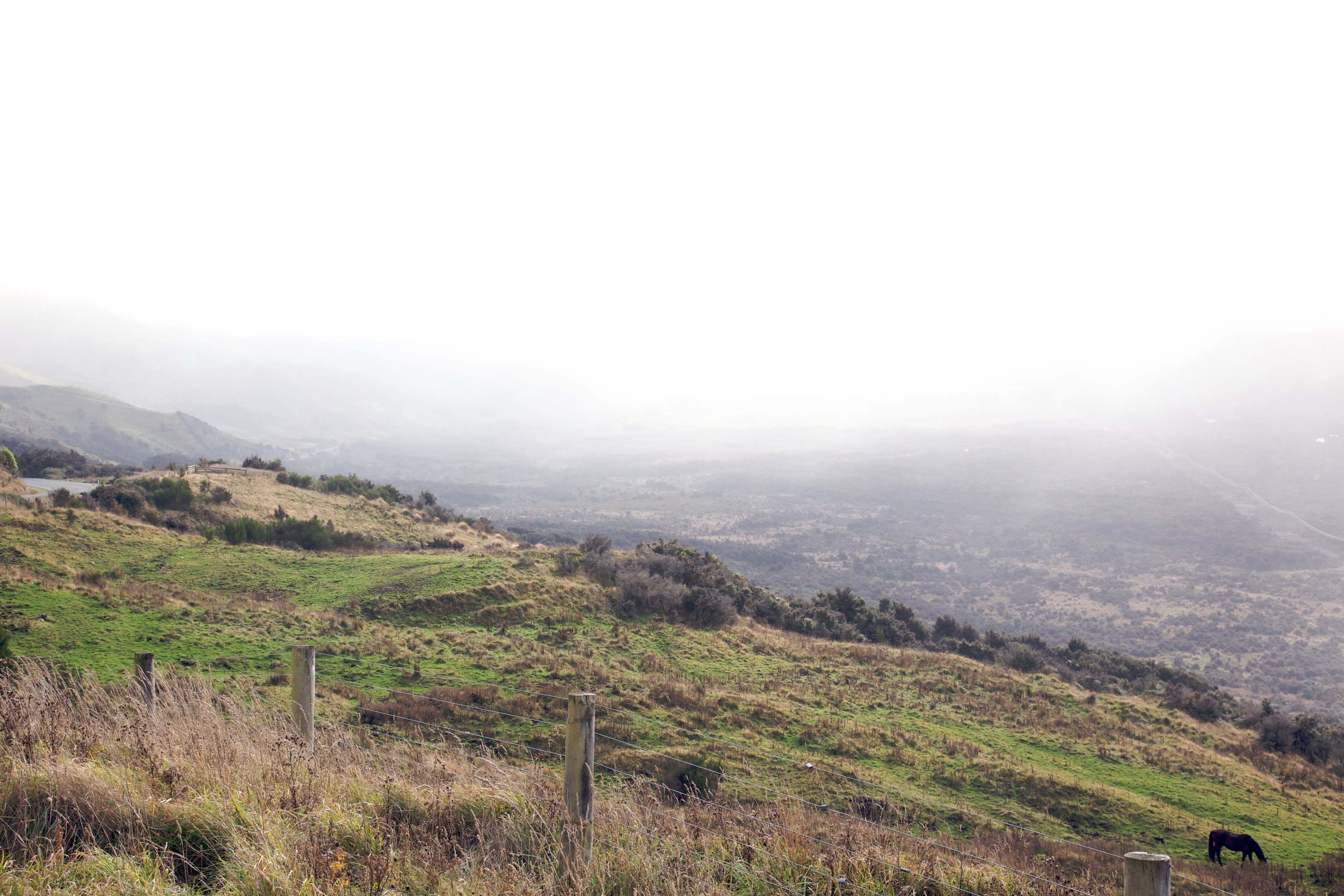
IMG_2212 - Version 2
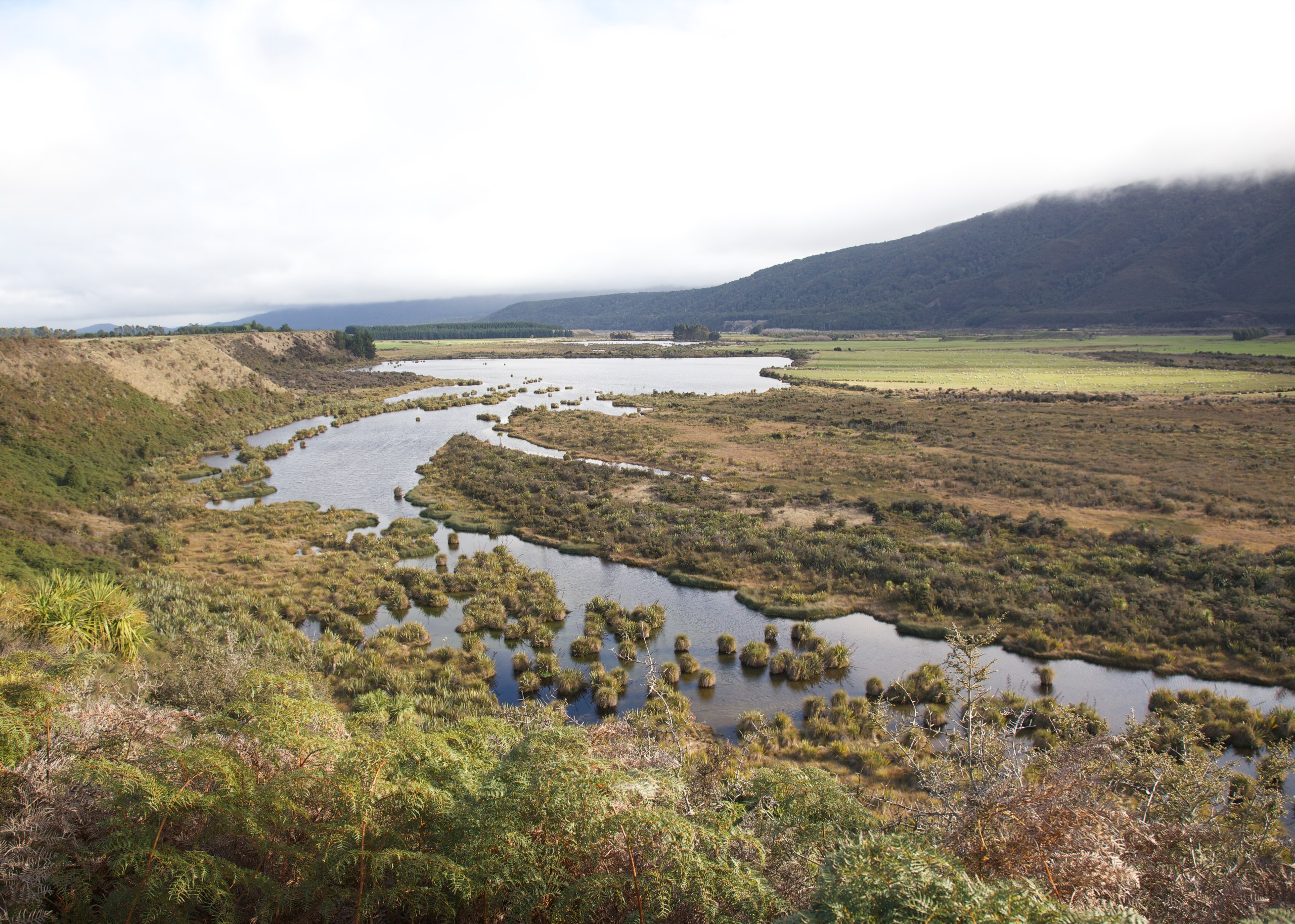
IMG_2206 - Version 2
Topographic Map of Brunel Peaks, Southland, New Zealand
Find elevation by address:

Places near Brunel Peaks, Southland, New Zealand:
Blackmount
Southland
Southland District
438 Gillespie Rd
The Key
Manapouri
Titiroa
36c Kakapo Rd
223 Kakapo Rd
300 Kakapo Rd
1 Burnby Drive
Lakefront Lodge
500 Kakapo Rd
Kakapo Road
Te Anau
22 Mckerrow St
49 Mokonui Street
39 Matai St
217 Sinclair Rd
1200 Kakapo Rd
Recent Searches:
- Elevation of Corso Fratelli Cairoli, 35, Macerata MC, Italy
- Elevation of Tallevast Rd, Sarasota, FL, USA
- Elevation of 4th St E, Sonoma, CA, USA
- Elevation of Black Hollow Rd, Pennsdale, PA, USA
- Elevation of Oakland Ave, Williamsport, PA, USA
- Elevation of Pedrógão Grande, Portugal
- Elevation of Klee Dr, Martinsburg, WV, USA
- Elevation of Via Roma, Pieranica CR, Italy
- Elevation of Tavkvetili Mountain, Georgia
- Elevation of Hartfords Bluff Cir, Mt Pleasant, SC, USA