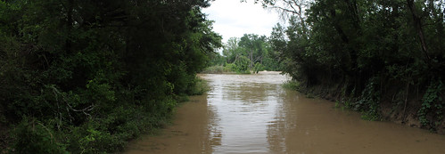
Elevation of Iredell, TX, USA
Location: United States > Texas > Bosque County >
Longitude: -97.871974
Latitude: 31.9851488
Elevation: 275m / 902feet
Barometric Pressure: 98KPa
Related Photos:
Topographic Map of Iredell, TX, USA
Find elevation by address:

Places in Iredell, TX, USA:
Places near Iredell, TX, USA:
Eastland St, Iredell, TX, USA
197 Eastland St
1676 Co Rd 234
7652 Fm 927
5165 Co Rd 2013
Walnut Springs
Hico
FM, Hico, TX, USA
FM, Hico, TX, USA
Meridian State Park
County Rd, Glen Rose, TX, USA
Cranfills Gap
TX-22, Cranfills Gap, TX, USA
Bosque County
262 County Rd 2710
14461 Fm1602
Meridian
US-67, Stephenville, TX, USA
Bosque County Sheriff's Office
Green Meadows Drive
Recent Searches:
- Elevation of Corso Fratelli Cairoli, 35, Macerata MC, Italy
- Elevation of Tallevast Rd, Sarasota, FL, USA
- Elevation of 4th St E, Sonoma, CA, USA
- Elevation of Black Hollow Rd, Pennsdale, PA, USA
- Elevation of Oakland Ave, Williamsport, PA, USA
- Elevation of Pedrógão Grande, Portugal
- Elevation of Klee Dr, Martinsburg, WV, USA
- Elevation of Via Roma, Pieranica CR, Italy
- Elevation of Tavkvetili Mountain, Georgia
- Elevation of Hartfords Bluff Cir, Mt Pleasant, SC, USA
