Elevation of Irbid Governorate, Jordan
Location: Jordan >
Longitude: 35.8478965
Latitude: 32.5569636
Elevation: 572m / 1877feet
Barometric Pressure: 95KPa
Elevation Map:
Satellite Map:
Related Photos:

Eastward view from Aydun

Hubres/Hebras; general view

Hubres/Hebras; general view

Hubres/Hebras; general view

Hubres/Hebras; general view

Hubres/Hebras; general view

Kharja area; view north-east
Kharja area; view north-east

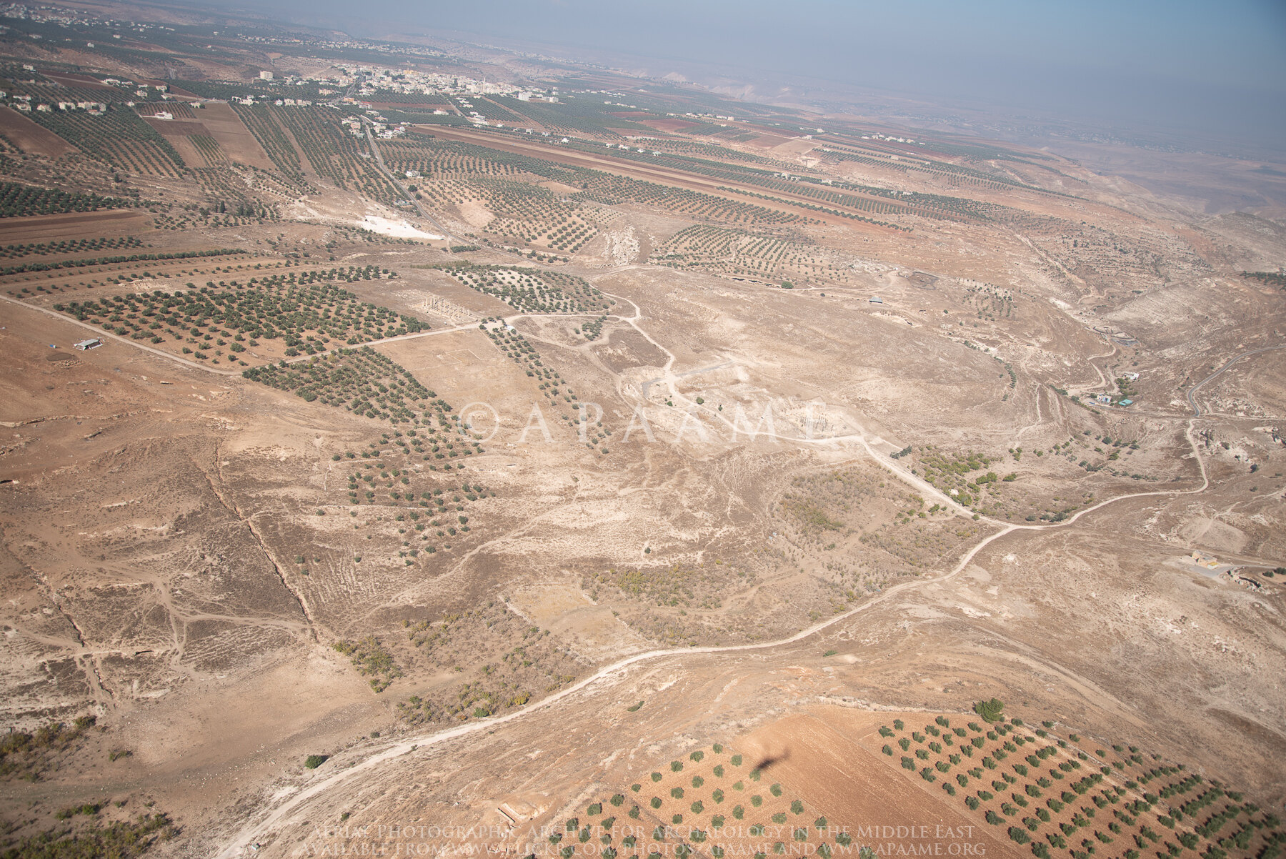
Quwelbeh / Abila; General View
Quwelbeh / Abila; General View

Quwelbeh / Abila; General View

Zambut Meleik

❤

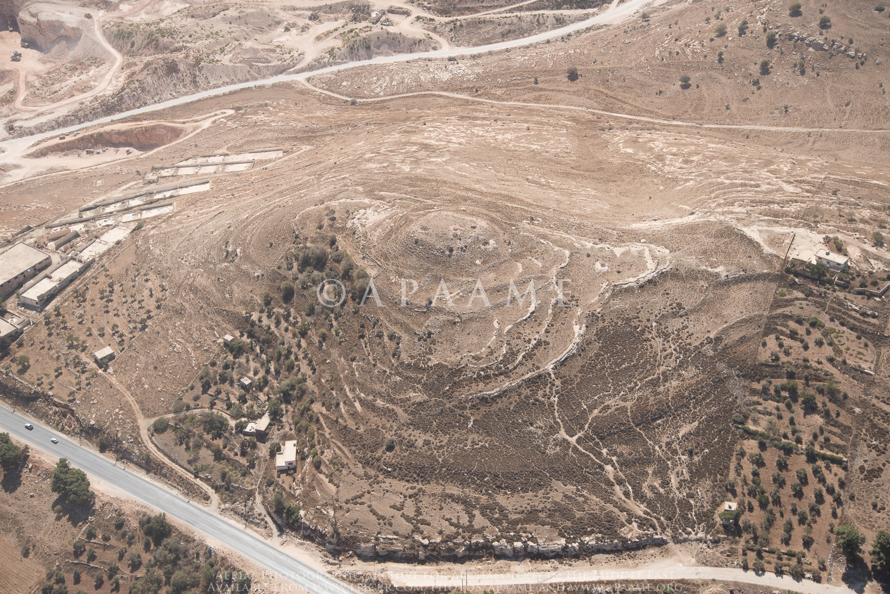
Deir Abu Said Rock-cut Feature? 1

Mount Hermon
Zambut Meleik

Al Zatara

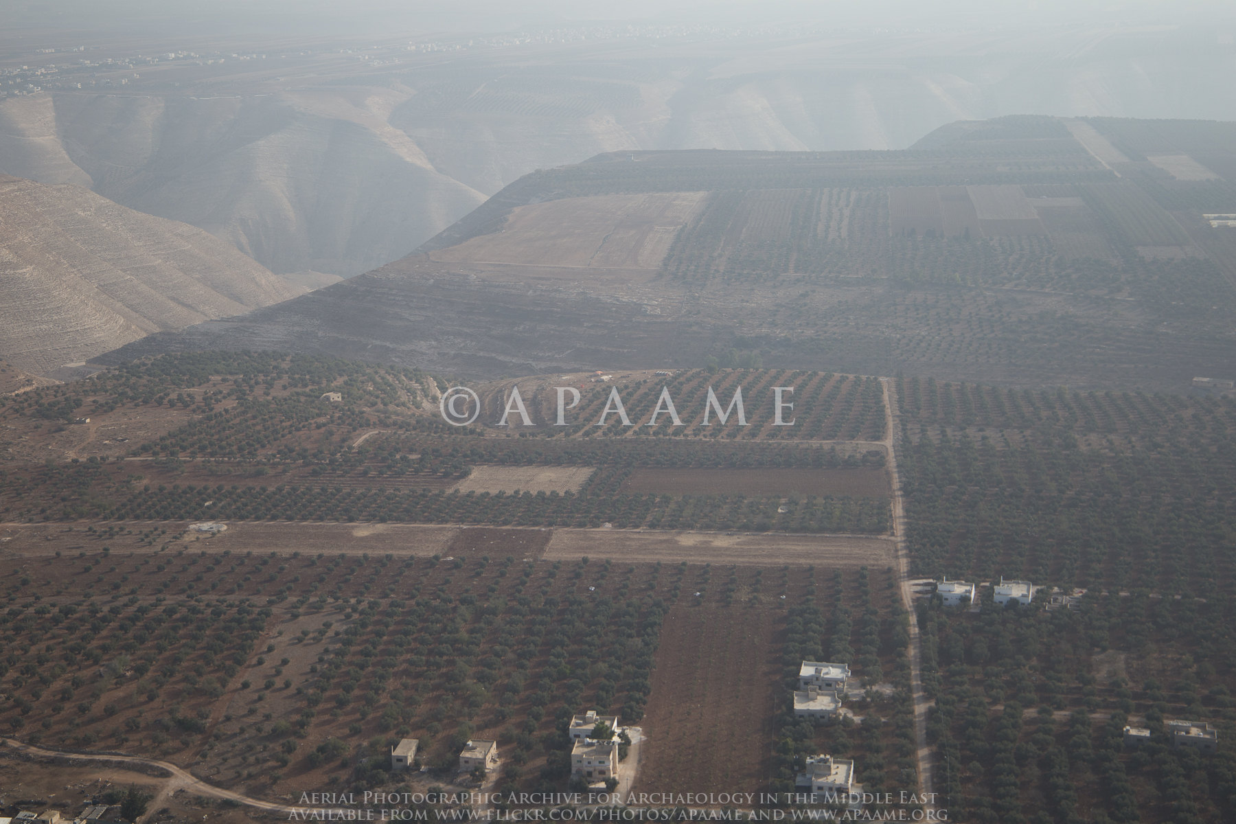
Irbid lanscape from Habaka

Olive Trees of Habaka in May (HDR)

Irbid Modern Quarry

DSC_1255_Highway to Ramtha city

Irbid bypass

Jarash Ruin 24

Irbid Fieldsystem? 1; Irbid Cistern? 1
Beit Yafa

Jarash Ruin? 26 - Tell Sawkil (Abd/Meytwan?)

Irbid Fieldsystem? 1

FINALLY! My first camera(and it's DSLR) :D

Irbid Fieldsystem? 1

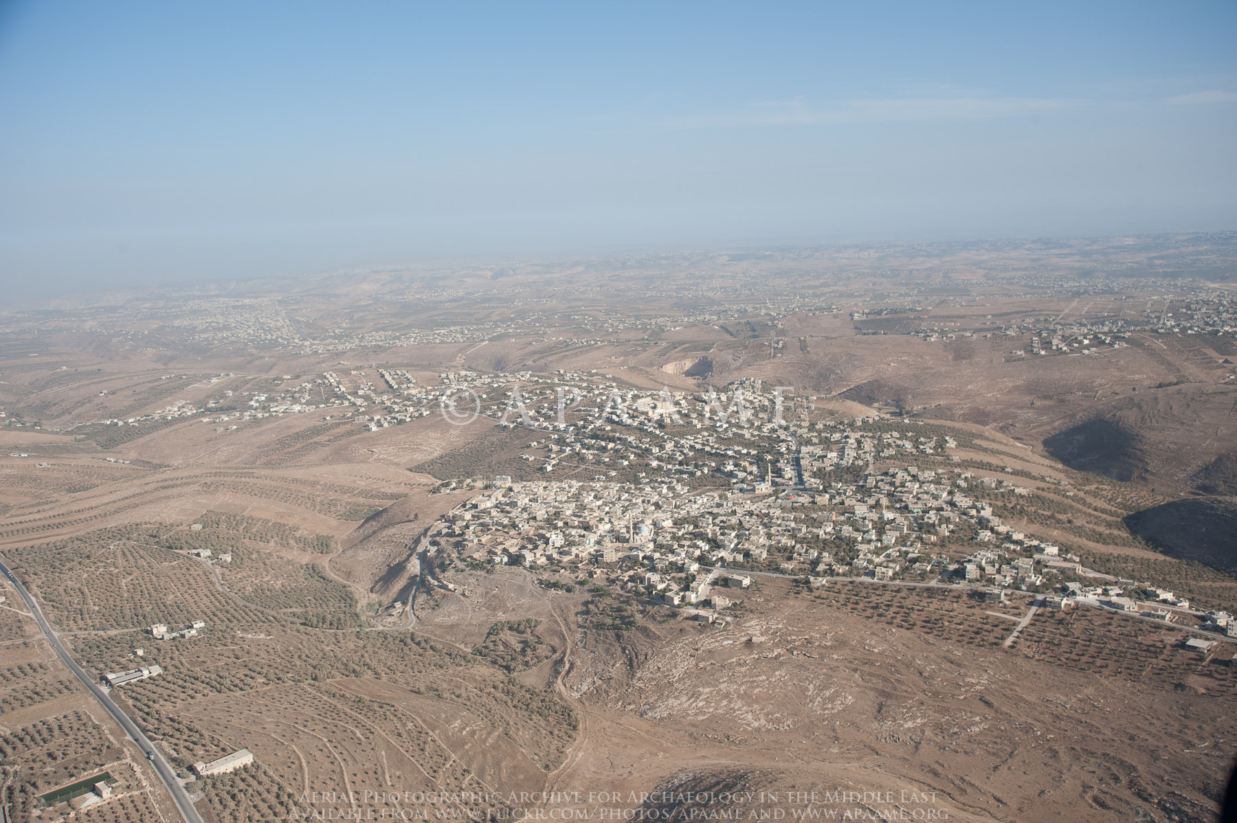
Beit Ras/ Capitolias
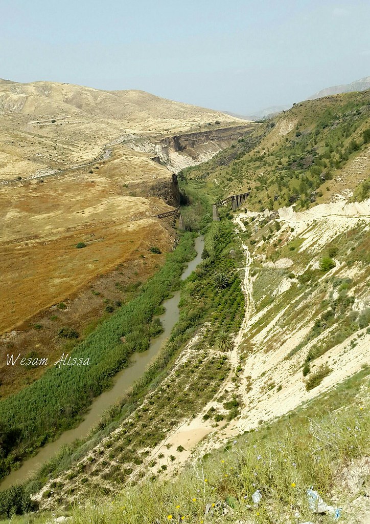
Yarmouk River

Irbid bypass
Topographic Map of Irbid Governorate, Jordan
Find elevation by address:

Places in Irbid Governorate, Jordan:
Places near Irbid Governorate, Jordan:
Bani Obeid District
Shatana
Umm Qais
Ishtafina Park Tourism
Daraa
Masada
Avnei Eitan
Haspin
Jordan River
Ein Gev Holiday Resort
Gesher
Ubeidiya
Yardenit
Emek Hayarden
Unnamed Road
Ramot
Emek Hamayanot
Unnamed Road
Beit She'an
Kinneret
Recent Searches:
- Elevation of Corso Fratelli Cairoli, 35, Macerata MC, Italy
- Elevation of Tallevast Rd, Sarasota, FL, USA
- Elevation of 4th St E, Sonoma, CA, USA
- Elevation of Black Hollow Rd, Pennsdale, PA, USA
- Elevation of Oakland Ave, Williamsport, PA, USA
- Elevation of Pedrógão Grande, Portugal
- Elevation of Klee Dr, Martinsburg, WV, USA
- Elevation of Via Roma, Pieranica CR, Italy
- Elevation of Tavkvetili Mountain, Georgia
- Elevation of Hartfords Bluff Cir, Mt Pleasant, SC, USA