Elevation of Irazú Volcano, Costa Rica
Location: Costa Rica > Cartago >
Longitude: -83.849076
Latitude: 9.9799813
Elevation: 3211m / 10535feet
Barometric Pressure: 68KPa
Elevation Map:
Satellite Map:
Related Photos:
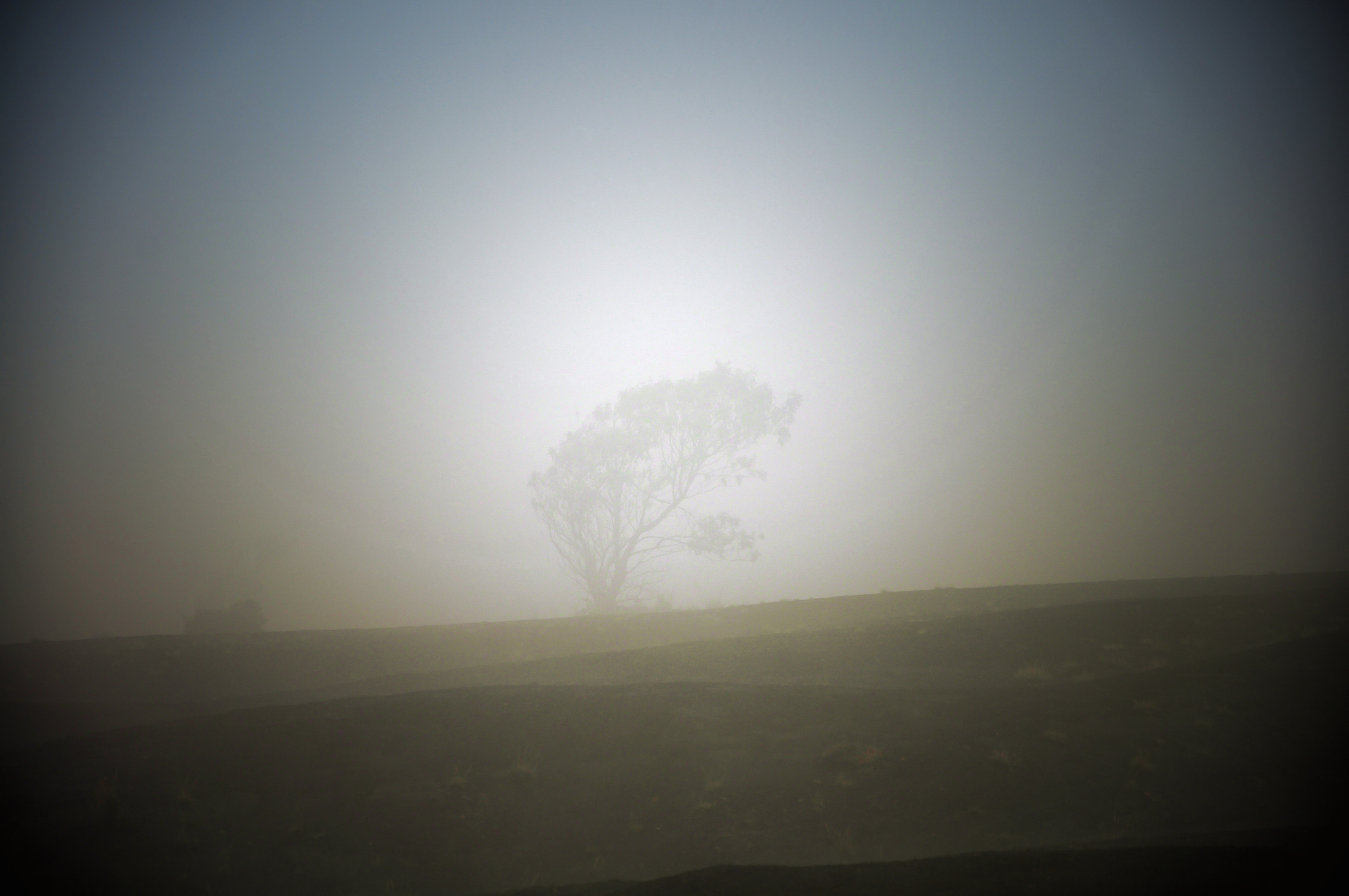
Lonely Tree in the Mist
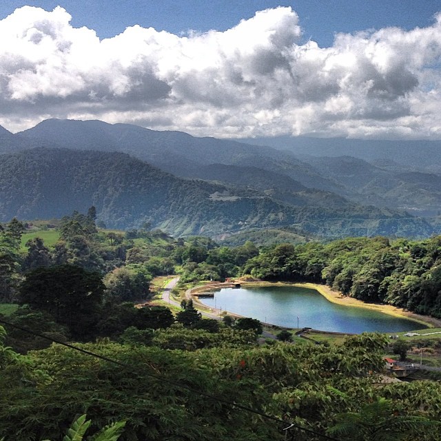
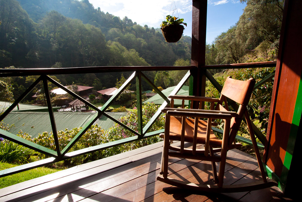
A view from our morning dose of gallo pinto. En route from Cartago to Turrialba, Costa Rica.

Fading Away

Crops with view
Volcan-Irazu-view
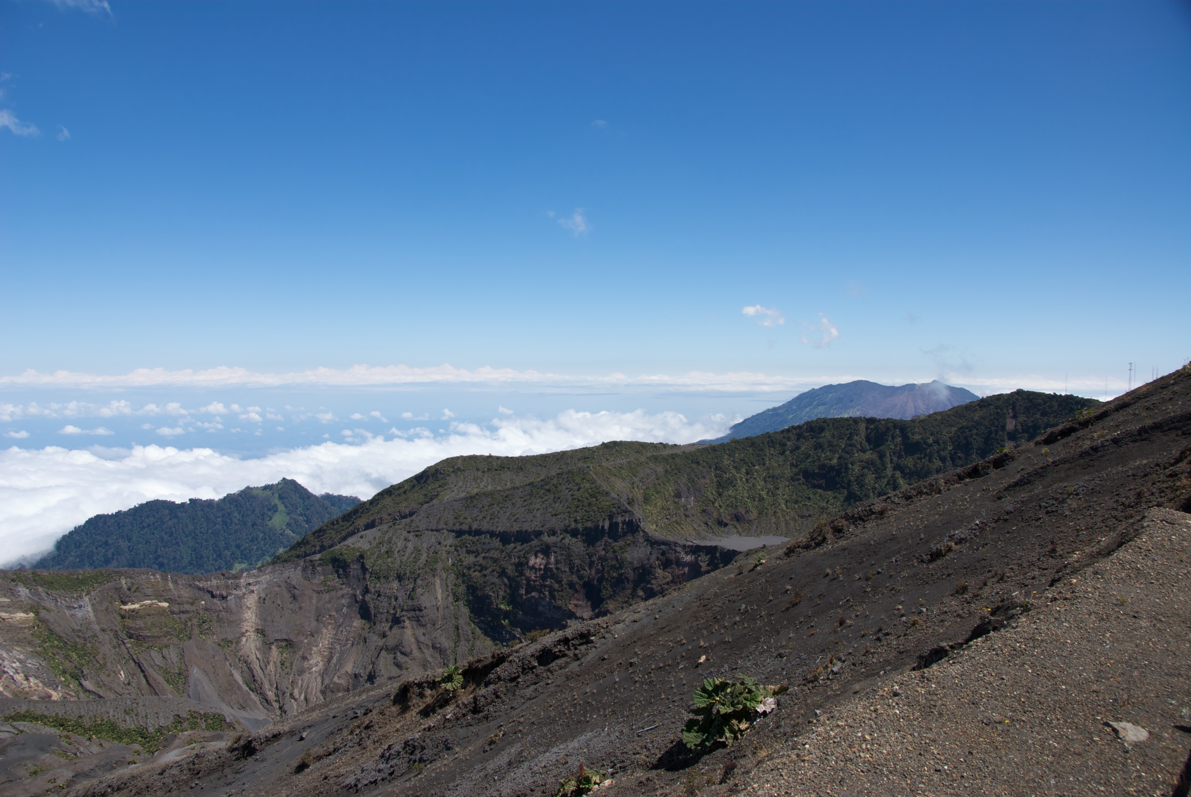
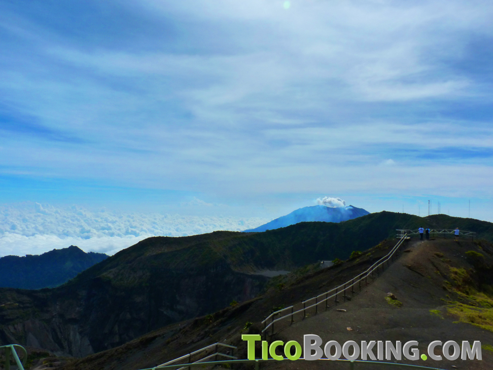
View From The Summit
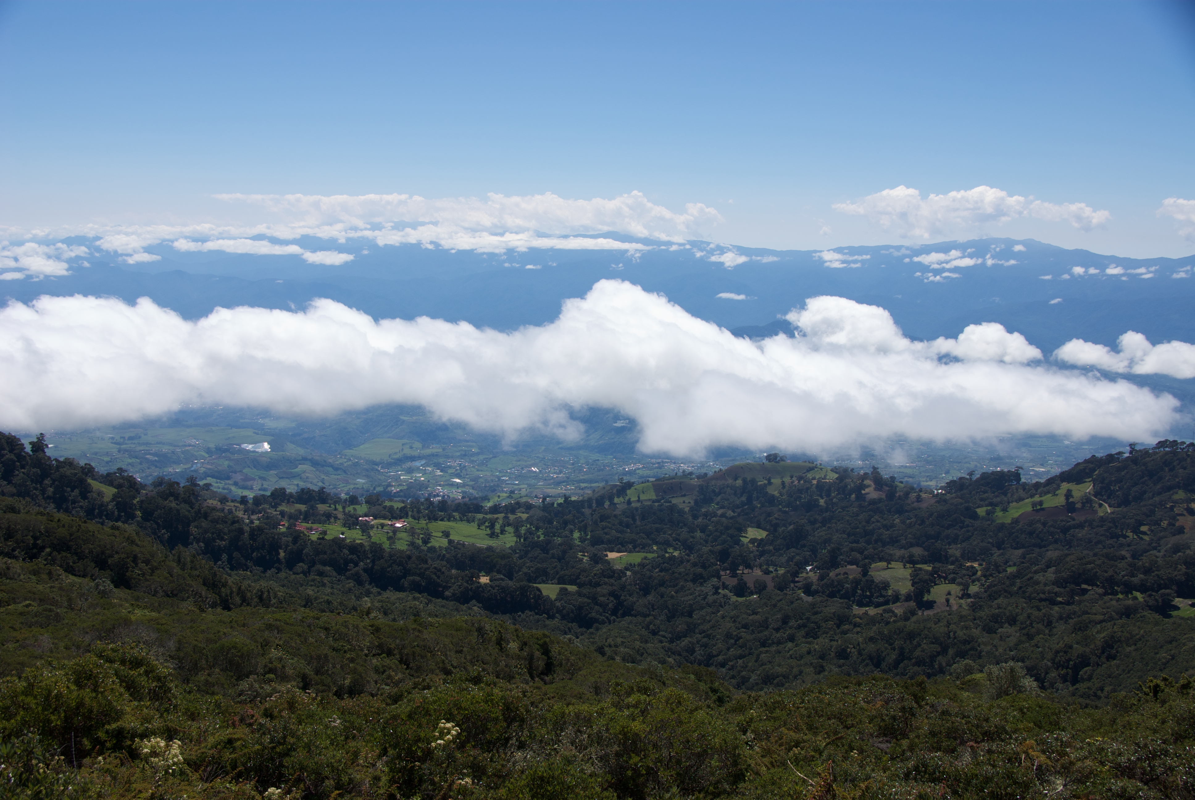
Valley View
View From The Summit
Topographic Map of Irazú Volcano, Costa Rica
Find elevation by address:

Places near Irazú Volcano, Costa Rica:
X554+xp
W4qj+qc
2626+w8
San Rafael
Cartago
Costa Rica
Tres Rios
X8f5+4m
Guayabo National Monument
El Tejar De El Guarco
Condominio Rialto
Escuela Santa Elena
Montes De Oca
Calle Mesen
Turrialba
La Trinidad
Curridabat
Central Valley Spanish School
Curridabat
San Miguel De Santo Domingo
Recent Searches:
- Elevation of Corso Fratelli Cairoli, 35, Macerata MC, Italy
- Elevation of Tallevast Rd, Sarasota, FL, USA
- Elevation of 4th St E, Sonoma, CA, USA
- Elevation of Black Hollow Rd, Pennsdale, PA, USA
- Elevation of Oakland Ave, Williamsport, PA, USA
- Elevation of Pedrógão Grande, Portugal
- Elevation of Klee Dr, Martinsburg, WV, USA
- Elevation of Via Roma, Pieranica CR, Italy
- Elevation of Tavkvetili Mountain, Georgia
- Elevation of Hartfords Bluff Cir, Mt Pleasant, SC, USA