Elevation of Inn Rd, Allagash, ME, USA
Location: United States > Maine > Aroostook County >
Longitude: -69.063973
Latitude: 47.0797562
Elevation: 190m / 623feet
Barometric Pressure: 99KPa
Elevation Map:
Satellite Map:
Related Photos:

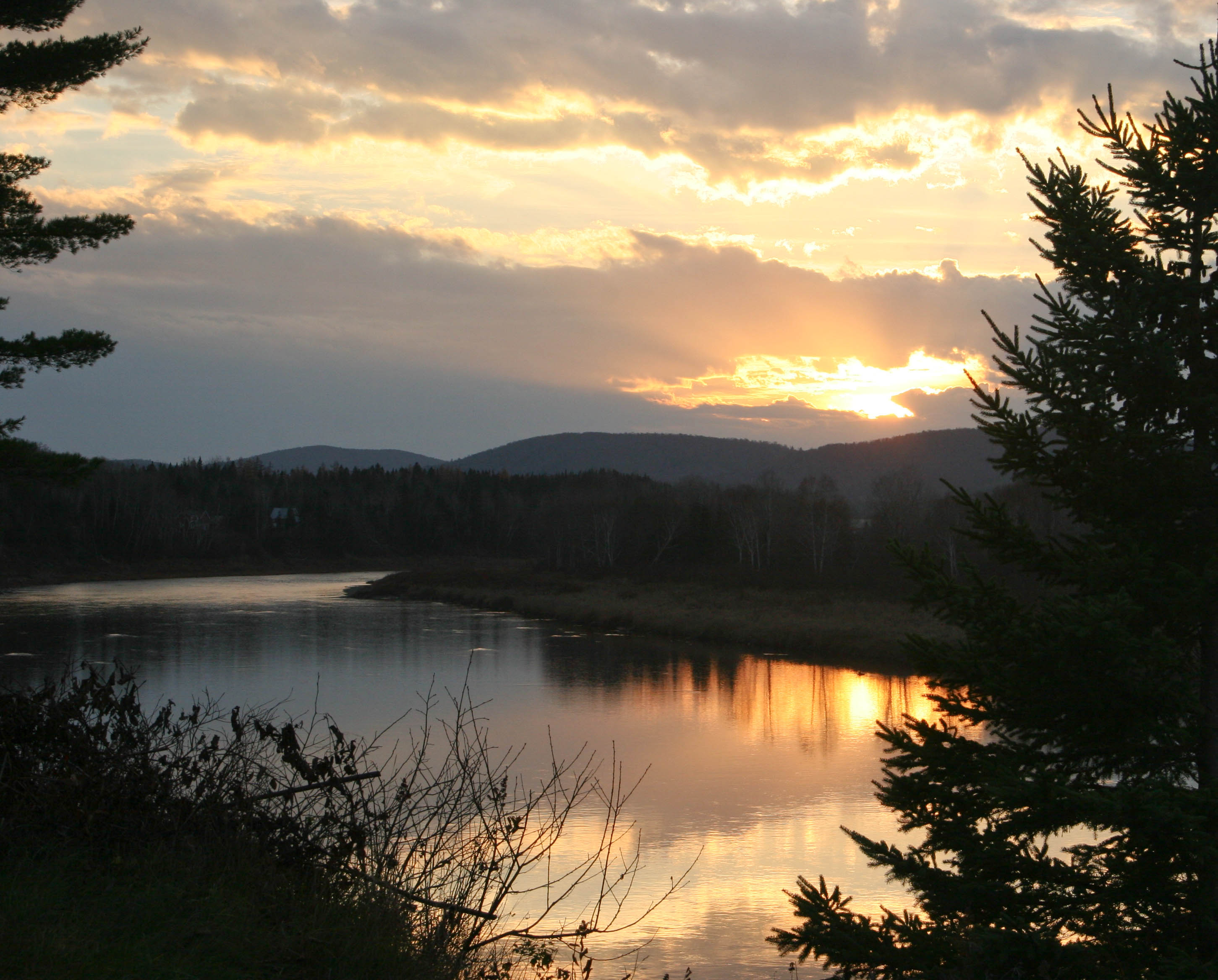
Saint John Sunset

Saint John Reflections

Saint John Sunrise

Saint John Cloud Line

Saint John Puffy Cloud

Saint John 1

Reserved Seating

Saint John Birches

Allagash Sunrise
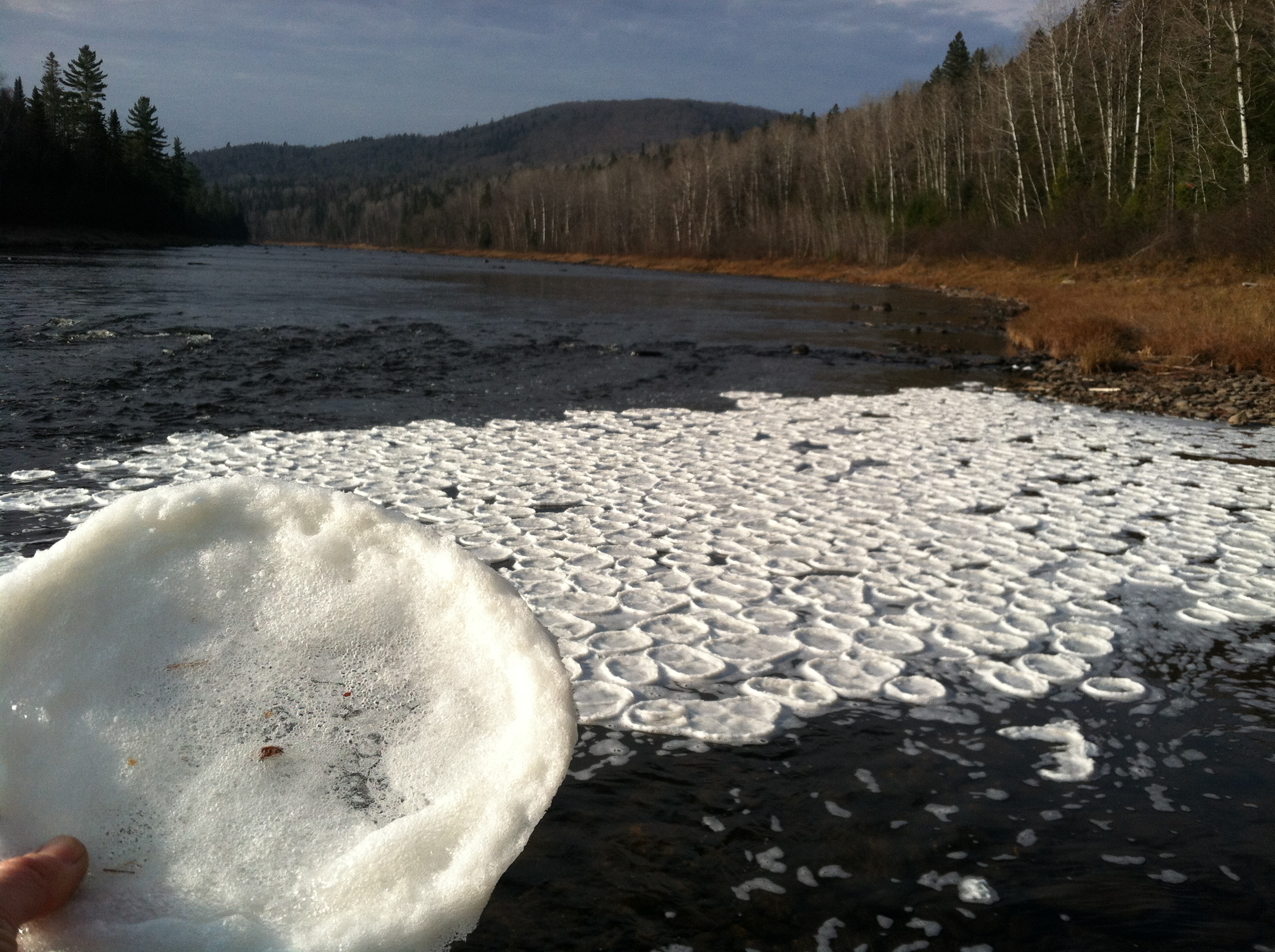
Pancake Ice?
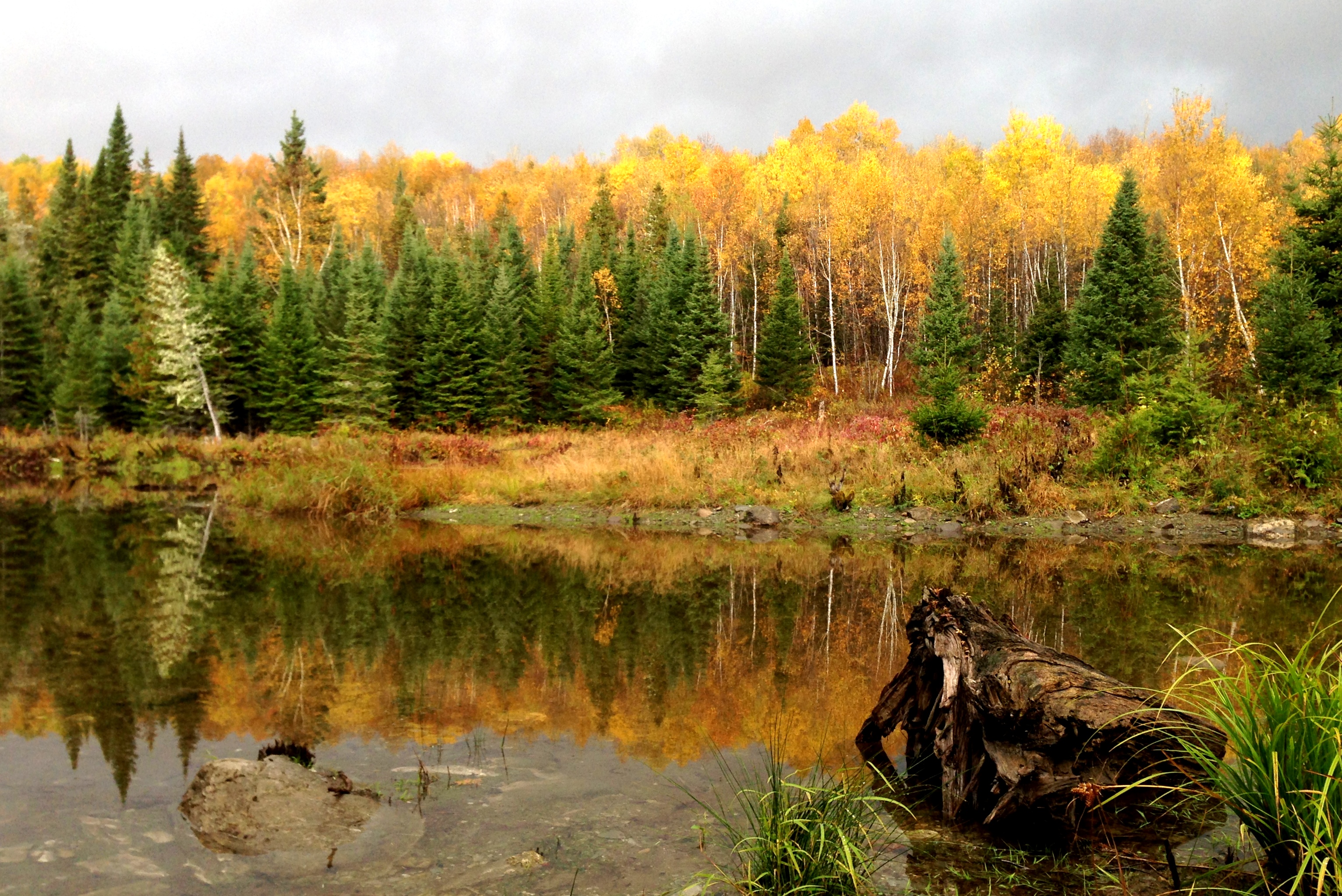
Northern Maine colors
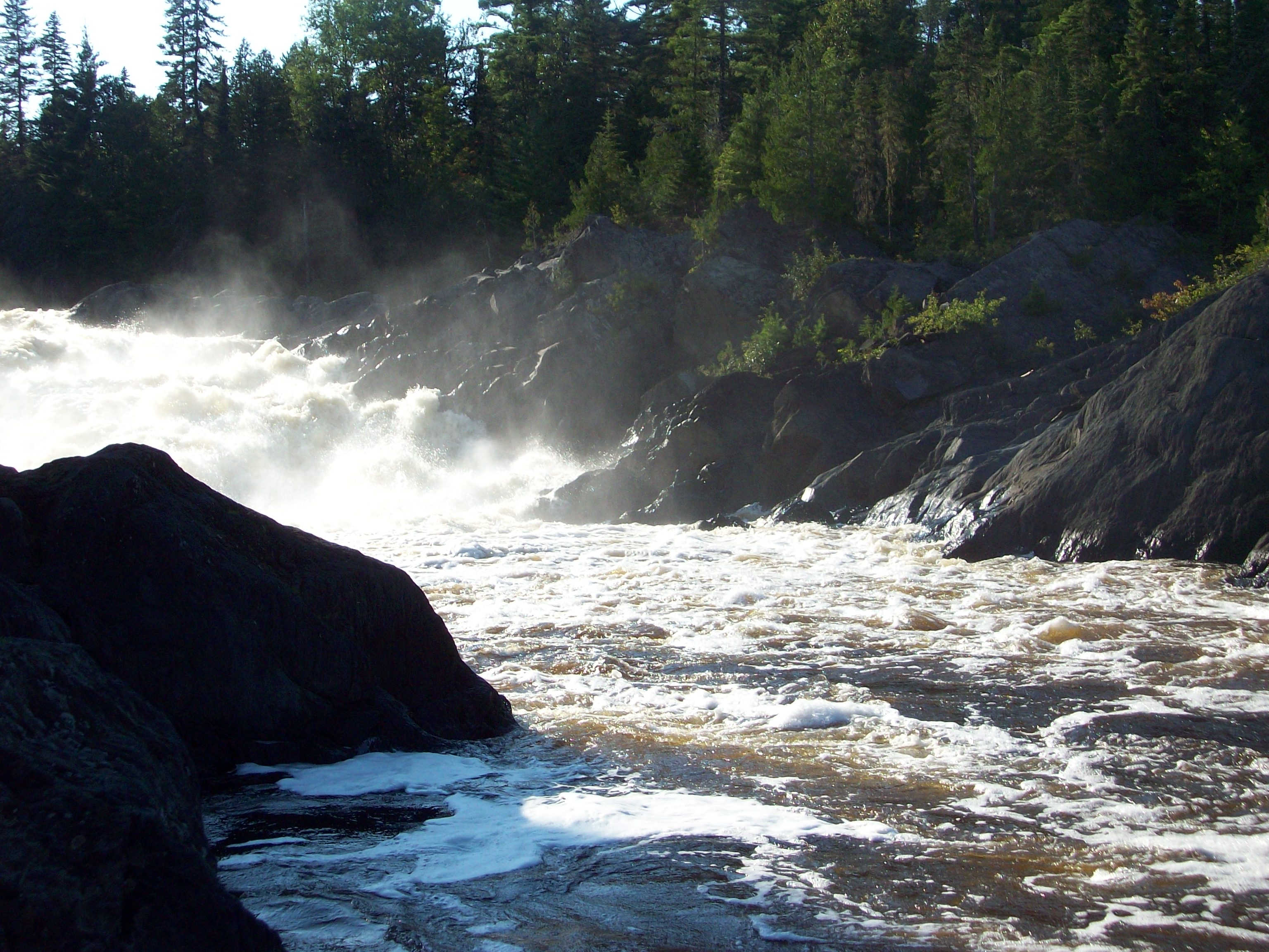
Allagash River Falls
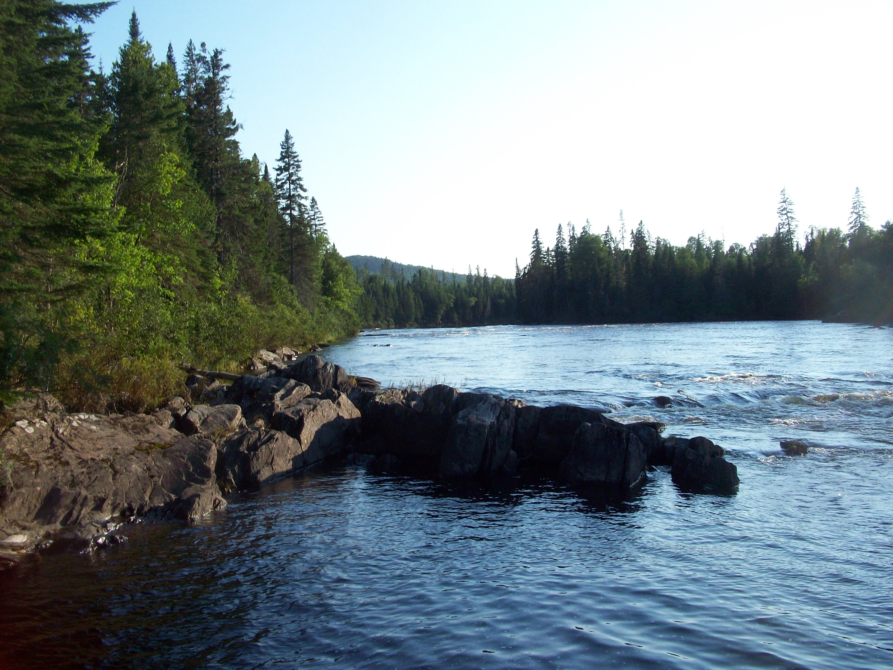
Allagash River
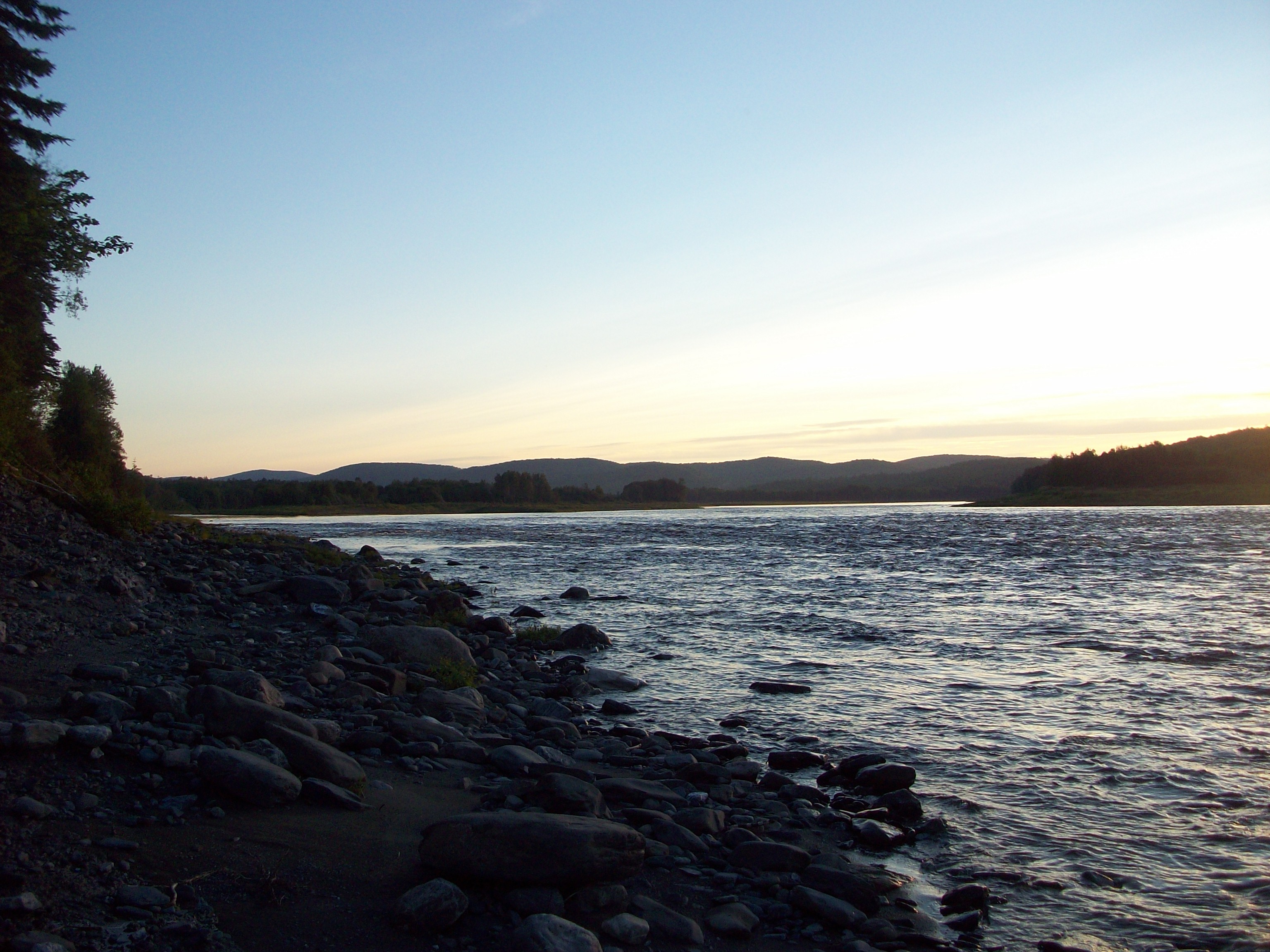
St. John's River at sunset (near Allagash, Maine)
sunset St John River
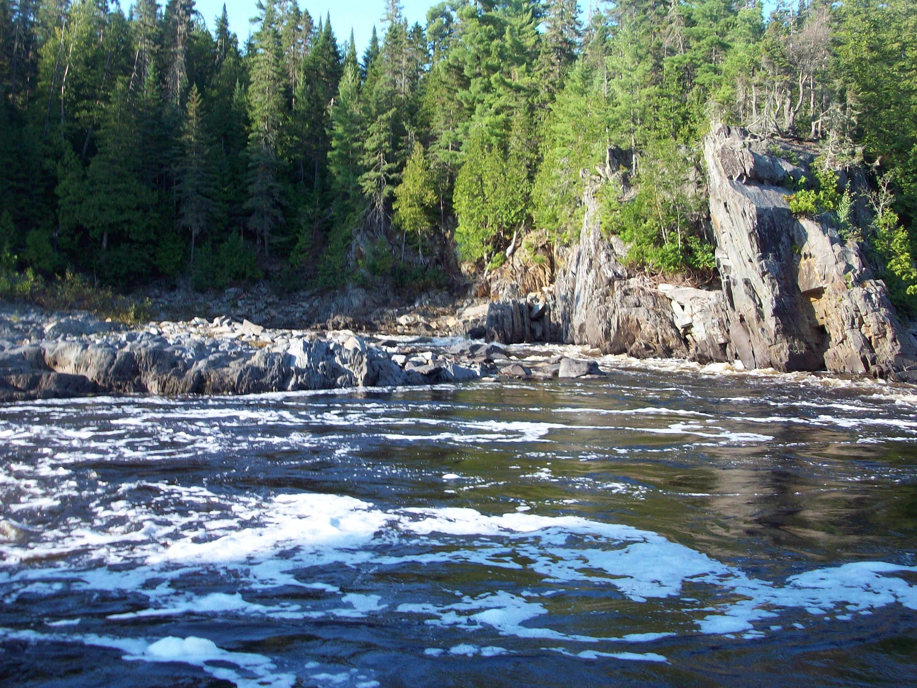
Foam below the Allagash Falls, Maine

Allagash Wilderness Waterway-- Maine (Day 6-- Cunliffe Depot to Allagash Village)

Allagash Wilderness Waterway-- Maine (Day 6-- Cunliffe Depot to Allagsh Village)

Allagash Wilderness Waterway-- Maine (Day 6-- Cunliffe Depot to Allagash Village)
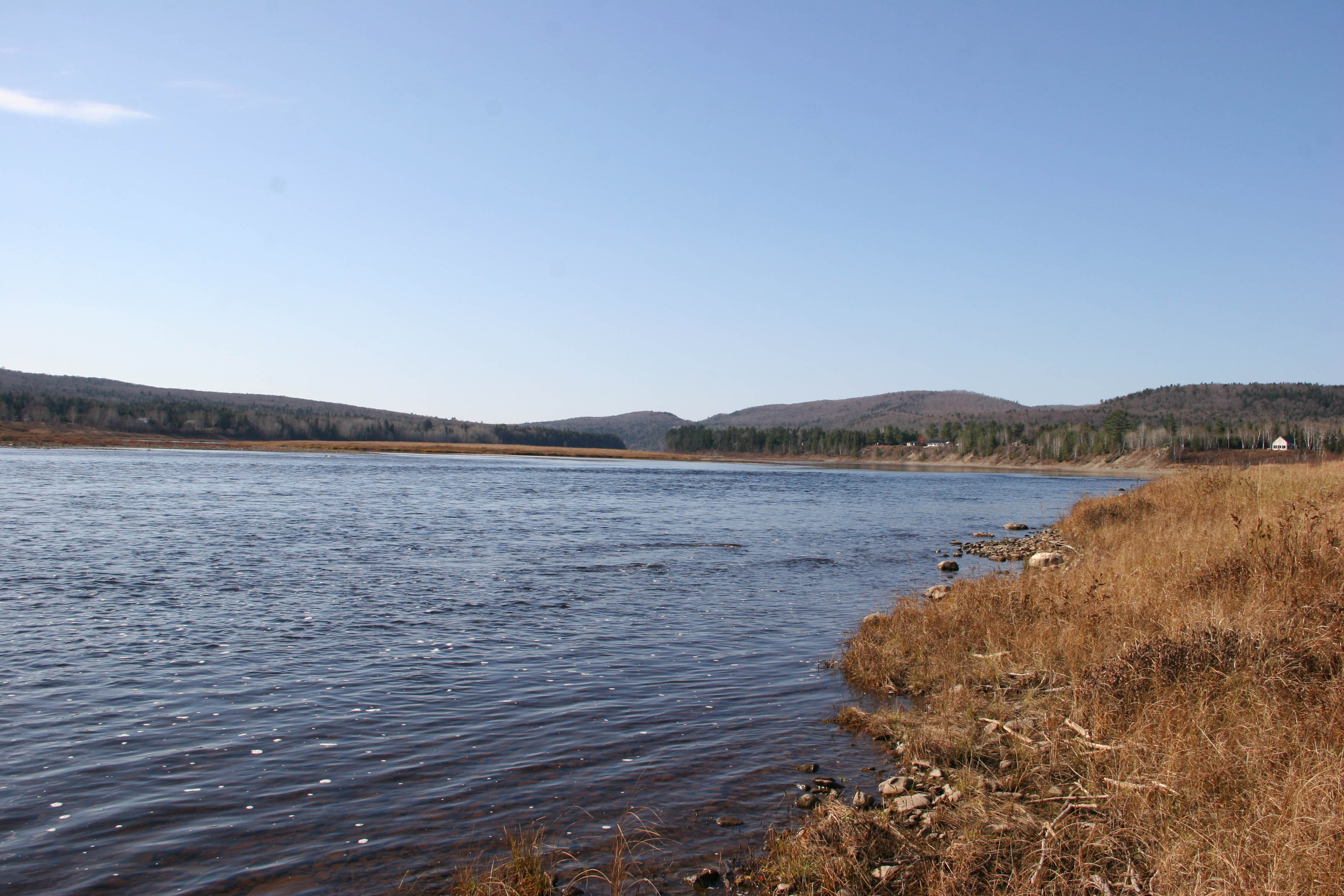
St John river

Allagash Wilderness Waterway-- Maine (Day 6-- Cunliffe Depot to Allagash Village)
Topographic Map of Inn Rd, Allagash, ME, USA
Find elevation by address:

Places near Inn Rd, Allagash, ME, USA:
Allagash
ME-, Allagash, ME, USA
St Francis, ME, USA
Dickey Rd, Allagash, ME, USA
20 Frank Mack Rd
1851 Main St
Saint-françois
Route Principale, Saint-Eusèbe, QC G0L 2Y0, Canada
Saint-eusèbe
Saint-eusèbe
Saint-athanase
Saint-elzéar-de-témiscouata
Témiscouata Regional County Municipality
103 Rue Dubé
Saint-louis-du-ha! Ha!
Saint-honoré-de-témiscouata
Saint-honoré-de-témiscouata
60 Rue De La Gare, Saint-Honoré-de-Témiscouata, QC G0L 3K0, Canada
40 Rue des Érables, Saint-Omer, QC G0R 4R0, Canada
Saint-omer
Recent Searches:
- Elevation of Corso Fratelli Cairoli, 35, Macerata MC, Italy
- Elevation of Tallevast Rd, Sarasota, FL, USA
- Elevation of 4th St E, Sonoma, CA, USA
- Elevation of Black Hollow Rd, Pennsdale, PA, USA
- Elevation of Oakland Ave, Williamsport, PA, USA
- Elevation of Pedrógão Grande, Portugal
- Elevation of Klee Dr, Martinsburg, WV, USA
- Elevation of Via Roma, Pieranica CR, Italy
- Elevation of Tavkvetili Mountain, Georgia
- Elevation of Hartfords Bluff Cir, Mt Pleasant, SC, USA