Elevation of Indian Creek Township, IN, USA
Location: United States > Indiana > Pulaski County >
Longitude: -86.640955
Latitude: 40.9704551
Elevation: 213m / 699feet
Barometric Pressure: 99KPa
Elevation Map:
Satellite Map:
Related Photos:
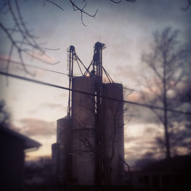
I do enjoy the view from my backyard. #sutro #morning
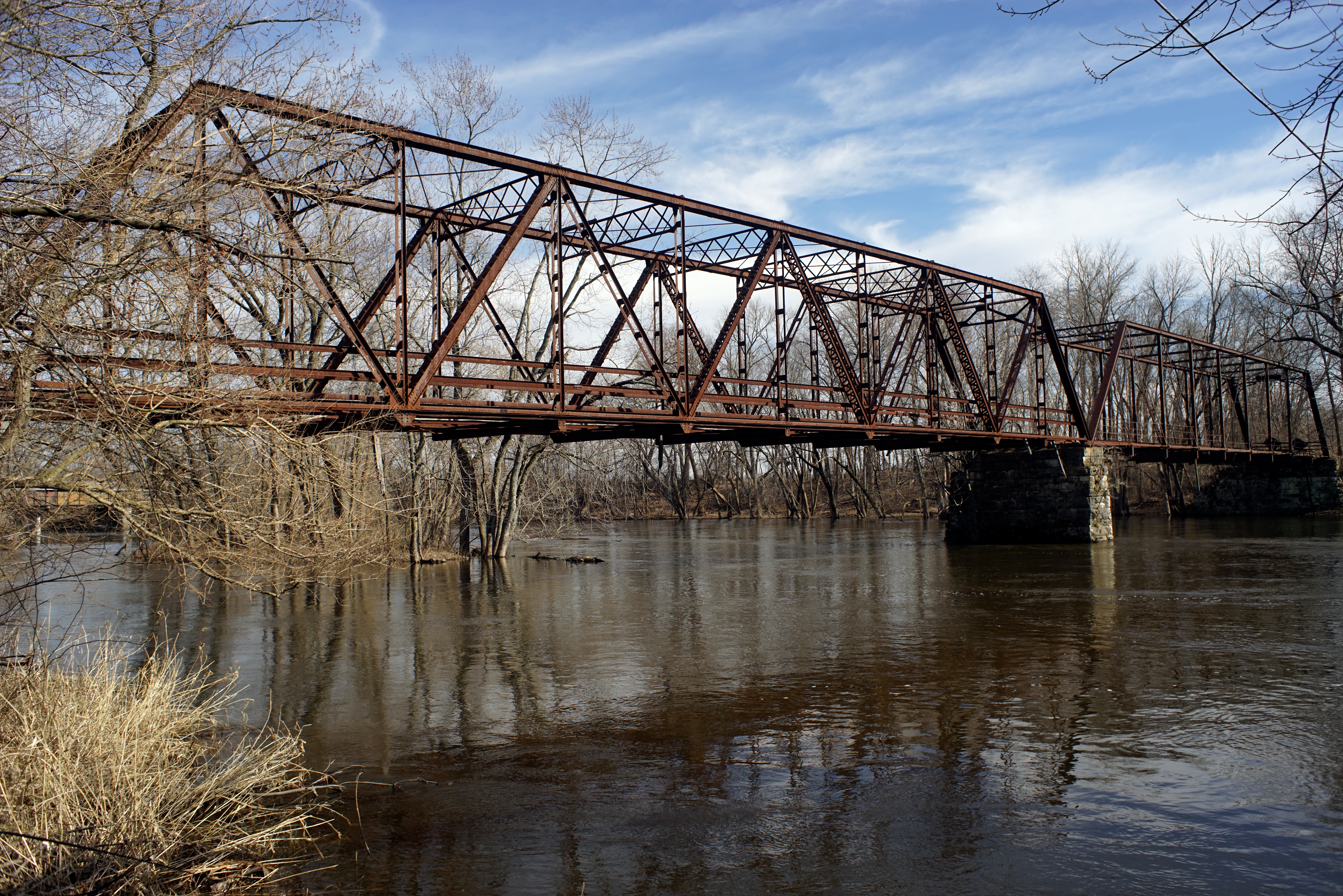
Wasson's Ford Bridge
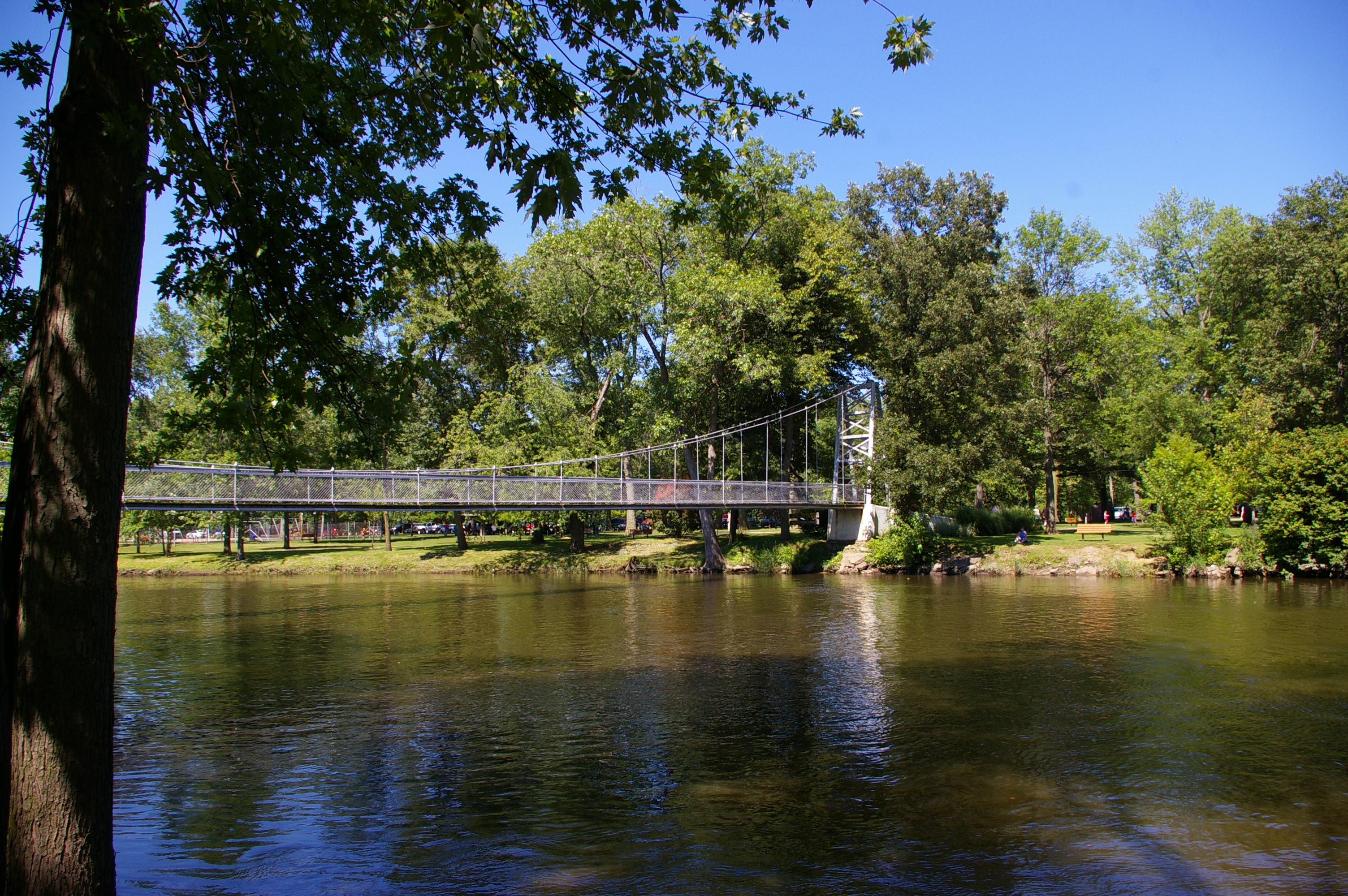
Pulaski County Memorial Bridge
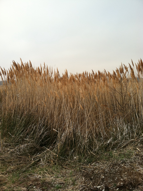
Common reed


Topographic Map of Indian Creek Township, IN, USA
Find elevation by address:

Places in Indian Creek Township, IN, USA:
Places near Indian Creek Township, IN, USA:
S Main St, Winamac, IN, USA
2232 County Rd 441 S
Monroe Township
E Main St, Star City, IN, USA
Star City
Winamac
N Monticello St, Winamac, IN, USA
Van Buren Township
N W, Winamac, IN, USA
E N, Winamac, IN, USA
Liberty
4200 Us-35
Franklin Township
N E, Winamac, IN, USA
Pulaski County
Raccoon Cir, Monticello, IN, USA
N W, Winamac, IN, USA
Tippecanoe Township
Rich Grove Township
4910 N Boxman Pl
Recent Searches:
- Elevation of Corso Fratelli Cairoli, 35, Macerata MC, Italy
- Elevation of Tallevast Rd, Sarasota, FL, USA
- Elevation of 4th St E, Sonoma, CA, USA
- Elevation of Black Hollow Rd, Pennsdale, PA, USA
- Elevation of Oakland Ave, Williamsport, PA, USA
- Elevation of Pedrógão Grande, Portugal
- Elevation of Klee Dr, Martinsburg, WV, USA
- Elevation of Via Roma, Pieranica CR, Italy
- Elevation of Tavkvetili Mountain, Georgia
- Elevation of Hartfords Bluff Cir, Mt Pleasant, SC, USA