Elevation of County Rd S, Star City, IN, USA
Location: United States > Indiana > Pulaski County > Indian Creek Township >
Longitude: -86.646328
Latitude: 40.990127
Elevation: 207m / 679feet
Barometric Pressure: 99KPa
Elevation Map:
Satellite Map:
Related Photos:

Indiana, Winamac, Geo. Kellers Cash Clothing Store
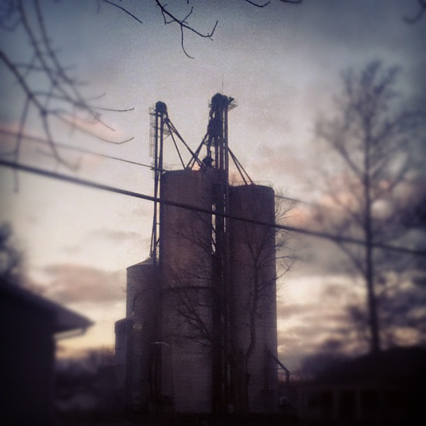
I do enjoy the view from my backyard. #sutro #morning

Indiana, Winamac, Geo. Keller's Cash Clothing Store (16,402)
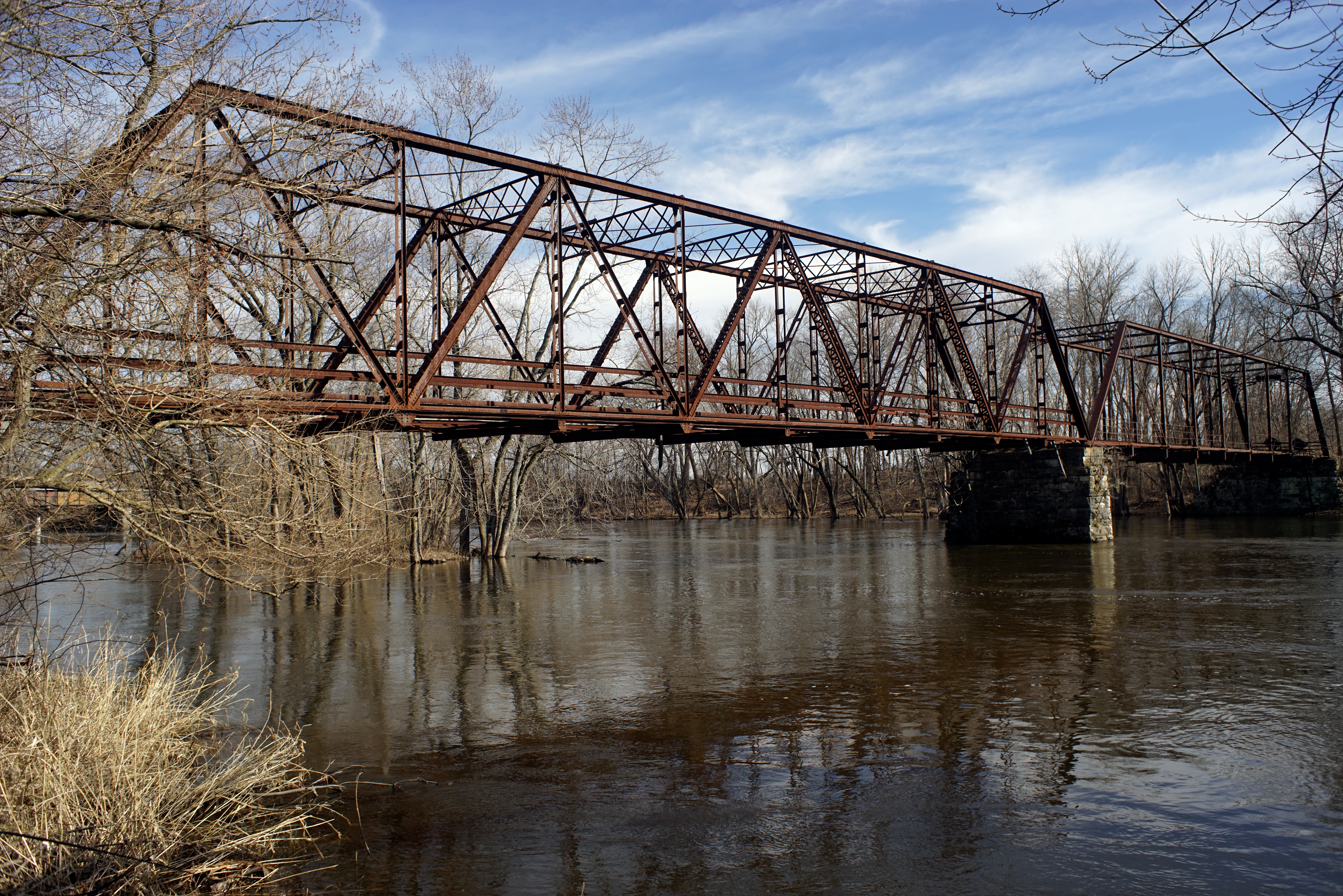
Wasson's Ford Bridge

See? Even Winamac is nice in the morning.
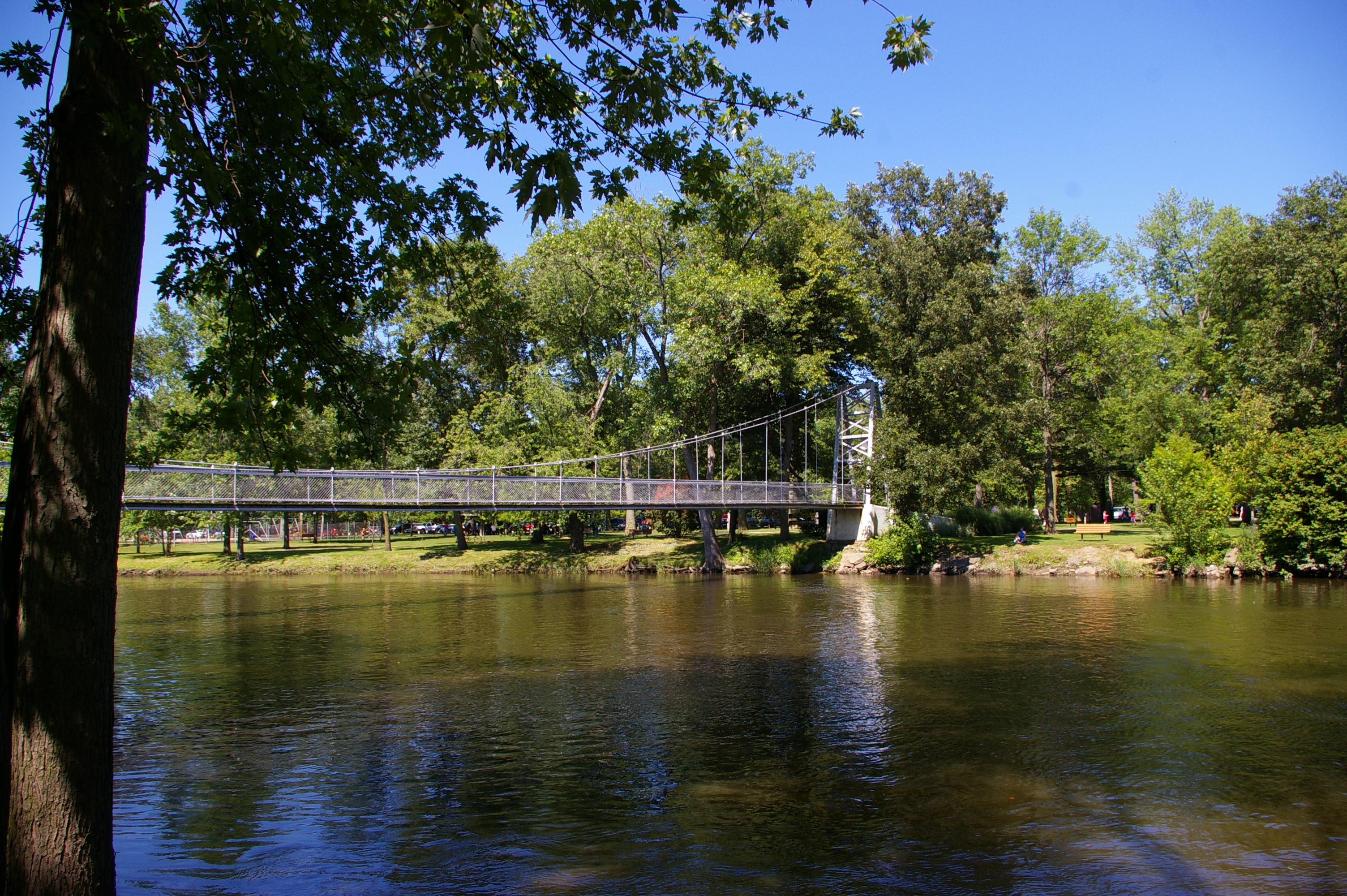
Pulaski County Memorial Bridge
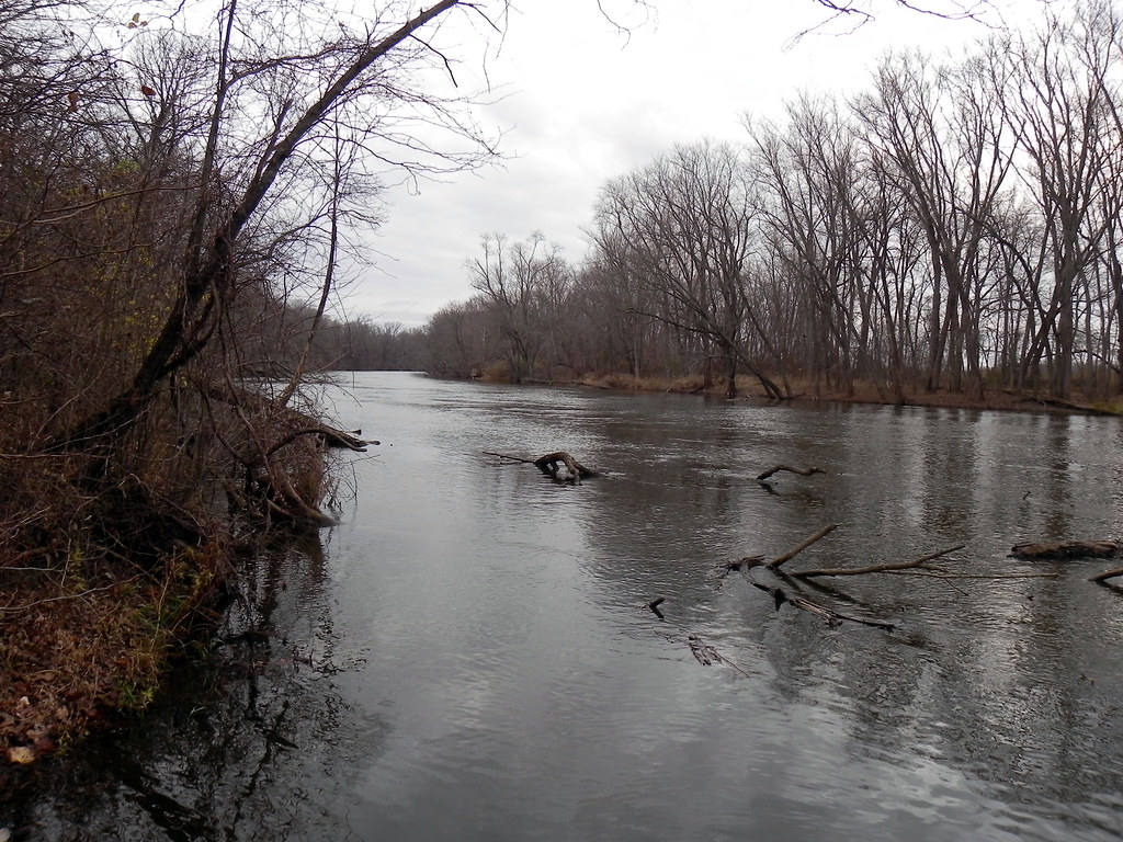
Tippecanoe River
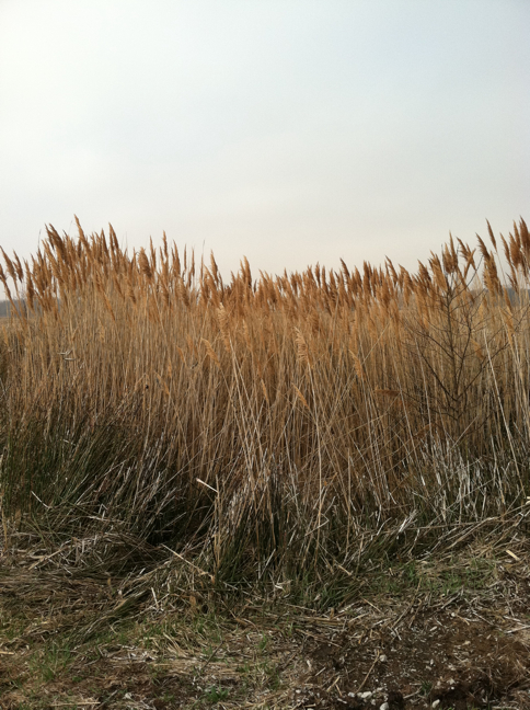
Common reed
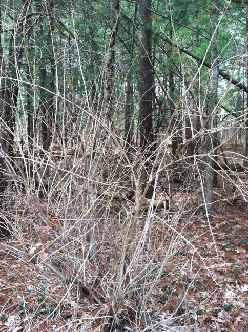
Amur (Bush) honeysuckle

Tippecanoe River State Park

Forest Floor

White Pines
Topographic Map of County Rd S, Star City, IN, USA
Find elevation by address:

Places near County Rd S, Star City, IN, USA:
S Main St, Winamac, IN, USA
Indian Creek Township
Monroe Township
N Monticello St, Winamac, IN, USA
Winamac
E Main St, Star City, IN, USA
Star City
N W, Winamac, IN, USA
E N, Winamac, IN, USA
Van Buren Township
4200 Us-35
Franklin Township
Liberty
N E, Winamac, IN, USA
N W, Winamac, IN, USA
Pulaski County
Rich Grove Township
Tippecanoe Township
Bass Station
Raccoon Cir, Monticello, IN, USA
Recent Searches:
- Elevation of Corso Fratelli Cairoli, 35, Macerata MC, Italy
- Elevation of Tallevast Rd, Sarasota, FL, USA
- Elevation of 4th St E, Sonoma, CA, USA
- Elevation of Black Hollow Rd, Pennsdale, PA, USA
- Elevation of Oakland Ave, Williamsport, PA, USA
- Elevation of Pedrógão Grande, Portugal
- Elevation of Klee Dr, Martinsburg, WV, USA
- Elevation of Via Roma, Pieranica CR, Italy
- Elevation of Tavkvetili Mountain, Georgia
- Elevation of Hartfords Bluff Cir, Mt Pleasant, SC, USA