Elevation of ID-21, Lowman, ID, USA
Location: United States > Idaho > Lowman >
Longitude: -115.45961
Latitude: 44.100091
Elevation: 1312m / 4304feet
Barometric Pressure: 87KPa
Elevation Map:
Satellite Map:
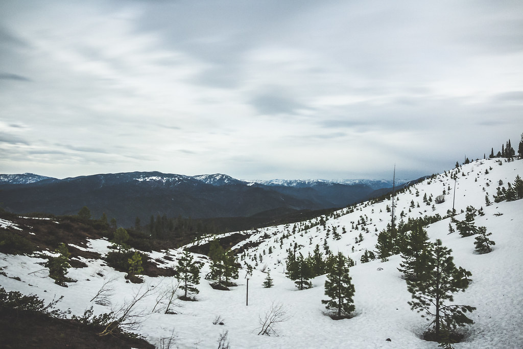
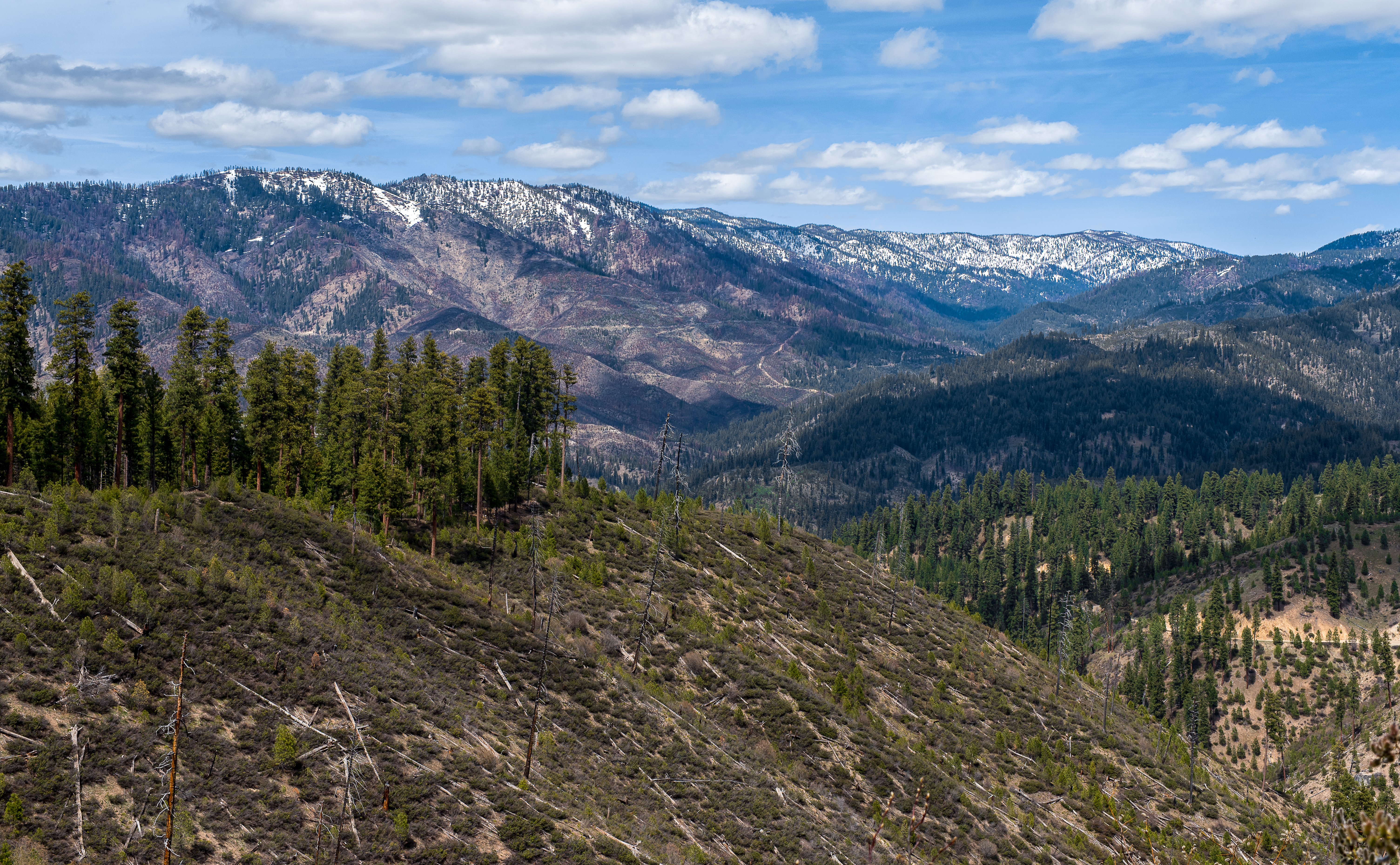
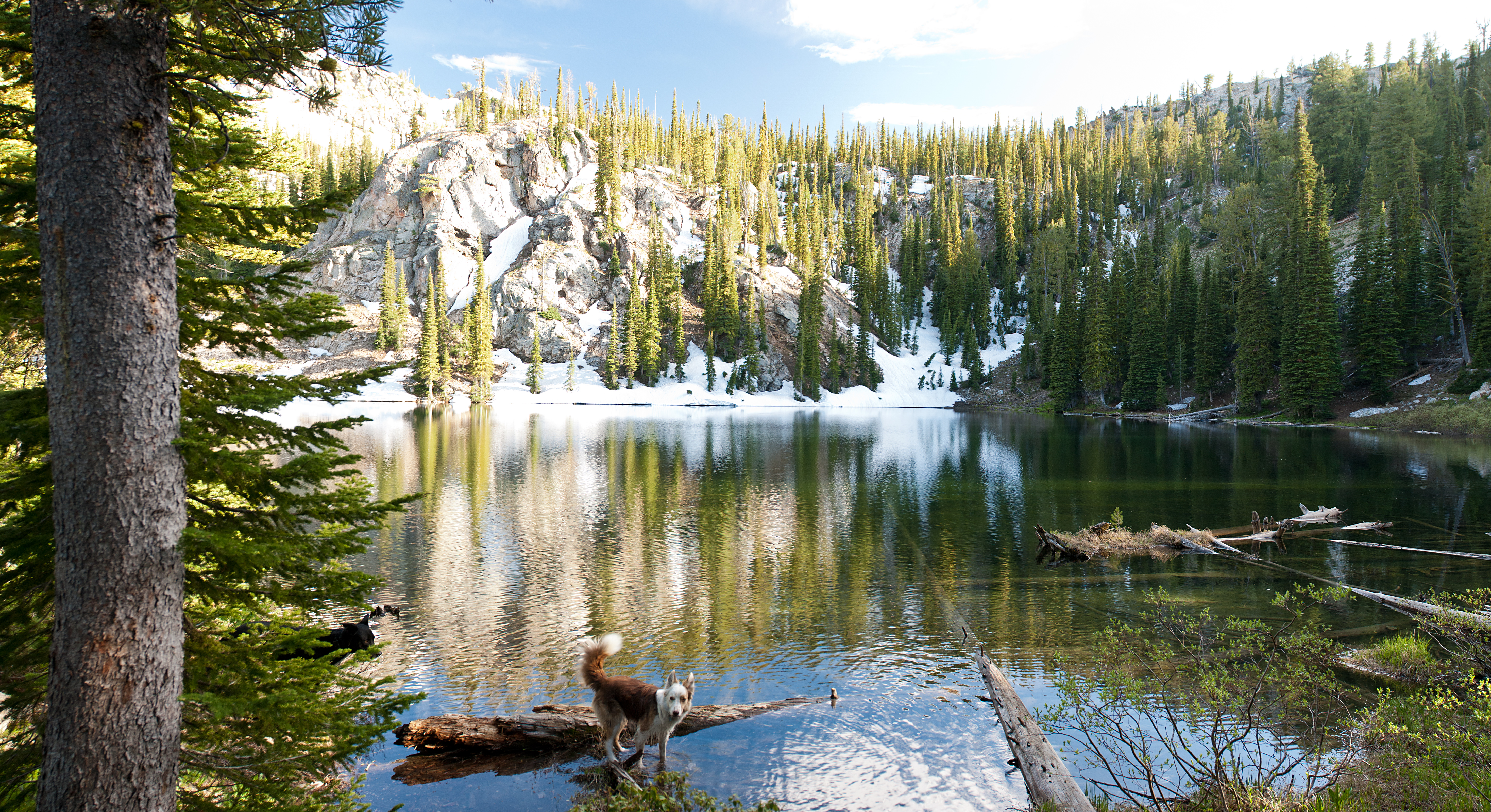
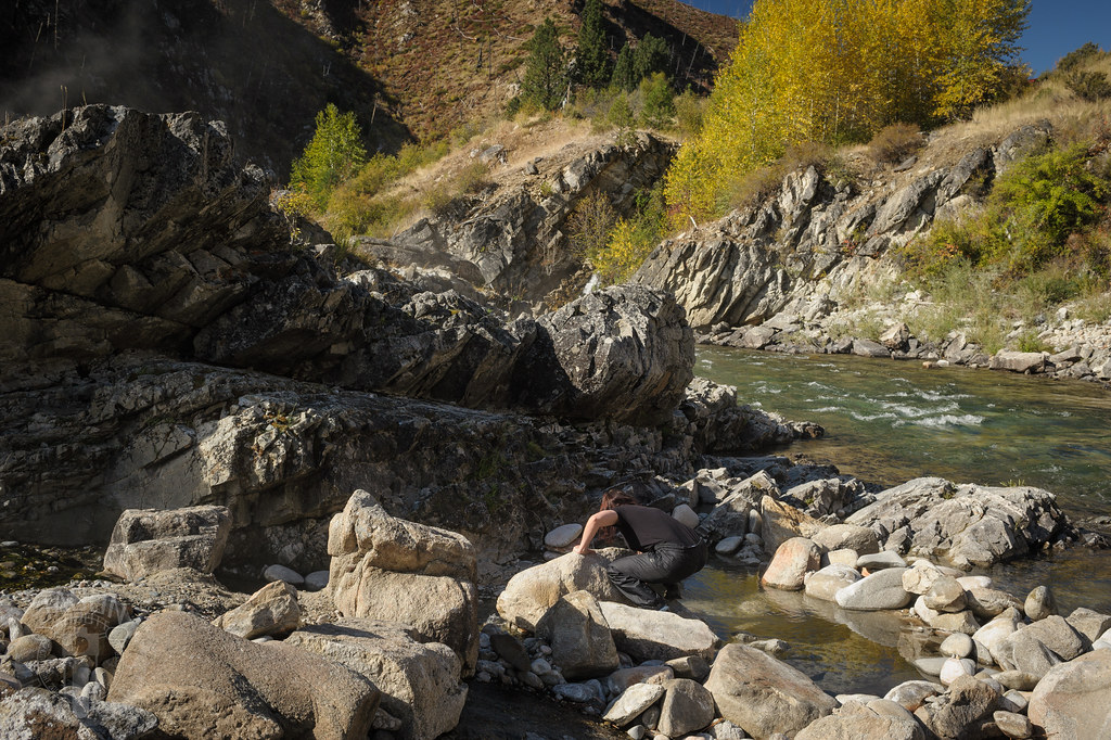
Related Photos:

room with a view

Over the Middle Fork of the Payette
full moon @ 2 am

girl on a hill
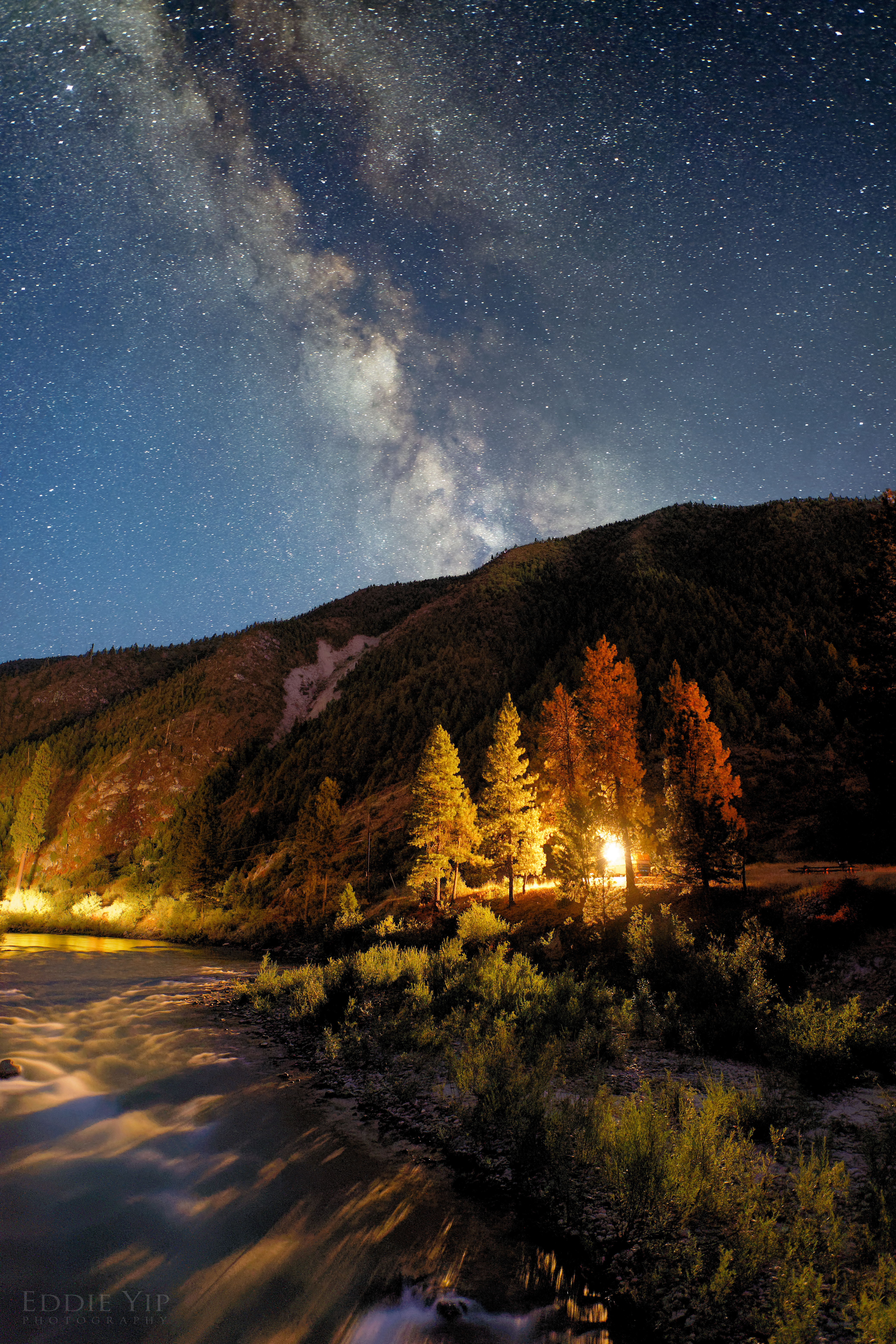
Night Campfire

Steamy surreality
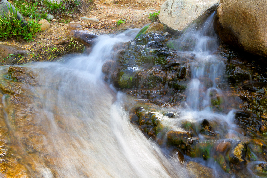
Speedy waterfall
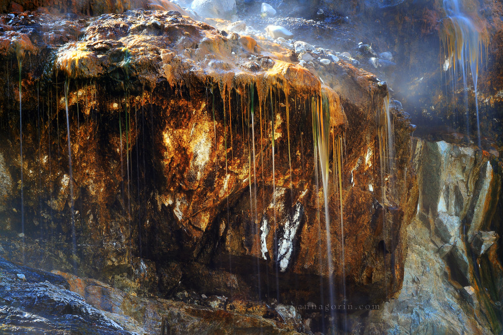
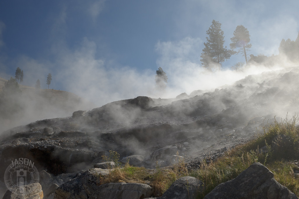
Steaming things up
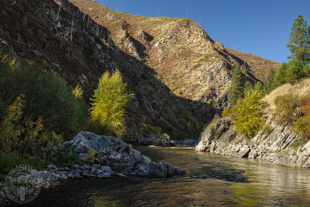
Autumn reflections
Idaho Bike Trip 152
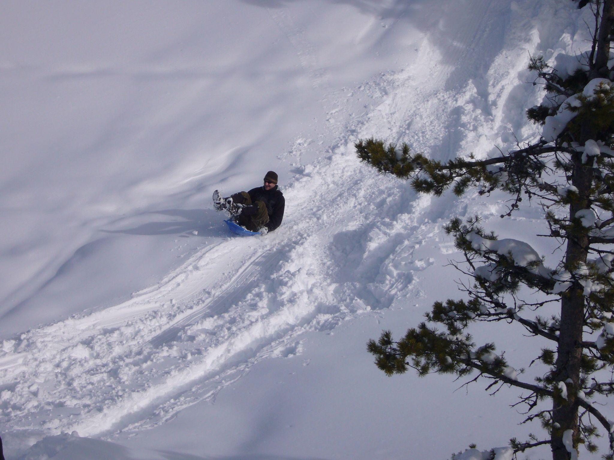
Peter Sledding
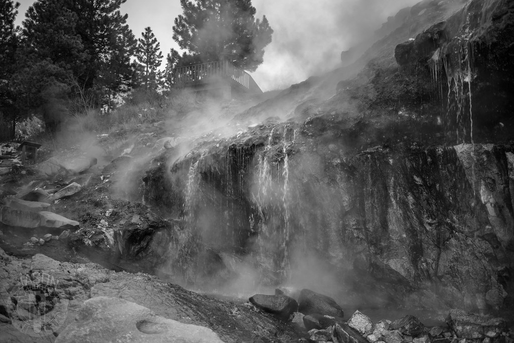
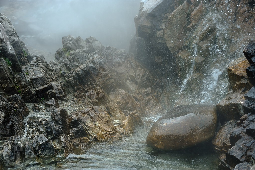
Beneath the steam
Steam bath
Idaho Bike Trip 129
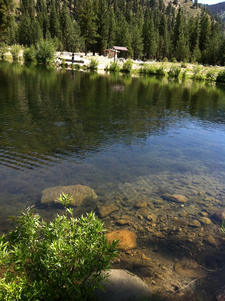
Loweman Pond - 2012
Round peg
The Descent
Loweman Pond - 2012

Old flames
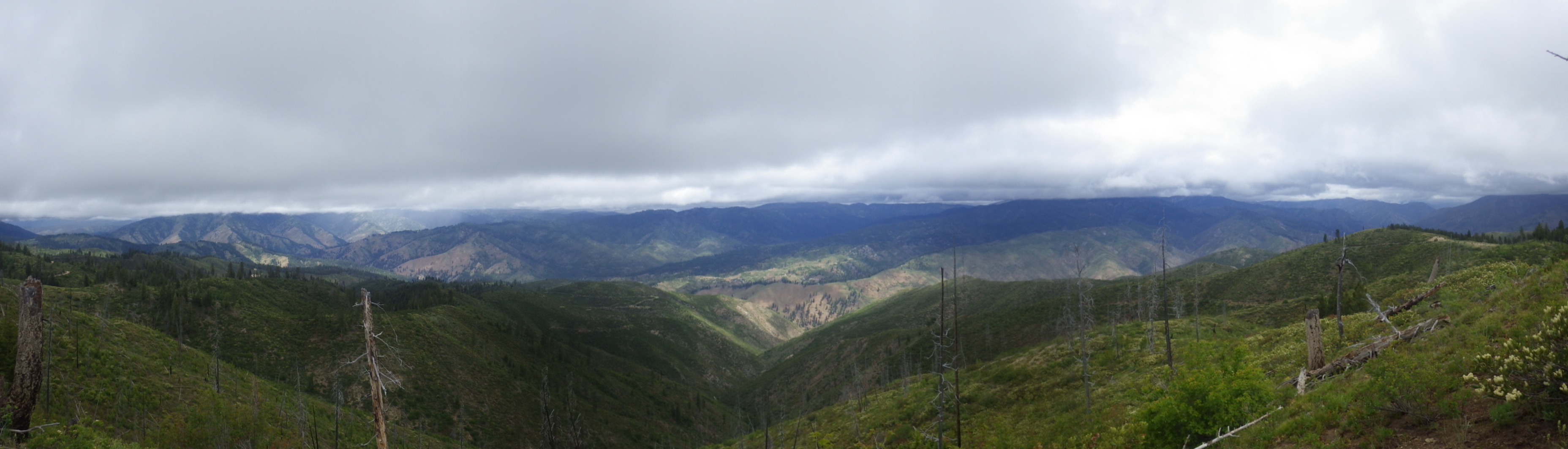
jennie-lake-stitch

Crooked River tributary
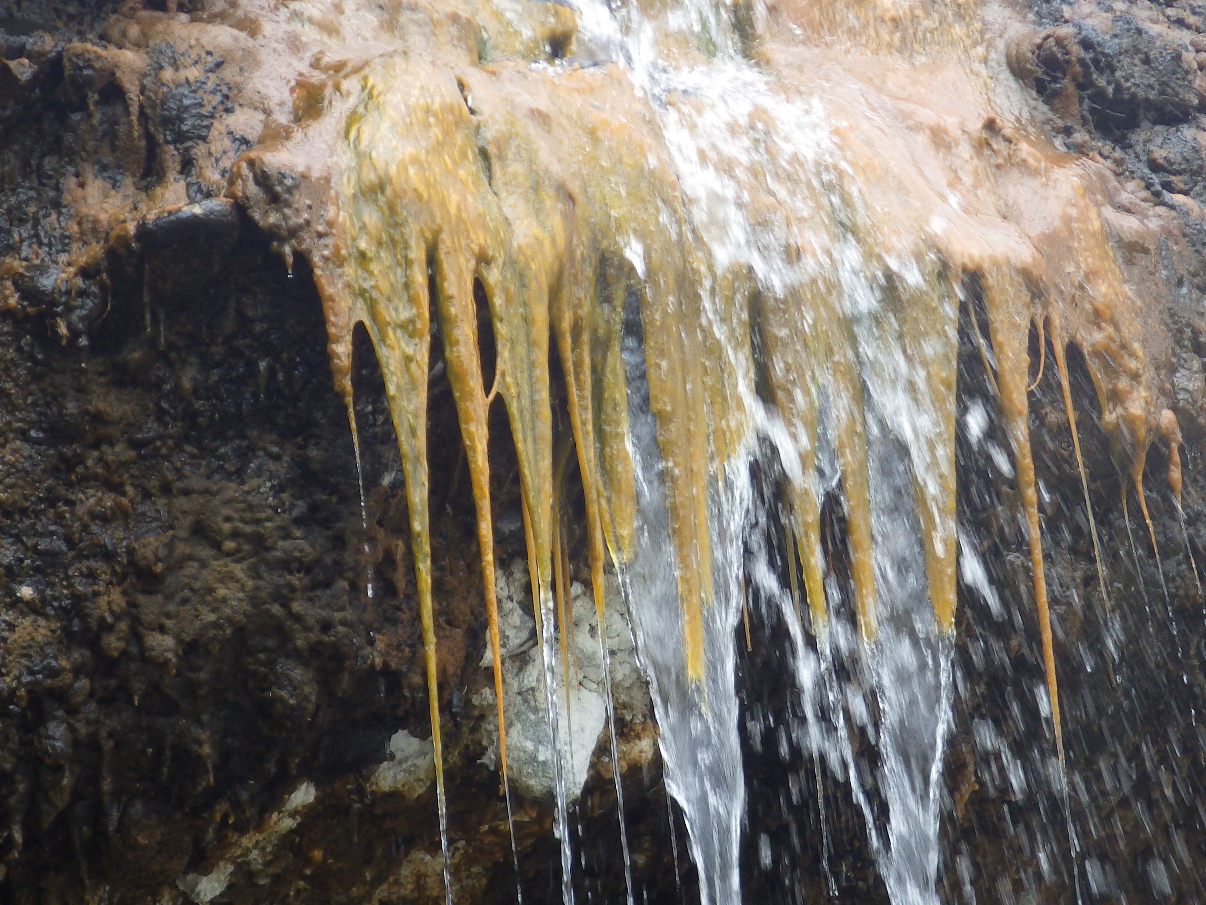
Temperature check

Bath house
Topographic Map of ID-21, Lowman, ID, USA
Find elevation by address:

Places near ID-21, Lowman, ID, USA:
Sourdough Lodge
15 Lewis Dr
3 Hida Way
25 7 Peaks Rd
Archie Creek Road
Kirkham Campground
Wolf Mountain
Lowman
Shephard Peak
Pine Flats Campground
Fh 376
Bad Bear Campground
ID-21, Idaho City, ID, USA
Poker Meadows Campground
Banks Lowman Rd, Garden Valley, ID, USA
Pioneerville
Boise County
Trinity Ridge Road
Grimes Creek
Idaho City
Recent Searches:
- Elevation of Corso Fratelli Cairoli, 35, Macerata MC, Italy
- Elevation of Tallevast Rd, Sarasota, FL, USA
- Elevation of 4th St E, Sonoma, CA, USA
- Elevation of Black Hollow Rd, Pennsdale, PA, USA
- Elevation of Oakland Ave, Williamsport, PA, USA
- Elevation of Pedrógão Grande, Portugal
- Elevation of Klee Dr, Martinsburg, WV, USA
- Elevation of Via Roma, Pieranica CR, Italy
- Elevation of Tavkvetili Mountain, Georgia
- Elevation of Hartfords Bluff Cir, Mt Pleasant, SC, USA