Elevation of Fh, Forest Rd, Atlanta, ID, USA
Location: United States > Idaho > Elmore County > Atlanta >
Longitude: -115.52131
Latitude: 43.7995328
Elevation: 1618m / 5308feet
Barometric Pressure: 83KPa
Elevation Map:
Satellite Map:
Related Photos:
Loftus Natural Hot Spring

Loftus Natural Hot Spring

Loftus Natural Hot Spring

Weighted down

Rise and shine

Run for cover

Big wind

Surrounded by smoke

Dead and dying

Alexander Flat

Practice makes perfect

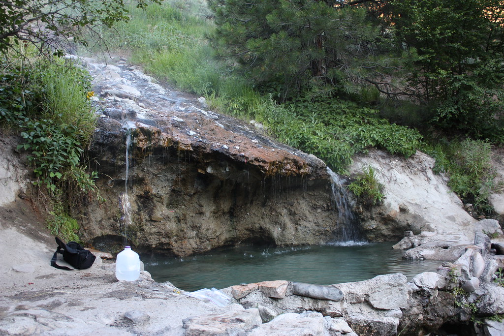
Gathering water

Less than 50

Good Samaritan

Left behind

Trinity Ridge

Short Creek trailhead

Catching some breath

Roaring River Road

Distant mountains

Do not adjust your set
Topographic Map of Fh, Forest Rd, Atlanta, ID, USA
Find elevation by address:

Places near Fh, Forest Rd, Atlanta, ID, USA:
Trinity Ridge Road
Little Trinity Lake
ID-21, Idaho City, ID, USA
Bad Bear Campground
Wolf Mountain
Archie Creek Road
Shephard Peak
Kirkham Campground
15 Lewis Dr
Lowman
8260 Id-21
Pine Flats Campground
Idaho City
Trudy's Kitchen
Sourdough Lodge
3 Hida Way
25 7 Peaks Rd
74 Tamarack Rd
Grimes Creek
Pioneerville
Recent Searches:
- Elevation of Corso Fratelli Cairoli, 35, Macerata MC, Italy
- Elevation of Tallevast Rd, Sarasota, FL, USA
- Elevation of 4th St E, Sonoma, CA, USA
- Elevation of Black Hollow Rd, Pennsdale, PA, USA
- Elevation of Oakland Ave, Williamsport, PA, USA
- Elevation of Pedrógão Grande, Portugal
- Elevation of Klee Dr, Martinsburg, WV, USA
- Elevation of Via Roma, Pieranica CR, Italy
- Elevation of Tavkvetili Mountain, Georgia
- Elevation of Hartfords Bluff Cir, Mt Pleasant, SC, USA