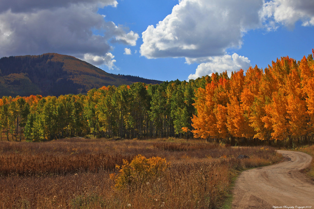
Elevation of Hwy E, Collbran, CO, USA
Location: United States > Colorado > Collbran >
Longitude: -107.84595
Latitude: 39.261344
Elevation: 2209m / 7247feet
Barometric Pressure: 77KPa
Elevation Map:
Satellite Map:
Related Photos:

Vega Milky Way up close

Western CO morning

cold and clear

Vega State Park

heading up 59 Road
I'll take the High Road

heading up 59 Road #6

_MG_5786.jpg

_MG_5727.jpg

_MG_5751.jpg

_MG_5691.jpg

Elk Country
Topographic Map of Hwy E, Collbran, CO, USA
Find elevation by address:

Places near Hwy E, Collbran, CO, USA:
63278 Hwy 330 E
61971 Hwy 330 E
Vega Reservoir
South Mamm Peak
Camp 7 - Camp & Conference Center
16563 58 6/10 Rd
Collbran
20271 58 6/10 Rd
70940 Hwy 330 E
57840 P E Rd
Baldridge Point
13737 57 Rd
Plateau Ridge
Elk Lake
Horse Mountain
Porter Mountain
55776 J E 3/10 Rd
Grand Mesa National Forest
J E 3/10 Road
Willow Ridge
Recent Searches:
- Elevation of Corso Fratelli Cairoli, 35, Macerata MC, Italy
- Elevation of Tallevast Rd, Sarasota, FL, USA
- Elevation of 4th St E, Sonoma, CA, USA
- Elevation of Black Hollow Rd, Pennsdale, PA, USA
- Elevation of Oakland Ave, Williamsport, PA, USA
- Elevation of Pedrógão Grande, Portugal
- Elevation of Klee Dr, Martinsburg, WV, USA
- Elevation of Via Roma, Pieranica CR, Italy
- Elevation of Tavkvetili Mountain, Georgia
- Elevation of Hartfords Bluff Cir, Mt Pleasant, SC, USA