Elevation of Hwy 9 E, Longs, SC, USA
Location: United States > South Carolina > Horry County > Longs >
Longitude: -78.725345
Latitude: 33.921684
Elevation: 8m / 26feet
Barometric Pressure: 101KPa
Elevation Map:
Satellite Map:
Related Photos:

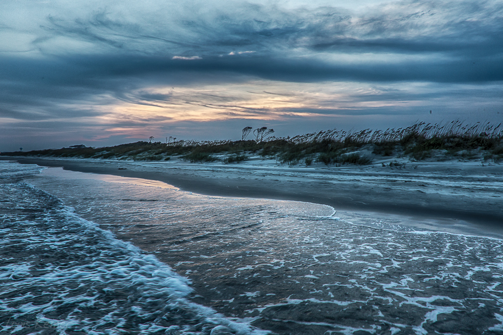
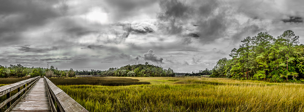
Day 901 - Sunset Over The Marsh
Morning at the Pier
LK_20120520_0028-sm
LK_20170408_0170_HDR-sm

Beach gallery-1
Cherry Grove Pier
LK_20140727_0101_HDR-sm
Coquina Harbor

"Super" moon on May 5, 2012
Shooting Waves (Flickr Explore October 14, 2014)
Looking North @NMB

The morning blues again...
LK_20131006_0072-74-sm

Ocean Drive Pavilion Amusement Park Ferris Wheel
D800E-1842

Cherry Grove Beach Sunrise
Early Morning Beach
LK_20120520_0142-Edit-sm

Ingram Beach

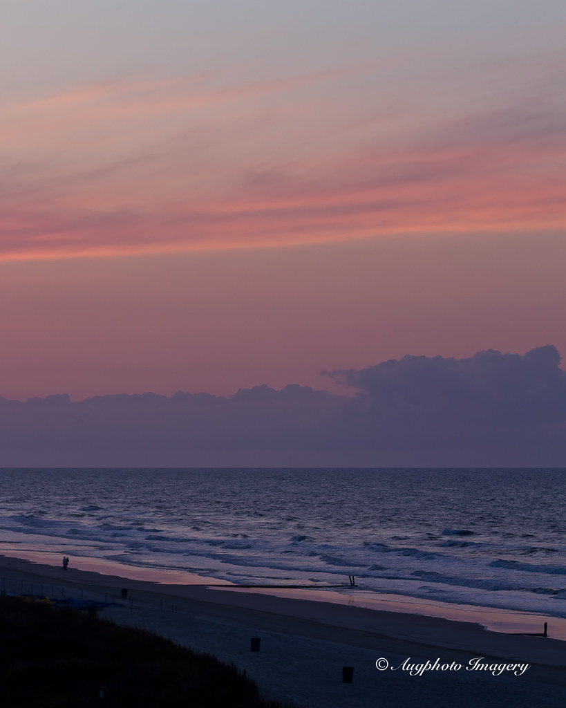
Sunrise - North Myrtle Beach
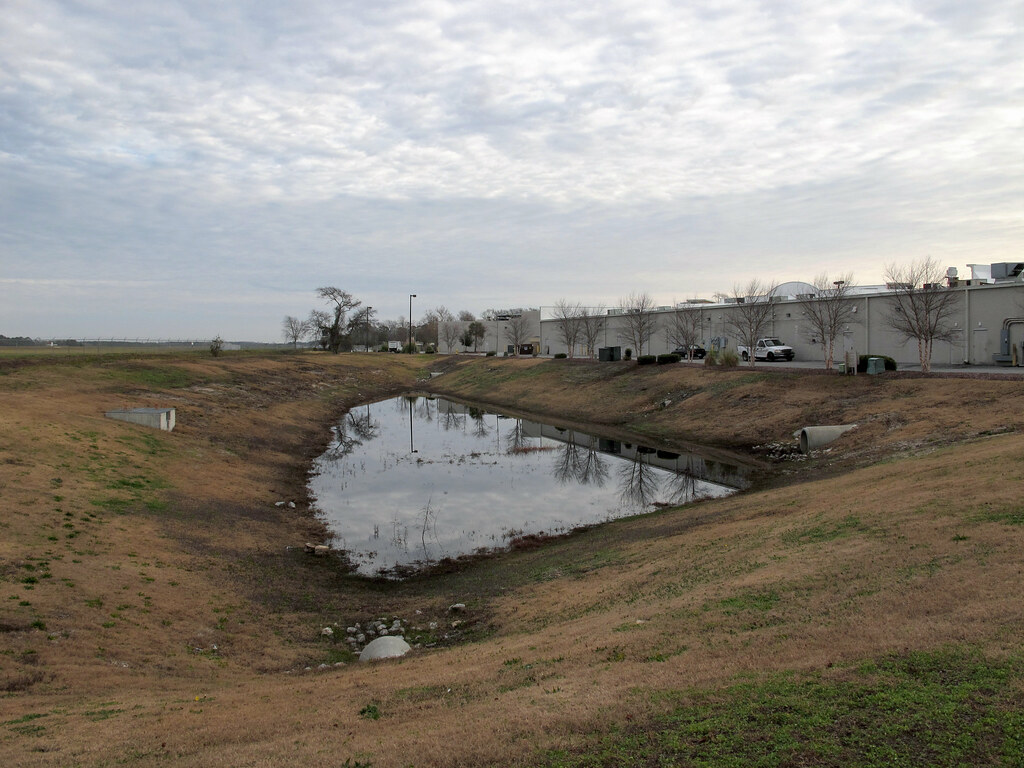
A stagnant pool of stinking water, nestled in a depression between a small general aviation airport and the backside of a stripmall in North Myrtle Beach.
Topographic Map of Hwy 9 E, Longs, SC, USA
Find elevation by address:

Places near Hwy 9 E, Longs, SC, USA:
490 Sc-9
Tupelo Lane
660 Tupelo Ln
684 Bucks Trail
773 Bucks Trail
791 Bucks Trail
1123 Sc-9
Chris Anderson Landing
1346 Sc-9
1112 Hwy 9 E
1410 Sc-9
Cypress Tree Loop
1250 Sc-9
1744 Riverhaven Dr
1500 Sc-9
Shad Row
1462 Bluegil Dr
1465 Goggle Eye Dr
1625 Langley Dr
1700 Fairway Dr
Recent Searches:
- Elevation of Corso Fratelli Cairoli, 35, Macerata MC, Italy
- Elevation of Tallevast Rd, Sarasota, FL, USA
- Elevation of 4th St E, Sonoma, CA, USA
- Elevation of Black Hollow Rd, Pennsdale, PA, USA
- Elevation of Oakland Ave, Williamsport, PA, USA
- Elevation of Pedrógão Grande, Portugal
- Elevation of Klee Dr, Martinsburg, WV, USA
- Elevation of Via Roma, Pieranica CR, Italy
- Elevation of Tavkvetili Mountain, Georgia
- Elevation of Hartfords Bluff Cir, Mt Pleasant, SC, USA