Elevation of Bucks Trail, Longs, SC, USA

Location: United States > South Carolina > Horry County > Longs >

Longitude: -78.721476

Latitude: 33.9257739

Elevation: 9m / 30feet

Barometric Pressure: 101KPa

Elevation Map:

elevation map of Bucks Trail, Longs, SC, USA

Satellite Map:

Satellite map of Bucks Trail, Longs, SC, USA

Related Photos:

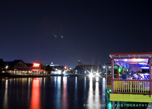
longexposure southcarolina hale kamote northmyrtlebeach canoneos400d canonrebelxti kamoteus2003 kamoteus burabog ronmiguelrn thedayyousaidgoodnight
bare foot landing @ night... the boardwalk ;-)
explore frontpage
Day 1239 - Wilson (Seriously People, No More Pictures Of The Dog For A While, It's Getting Ridiculous)
foc mmv myrtlebeach southcarolina travel northbeachplantation
I Have a Better View
sunrise cherrygrovepier canonef28mmf18
Beach gallery-1
car vintage frank cadillac 1958 szekely frankszekely
'Christine-ish'
Looking North @NMB
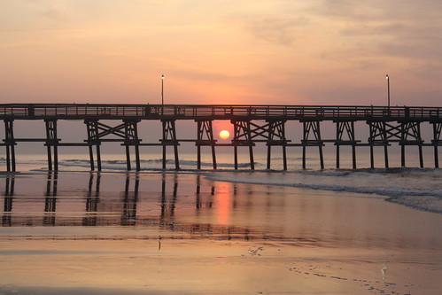
sunrise day cloudy southcarolina favorites beaches 500views sunrises atlanticocean 2009 blueribbonwinner cherrygrovebeach 5favorites canonxsi
Sunrise through the piers
ocean longexposure beach stars star trails myrtle startrails northmyrtlebeach nikond90 nikon1685vr
Myrtle Beach star trails
2008 vacation beaches atlanticocean cherrygrovebeach sunrises southcarolina favorites 5favorites 500views 1000views
South Carolina Sunrise
frank cadillac 1958 szekely frankszekely
Grrr!
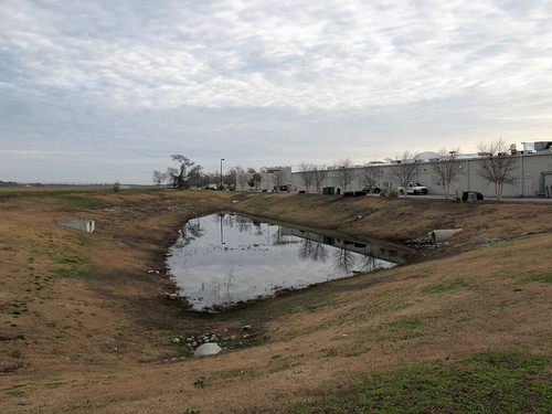
southcarolina northmyrtlebeachsouthcarolina northmyrtlebeach horrycountysouthcarolina horrycounty myrtlebeachmetropolitanarea grandstrand northeasternsouthcarolina northeastsouthcarolina 20121231 newyearseve december2012 december 2012 windyhillbeach windyhillbeachneighborhood windyhill windyhillneighborhood barefootcommons barefootcommonsshoppingcenter barefootcommonsstripmall stripmall shoppingcenter backsideofstripmall backsideofshoppingcenter grandstrandairport view landscape southcarolinalandscape northmyrtlebeachlandscape pond drainagepond retentionpond retentionbasin stagnantwater standingwater drainagepipes stormwaterretention stormwaterrunoff endorheicbasin manmadeendorheicbasin lightpole grass mowedgrass mowed browngrass overcast concretepipes stormwaterpipes stagnantpond stagnantpool img4650v2
A stagnant pool of stinking water, nestled in a depression between a small general aviation airport and the backside of a stripmall in North Myrtle Beach.
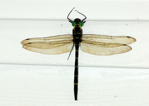
dragonfly southcarolina cruiser longs horrycounty macromia rivercruiser royalrivercruiser macromiataeniolata
Royal River Cruiser (Macromia taeniolata), Dorsal View
sunrise myrtletrips
Sunrise in Myrtle Beach
2008 vacation beaches atlanticocean cherrygrovebeach sunrises southcarolina favorites beautysecret 5favorites 500views 1000views 10favorites galleried 1500views 2000views 2500views 3000views 15favorites
Sunrise at Cherry Grove Beach, SC
travel usa ontario canada bird pembroke photography myrtlebeach us spring unitedstates bokeh wildlife southcarolina telephoto fullframe petawawa bluemacaw 2016 northmyrtlebeach photodujour alligatoradventure canoneos6d thousandwordimages dustinabbott dustinabbottnet adobephotoshopcc canonef100400mmf4556lisusmii adobelightroomcc alienskinexposurex
The Blue Macaw
NMB Silver & Blue
square squareformat clarendon iphoneography instagramapp uploaded:by=instagram
Missing This View #vsco #vscocam #igers #vscogram #instamood #instagood #lookingup #instagram #instadaily #instagramhub #vscogrid #vscophile
square squareformat iphoneography instagramapp xproii uploaded:by=instagram foursquare:venue=4c42264c3735be9a889319a4
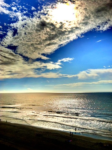
View from the (almost) top
morning travel beach sc water sunrise landscape dawn early sand view bright tide southcarolina rise tidal wyndham northmyrtlebeach 20150606myrtlebeachdawn
2015-06-06 Myrtle Beach Dawn_0003a
family baby beach myrtlebeach nikon nikkor50mm d80 beginnerdigitalphotographychallengewinner storybookwinner
Beach Baby
crescent pier hotel ocean waves house south beach 1966 myrtle wave water tower surf sand motel people atlantic
Looking north along the coast from the pier at Windy Hill Beach