Elevation of Hwy 17, Iron Bridge, ON P0R, Canada

Location: Canada > Ontario > Algoma District > Huron Shores > Iron Bridge >

Longitude: -83.231224

Latitude: 46.2785719

Elevation: 190m / 623feet

Barometric Pressure: 99KPa

Elevation Map:

elevation map of Hwy 17, Iron Bridge, ON P0R, Canada

Satellite Map:

Satellite map of Hwy 17, Iron Bridge, ON P0R, Canada

Related Photos:

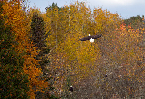
autumn fall leaves colours soaring birdofprey baldeagles mississagiriverironbridgeontariocanada
Oh to be an eagle!
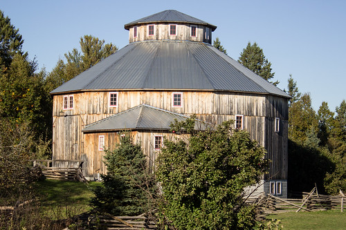
barn architecture historic canada ontario northern algoma
12-Sided Barn, Sowerby, District of Algoma, Ontario, Canada
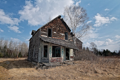
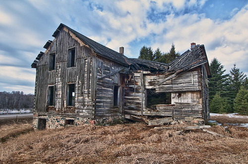
ontario abandoned rural graffiti spring ruins decay sunny ironbridge oldhouse toad vandalism highway17 northernontario hwy17 oldmineroad 23137 mississagiriver TGAM:photodesk=spring2012 tgamspring TGAM:photodesk=abandoned2012
abandoned house 'old mine road', iron bridge, ontario
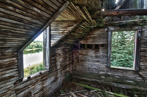
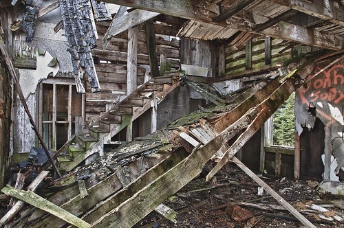
wood ontario rot window rural ruins decay interior ironbridge oldhouse toad collapse mould highway17 lathe northernontario 1870 lath 2ndfloor hwy17 dormerwindow 23136 hdr3 mississagiriver thompsontownship huronshores daiglehouse
bedroom, daigle house, iron bridge, ontario
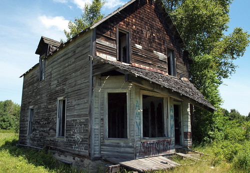
ontario abandoned rural spring timber decay ironbridge oldhouse toad collapse vandalism hdr highway17 northernontario hwy17 23136 mississagiriver daiglehouse
the daigle house (circa 1870), iron bridge, ontario
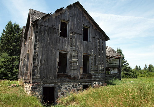
ontario abandoned kitchen rural spring timber decay ironbridge oldhouse toad collapse vandalism hdr highway17 northernontario hwy17 23136 mississagiriver daiglehouse
'the kitchen', daigle house (circa 1870), iron bridge, ontario
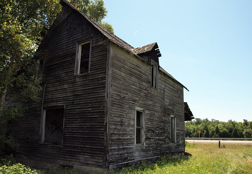
old bridge house lake ontario canada abandoned river highway iron blind district north nation first down falling shore 17 trans northern mississauga shores huron township algoma mississagi
View from southwest
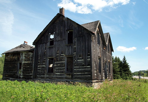
old bridge house lake ontario canada abandoned river highway iron blind district north nation first down falling shore 17 trans northern mississauga shores huron township algoma mississagi
View from East
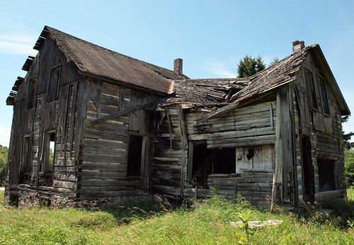
old bridge house lake ontario canada abandoned river highway iron blind district north nation first down falling shore 17 trans northern mississauga shores huron township algoma mississagi
Rear view from northwest
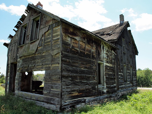
old bridge house lake ontario canada abandoned river highway iron blind district north nation first down falling shore 17 trans northern mississauga shores huron township algoma mississagi
View from West
old bridge house lake ontario canada abandoned river highway iron blind district north nation first down falling shore 17 trans northern mississauga shores huron township algoma mississagi
View from Northeast
old bridge house lake ontario canada abandoned river highway iron blind district north nation first down falling shore 17 trans northern mississauga shores huron township algoma mississagi
View from Northwest
old bridge house lake ontario canada abandoned river highway iron blind district north nation first down falling shore 17 trans northern mississauga shores huron township algoma mississagi
View from southeast
trees lake evening shadows
View over Warnock Lake
lake clif
View from Bluff
autumn cliff view
bluff lookout
06ndsoftgrad basswoodlake canada cascade detailextractor fujixt1 gnd2s harriscreek highway17 hoyandx8 lakehuron leeseven5 neutraldensityfilter nikcolorefex northernontario roadtrip shadows spring sunlight water waterfall whitewater xf14mm
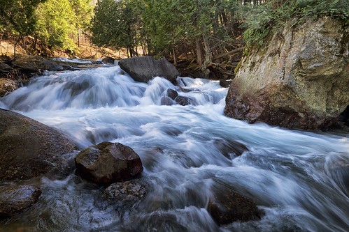
harris creek
winter snow ontario color rural fire ruins decay ironbridge foundation oldhouse burnt charcoal toad vandalism destroyed cellar rubble highway17 northernontario fieldstone circa1870 23136 mississagiriver thompsontownship huronshores glamourglow brilliancewarmth detailextractor daiglehouse
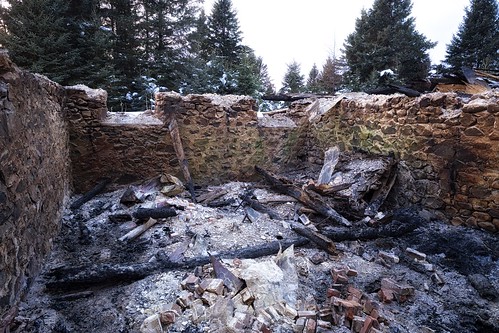
remains of the daigle house, iron bridge, ontario
ontario canada historicbridge trussbridge canadianbridge throughtruss thrutruss mississagiriver huronshores deanlakebridge prattthroughtruss algomasteelbridgecompany
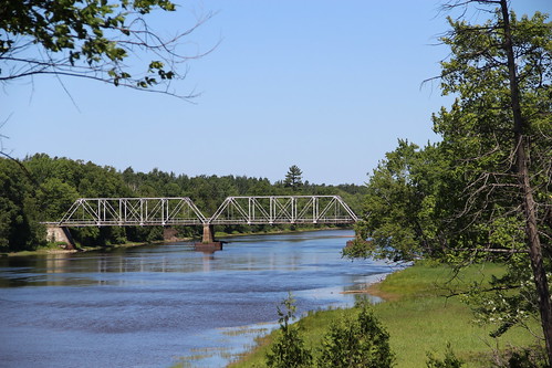
Dean Lake Bridge
forest cabin woods hansel gretel
Gingerbread House
autumn light forest evening
Shorter Days
elephant tree porcupine
Tree imagination
algoma barren circularpolarizer cirrusclouds clouds desert dirt dunes dusk evening footprints glow gravelpit ironbridge pattern ripples sand saultstemarie shadows sowerby steps texture tracks twilight wasteland waves
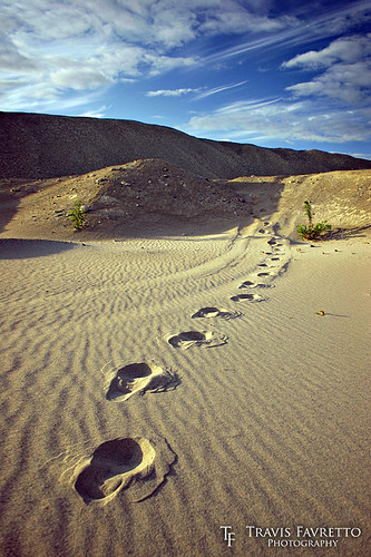
Footprints in the Sand
autumn light green forest evening moss long shadows
Late Autumn
autumn river dam channel causeway mississagi
thinkin this isn't the natural shoreline ;)
trees evening shadows
Warnock Lake
autumn river sand
Mississagi above the dam
Blind river
Blind river
water landscape landscapes squareformat northernontario uploaded:by=instagram
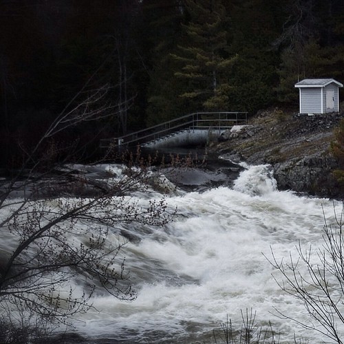
High water levels!
ontario landscape wolfhavensolutions
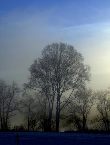
tree_-21Celcius
Chiblow Lake