Elevation of Plummer Rd, Bruce Mines, ON P0R 1C0, Canada
Location: Canada > Ontario > Algoma District > Plummer Additional >
Longitude: -83.744015
Latitude: 46.3629054
Elevation: 193m / 633feet
Barometric Pressure: 99KPa
Elevation Map:
Satellite Map:
Related Photos:

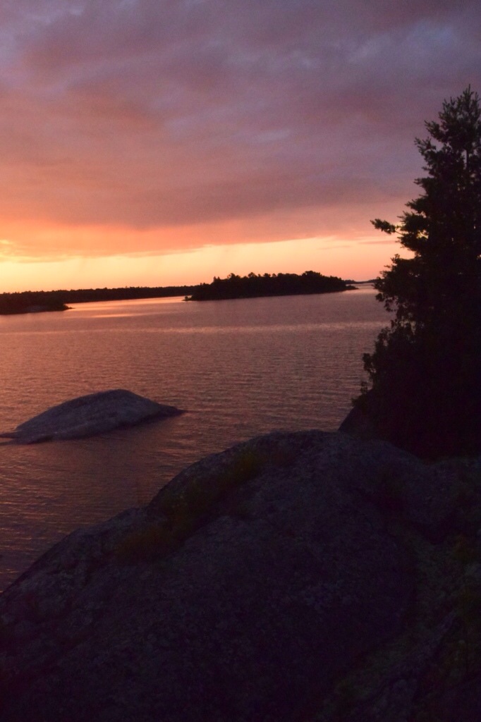
Venus Twilight

stobie creek, johnson township, ontario
calm water
north sunrise
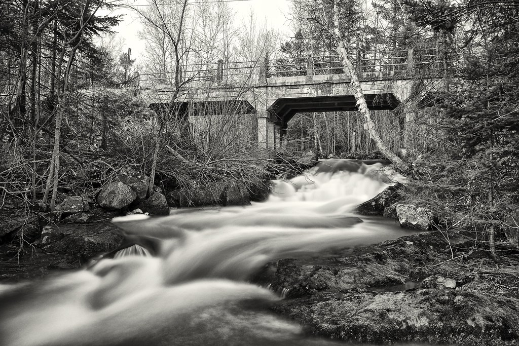
bridge, stobie creek, johnson township, ontario

Sandhill Cranes

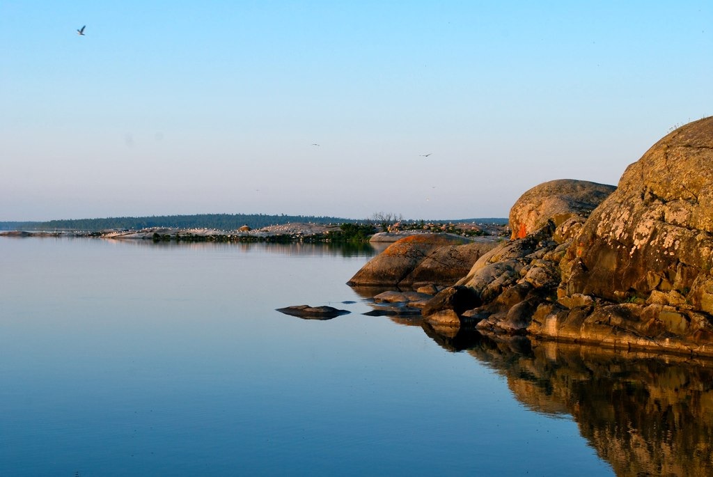
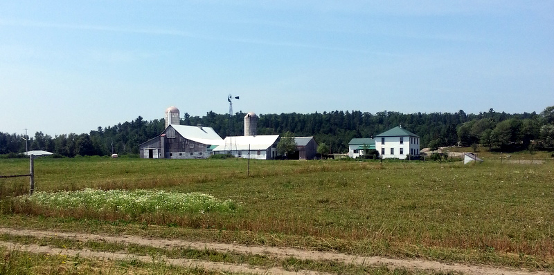
Bruce Mines, ON

1-20140720_123235
1-20140720_123324
1-20140720_123426
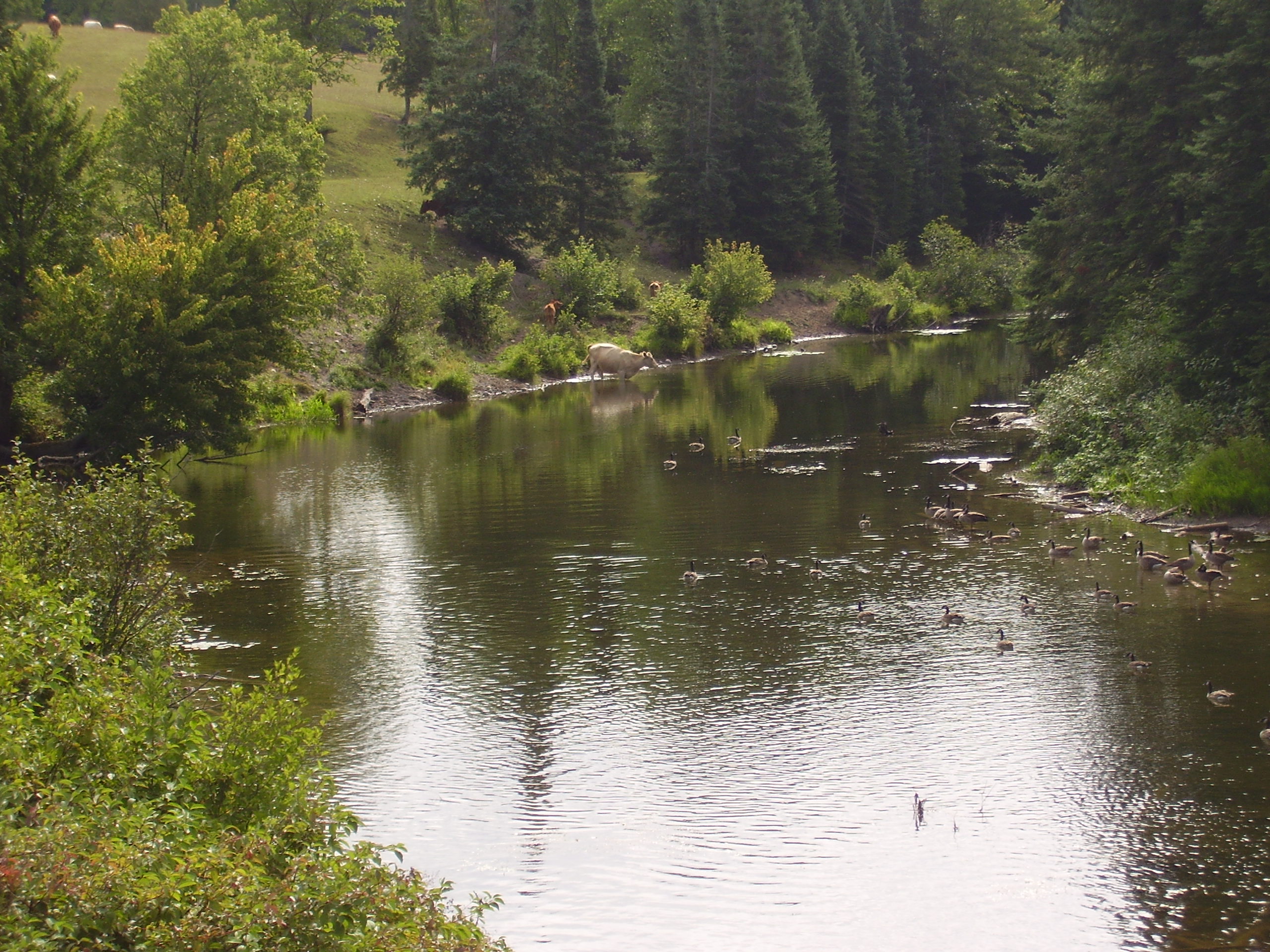
Cow in Thessalon River

104-0488_IMG
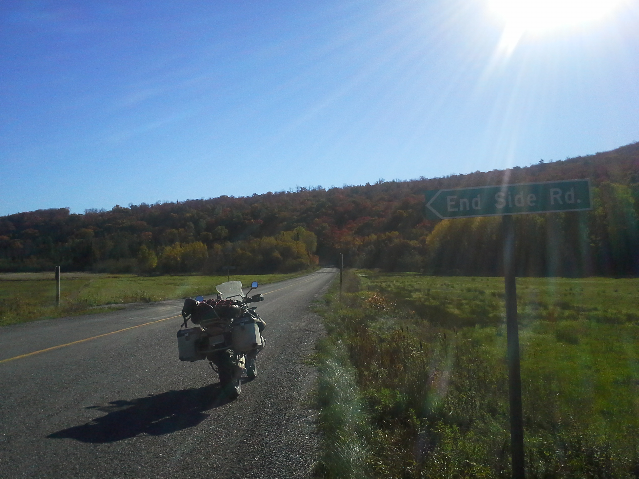
Algoma ADV Fall 2013, 638

104-0486_IMG
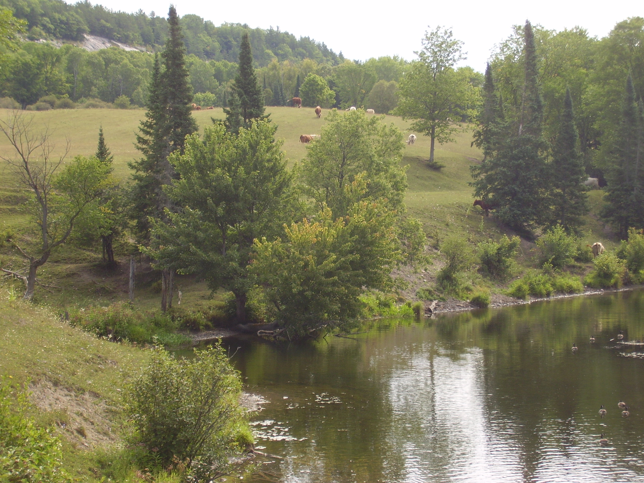
Thessalon River
104-0484_IMG
Topographic Map of Plummer Rd, Bruce Mines, ON P0R 1C0, Canada
Find elevation by address:

Places near Plummer Rd, Bruce Mines, ON P0R 1C0, Canada:
Plummer Additional
5 Main St, Bruce Mines, ON P0R 1C0, Canada
37 Waltonen Rd E, Bruce Mines, ON P0R 1C0, Canada
296 Waltonen Rd
16 Tarbutt St
Bruce Mines
Haefner Dr, Hilton Beach, ON P0R 1G0, Canada
Hilton Beach
Hilton Township
Lighthouse Point Drive
Thessalon
Garside Rd W, Hilton Beach, ON P0R 1G0, Canada
Richmond Bay Rd, Hilton Beach, ON P0R 1G0, Canada
St. Joseph Island
St. Joseph
MacLennan Rd, Desbarats, ON P0R 1E0, Canada
Jocelyn
5 Side Rd, Hilton Beach, ON P0R 1G0, Canada
P Line Rd, Hilton Beach, ON P0R 1G0, Canada
Richards St, Richards Landing, ON P0R 1J0, Canada
Recent Searches:
- Elevation of Corso Fratelli Cairoli, 35, Macerata MC, Italy
- Elevation of Tallevast Rd, Sarasota, FL, USA
- Elevation of 4th St E, Sonoma, CA, USA
- Elevation of Black Hollow Rd, Pennsdale, PA, USA
- Elevation of Oakland Ave, Williamsport, PA, USA
- Elevation of Pedrógão Grande, Portugal
- Elevation of Klee Dr, Martinsburg, WV, USA
- Elevation of Via Roma, Pieranica CR, Italy
- Elevation of Tavkvetili Mountain, Georgia
- Elevation of Hartfords Bluff Cir, Mt Pleasant, SC, USA