Elevation of Huxtable Rd, West Winfield, NY, USA
Location: United States > New York > Herkimer County > Columbia >
Longitude: -75.079136
Latitude: 42.904034
Elevation: 448m / 1470feet
Barometric Pressure: 96KPa
Elevation Map:
Satellite Map:
Related Photos:
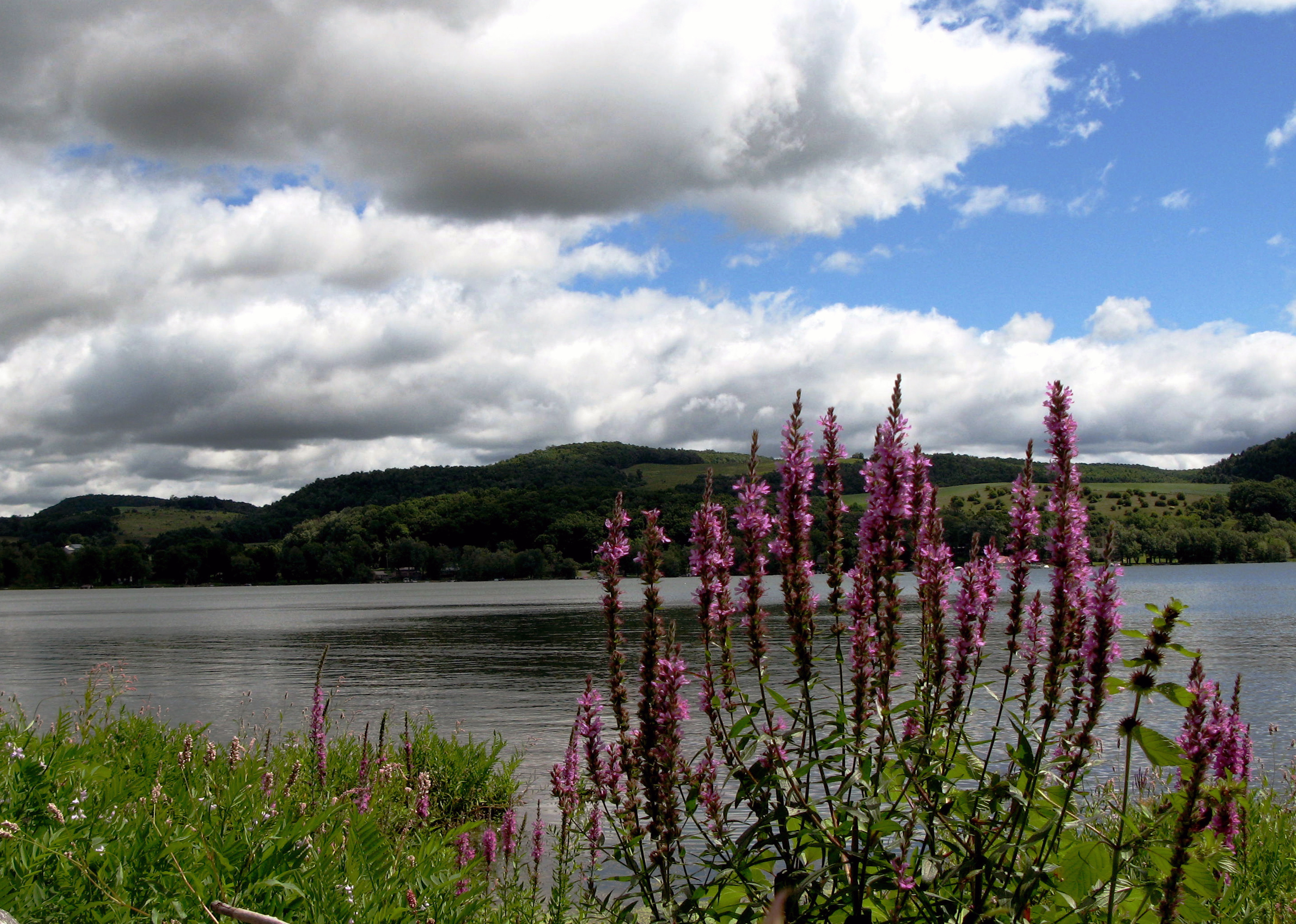
Lake Canadarago
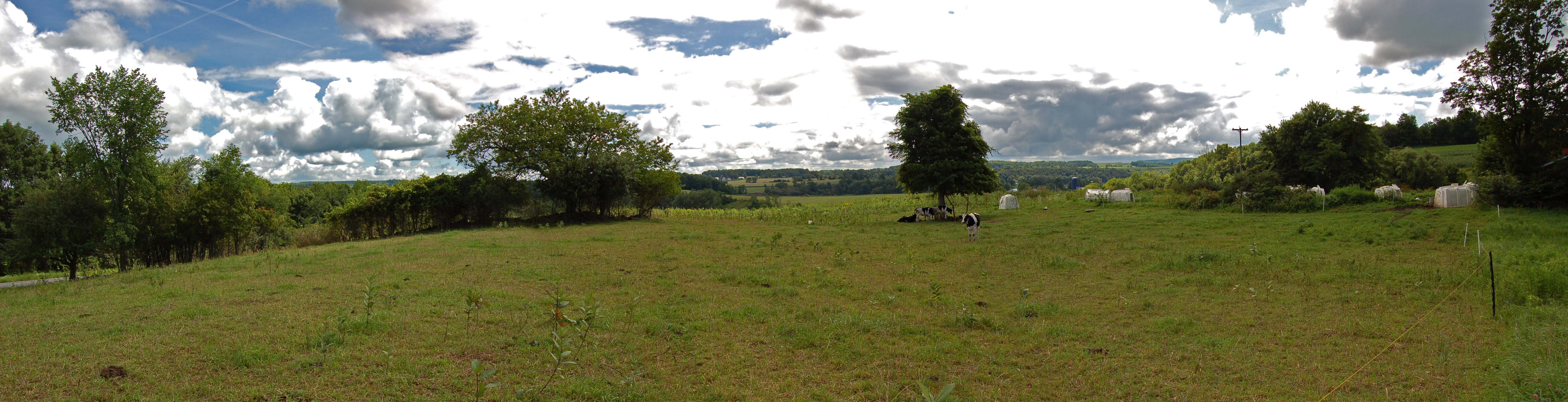
Farm Panorama
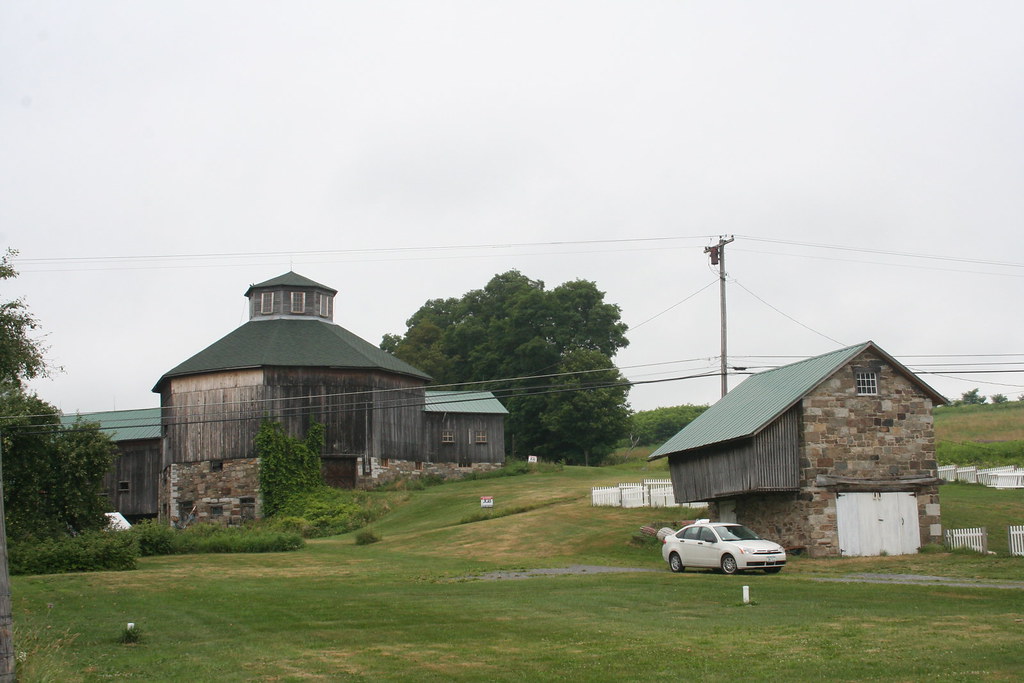
Baker Octagon Barn (added 1984 - - #84002887)
Abandoned D. L. & W. RR, Bridgewater, NY

Former D. L. & W. ROW
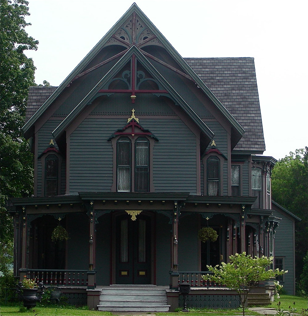
Queen Anne Victorian

Sunset Hill, 1923, by architect Dwight James Baum

Erie Canal gates

Side view. I took a look and saw a fairy so i will give her fairy ears.

Side view. Pointy nose big cheeks and mouth.
Wohleben House

Dead Lily

greenbelt 019

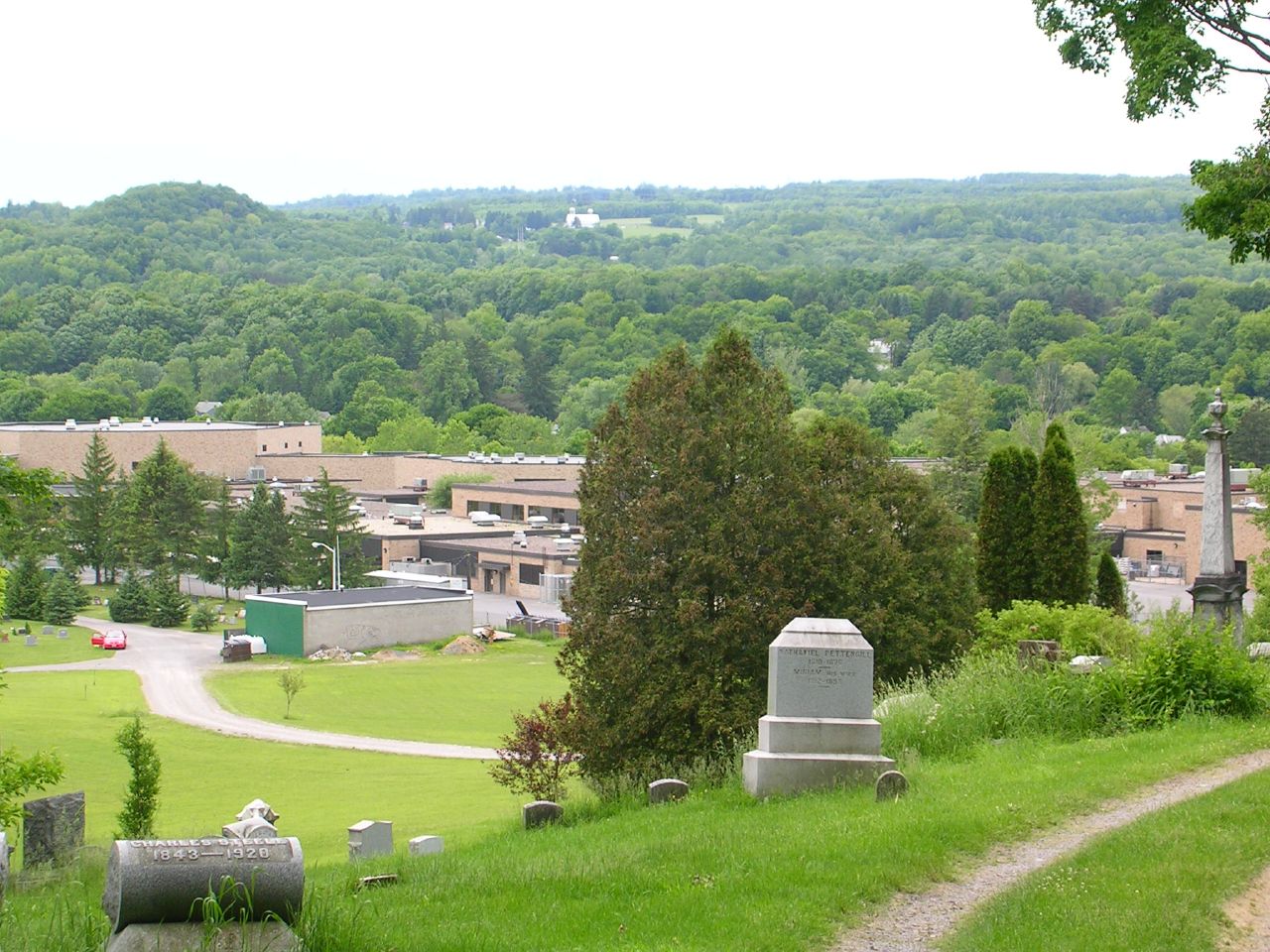
Ward's View, Herkimer Co., NY

Ward's View, Herkimer Co., NY

Ward's View, Herkimer Co., NY
Another glamorous hotel view...
Nikon 042
greenbelt 005
greenbelt 014

Nikon 041
looks like rain. . . .
Field Of Snow
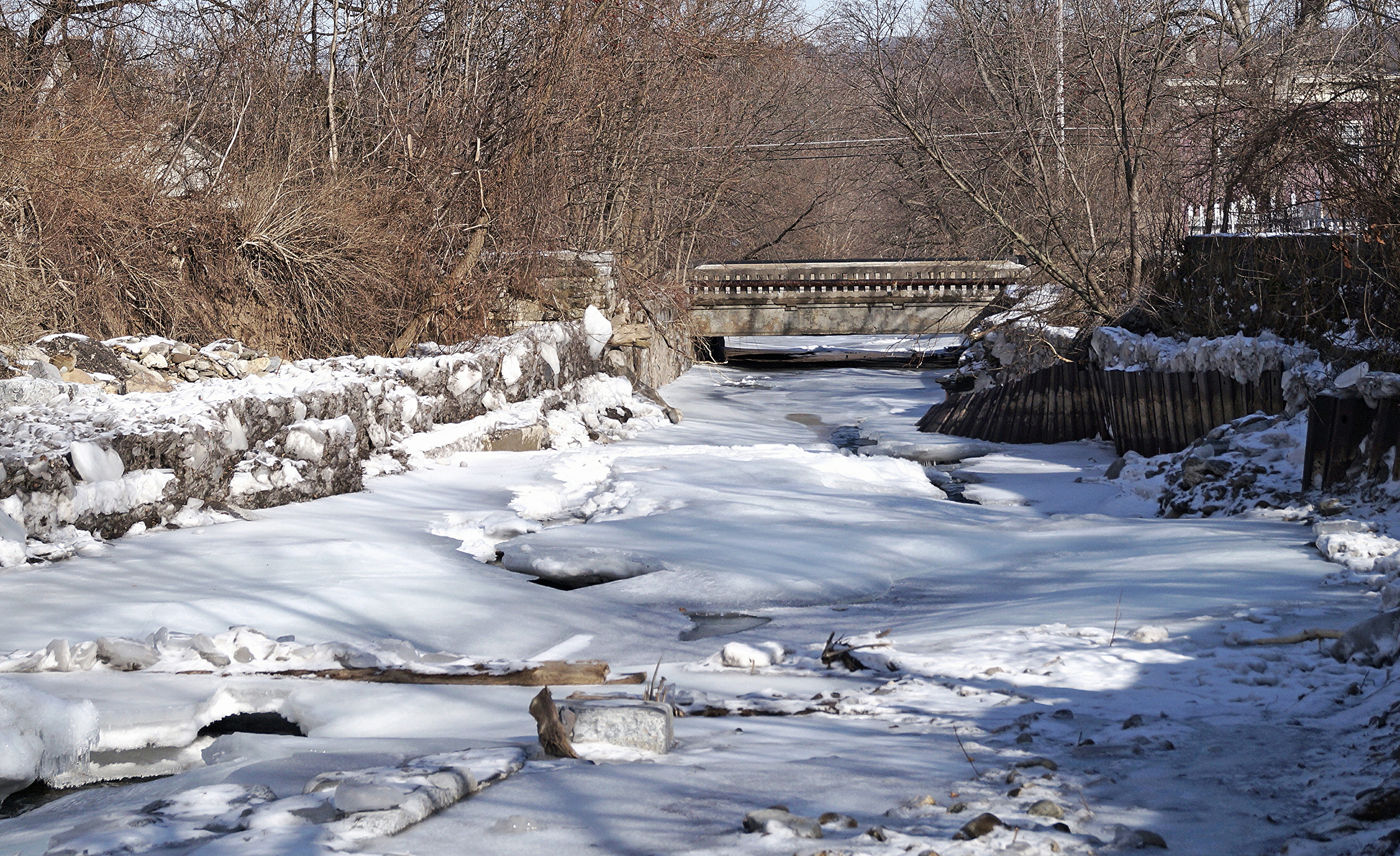
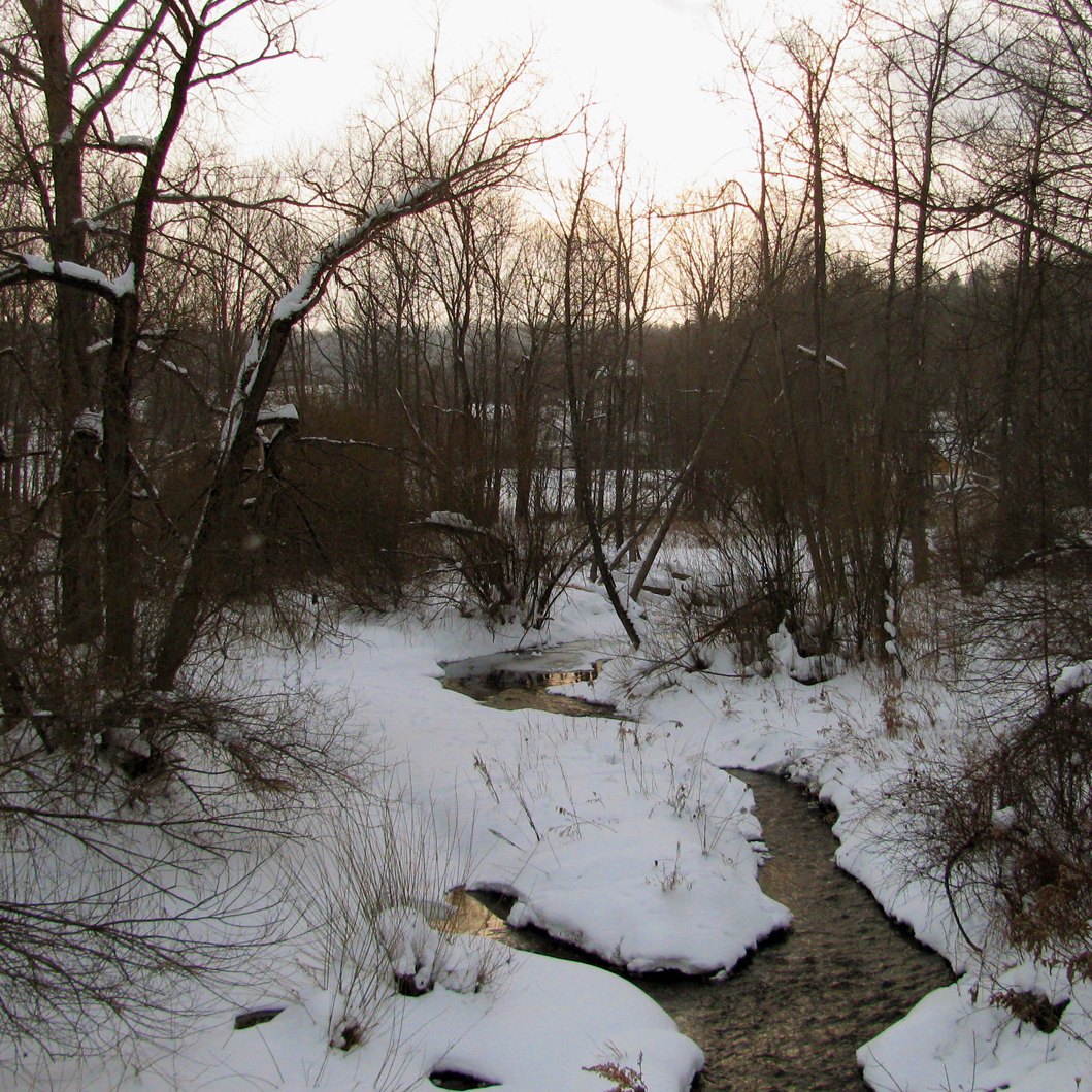
Frozen Moyer Creek
Chepatchet Pond
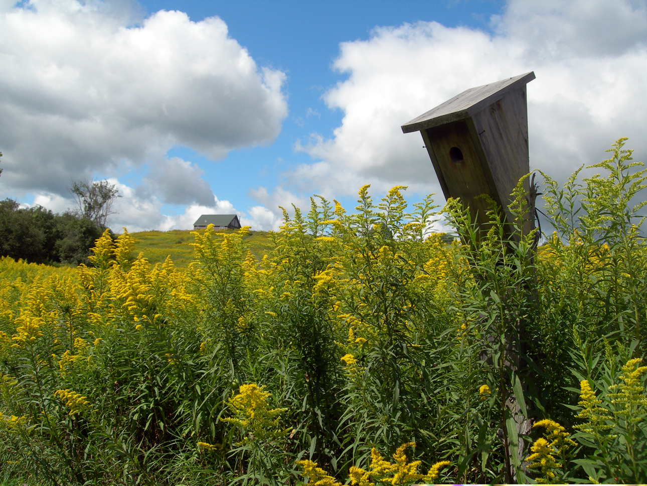
house.for the birds
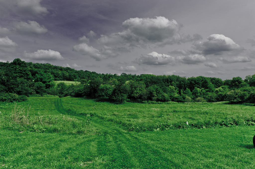
Field & Sky #1
Lallier-Walton Wedding-1

20150528-IMG_5140
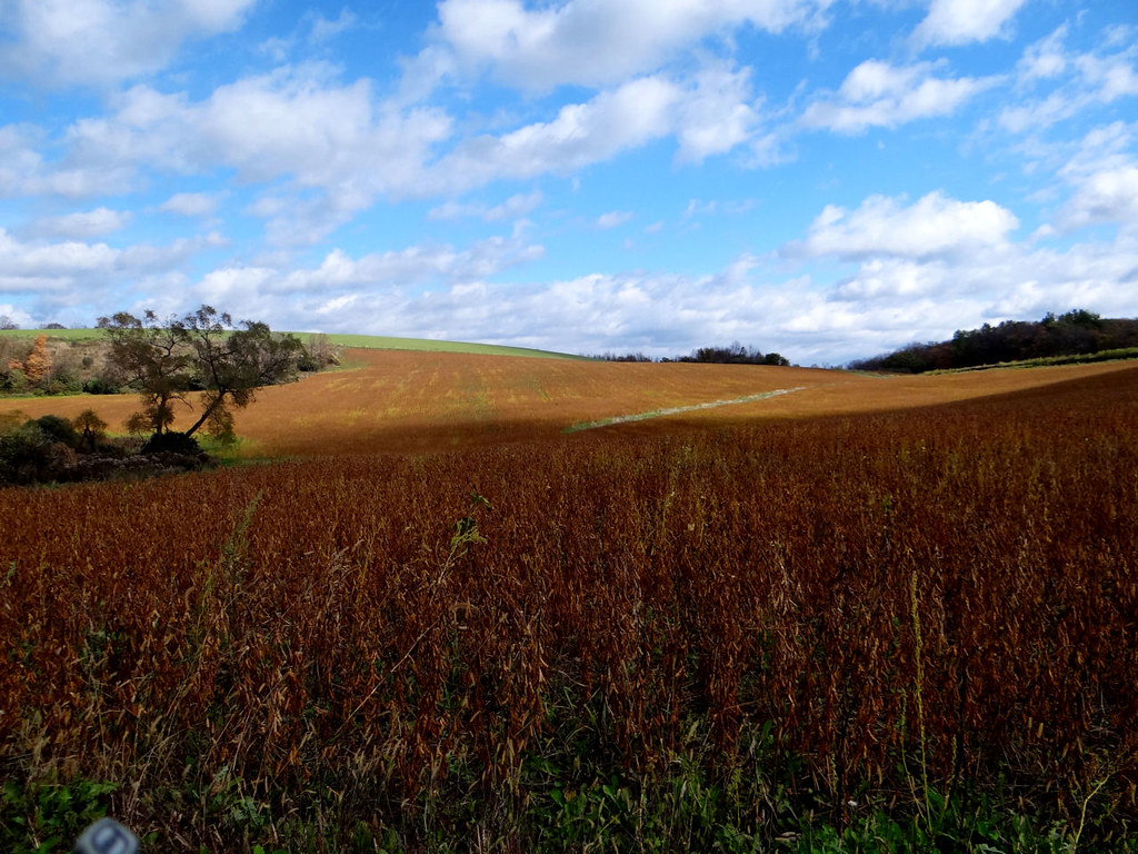
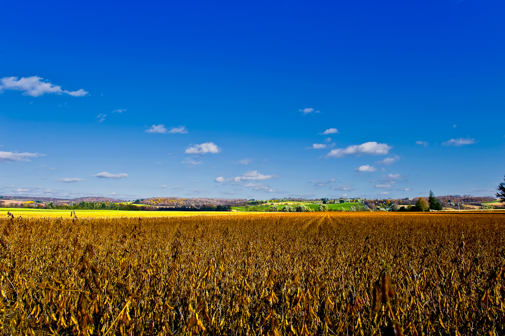
Lotta beans here.
old dog.fountain of youth
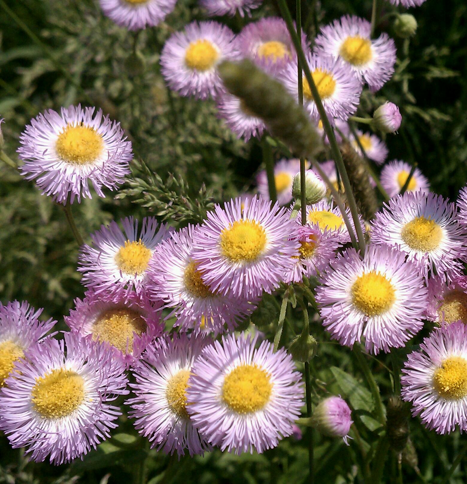
pink daisies
Frankfort Gorge
sun.on the water

Solo Cattle 1
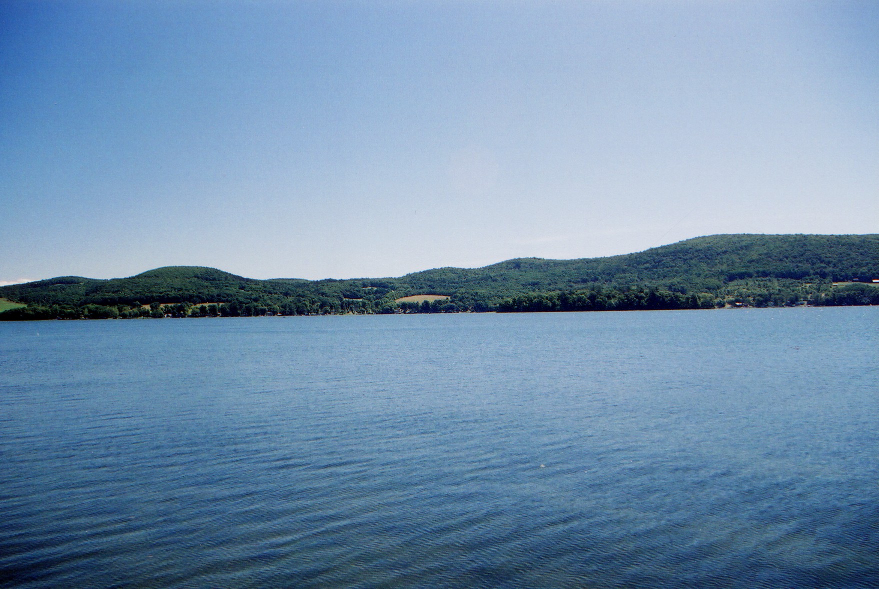
Canadarago Lake
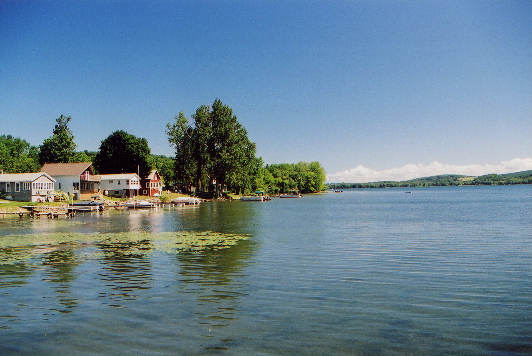
Canadarago Lake
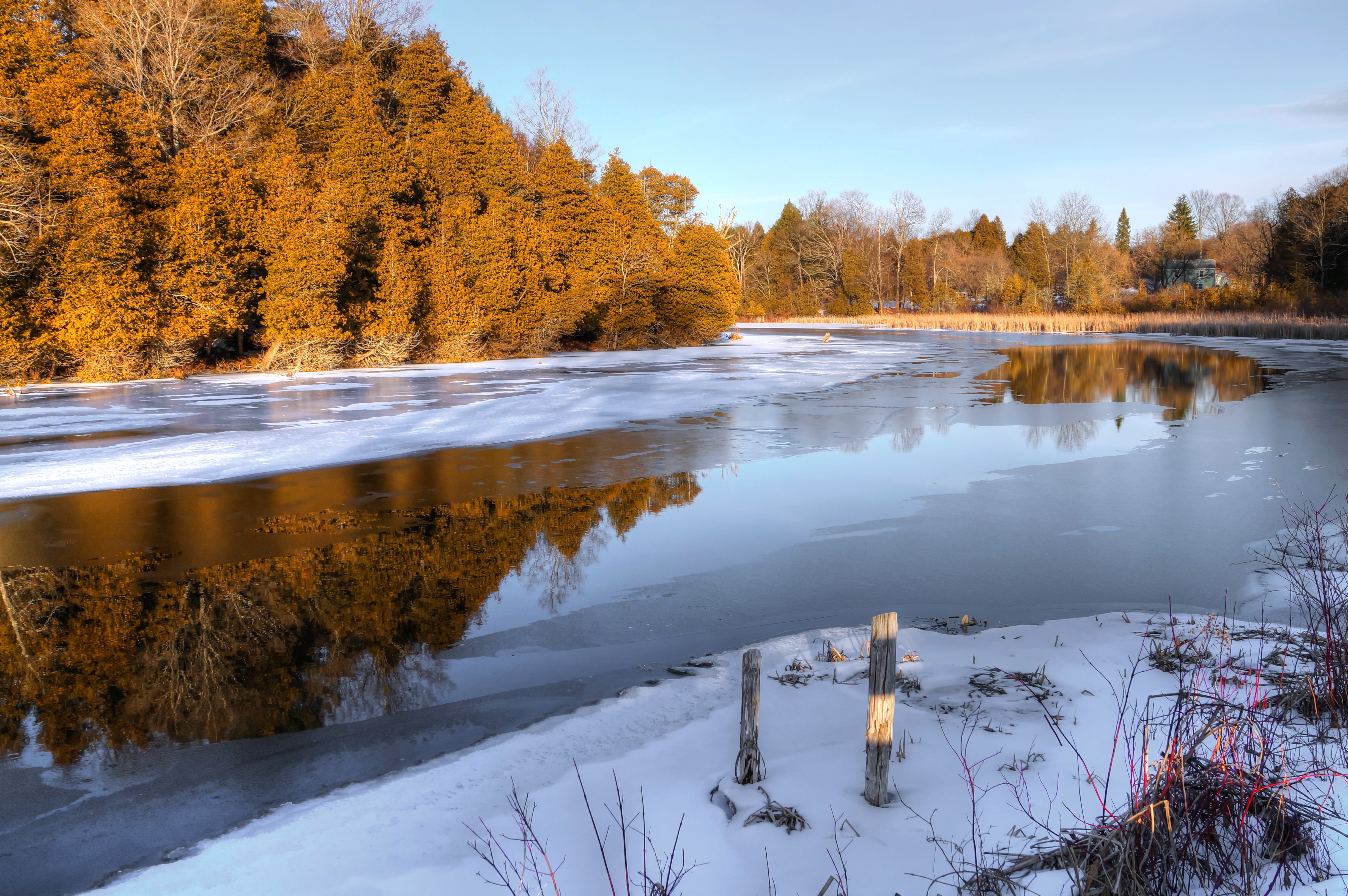
After The Thaw

The Gorge
West Shore Railroad Bridge, Ilion, NY
I want to believe

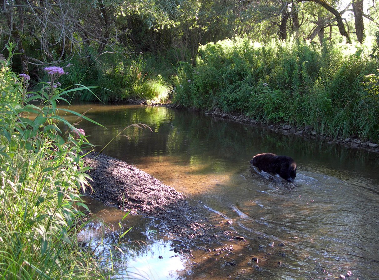
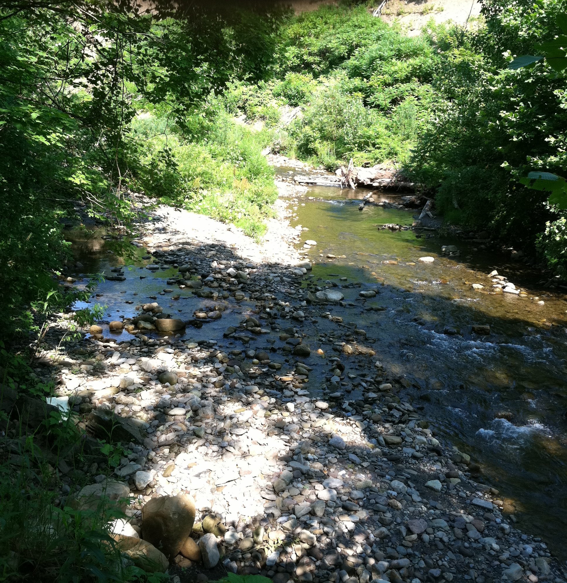
A Peaceful River
Topographic Map of Huxtable Rd, West Winfield, NY, USA
Find elevation by address:

Places near Huxtable Rd, West Winfield, NY, USA:
Gage Road
Columbia
1438 Jones Rd
1438 Jones Rd
Brewer Rd, Ilion, NY, USA
475 Brewer Rd
260 Hugick Rd
Brewer Rd, Ilion, NY, USA
121 Hugick Rd
Winfield
299 Meeting House Rd
1517 Barringer Rd
Spinnerville Gulf Rd N, Ilion, NY, USA
Litchfield
360 North St
Brand Street
Ilion
Mcgowan Road
362 E Main St
Rider Road
Recent Searches:
- Elevation of Corso Fratelli Cairoli, 35, Macerata MC, Italy
- Elevation of Tallevast Rd, Sarasota, FL, USA
- Elevation of 4th St E, Sonoma, CA, USA
- Elevation of Black Hollow Rd, Pennsdale, PA, USA
- Elevation of Oakland Ave, Williamsport, PA, USA
- Elevation of Pedrógão Grande, Portugal
- Elevation of Klee Dr, Martinsburg, WV, USA
- Elevation of Via Roma, Pieranica CR, Italy
- Elevation of Tavkvetili Mountain, Georgia
- Elevation of Hartfords Bluff Cir, Mt Pleasant, SC, USA