Elevation of Gage Road, Gage Rd, Columbia, NY, USA
Location: United States > New York > Herkimer County > German Flatts > Ilion >
Longitude: -75.075984
Latitude: 42.9448807
Elevation: 466m / 1529feet
Barometric Pressure: 96KPa
Elevation Map:
Satellite Map:
Related Photos:

Little Falls - New York - Main Street -- View from City Hall

Valley View Stock Farm

Lampy inspired me for this one.

Valley View Stock Farm

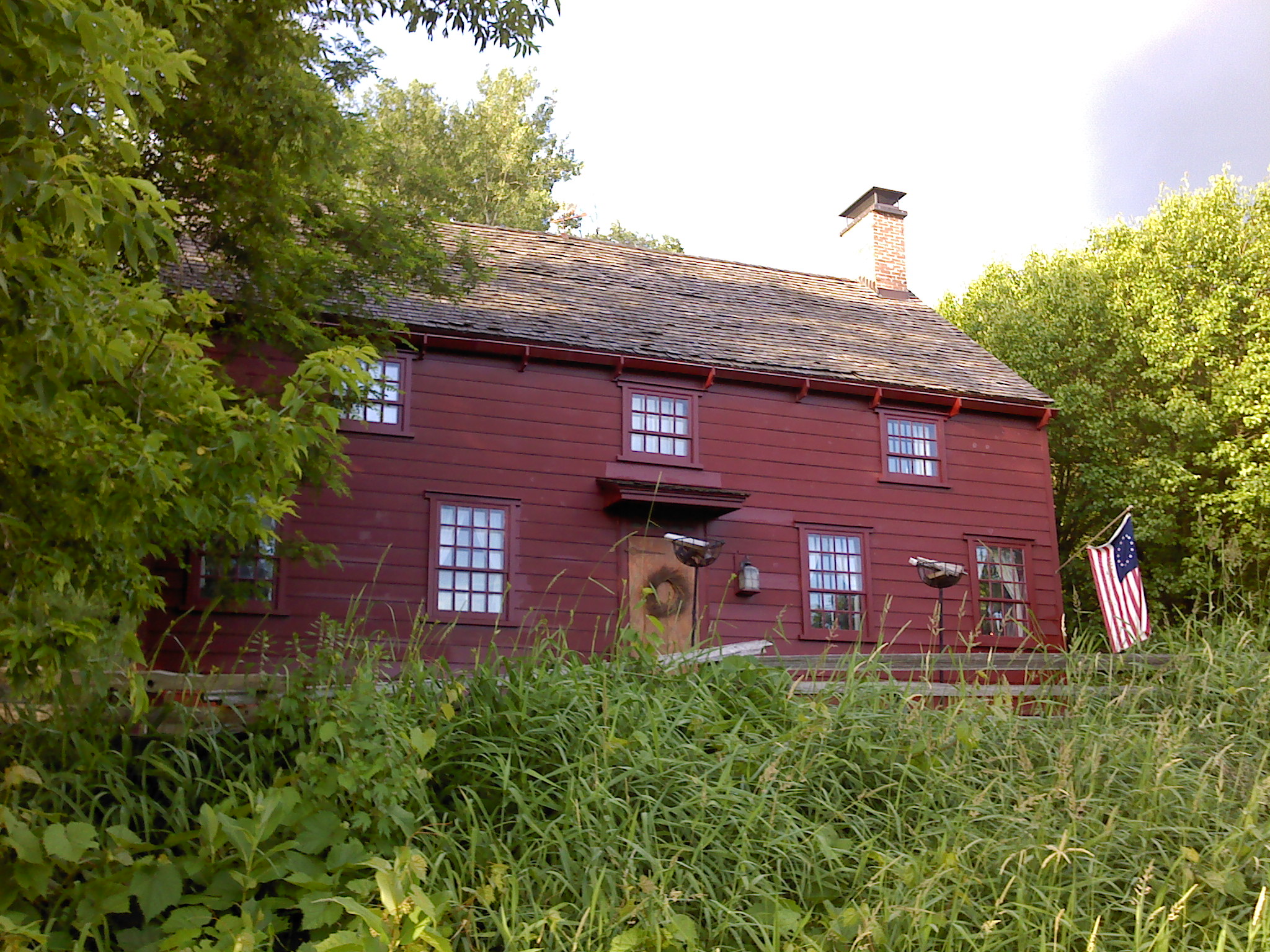
Pleasant View Farm

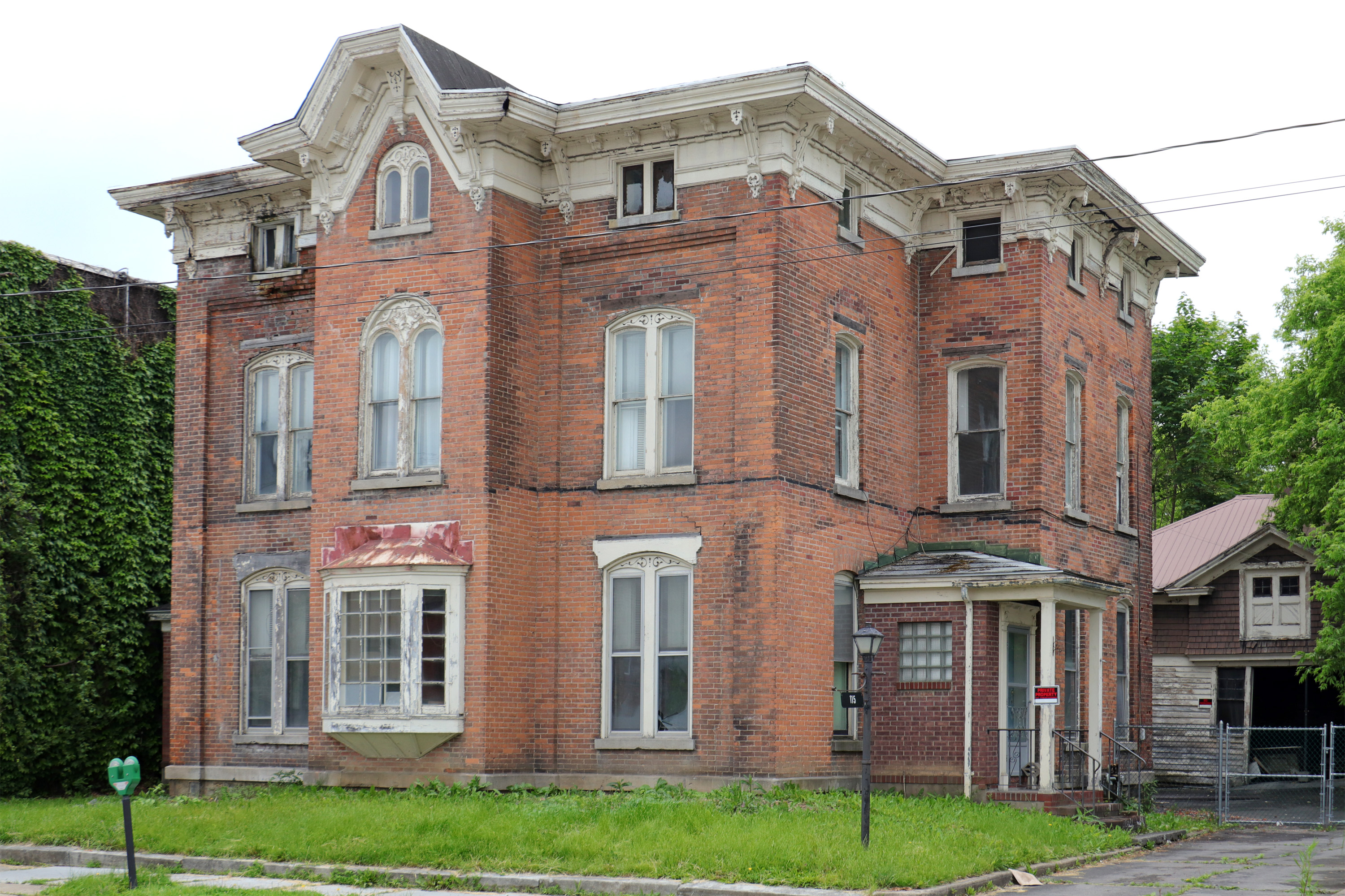
Queen Anne Victorian

An Evening Show
House on Green Street

Sunset Hill, 1923, by architect Dwight James Baum

Lock 41 - Plantation Island

Resnick's

West Shore Railroad Underpass
Wohleben House

Farmers Bridge Over The West Shore

Former D. L. & W. ROW
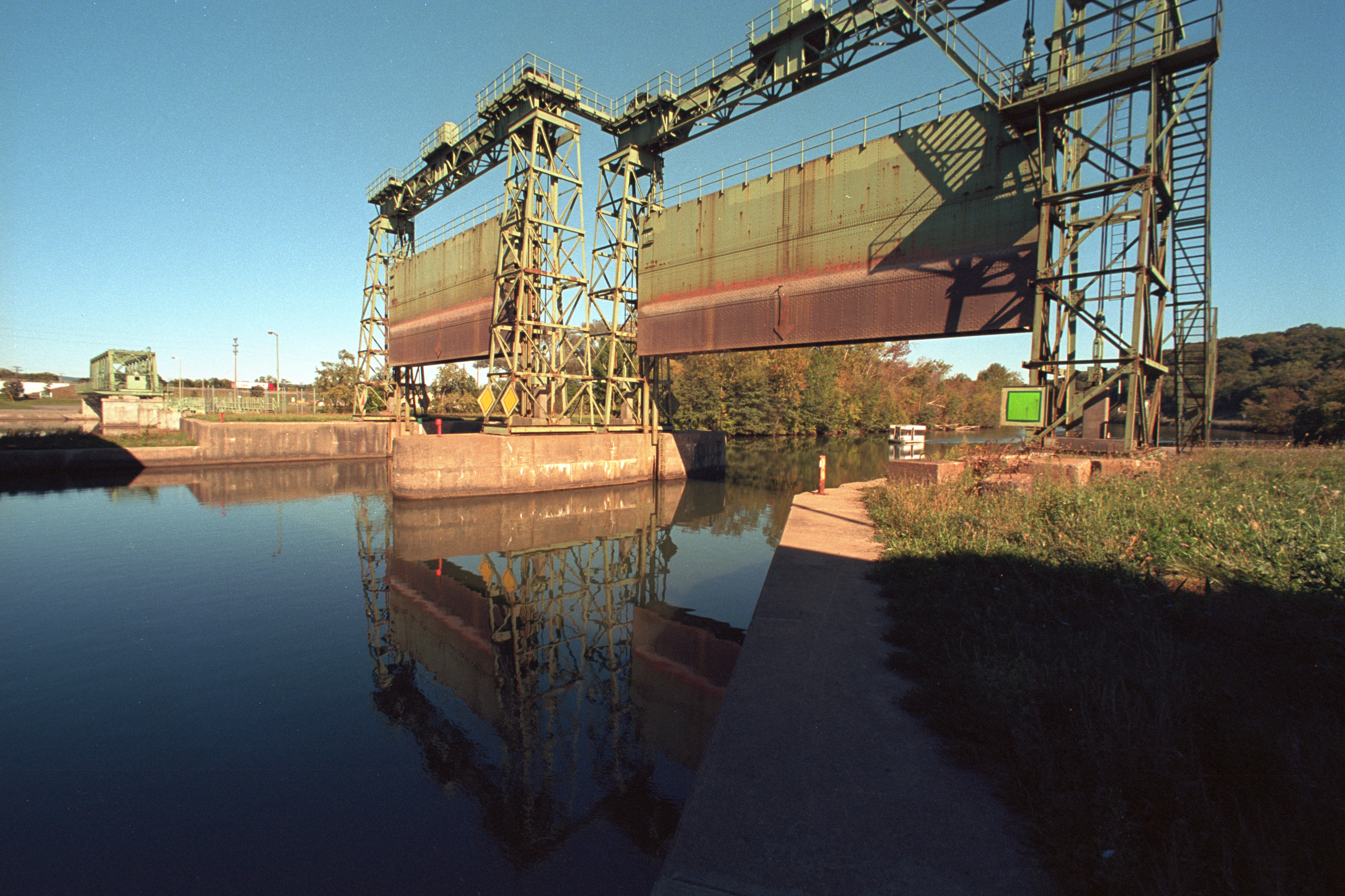
Erie Canal gates

Baker Octagon Barn (added 1984 - - #84002887)
Abandoned D. L. & W. RR, Bridgewater, NY

Valley Panoramic

gilman wedding-81

Lake Canadarago

Mohawk River ~ Erie Canal

Chepatchet Pond

Sunset In The West

Gems Along The Mohawk on the Mohawk River
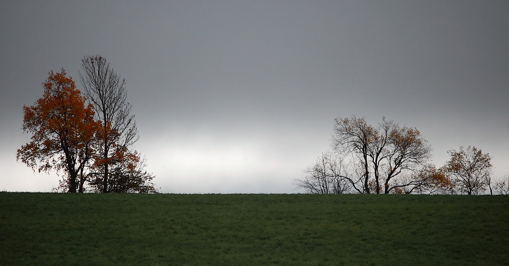
looks like rain. . . .

Lighting The Landscape

Red Barn in a Autumn Landscape

The Gorge
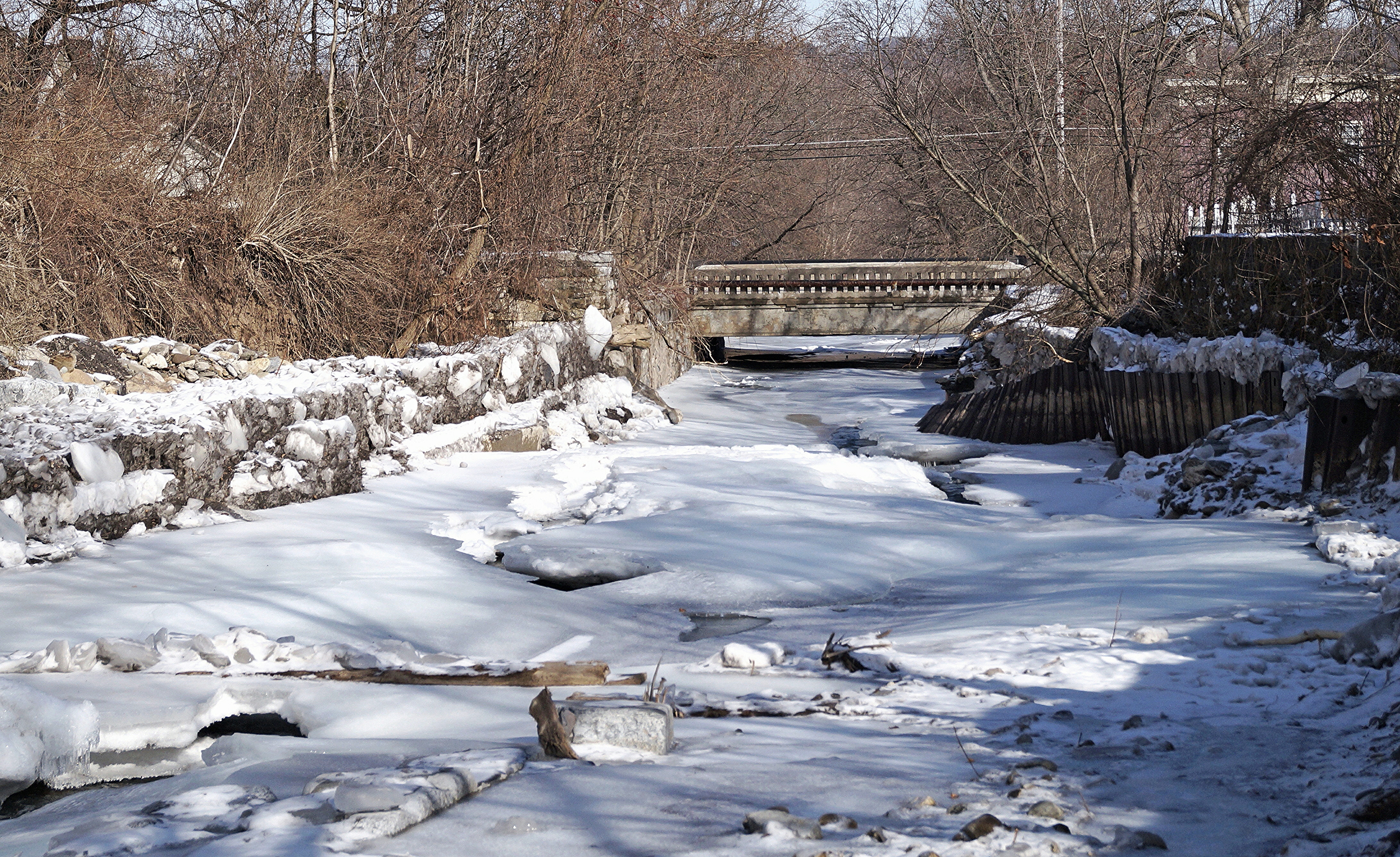
Frozen Moyer Creek

Lighting Up The Erie Canal

Setting Sun Over The Valley
Muddy Waters

Frankfort Gorge

Steady Flow

On The Other Side Of The Fence

Ice Fishing On Canadarago Lake

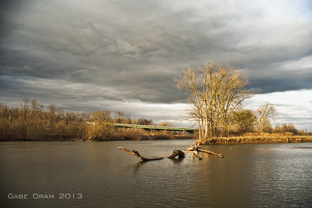
A Peaceful River

Shale Bed Road

Out In The Country

After The Thaw
Topographic Map of Gage Road, Gage Rd, Columbia, NY, USA
Find elevation by address:

Places near Gage Road, Gage Rd, Columbia, NY, USA:
Brewer Rd, Ilion, NY, USA
475 Brewer Rd
1438 Jones Rd
1438 Jones Rd
Columbia
Huxtable Rd, West Winfield, NY, USA
Brewer Rd, Ilion, NY, USA
1517 Barringer Rd
Spinnerville Gulf Rd N, Ilion, NY, USA
Brand Street
Litchfield
Mcgowan Road
260 Hugick Rd
Ilion
362 E Main St
121 Hugick Rd
Winfield
Mohawk
Frankfort
299 Meeting House Rd
Recent Searches:
- Elevation of Corso Fratelli Cairoli, 35, Macerata MC, Italy
- Elevation of Tallevast Rd, Sarasota, FL, USA
- Elevation of 4th St E, Sonoma, CA, USA
- Elevation of Black Hollow Rd, Pennsdale, PA, USA
- Elevation of Oakland Ave, Williamsport, PA, USA
- Elevation of Pedrógão Grande, Portugal
- Elevation of Klee Dr, Martinsburg, WV, USA
- Elevation of Via Roma, Pieranica CR, Italy
- Elevation of Tavkvetili Mountain, Georgia
- Elevation of Hartfords Bluff Cir, Mt Pleasant, SC, USA