Elevation of Hurd Hollow Road, Hurd Hollow Rd, Virginia, USA
Location: United States > Tennessee > Hancock County > Kyles Ford >
Longitude: -82.990300
Latitude: 36.5931597
Elevation: 359m / 1178feet
Barometric Pressure: 97KPa
Elevation Map:
Satellite Map:
Related Photos:

Tower House

Kyle's Ford Bridge

Kyle's Ford Bridge

North side of Clinch Mountain
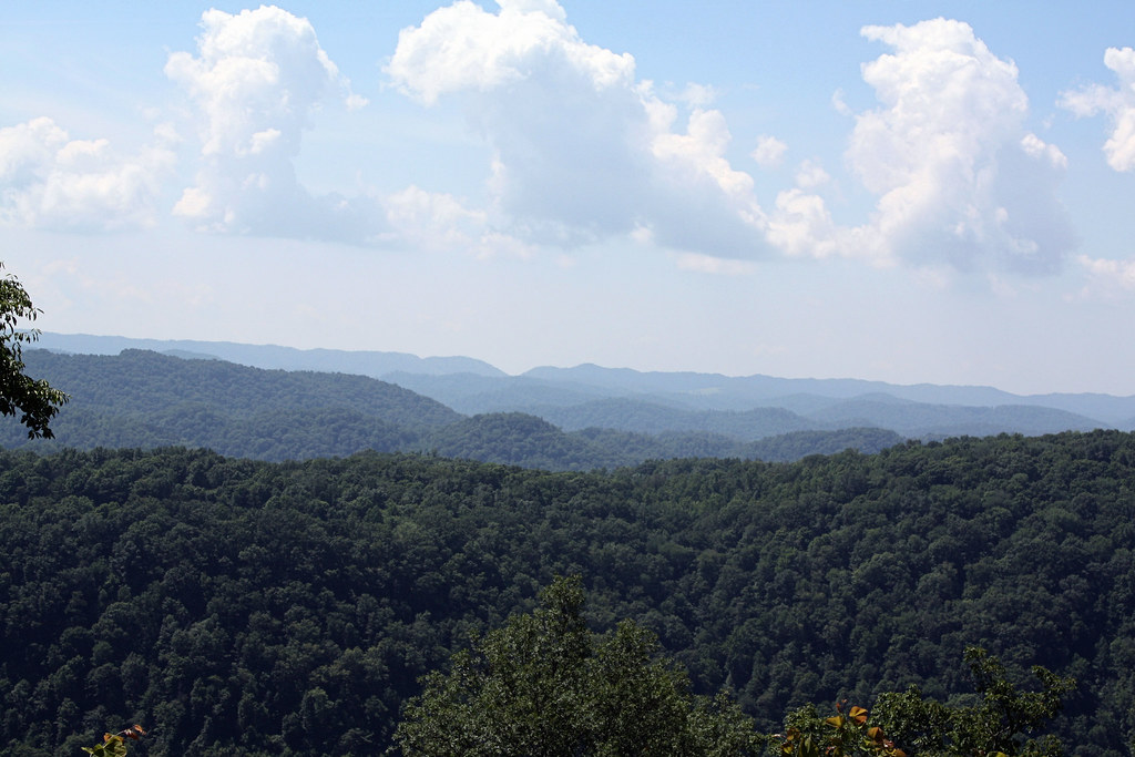
Southern Appalachian Ridges

Mountain View Church

NT Sunrise

We couldn't help but stop this morning and admire the view of the mountains.

Haying time

2020-12-18_08-55-06

Rolling Hills

Blackwater, Virginia

Newmans Ridge 1

Trail Tree

Clinch river

Clinch river

Carters Valley Cemetery

Carters Valley Cemetery

Collier Mill
Topographic Map of Hurd Hollow Road, Hurd Hollow Rd, Virginia, USA
Find elevation by address:

Places near Hurd Hollow Road, Hurd Hollow Rd, Virginia, USA:
Blackwater, VA, USA
Kyles Ford Bridge
Kyles Ford
Blackwater
Perry Livesy Hollow
1990 Fox Branch Rd
Fox Branch Rd, Kyles Ford, TN, USA
Lee County
357 Essie Young Rd
357 Essie Young Rd
Elk Knob Elementary School
3, VA, USA
Old Roop Farm Dr, Jonesville, VA, USA
Jonesville
319 Town Branch Rd
2, VA, USA
Chestnut Ridge Drive
Ocoonita
Lone Branch Church
Sugar Run Road
Recent Searches:
- Elevation of Corso Fratelli Cairoli, 35, Macerata MC, Italy
- Elevation of Tallevast Rd, Sarasota, FL, USA
- Elevation of 4th St E, Sonoma, CA, USA
- Elevation of Black Hollow Rd, Pennsdale, PA, USA
- Elevation of Oakland Ave, Williamsport, PA, USA
- Elevation of Pedrógão Grande, Portugal
- Elevation of Klee Dr, Martinsburg, WV, USA
- Elevation of Via Roma, Pieranica CR, Italy
- Elevation of Tavkvetili Mountain, Georgia
- Elevation of Hartfords Bluff Cir, Mt Pleasant, SC, USA