Elevation of 2, VA, USA

Location: United States > Virginia > Lee County >

Longitude: -83.143457

Latitude: 36.6494077

Elevation: 406m / 1332feet

Barometric Pressure: 97KPa

Elevation Map:

elevation map of 2, VA, USA

Satellite Map:

Satellite map of 2, VA, USA

Related Photos:

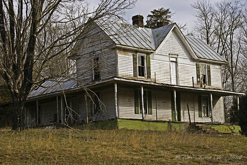
house abandoned virginia explore leecounty platinumphoto proudshopper novavitanewlife novaexcellence artistictreasurechest
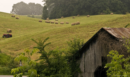
Tower House
home rural country barns moms fields nostalgic hay familyfarm frontporches nikond60 backroadphotography kjerrellimages
Maw's Front Porch View
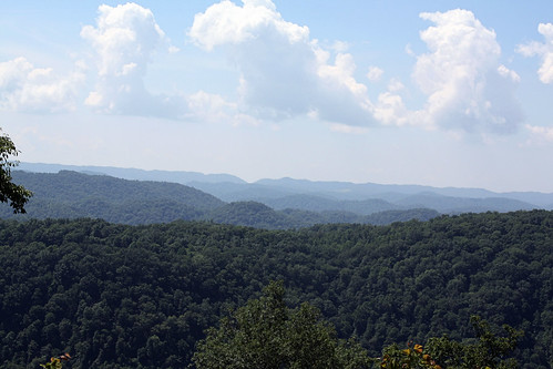
mountain mountains virginia ridges leecounty appalachianmountains
Southern Appalachian Ridges
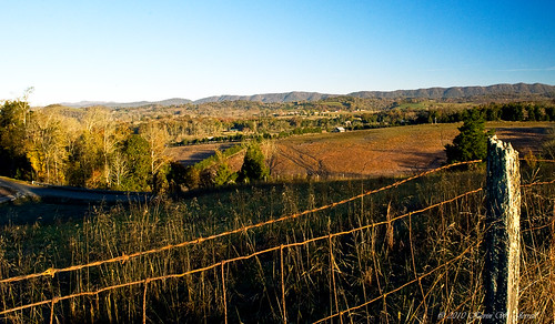
autumn mountains fall rural virginia landscapes country fences hills fields stonemountain leecounty flatwoods jonesville nikond60 backroadsphotography kjerrellimages
A Piece of Lee
penningtongap
Bailey Robbins
penningtongap
Circle of Faith
square gingham squareformat iphoneography instagramapp uploaded:by=instagram foursquare:venue=4ca50156931bb60c941686e2
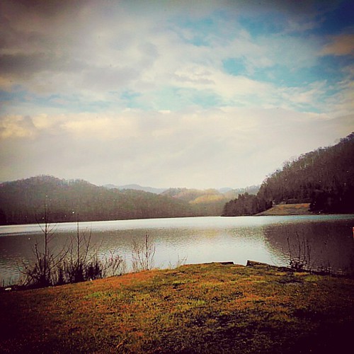
We couldn't help but stop this morning and admire the view of the mountains.
rural country memories mailboxes textures nostalgic homeplace nikond60 backroadphotography kjerrellimages
Mom's Mailbox
houses homes abandoned broken rural neglected forgotten backroads dilapidated rundown fallingdown countryroads ruralphotography leecountyvirginia kjerrellimages beechgrovecommunity
Warming Its Old Bones In The Sun
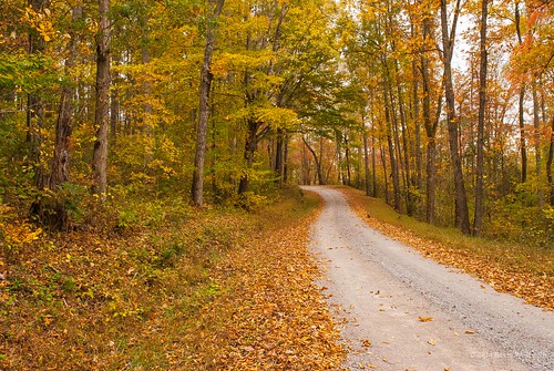
autumn fall fallcolor dirtroads countryroads countryscenes nikond60 rosehillva leecountyvirginia backroadphotography kjerrellimges
Through the Woods
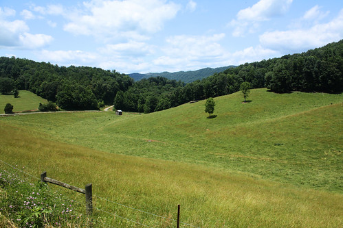
rural fence virginia farm leecounty
Rolling Hills
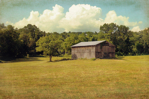
barn rural virginia farm leecounty tatot
The afternoon is heavy on your shoulders
sky clouds barn landscape virginia farm explore leecounty blueribbonwinner supershot mywinners platinumphoto anawesomeshot goldstaraward
Friendship Farm
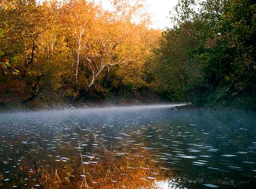
morning autumn fall water misty fog rural virginia colorful calm rivers serene streams leecounty powellriver jonesville backroadphotography kjerrellimages flanarybridge
Morning Light On The Powell
Martin's Fork Lake
rural virginia farm leecounty
Fifty miles of elbow room
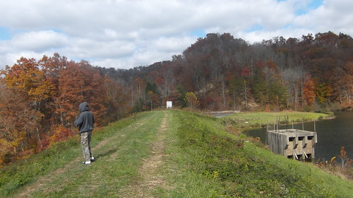
lake mountains fall leaves kentucky fallcolors harlan justified harlancounty justifiedfx
Cranks Creek Dam -- Harlan County, Kentucky
winter snow photography artsy snowscape harlan justified harlancounty harlanky harlankentucky justifiedfx
I was feeling a little artistic tonight.
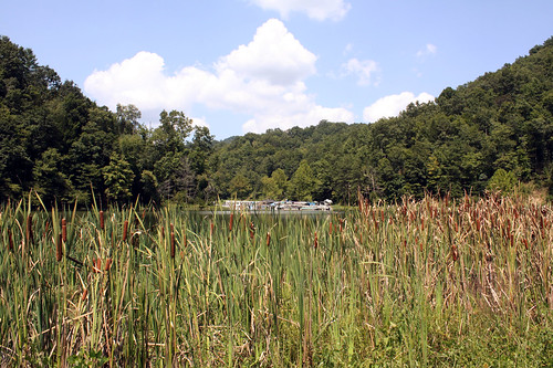
lake creek kentucky cattails harlancounty
Cranks Creek Lake
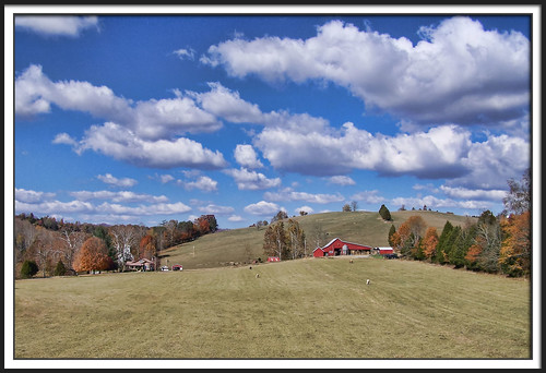
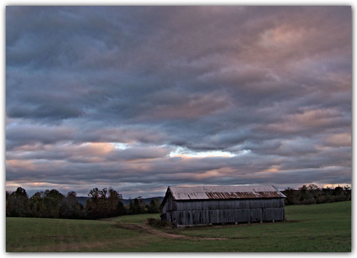
sky clouds barn landscape virginia hdr leecounty
Big Clouds
Martin's Fork Lake -- Harlan, KY
lake mountains fall leaves kentucky fallcolors harlan justified harlancounty justifiedfx
Cranks Creek Lake and Dam
Martins Fork Lake -- Harlan County, KY
Blackwater, Virginia
virginia trail leecounty danielboone wildernesstrail wagonroad
Daniel Boone Wilderness Trail
virginia cave isopod leecounty
Isopod Cave
panorama army kentucky smith morgan usarmy usace corpsofengineers martinsfork jamesmorgan martinsforklake nashvilledistrict
Martins Fork Lake Panorama