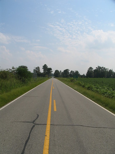
Elevation of Huntley School Rd, Roseboro, NC, USA
Location: United States > North Carolina > Sampson County >
Longitude: -78.509418
Latitude: 35.070339
Elevation: 49m / 161feet
Barometric Pressure: 101KPa
Related Photos:
Topographic Map of Huntley School Rd, Roseboro, NC, USA
Find elevation by address:

Places near Huntley School Rd, Roseboro, NC, USA:
7233 Minnie Hall Rd
Dismal
1485 Odom Rd
Minnie Hall Rd, Autryville, NC, USA
45 Nixon Rd
Herring
Belvoir
1793 Marion-amos Rd
Maxwell Rd, Autryville, NC, USA
Kitty Fork Rd, Clinton, NC, USA
1750 Nixon Rd
Roseboro Hwy, Clinton, NC, USA
101 E Williams St
W Williams St, Autryville, NC, USA
Basstown Rd, Clinton, NC, USA
Coharie Dr, Clinton, NC, USA
7661 Beaver Dam Rd
Royal Ln, Clinton, NC, USA
Maxwell Rd, Stedman, NC, USA
5651 Bridle Ridge Ln
Recent Searches:
- Elevation of Corso Fratelli Cairoli, 35, Macerata MC, Italy
- Elevation of Tallevast Rd, Sarasota, FL, USA
- Elevation of 4th St E, Sonoma, CA, USA
- Elevation of Black Hollow Rd, Pennsdale, PA, USA
- Elevation of Oakland Ave, Williamsport, PA, USA
- Elevation of Pedrógão Grande, Portugal
- Elevation of Klee Dr, Martinsburg, WV, USA
- Elevation of Via Roma, Pieranica CR, Italy
- Elevation of Tavkvetili Mountain, Georgia
- Elevation of Hartfords Bluff Cir, Mt Pleasant, SC, USA
