Elevation of Humeston, IA, USA
Location: United States > Iowa > Wayne County > Richman >
Longitude: -93.497437
Latitude: 40.858892
Elevation: 337m / 1106feet
Barometric Pressure: 97KPa
Elevation Map:
Satellite Map:
Related Photos:

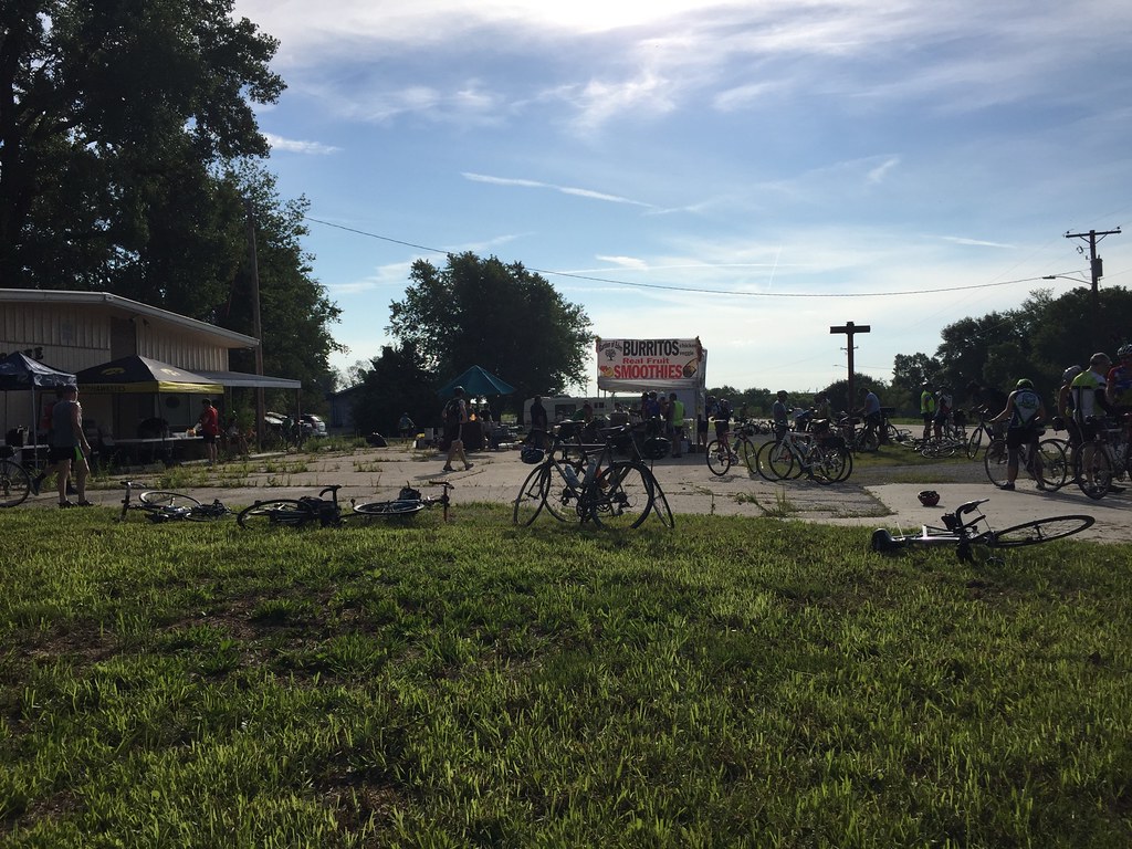
Cinder Path Bike Trail

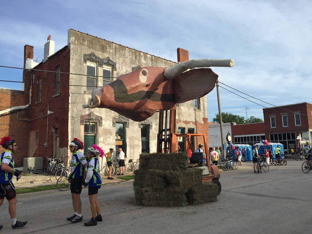
Hay Bale

From the cabin deck
RAGBRAI 2016

RAGBRAI 2016

RAGBRAI 2016

RAGBRAI 2016

RAGBRAI 2016

RAGBRAI 2016

RAGBRAI 2016

RAGBRAI 2016

RAGBRAI 2016

RAGBRAI 2016
RAGBRAI 2016

RAGBRAI 2016

20160522-IMG_2769.jpg

20160522-IMG_2764.jpg

20160522-IMG_2762.jpg

20160522-IMG_2741.jpg

20160522-IMG_2720.jpg

20160522-IMG_2716.jpg

Clarke County Sunset

Clarke County Sunset

Clarke County Sunset
Topographic Map of Humeston, IA, USA
Find elevation by address:

Places in Humeston, IA, USA:
Places near Humeston, IA, USA:
Broad St, Humeston, IA, USA
Richman
Center St, Derby, IA, USA
Morman Trail, Humeston, IA, USA
Franklin
Lucas
Front St, Lucas, IA, USA
Sherman St, Humeston, IA, USA
Woodburn
Jackson
Lucas County
Whitebreast
Jackson
Union
th Ln, Chariton, IA, USA
Chariton
7-29a
10611 240th Ave
th St, Lucas, IA, USA
24550 Us-34
Recent Searches:
- Elevation of Corso Fratelli Cairoli, 35, Macerata MC, Italy
- Elevation of Tallevast Rd, Sarasota, FL, USA
- Elevation of 4th St E, Sonoma, CA, USA
- Elevation of Black Hollow Rd, Pennsdale, PA, USA
- Elevation of Oakland Ave, Williamsport, PA, USA
- Elevation of Pedrógão Grande, Portugal
- Elevation of Klee Dr, Martinsburg, WV, USA
- Elevation of Via Roma, Pieranica CR, Italy
- Elevation of Tavkvetili Mountain, Georgia
- Elevation of Hartfords Bluff Cir, Mt Pleasant, SC, USA