Elevation map of Huancavelica, Peru
Location: Peru >
Longitude: -75.154538
Latitude: -12.928045
Elevation: 4699m / 15417feet
Barometric Pressure: 56KPa
Elevation Map:
Satellite Map:
Related Photos:
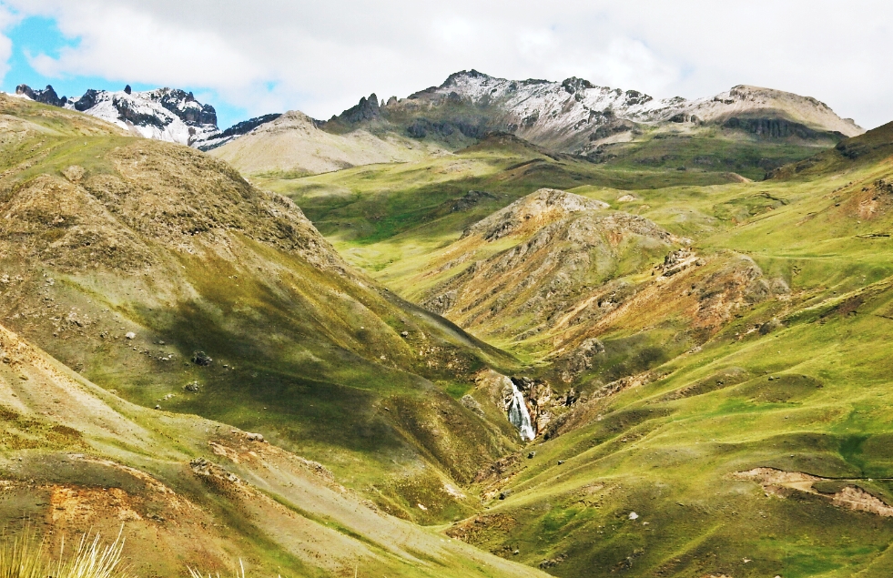
Huancavelica-Rumichaca pass
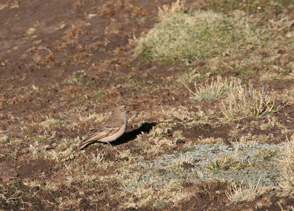
Slender-billed Miner (Geositta tenuirostris)
Topographic Map of Huancavelica, Peru
Find elevation by address:

Places in Huancavelica, Peru:
Places near Huancavelica, Peru:
24A 80, Peru
24A, Peru
03A 42, Peru
03A 78, Peru
Huaytará Province
Cangallo Province
Libertadores, Peru
Ica
Pampa De Villacuri
Recent Searches:
- Elevation of Corso Fratelli Cairoli, 35, Macerata MC, Italy
- Elevation of Tallevast Rd, Sarasota, FL, USA
- Elevation of 4th St E, Sonoma, CA, USA
- Elevation of Black Hollow Rd, Pennsdale, PA, USA
- Elevation of Oakland Ave, Williamsport, PA, USA
- Elevation of Pedrógão Grande, Portugal
- Elevation of Klee Dr, Martinsburg, WV, USA
- Elevation of Via Roma, Pieranica CR, Italy
- Elevation of Tavkvetili Mountain, Georgia
- Elevation of Hartfords Bluff Cir, Mt Pleasant, SC, USA