Elevation of 24A 80, Peru
Location: Peru > Huancavelica > Huaytará Province >
Longitude: -74.938402
Latitude: -13.37672
Elevation: 3945m / 12943feet
Barometric Pressure: 62KPa
Elevation Map:
Satellite Map:
Related Photos:
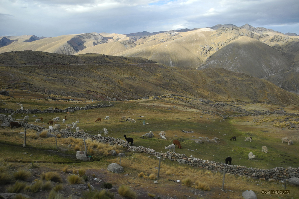
Road from Lima to Ayacucho
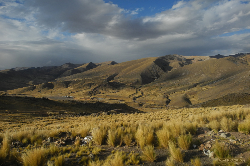
Road from Lima to Ayacucho
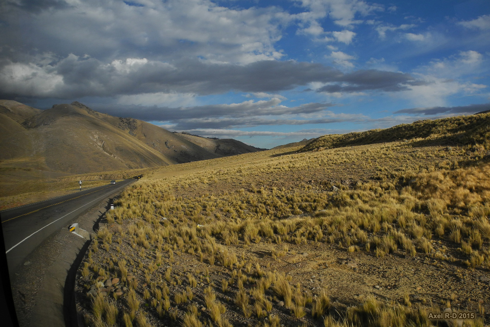
Road from Lima to Ayacucho
Topographic Map of 24A 80, Peru
Find elevation by address:

Places near 24A 80, Peru:
24A, Peru
Cangallo Province
Huaytará Province
Huancavelica
03A 42, Peru
03A 78, Peru
Libertadores, Peru
Ica
Pampa De Villacuri
Recent Searches:
- Elevation of Corso Fratelli Cairoli, 35, Macerata MC, Italy
- Elevation of Tallevast Rd, Sarasota, FL, USA
- Elevation of 4th St E, Sonoma, CA, USA
- Elevation of Black Hollow Rd, Pennsdale, PA, USA
- Elevation of Oakland Ave, Williamsport, PA, USA
- Elevation of Pedrógão Grande, Portugal
- Elevation of Klee Dr, Martinsburg, WV, USA
- Elevation of Via Roma, Pieranica CR, Italy
- Elevation of Tavkvetili Mountain, Georgia
- Elevation of Hartfords Bluff Cir, Mt Pleasant, SC, USA