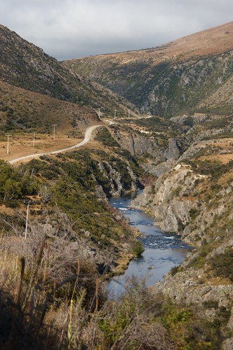
Elevation of HP Hawkdun Range, Otago, New Zealand
Location: New Zealand > Otago > Waitaki District > Otematata >
Longitude: 169.970833
Latitude: -44.7425
Elevation: 1634m / 5361feet
Barometric Pressure: 83KPa
Related Photos:
Topographic Map of HP Hawkdun Range, Otago, New Zealand
Find elevation by address:

Places near HP Hawkdun Range, Otago, New Zealand:
Saint Bathans
1663 St Bathans Downs Rd
Mount Saint Bathans
19 Teal Cres
Omarama
Dunstan Downs High Country Sheep Station
Lindis Pass
Otago
Lindis Pass
Twizel
Lake Ohau
Ahuriri Conservation Park
Pukaki
Mount Saint Mary
Hopkins Valley
Queensberry Terrace
3574 Luggate-cromwell Rd
Wailana Heights Drive
Queensberry
45 Wailana Heights Dr
Recent Searches:
- Elevation of Corso Fratelli Cairoli, 35, Macerata MC, Italy
- Elevation of Tallevast Rd, Sarasota, FL, USA
- Elevation of 4th St E, Sonoma, CA, USA
- Elevation of Black Hollow Rd, Pennsdale, PA, USA
- Elevation of Oakland Ave, Williamsport, PA, USA
- Elevation of Pedrógão Grande, Portugal
- Elevation of Klee Dr, Martinsburg, WV, USA
- Elevation of Via Roma, Pieranica CR, Italy
- Elevation of Tavkvetili Mountain, Georgia
- Elevation of Hartfords Bluff Cir, Mt Pleasant, SC, USA
