Elevation of Hoy, Thurso KW14, UK
Location: United Kingdom > Scotland >
Longitude: -3.354372
Latitude: 58.557593
Elevation: 43m / 141feet
Barometric Pressure: 101KPa
Elevation Map:
Satellite Map:
Related Photos:
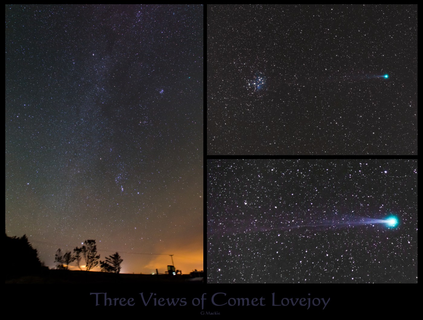
Dirty Snowball in Winter Skies
A Timely Break in the Clouds
Dunnet Head

Sunset over the Pentland Firth

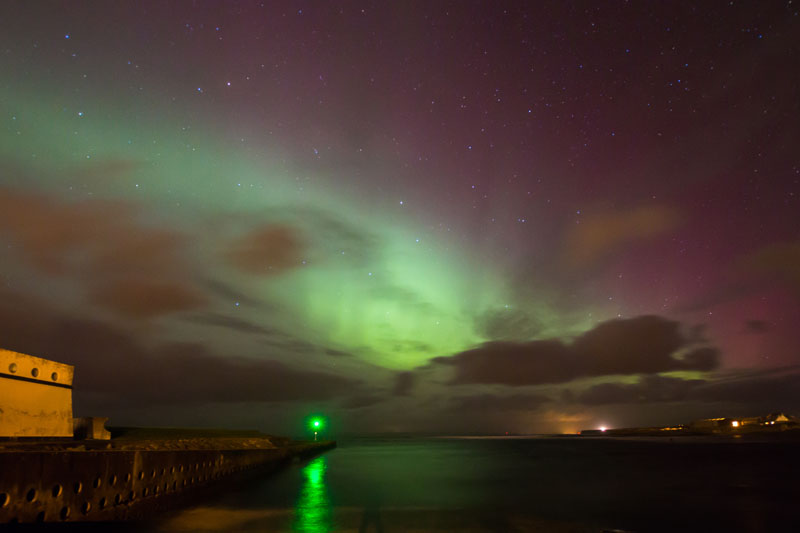
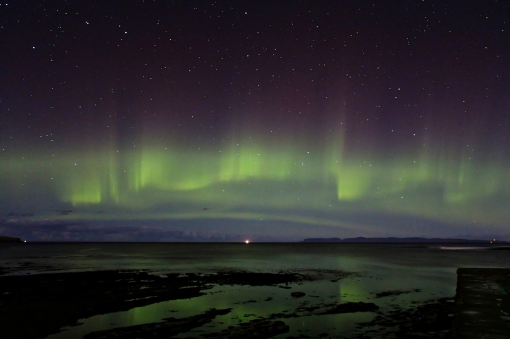
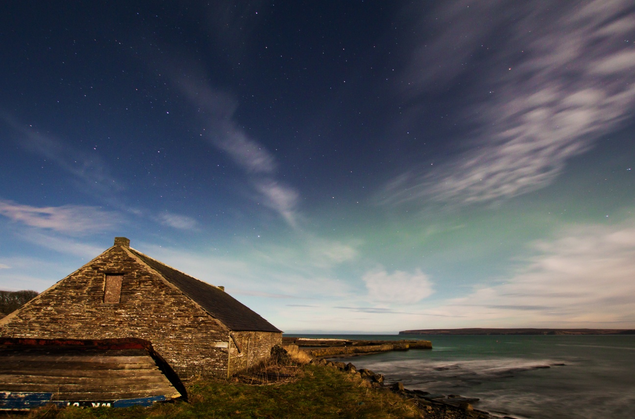
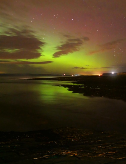
Aurora peeking through

71 - Unwinding
I'll Be Free Soon

View of the Pentland Firth from the Castle of Mey
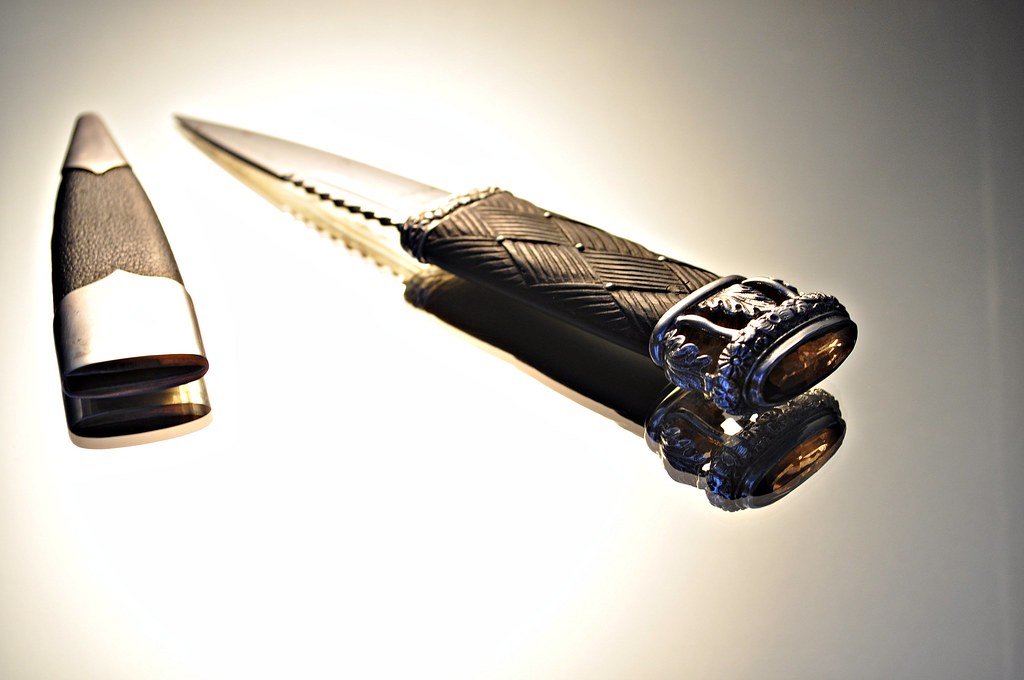
My sgian-dubh
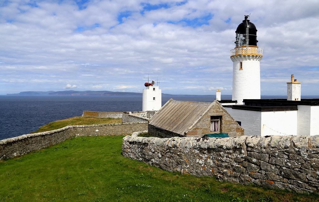
Jul 13 - Dunnet head lighthouse (1831, built by Robert Stevenson, grandfather of R. L. Stevenson), Dunnet head, northernmost point on the Scottish mainland, with the island of Hoy (Orkneys) in the distance

Georgemas Junction
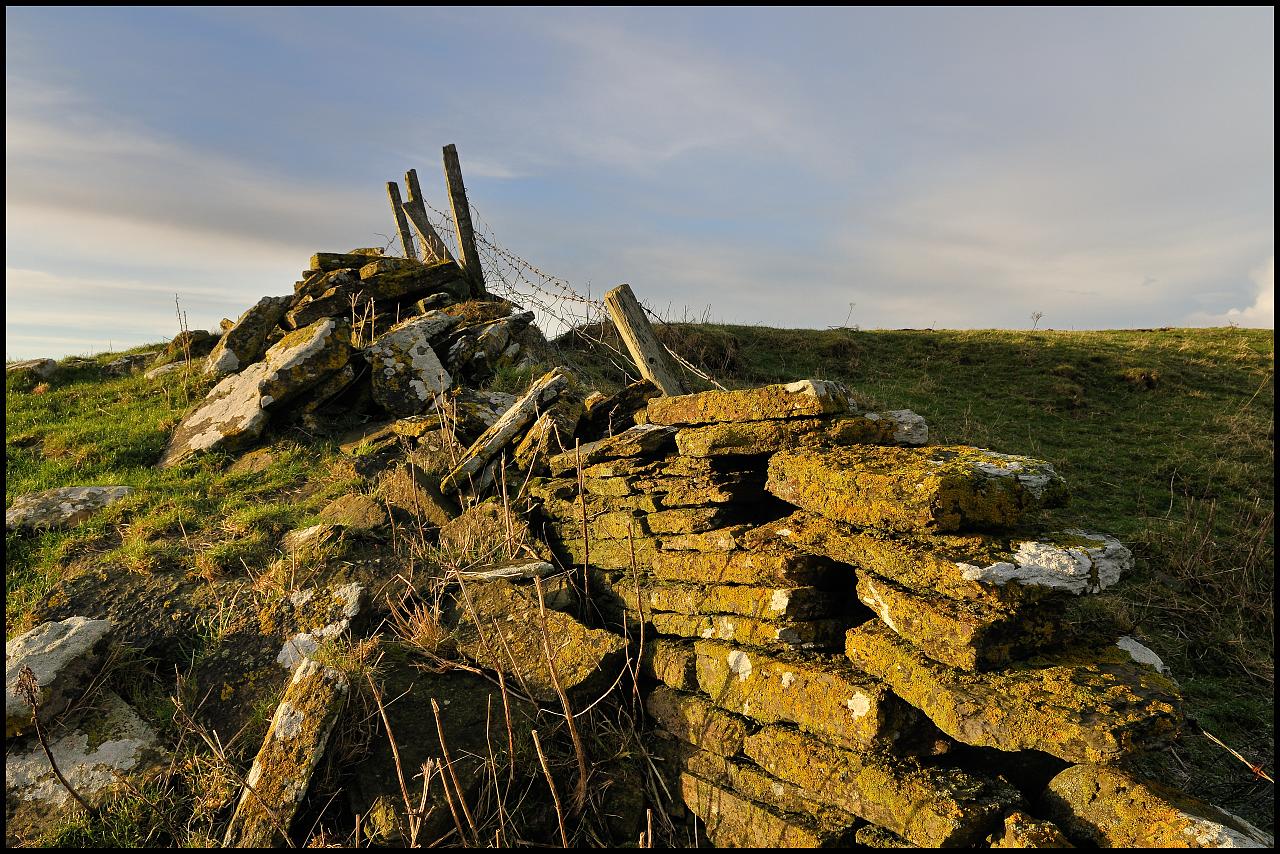
Stone Dyke

Dunnet Head
Aurora - Stunning Rayed Band
Moonlit Aurora to start 2015

Sprawling Silver Tendrils
361 - An Old Friend
View from the Castle of Mey

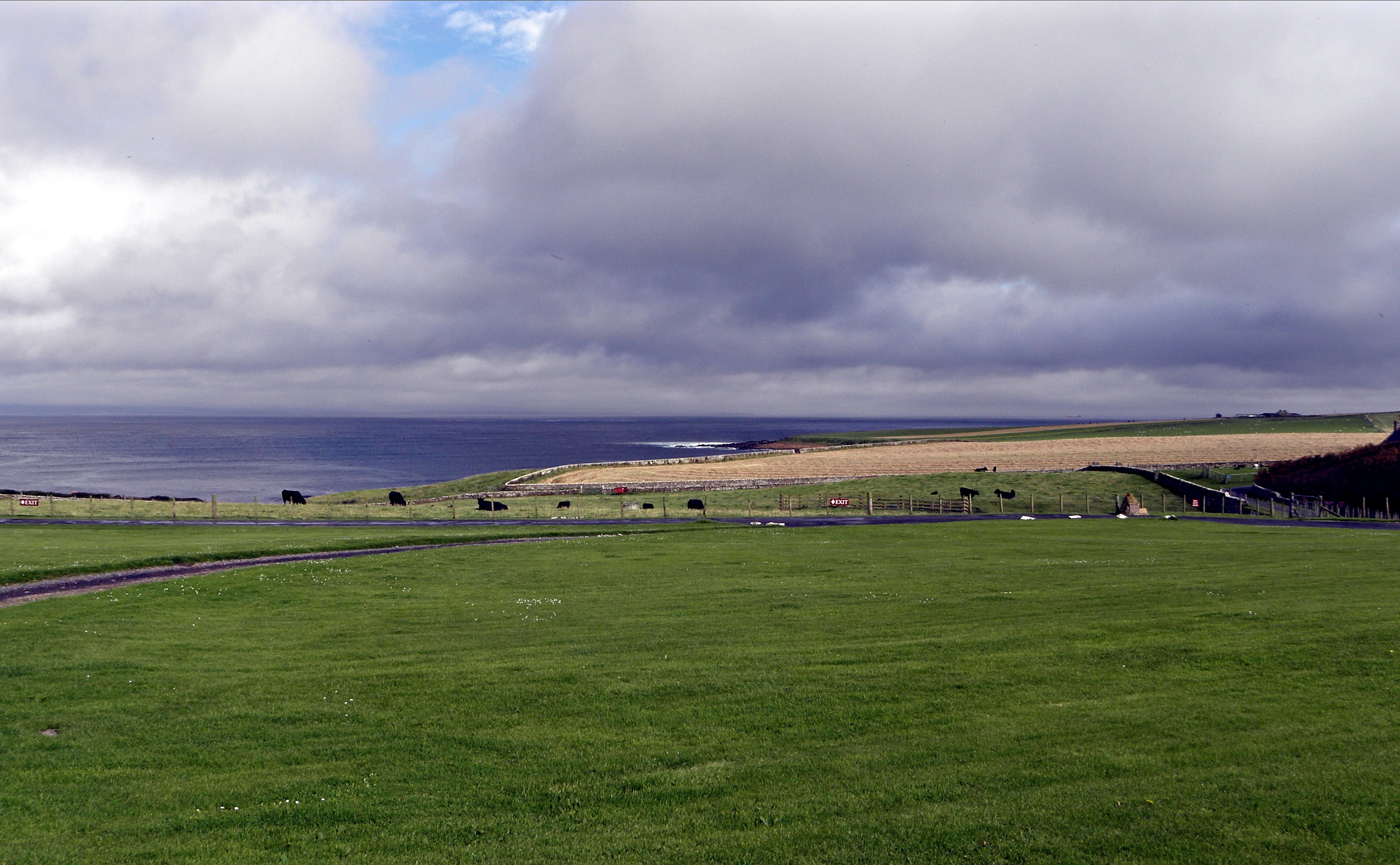
The Hills of Caithness
From the North
Aurora - Parting shot as the clouds rolled in

Calm before the storm
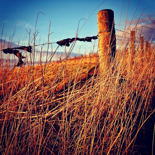
Fencepost lonesome.

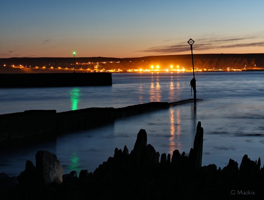
The Blue Hour

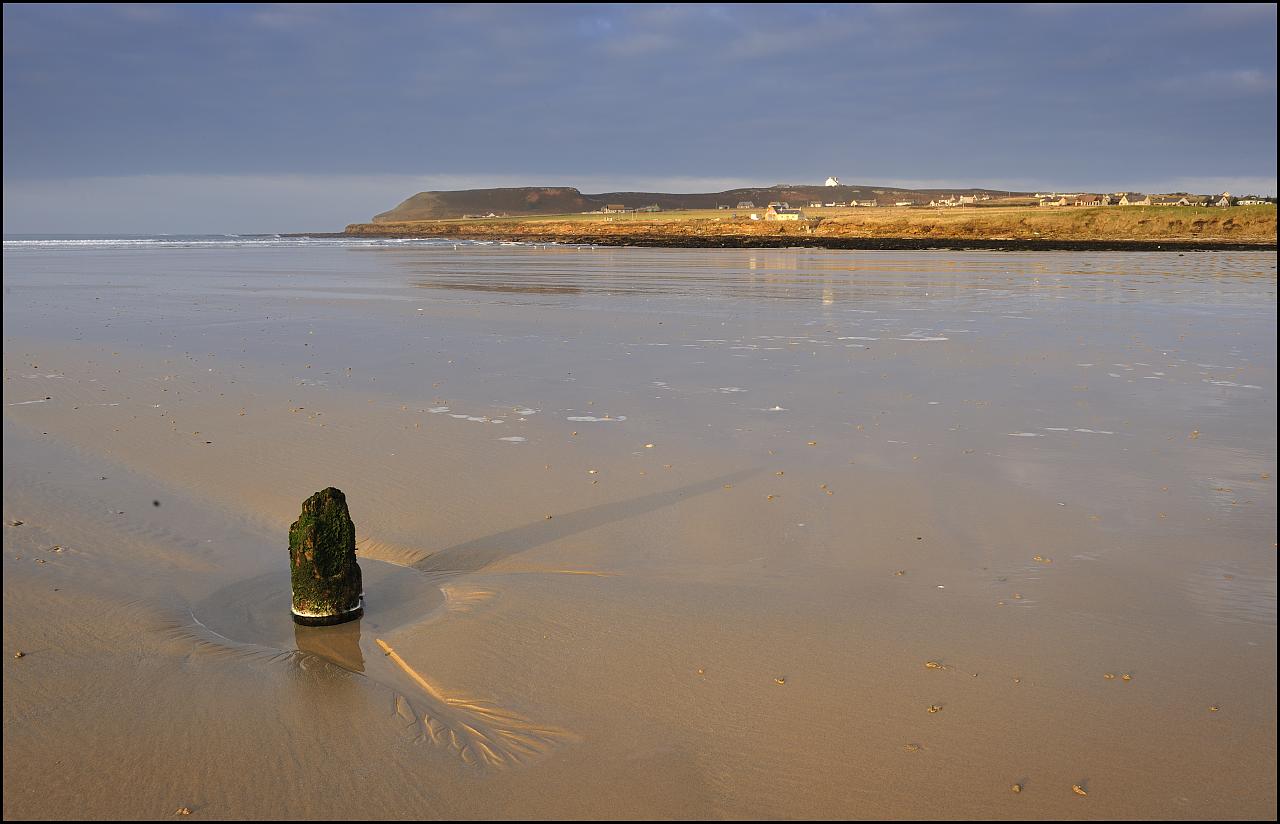
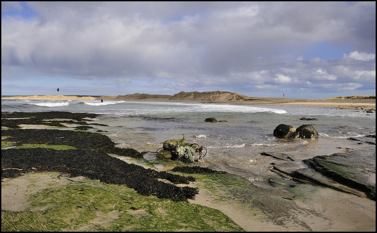
Dunnet Beach
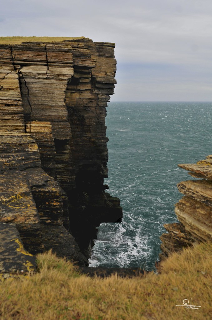
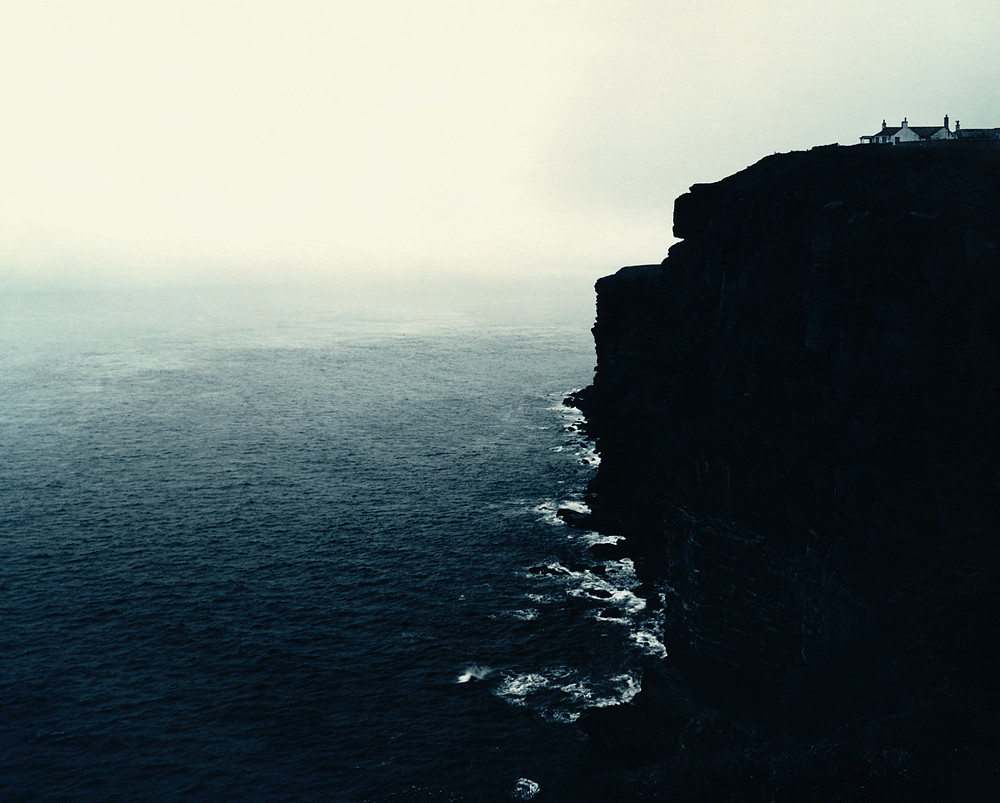
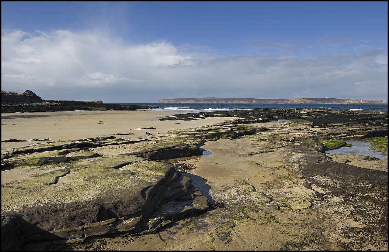
The Cliffs on the Headland, Scotland UK
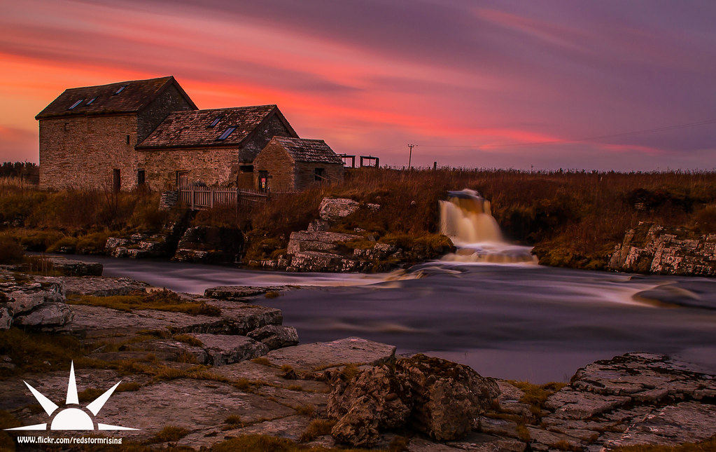
Westerdale Mill
Away Goes the Sun

Washed up tree, Reiss Beach on a cold January evening.
Jagged Rocks & Coloured Lights

#lighthouse #dunnedhead #scotland

Dunnet Bay Sunset
Dunnet Head from Castletown
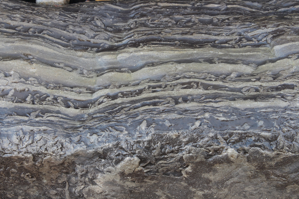
Syneresis cracks, formed underwater due to changes in salinity in Lake Orcadie, which covered Caithness, the Orkney Isle, part of the Shetland Isles and the Southern Moray Firth during the Devonian period, approximately 390 million years ago.

Over the sea
Gateway to the Big Blue Yonder
Topographic Map of Hoy, Thurso KW14, UK
Find elevation by address:

Places in Hoy, Thurso KW14, UK:
Places near Hoy, Thurso KW14, UK:
Castletown
Kw12 6uy
Dunnet
Kw1 4ue
Lyth
2 Carsgoe Farm Cottages, Halkirk KW12 6XB, UK
Rattar
Kw12 6yt
A9
Halkirk
6 Crescent St
Bilbster
B874
Thurso
Westerdale
6 Geise Houses, Thurso KW14 7XJ, UK
Unnamed Road
Janetstown
Hill Of Forss
Kw12 6up
Recent Searches:
- Elevation of Corso Fratelli Cairoli, 35, Macerata MC, Italy
- Elevation of Tallevast Rd, Sarasota, FL, USA
- Elevation of 4th St E, Sonoma, CA, USA
- Elevation of Black Hollow Rd, Pennsdale, PA, USA
- Elevation of Oakland Ave, Williamsport, PA, USA
- Elevation of Pedrógão Grande, Portugal
- Elevation of Klee Dr, Martinsburg, WV, USA
- Elevation of Via Roma, Pieranica CR, Italy
- Elevation of Tavkvetili Mountain, Georgia
- Elevation of Hartfords Bluff Cir, Mt Pleasant, SC, USA