Elevation of Howards Way, Dobson, NC, USA
Location: United States > North Carolina > Surry County > Dobson > Dobson >
Longitude: -80.778267
Latitude: 36.3689153
Elevation: 370m / 1214feet
Barometric Pressure: 97KPa
Elevation Map:
Satellite Map:
Related Photos:

A view of the Knob from Honey Locust Lane.

Thurmond Barn #2

A new view of the Knob

G&O 6005 - 9552

A beautiful view down Raven Knob road into camp. 6/11/14

Hugh Chatham Memorial Bridge, Yadkin River
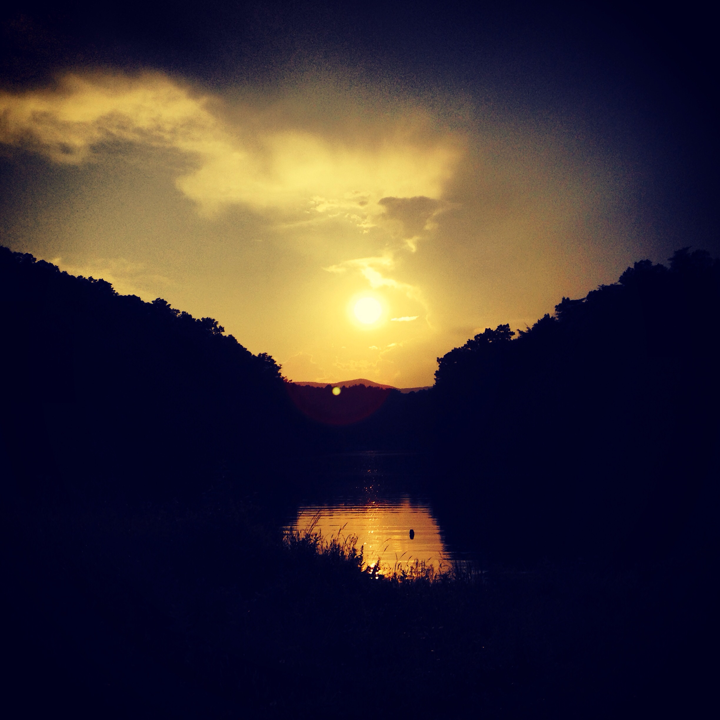
Sunset view from the point.

Raven Knob Panorama

this view doesn't suck...

angel porch 2
Topographic Map of Howards Way, Dobson, NC, USA
Find elevation by address:

Places near Howards Way, Dobson, NC, USA:
Salamander Way
Old Rockford Road
Marsh
1684 Cc Camp Rd
NC-, Elkin, NC, USA
319 Burcham Rd
Turkey Ford Road
Surry County
Elkin
300 Pgw Dr
154 Hazard Trail
180 Parkwood Dr
5140 River Rd
Bray Ford Rd, Dobson, NC, USA
1933 Nc-67
230 Hawthorne Rd
Rockford
268 Church St
Elkin
Jonesville
Recent Searches:
- Elevation of Corso Fratelli Cairoli, 35, Macerata MC, Italy
- Elevation of Tallevast Rd, Sarasota, FL, USA
- Elevation of 4th St E, Sonoma, CA, USA
- Elevation of Black Hollow Rd, Pennsdale, PA, USA
- Elevation of Oakland Ave, Williamsport, PA, USA
- Elevation of Pedrógão Grande, Portugal
- Elevation of Klee Dr, Martinsburg, WV, USA
- Elevation of Via Roma, Pieranica CR, Italy
- Elevation of Tavkvetili Mountain, Georgia
- Elevation of Hartfords Bluff Cir, Mt Pleasant, SC, USA