Elevation of Hot Springs Peak, California, USA
Location: United States > Susanville >
Longitude: -120.12132
Latitude: 40.3754577
Elevation: 2290m / 7513feet
Barometric Pressure: 77KPa
Elevation Map:
Satellite Map:
Related Photos:
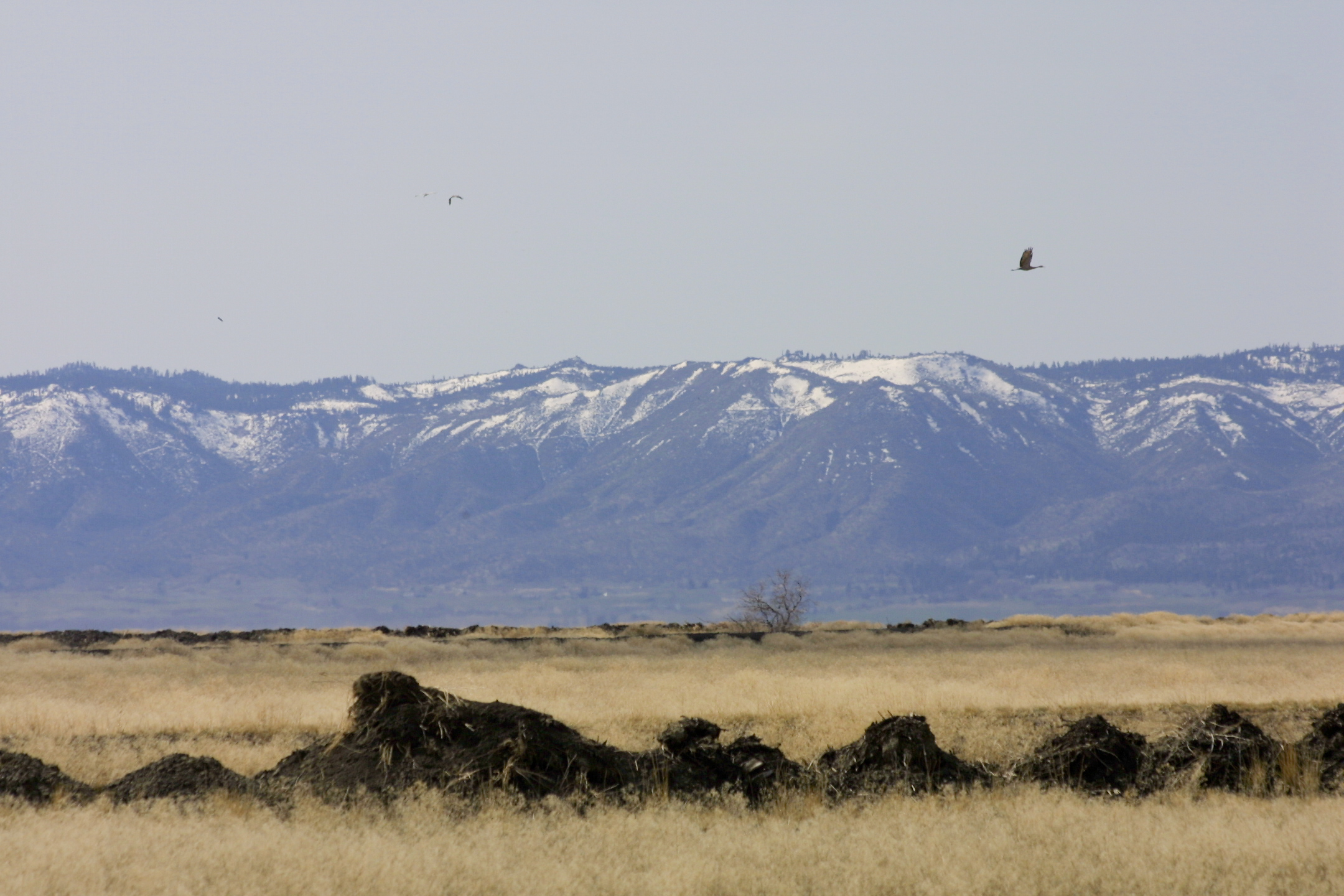
views, Honey Lake NWR, CA, 2003-03-09 (2 of 2).jpg
Topographic Map of Hot Springs Peak, California, USA
Find elevation by address:

Places near Hot Springs Peak, California, USA:
469-660
Wendel
Sierra Army Depot
Herlong
107 Aspen St
107 Aspen
Pine St, Susanville, CA, USA
Litchfield
445-25
Surprise Valley Rd, Reno, NV, USA
718-755
Milford
450-275
Shinn Mountain
480-250
720-030 Westview Rd
Doyle
Ramhorn Campground
460 Lakecrest Rd
State Line Peak
Recent Searches:
- Elevation of Corso Fratelli Cairoli, 35, Macerata MC, Italy
- Elevation of Tallevast Rd, Sarasota, FL, USA
- Elevation of 4th St E, Sonoma, CA, USA
- Elevation of Black Hollow Rd, Pennsdale, PA, USA
- Elevation of Oakland Ave, Williamsport, PA, USA
- Elevation of Pedrógão Grande, Portugal
- Elevation of Klee Dr, Martinsburg, WV, USA
- Elevation of Via Roma, Pieranica CR, Italy
- Elevation of Tavkvetili Mountain, Georgia
- Elevation of Hartfords Bluff Cir, Mt Pleasant, SC, USA