Elevation of Horton Ford Rd, Eidson, TN, USA
Location: United States > Tennessee > Hawkins County > Eidson >
Longitude: -82.933030
Latitude: 36.5730794
Elevation: 365m / 1198feet
Barometric Pressure: 97KPa
Elevation Map:
Satellite Map:
Related Photos:

North side of Clinch Mountain
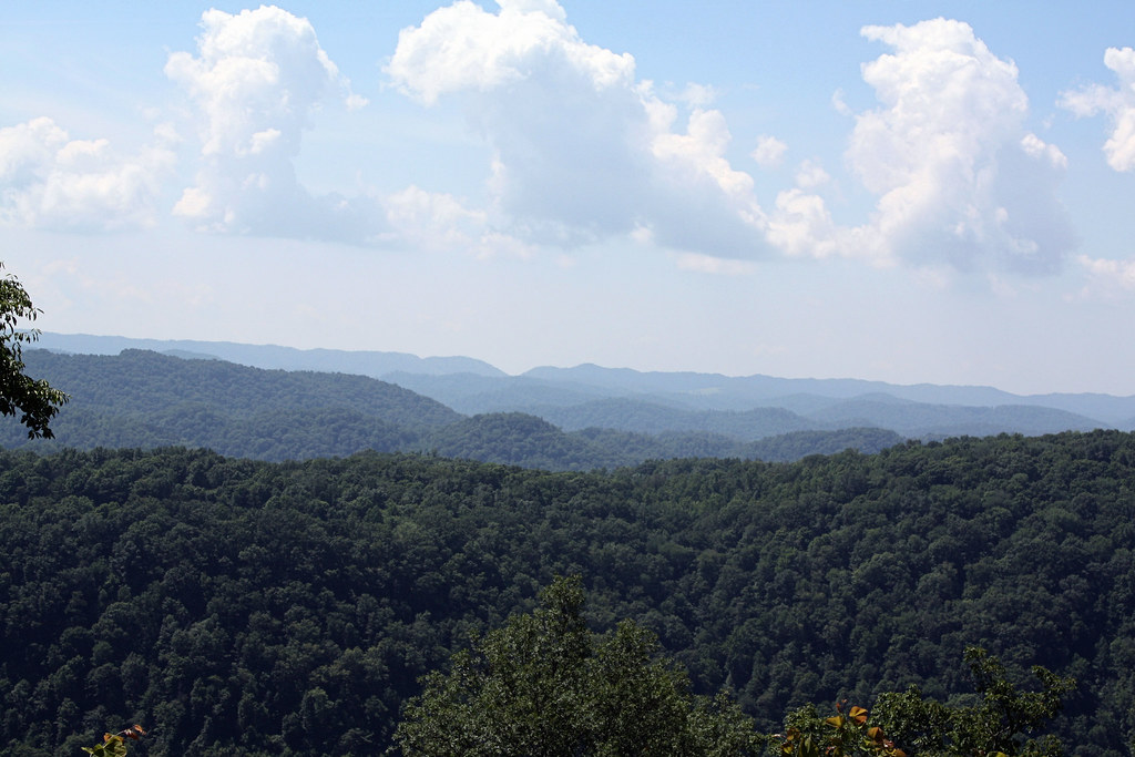
Southern Appalachian Ridges

Mountain View Church

Cumberland Gap 360

NT Sunrise

Haying time

Winter In East Tennessee

Blackwater, Virginia

Newmans Ridge 1

Trail Tree

Clinch river

Clinch river

Carters Valley Cemetery

Carters Valley Cemetery

Shady side - Ice hanging

Shady side - Ice hanging

Shady side - Ice hanging

Shady side - Ice hanging
Topographic Map of Horton Ford Rd, Eidson, TN, USA
Find elevation by address:

Places near Horton Ford Rd, Eidson, TN, USA:
5043 Clinch Mountain Rd
England Valley Road
8880 Anglers Way Rd
1326 England Valley Rd
916 N Fork Knobs Rd
9146 Va-623
Clinch River Family Campground
5314 Canton Rd
David O Lane
David O Lane
David O Lane
David O Lane
David O Lane
David O Lane
3036 Kingdom Rd
1235 Va-604
1235 Va-604
739 Canton Rd
1080 Dry Creek Road
6, VA, USA
Recent Searches:
- Elevation of Corso Fratelli Cairoli, 35, Macerata MC, Italy
- Elevation of Tallevast Rd, Sarasota, FL, USA
- Elevation of 4th St E, Sonoma, CA, USA
- Elevation of Black Hollow Rd, Pennsdale, PA, USA
- Elevation of Oakland Ave, Williamsport, PA, USA
- Elevation of Pedrógão Grande, Portugal
- Elevation of Klee Dr, Martinsburg, WV, USA
- Elevation of Via Roma, Pieranica CR, Italy
- Elevation of Tavkvetili Mountain, Georgia
- Elevation of Hartfords Bluff Cir, Mt Pleasant, SC, USA