Elevation of Horse Ridge, California, USA
Location: United States > California >
Longitude: -119.53638
Latitude: 37.6166666
Elevation: 2891m / 9485feet
Barometric Pressure: 71KPa
Elevation Map:
Satellite Map:
Related Photos:
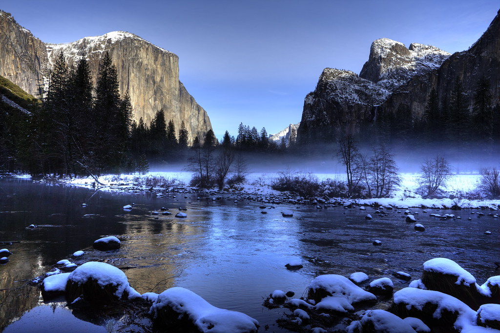
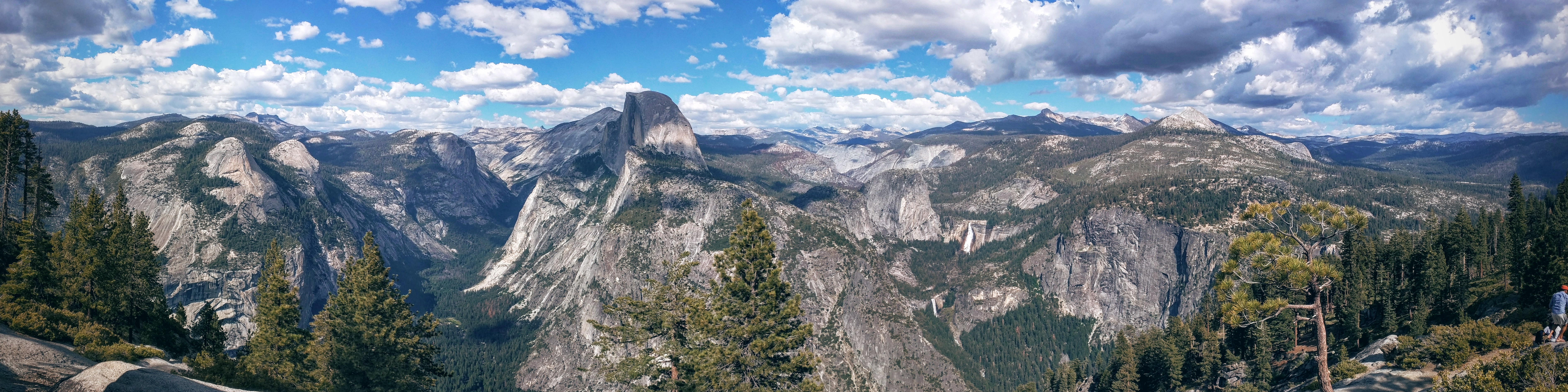
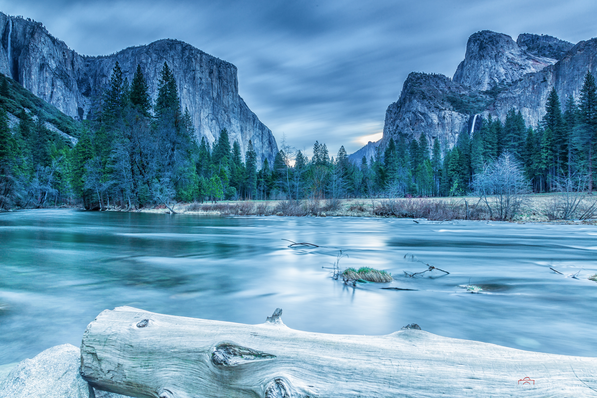
Valley View, Yosemite NP (IMG_2932_tonemapped HDR01_DPP_resized)
Glacier Point
Valley View
Peaceful Valley
Yosemite National Park
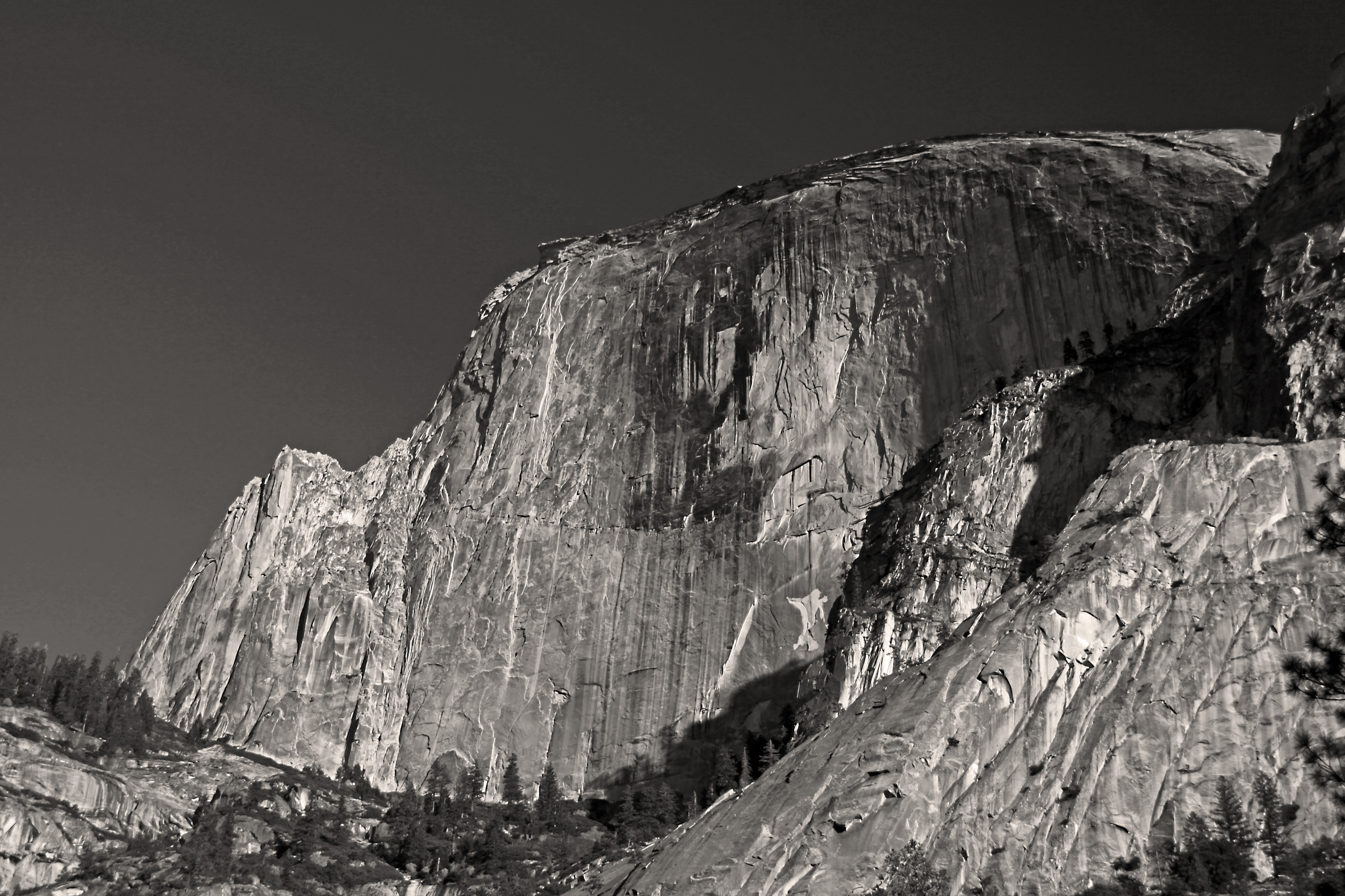
Half Dome From Below
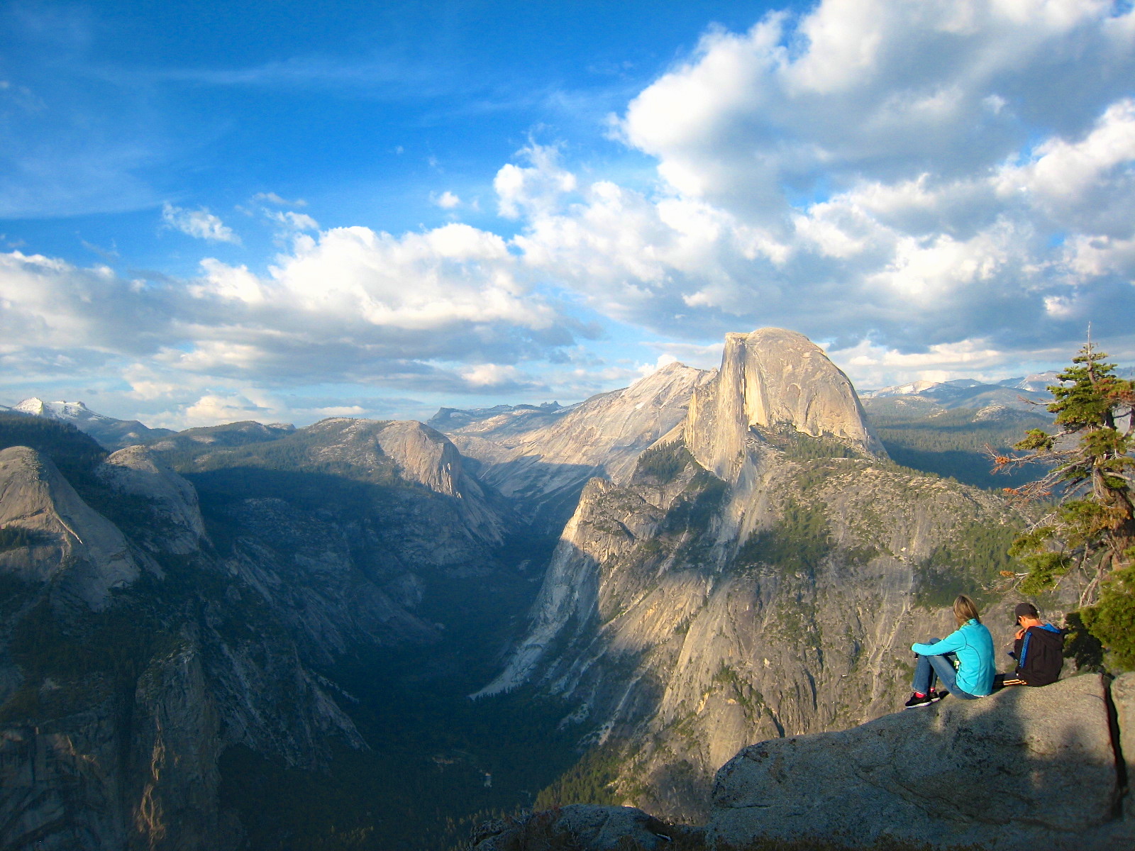
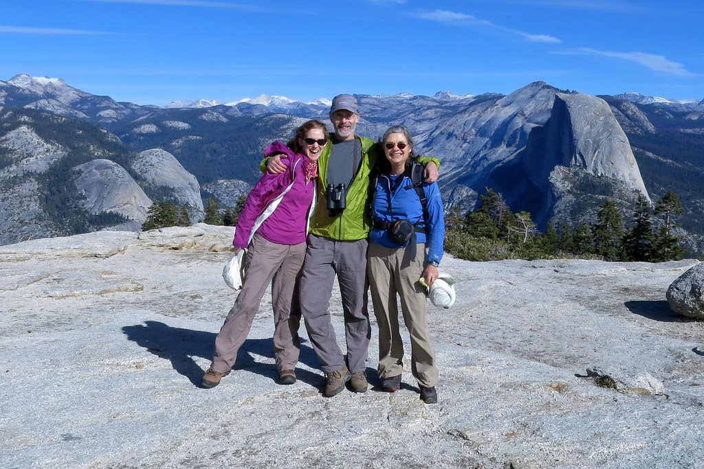
Glacier Point - Half Dome
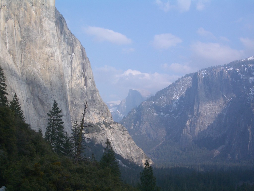
view down the valley to halfdome
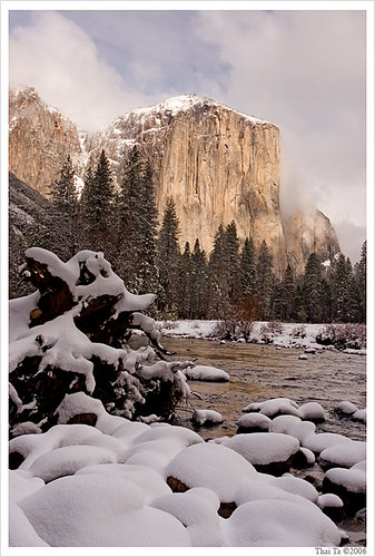
Gateway of the Valley

Strom covered Valley

The view

Glaciar Point, Yosemite
Valley View- Yosemite
Valley View

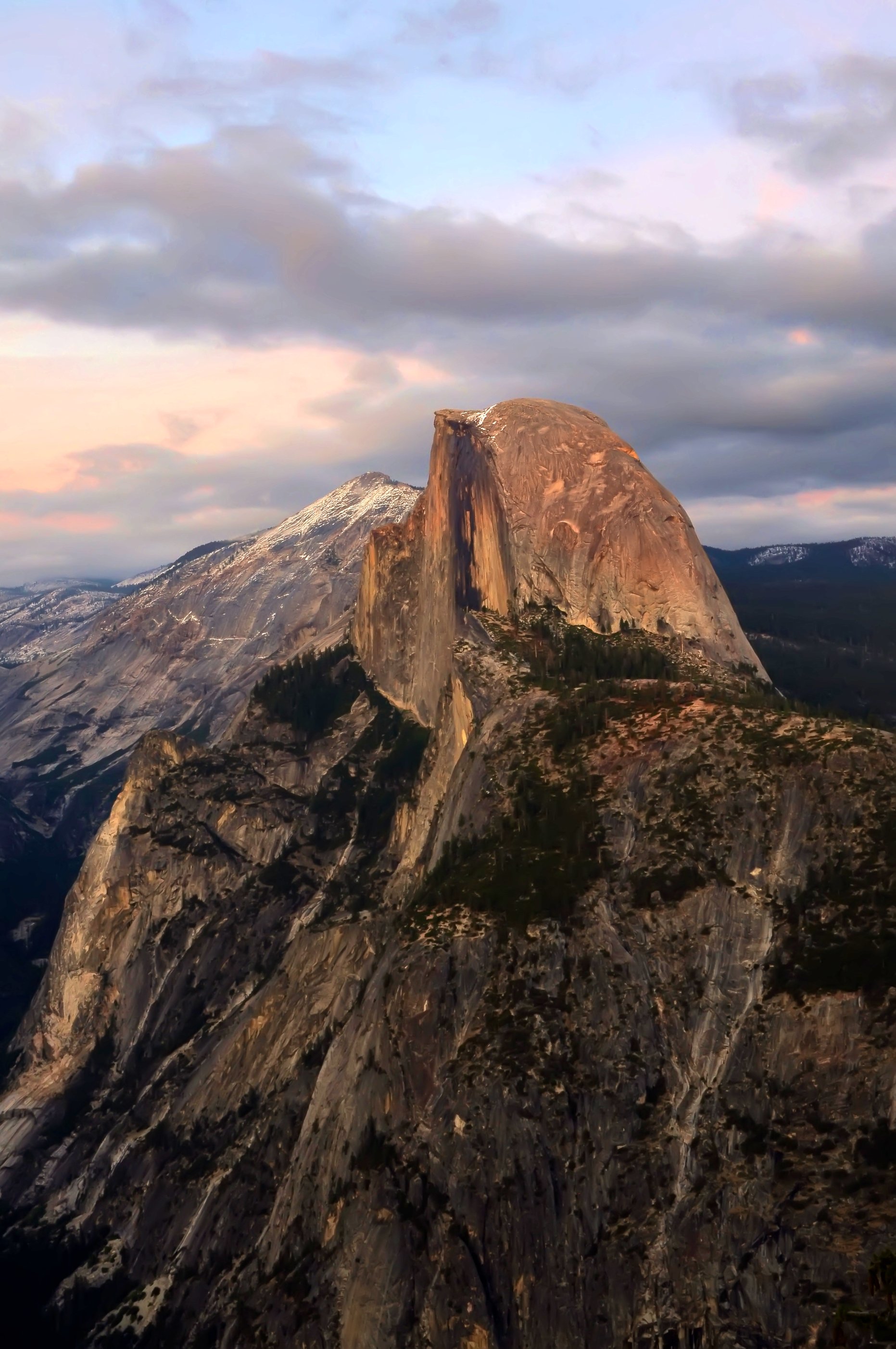
View from Half-Dome, looking north
Top of Sentinel Rock

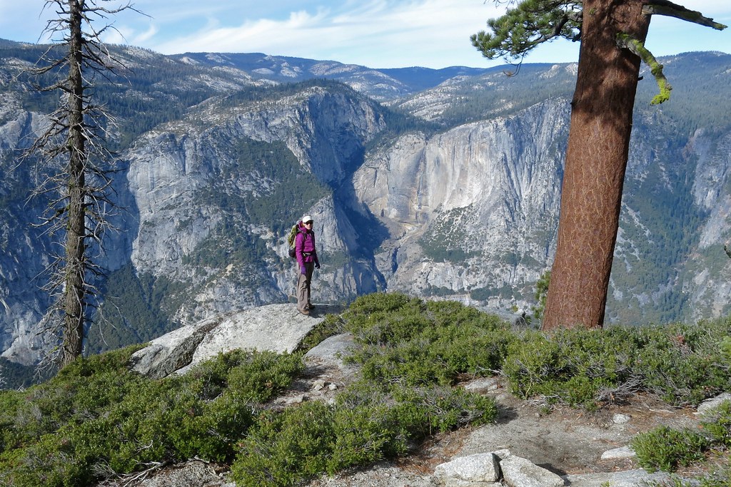
From Taft Point
Yosemite 2014-11-16 at 01-19-41
Yosemite 2014-11-16 at 02-04-14

Yosemite 2014-11-16 at 00-45-45
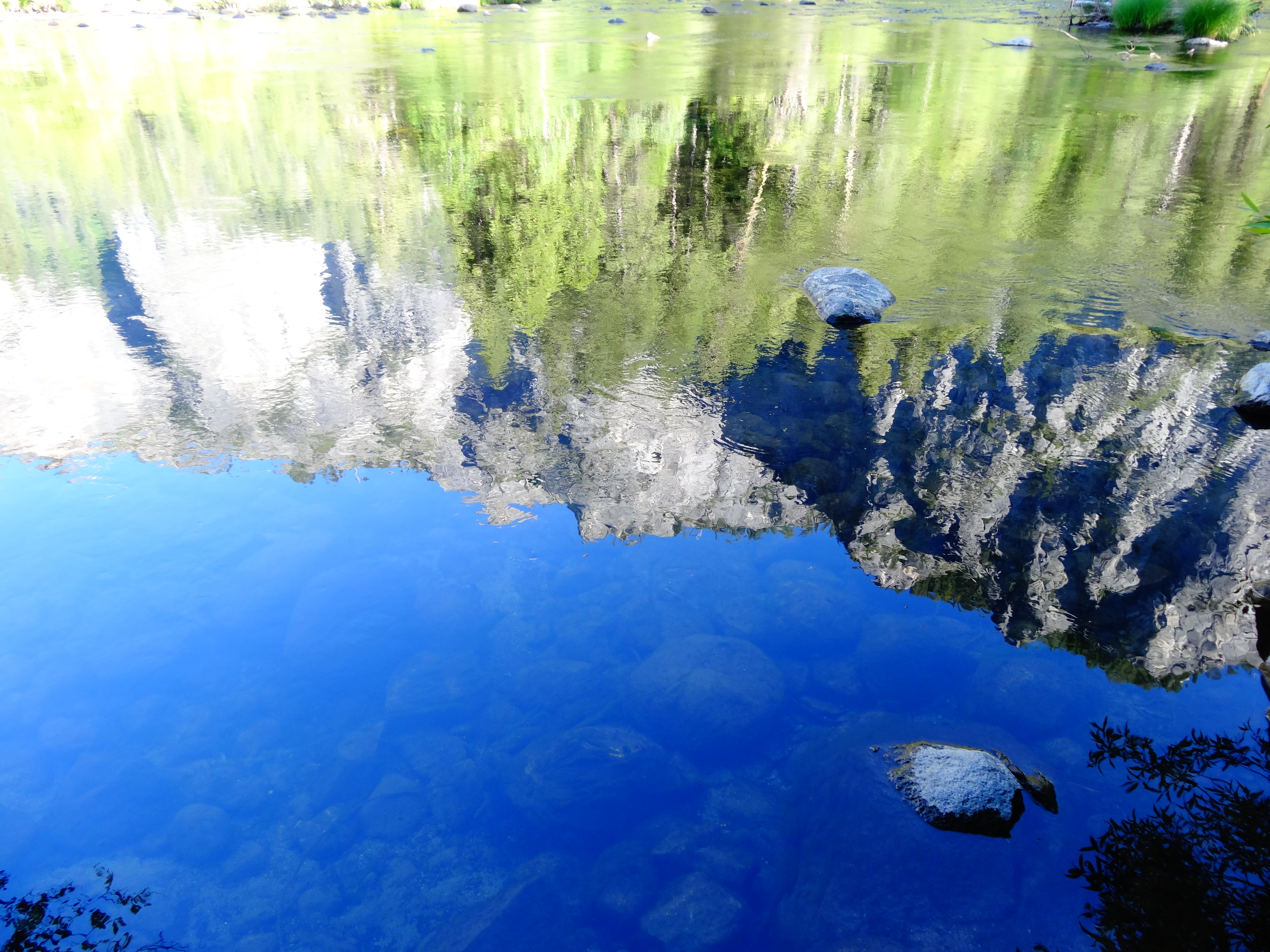
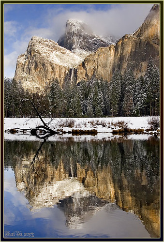
Reflection of Valley
Topographic Map of Horse Ridge, California, USA
Find elevation by address:

Places near Horse Ridge, California, USA:
Raymond Mountain
Racoon Hollow Vacation Rental
North Wawona
Mariposa Grove
7975 Forest Dr
Wawona Way, Wawona, CA, USA
Big Trees Lodge Dining Room
7799 Chilnualna Falls Rd
Wawona
Fish Camp Lane
Fish Camp Lane
Fish Camp
1122 Ca-41
Tenaya Lodge At Yosemite
Battalion Pass
Devil Peak
6155 Chowchilla Mountain Rd
6128 Chowchilla Mountain Rd
Crow Peak
5732 Creel Rd
Recent Searches:
- Elevation of Corso Fratelli Cairoli, 35, Macerata MC, Italy
- Elevation of Tallevast Rd, Sarasota, FL, USA
- Elevation of 4th St E, Sonoma, CA, USA
- Elevation of Black Hollow Rd, Pennsdale, PA, USA
- Elevation of Oakland Ave, Williamsport, PA, USA
- Elevation of Pedrógão Grande, Portugal
- Elevation of Klee Dr, Martinsburg, WV, USA
- Elevation of Via Roma, Pieranica CR, Italy
- Elevation of Tavkvetili Mountain, Georgia
- Elevation of Hartfords Bluff Cir, Mt Pleasant, SC, USA