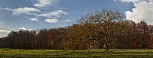
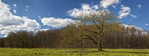
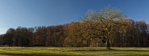
Elevation of Horrem, Kerpen, Germany
Location: Germany > North Rhine-westphalia > Cologne > Kerpen >
Longitude: 6.7106639
Latitude: 50.9110408
Elevation: 76m / 249feet
Barometric Pressure: 100KPa
Related Photos:
Topographic Map of Horrem, Kerpen, Germany
Find elevation by address:

Places near Horrem, Kerpen, Germany:
Merodestraße 2
Merodestraße 90
Merodestraße 90
Im Bendchen 70
Quadrath-ichendorf
Bachstraße 44, Bergheim, Germany
Rhein-erft-kreis
Kerpen
Cologne
Wolfhelmstraße 40, Pulheim, Germany
Mellerhöfe 8, Erftstadt, Germany
Cologne Metropolitan Region
Mittelstraße 4, Erftstadt, Germany
Köttingen
Lindenthal
Sielsdorf
Am Gleueler Bach 9, Hürth, Germany
Müngersdorf
Dr.-Krauß-Straße 7, Hürth, Germany
Hans-Katzer-Straße 37, Köln, Germany
Recent Searches:
- Elevation of Corso Fratelli Cairoli, 35, Macerata MC, Italy
- Elevation of Tallevast Rd, Sarasota, FL, USA
- Elevation of 4th St E, Sonoma, CA, USA
- Elevation of Black Hollow Rd, Pennsdale, PA, USA
- Elevation of Oakland Ave, Williamsport, PA, USA
- Elevation of Pedrógão Grande, Portugal
- Elevation of Klee Dr, Martinsburg, WV, USA
- Elevation of Via Roma, Pieranica CR, Italy
- Elevation of Tavkvetili Mountain, Georgia
- Elevation of Hartfords Bluff Cir, Mt Pleasant, SC, USA

