Elevation of Hopkinton, NY, USA
Location: United States > New York > St. Lawrence County >
Longitude: -74.649773
Latitude: 44.5412136
Elevation: 412m / 1352feet
Barometric Pressure: 96KPa
Elevation Map:
Satellite Map:
Related Photos:

Wild Turkeys

Clouds over the High-Peaks
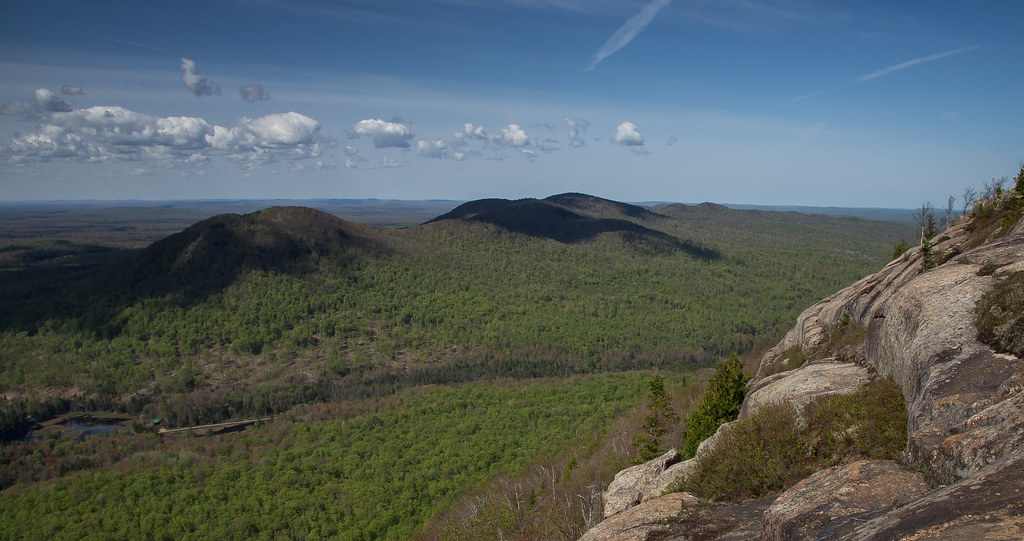
West Mountain

West Mountain

bacon/freud
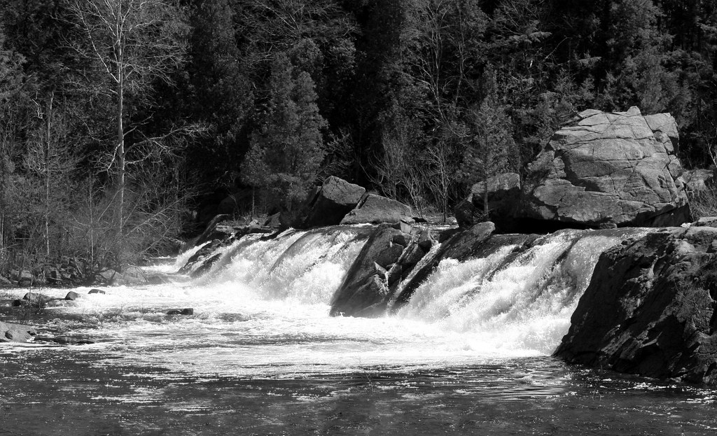
Carry Falls
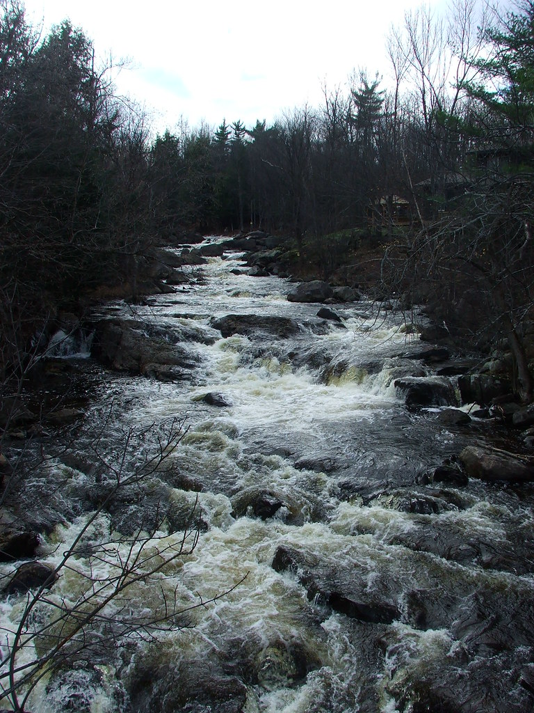
St. Regis River
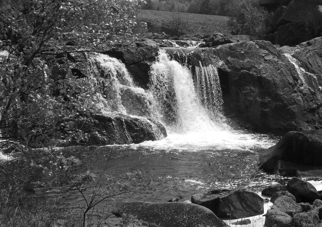
Upper Left section Of Carry Falls

Blue Mtn bog site of Sue's record Somatoclora franklinii
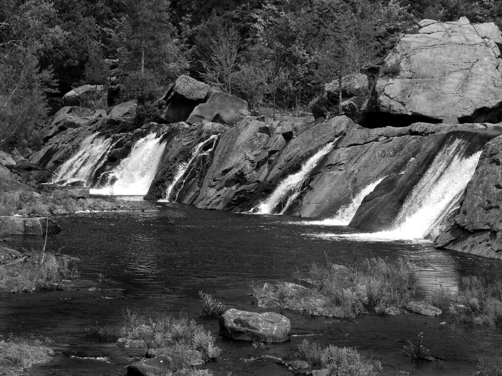
Carry Falls - A Closer Look
Topographic Map of Hopkinton, NY, USA
Find elevation by address:

Places in Hopkinton, NY, USA:
Places near Hopkinton, NY, USA:
Carry Falls Reservoir
Water St, North Lawrence, NY, USA
Nicholville
Hopkinton
1756 S Main St
15 Church St, Nicholville, NY, USA
1168 Raquette River Rd
Campsite Road
Stark Cemetery
Saint Regis Falls
Parishville
Willow Street
Jed S Automobile
Dickinson Center Baptist Church
Dickinson Center
Dickinson Center
Township 7 Brewing Co
1168 3 Falls Ln
Cemetery Road
Dickinson
Recent Searches:
- Elevation of Corso Fratelli Cairoli, 35, Macerata MC, Italy
- Elevation of Tallevast Rd, Sarasota, FL, USA
- Elevation of 4th St E, Sonoma, CA, USA
- Elevation of Black Hollow Rd, Pennsdale, PA, USA
- Elevation of Oakland Ave, Williamsport, PA, USA
- Elevation of Pedrógão Grande, Portugal
- Elevation of Klee Dr, Martinsburg, WV, USA
- Elevation of Via Roma, Pieranica CR, Italy
- Elevation of Tavkvetili Mountain, Georgia
- Elevation of Hartfords Bluff Cir, Mt Pleasant, SC, USA