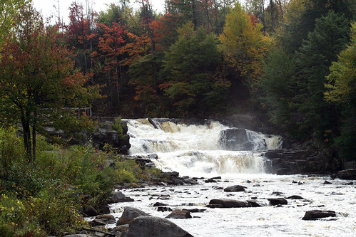
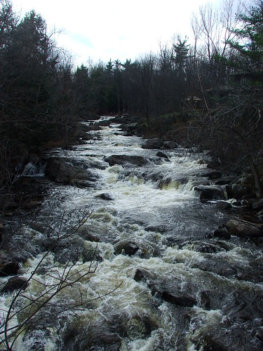
Elevation of Dickinson Center Baptist Church, 34 Church Rd, Dickinson Center, NY, USA
Location: United States > New York > Franklin County > Dickinson Center >
Longitude: -74.550359
Latitude: 44.71354
Elevation: 292m / 958feet
Barometric Pressure: 98KPa
Related Photos:
Topographic Map of Dickinson Center Baptist Church, 34 Church Rd, Dickinson Center, NY, USA
Find elevation by address:

Places near Dickinson Center Baptist Church, 34 Church Rd, Dickinson Center, NY, USA:
Dickinson Center
Dickinson Center
Willow Street
Cemetery Road
Dickinson
Campsite Road
Saint Regis Falls
Township 7 Brewing Co
1756 S Main St
Hazen Rd, Brushton, NY, USA
Moira
Nicholville
Water St, North Lawrence, NY, USA
Lawrence
Mcewen Rd, North Lawrence, NY, USA
Hopkinton
15 Church St, Nicholville, NY, USA
North Lawrence
Jed S Automobile
Brasher Falls
Recent Searches:
- Elevation of Corso Fratelli Cairoli, 35, Macerata MC, Italy
- Elevation of Tallevast Rd, Sarasota, FL, USA
- Elevation of 4th St E, Sonoma, CA, USA
- Elevation of Black Hollow Rd, Pennsdale, PA, USA
- Elevation of Oakland Ave, Williamsport, PA, USA
- Elevation of Pedrógão Grande, Portugal
- Elevation of Klee Dr, Martinsburg, WV, USA
- Elevation of Via Roma, Pieranica CR, Italy
- Elevation of Tavkvetili Mountain, Georgia
- Elevation of Hartfords Bluff Cir, Mt Pleasant, SC, USA
