Elevation of Hopewell Rd, Bedias, TX, USA
Location: United States > Texas > Grimes County > Bedias >
Longitude: -95.792729
Latitude: 30.7383917
Elevation: 112m / 367feet
Barometric Pressure: 100KPa
Elevation Map:
Satellite Map:
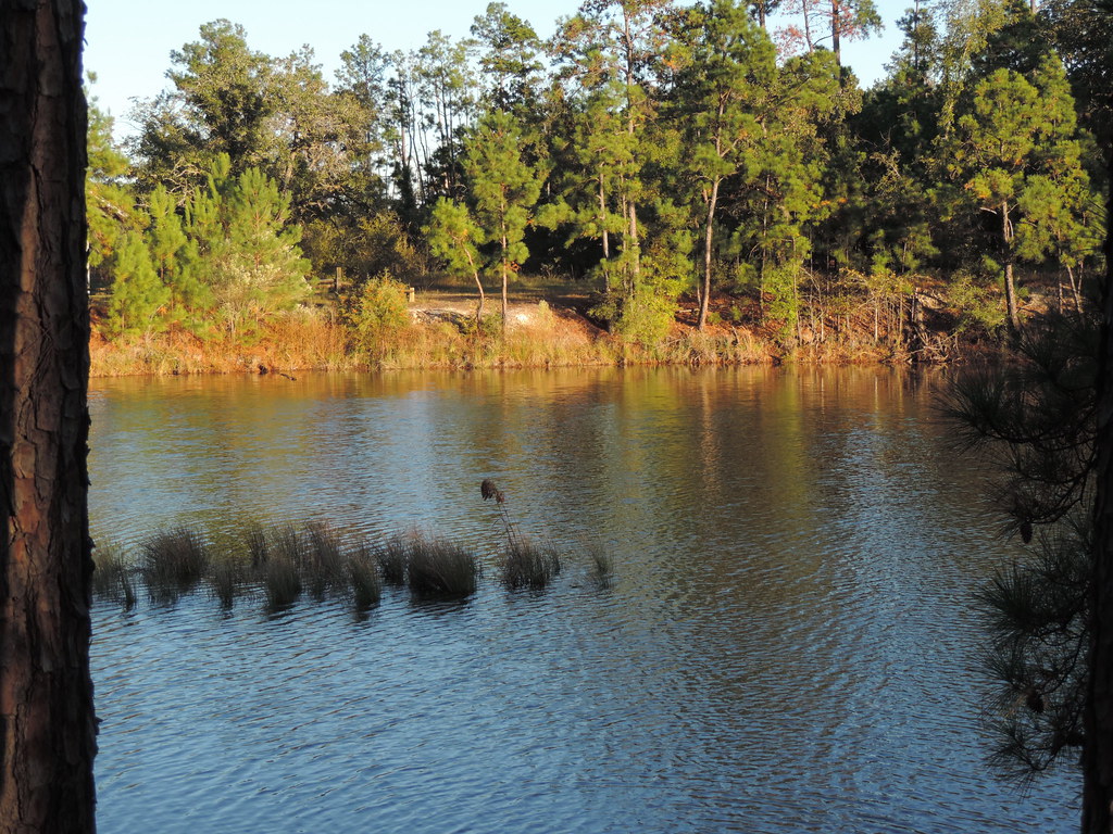
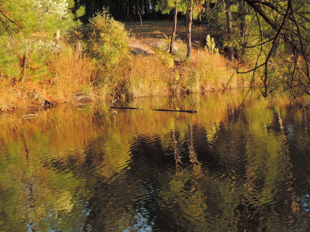
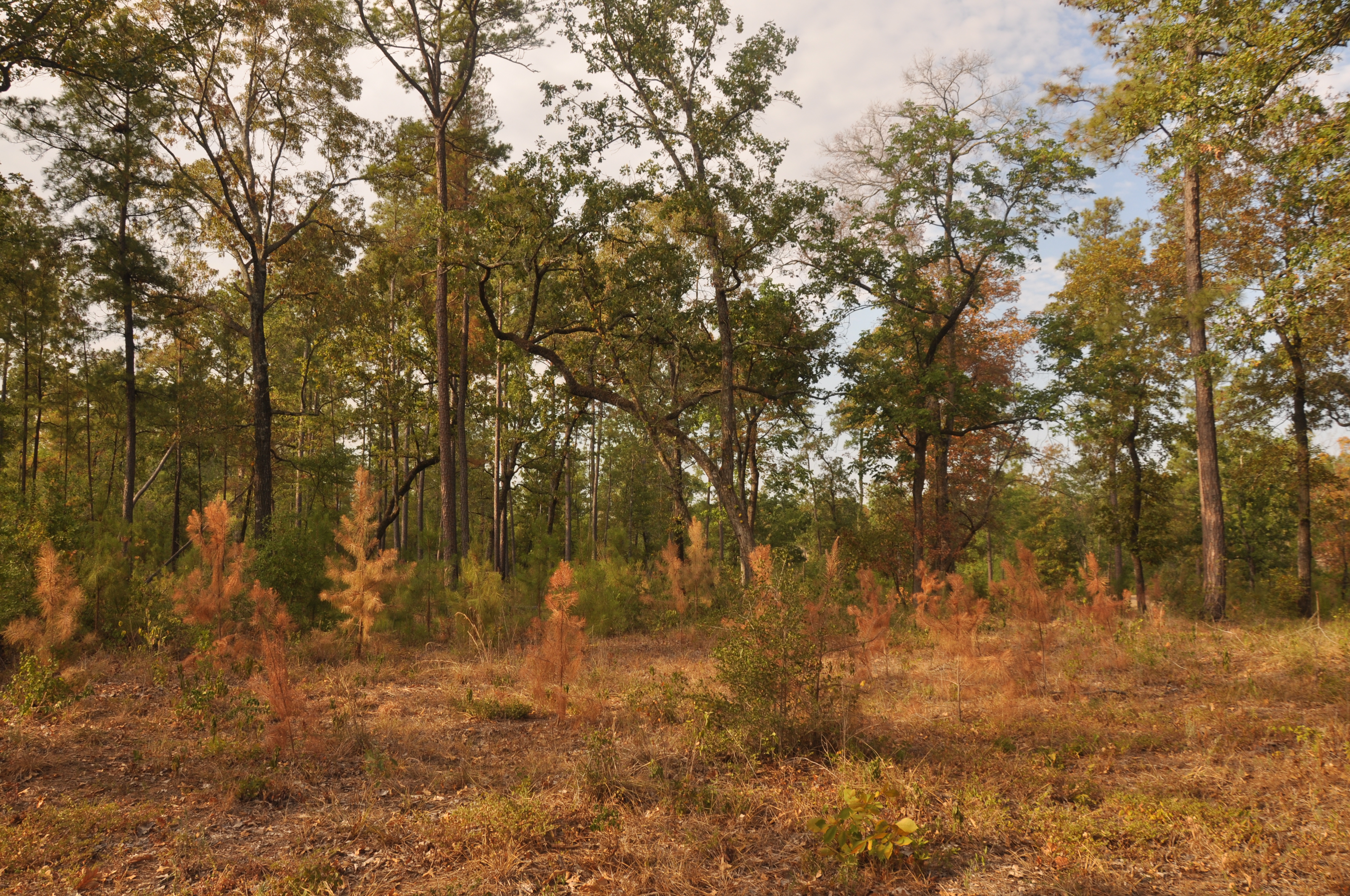
Related Photos:

36 Years
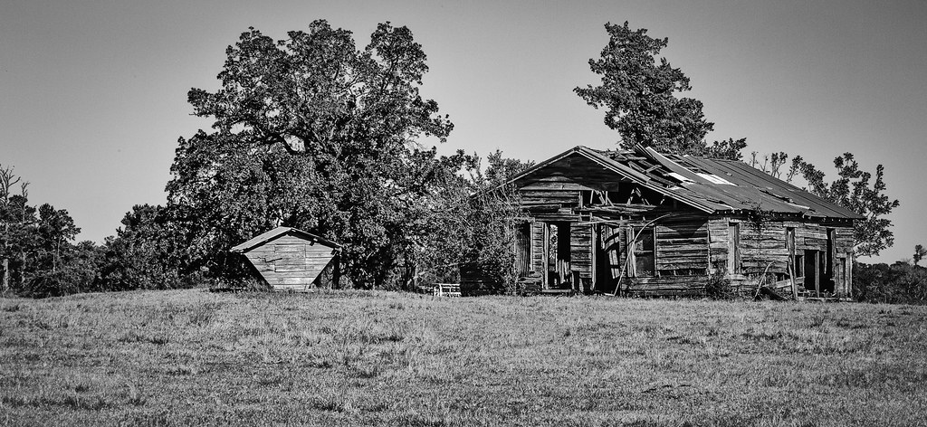
Past Its Prime

Dead Tree

Past the Worst?

A Sunday Sunrise

Five Crosses - Hard Times, Hard Life
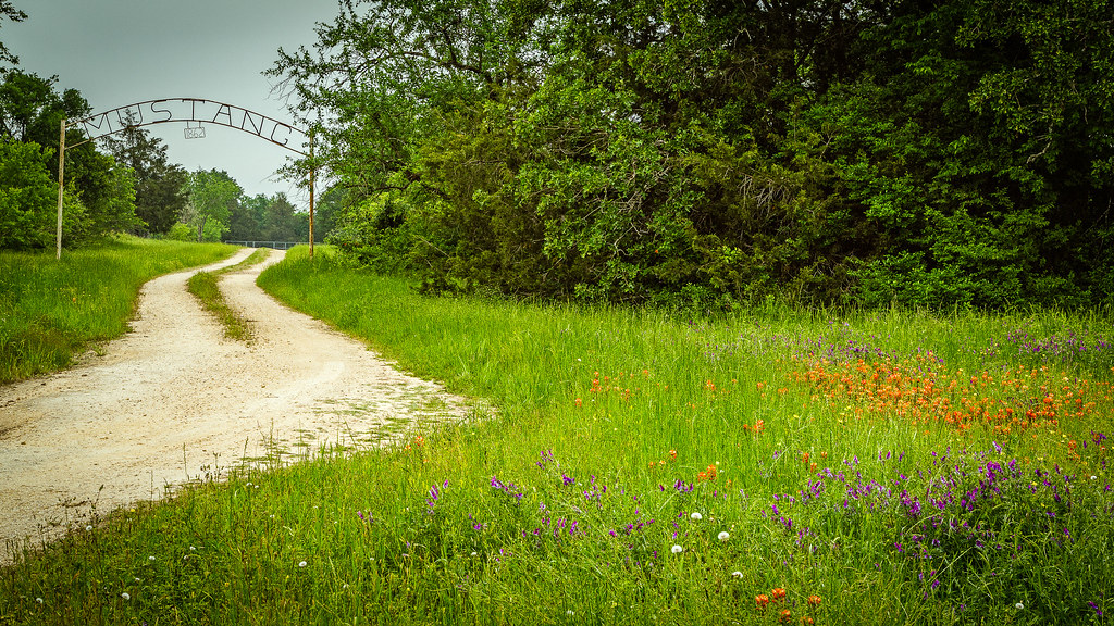
Mustang Cemetery (1862)

17 Acre
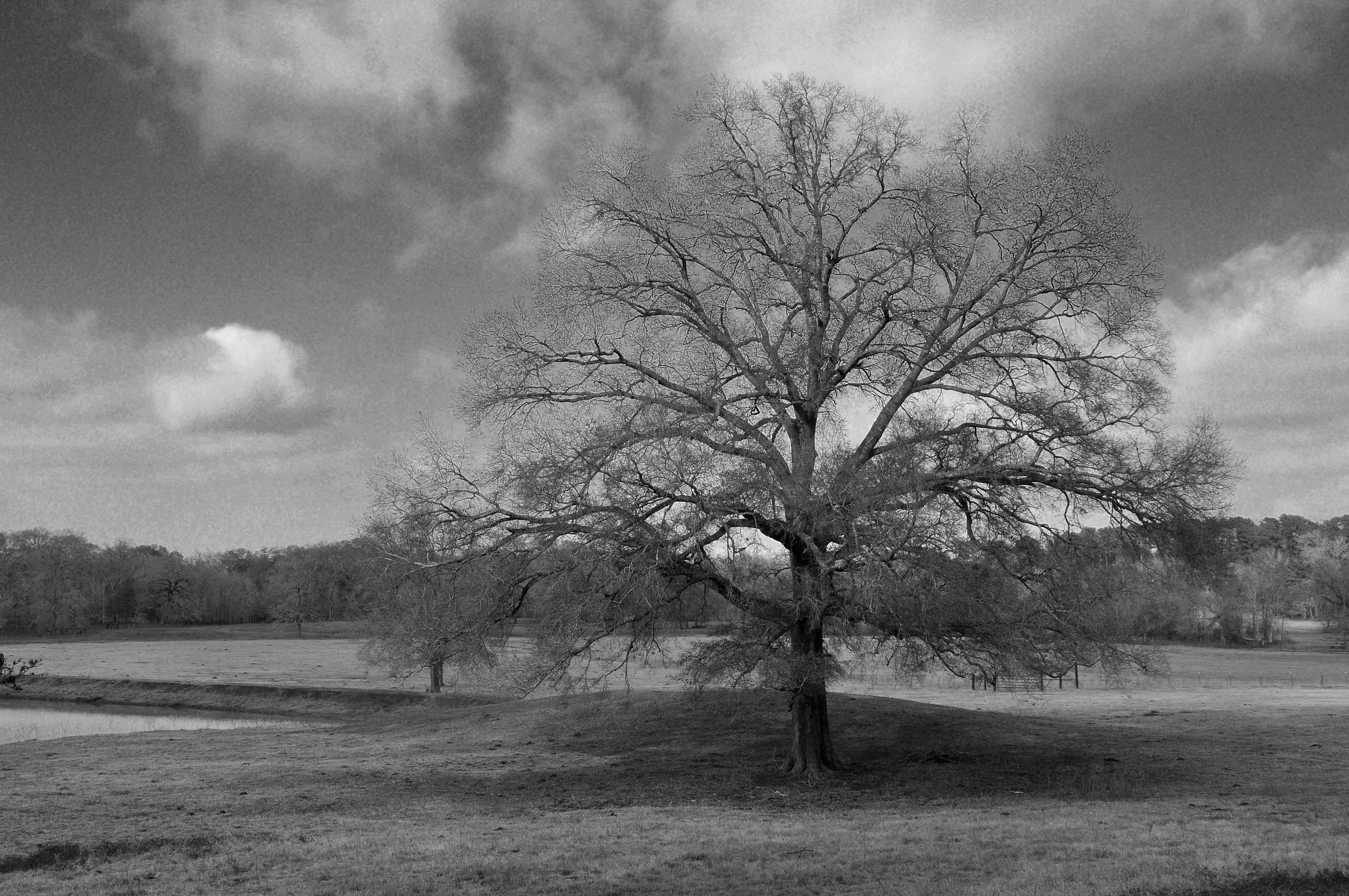
A Tree on a Winter Day
TXDOT Rest Area I45 S

TXDOT Rest Area I45 S
TXDOT Rest Area I45 S
TXDOT Rest Area I45 S

YC2014 Saturday 5
“Once a woman has given you her heart, you can never get rid of the rest of her.”
A Stand of (Dying) Trees

YC2014 Saturday 2

YC2014 Saturday 13

YC2014 Saturday 17

YC2014 Saturday 11

Mustang Cemetery

YC2014 Saturday 25
YC2014 Saturday 22

YC2014 Saturday 20
YC2014 Saturday 23
YC2014 Saturday 21
Topographic Map of Hopewell Rd, Bedias, TX, USA
Find elevation by address:

Places near Hopewell Rd, Bedias, TX, USA:
621 Birdwell Rd
Bishop Road
Farm To Market 1696
U.s. 190
22146 Co Rd 139
25784 Co Rd 131
25784 Co Rd 131
Independence Drive
11115 Independence Dr
23712 Bays Chapel Rd
Walker County
Bedias
21974 Chappel Way
17843 Tx-90
Richards
2426 Co Rd 126
2426 Co Rd 126
2426 Co Rd 126
2426 Co Rd 126
25941 Fawn Forest Rd
Recent Searches:
- Elevation of Corso Fratelli Cairoli, 35, Macerata MC, Italy
- Elevation of Tallevast Rd, Sarasota, FL, USA
- Elevation of 4th St E, Sonoma, CA, USA
- Elevation of Black Hollow Rd, Pennsdale, PA, USA
- Elevation of Oakland Ave, Williamsport, PA, USA
- Elevation of Pedrógão Grande, Portugal
- Elevation of Klee Dr, Martinsburg, WV, USA
- Elevation of Via Roma, Pieranica CR, Italy
- Elevation of Tavkvetili Mountain, Georgia
- Elevation of Hartfords Bluff Cir, Mt Pleasant, SC, USA