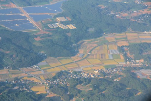
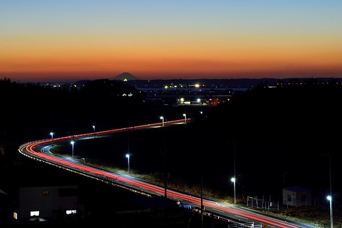
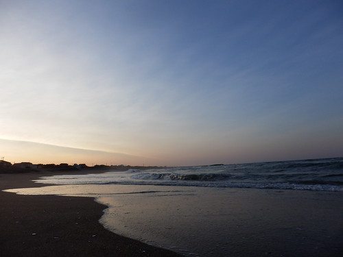
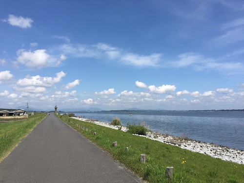
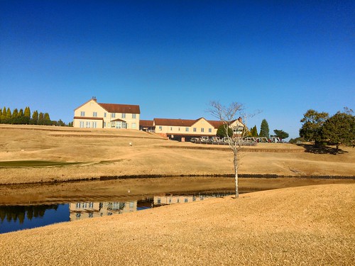
Elevation of Hokota, Ibaraki Prefecture, Japan
Location: Japan > Ibaraki Prefecture >
Longitude: 140.516461
Latitude: 36.15864
Elevation: 23m / 75feet
Barometric Pressure: 101KPa
Related Photos:
Topographic Map of Hokota, Ibaraki Prefecture, Japan
Find elevation by address:

Places in Hokota, Ibaraki Prefecture, Japan:
Places near Hokota, Ibaraki Prefecture, Japan:
Obata, Namegata-shi, Ibaraki-ken -, Japan
Shimoōta, Hokota-shi, Ibaraki-ken -, Japan
Kamiishizaki, Ibaraki-machi, Higashiibaraki-gun, Ibaraki-ken -, Japan
-6 Kazu, Kashima-shi, Ibaraki-ken -, Japan
Ōnukichō, Ōarai-machi, Higashiibaraki-gun, Ibaraki-ken -, Japan
Ibaraki
Oarai
-2 Isohamachō, Ōarai-machi, Higashiibaraki-gun, Ibaraki-ken -, Japan
Gotanda, Ōarai-machi, Higashiibaraki-gun, Ibaraki-ken -, Japan
Isohamachō, Ōarai-machi, Higashiibaraki-gun, Ibaraki-ken -, Japan
Isohamachō, Ōarai-machi, Higashiibaraki-gun, Ibaraki-ken -, Japan
-75 Isohamachō, Ōarai-machi, Higashiibaraki-gun, Ibaraki-ken -, Japan
Ibaraki Prefecture
Kasumigaura
Ushibori
Ushibori Chuo
1 Chome-4-1 Chūō, Mito-shi, Ibaraki-ken -, Japan
Mito
Itako
Sukaminami, Itako-shi, Ibaraki-ken -, Japan
Recent Searches:
- Elevation of Corso Fratelli Cairoli, 35, Macerata MC, Italy
- Elevation of Tallevast Rd, Sarasota, FL, USA
- Elevation of 4th St E, Sonoma, CA, USA
- Elevation of Black Hollow Rd, Pennsdale, PA, USA
- Elevation of Oakland Ave, Williamsport, PA, USA
- Elevation of Pedrógão Grande, Portugal
- Elevation of Klee Dr, Martinsburg, WV, USA
- Elevation of Via Roma, Pieranica CR, Italy
- Elevation of Tavkvetili Mountain, Georgia
- Elevation of Hartfords Bluff Cir, Mt Pleasant, SC, USA
