Elevation of Hock Mountain, Washington, USA
Location: United States > Washington > Winthrop >
Longitude: -120.66593
Latitude: 48.451248
Elevation: 2285m / 7497feet
Barometric Pressure: 77KPa
Elevation Map:
Satellite Map:
Related Photos:
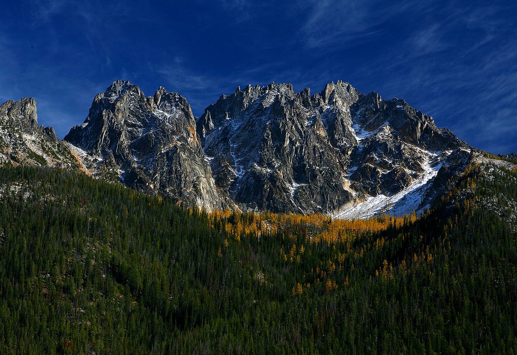
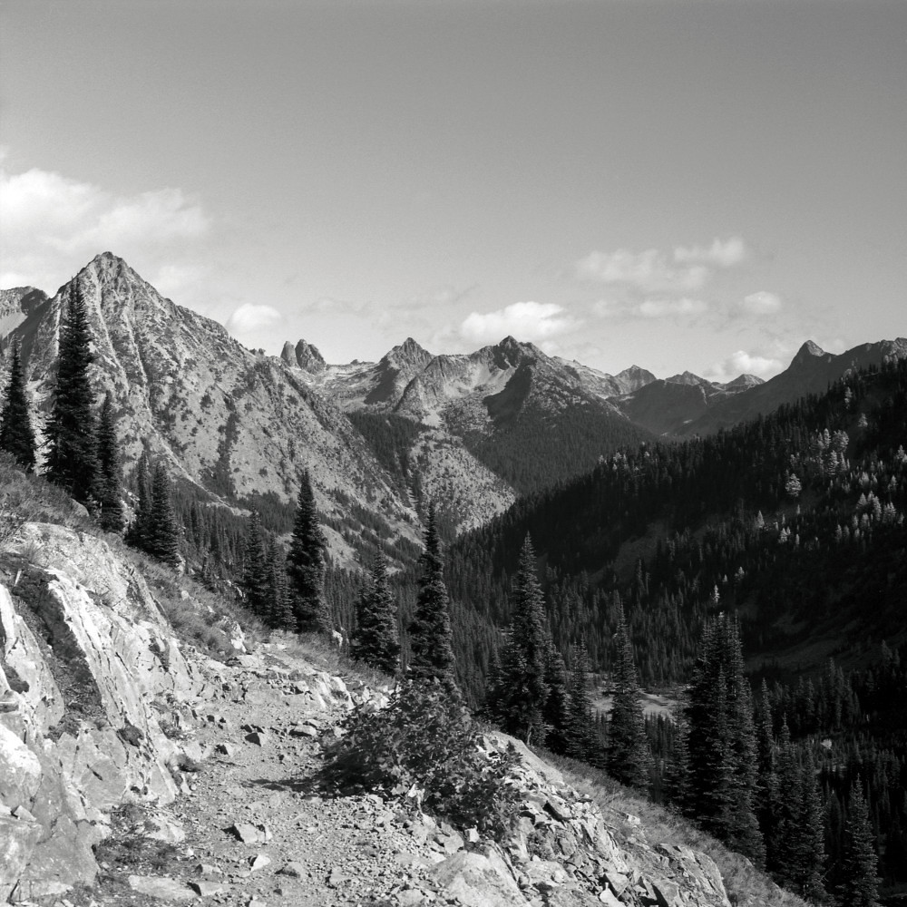
Liberty Bell Peaks

Tamarack reflected Blue Lake

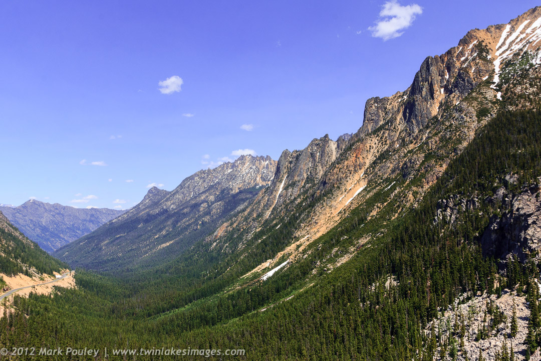
Avalanches on SR 20 below Liberty Bell

Blue Lake, tamarack, Cutthroat Pk
The view from Liberty Bell 3 towards Liberty Bell 1 and 2

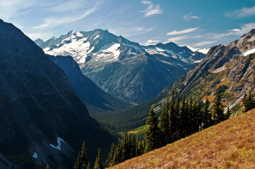
View from Pacific Crest Trail Cutthroat Pass
Liberty Bell Mountain

View from Pacific Crest Trail Cutthroat Pass
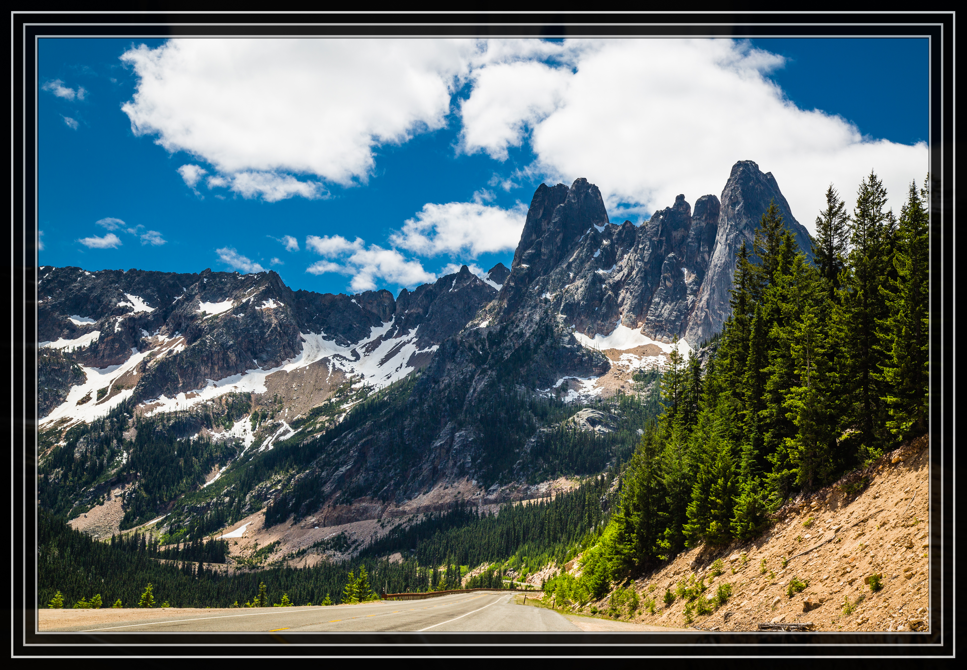
Washington Pass Overlook

View from Blue Lake trail in Okanogan National Forest

IMG_8156-69

2015 - Washington State - North Cascade Mtns
North Cascade Highway
Early Winters South Spires
Looking Towards Logan
Washington Pass, North Cascades National Park
The view from here is quite nice

Avalanches on SR 20 below Liberty Bell

A nice view of the hairpin curve from the Liberty Bell avalanche zone
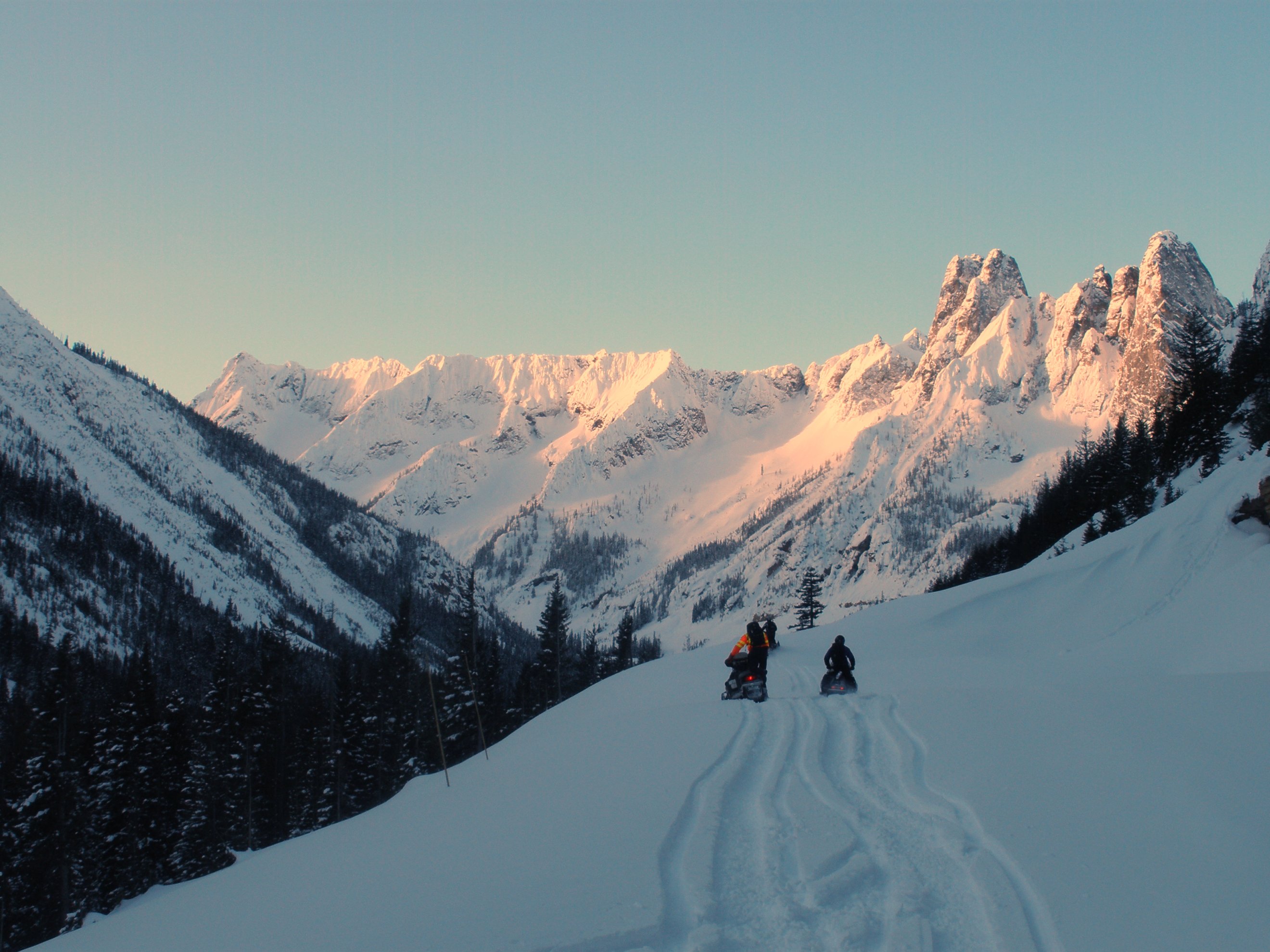
North Cascades Highway - Snow 20 feet deep at Cutthroat Ridge avalanche chutes 6, 7, 8

Snow and avalanches bury the highway in the Liberty Bell avalanche zone
Topographic Map of Hock Mountain, Washington, USA
Find elevation by address:

Places near Hock Mountain, Washington, USA:
Twisp Mountain
Stiletto Peak
Rainbow Ridge East
Lincoln Butte
Mcalester Mountain
Early Winters Spires South
Crescent Mountain
Washington Pass
Bowan Mountain
Kangaroo Ridge
Hinkhouse Peak
Gilbert Mountain
Rainy Pass Trailhead
Snagtooth Ridge
Rainbow Falls Picnic Area
Silver Star Mountain
Purple Mountain
Vasiliki Ridge
Corteo Peak
South Creek Campground
Recent Searches:
- Elevation of Corso Fratelli Cairoli, 35, Macerata MC, Italy
- Elevation of Tallevast Rd, Sarasota, FL, USA
- Elevation of 4th St E, Sonoma, CA, USA
- Elevation of Black Hollow Rd, Pennsdale, PA, USA
- Elevation of Oakland Ave, Williamsport, PA, USA
- Elevation of Pedrógão Grande, Portugal
- Elevation of Klee Dr, Martinsburg, WV, USA
- Elevation of Via Roma, Pieranica CR, Italy
- Elevation of Tavkvetili Mountain, Georgia
- Elevation of Hartfords Bluff Cir, Mt Pleasant, SC, USA