Elevation of Hořejší Těšov, 01 Hartmanice, Czech Republic
Location: Czech Republic > Plzeň Region > Klatovy District > Hartmanice >
Longitude: 13.4315079
Latitude: 49.1834567
Elevation: 756m / 2480feet
Barometric Pressure: 93KPa
Elevation Map:
Satellite Map:
Related Photos:

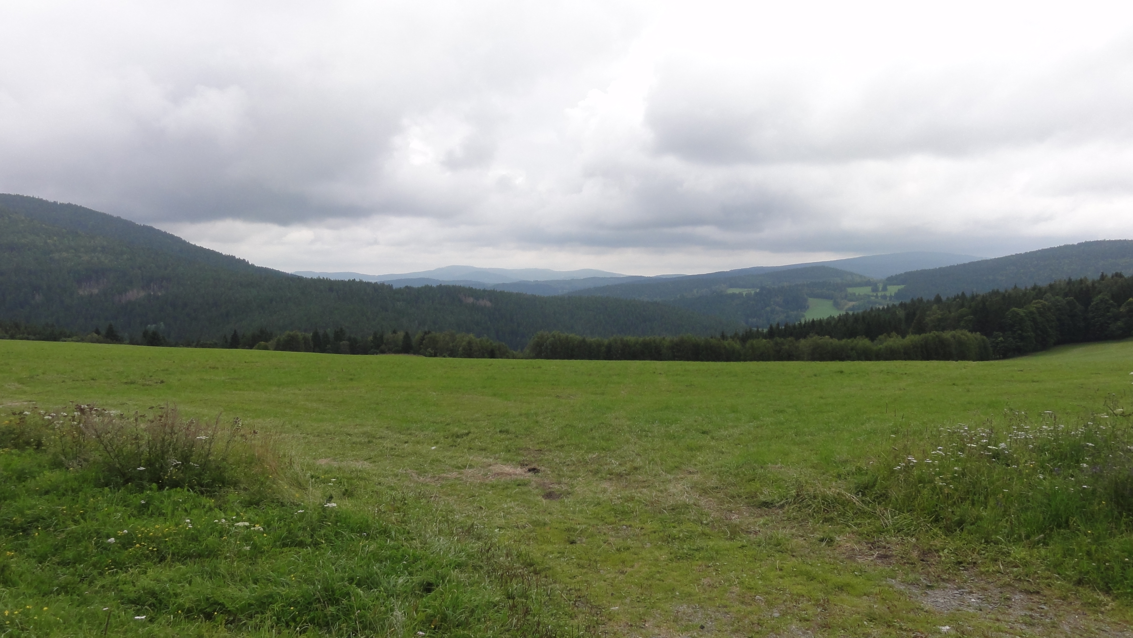
Landscape Photography
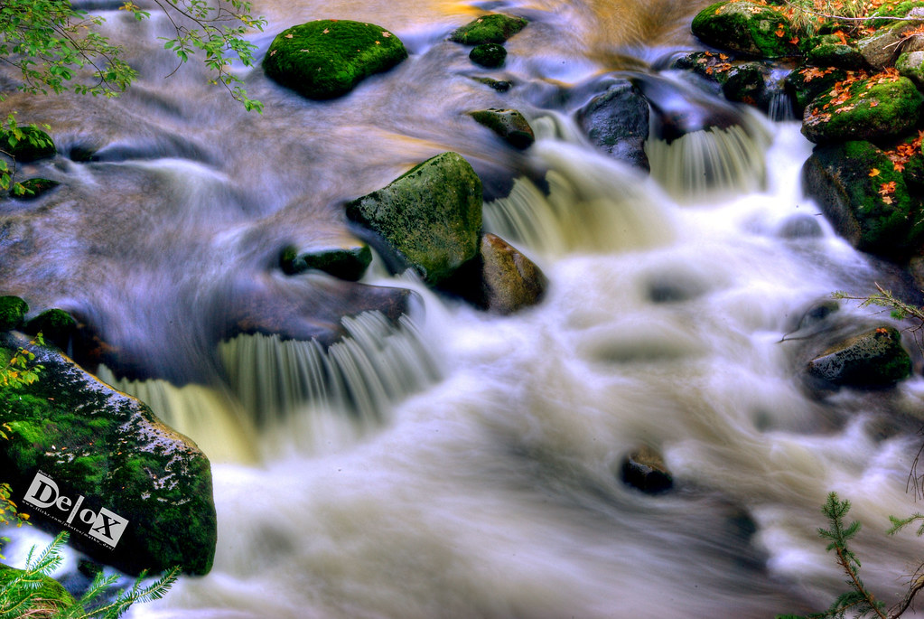
"Šumava" Cascade

Landscape Photography
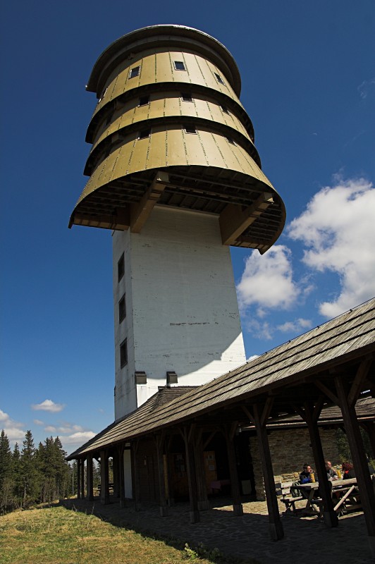
Poledník Lookout Tower
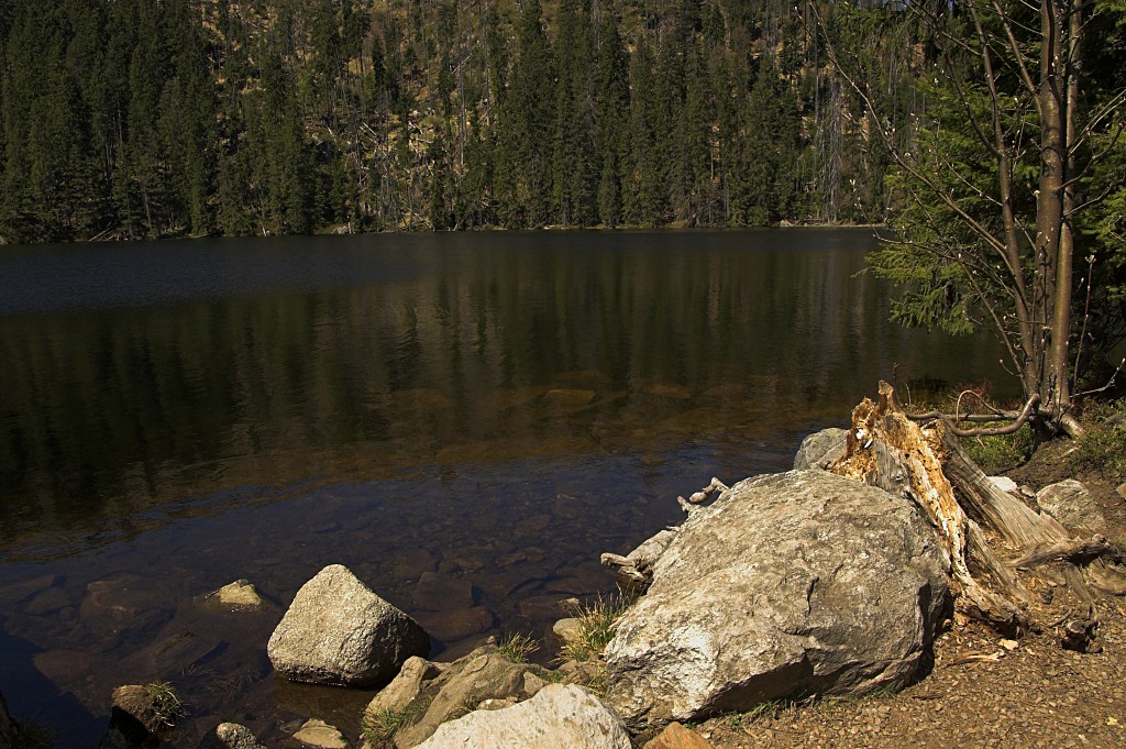
Prášilské Jezero (Prasily Lake)
coffee time view

Benni 545

Landscape Photography

Landscape Photography

Landscape Photography

Landscape Photography

Landscape Photography

Landscape Photography

Landscape Photography

Landscape Photography

Landscape Photography

Landscape Photography

Sunny Autumn in Šumava

Three suns

Landscape Photography

Forest River Photography

Forest Photography

Landscape Photography

Landscape Photography

Landscape Photography
Kašperské hory
Topographic Map of Hořejší Těšov, 01 Hartmanice, Czech Republic
Find elevation by address:

Places in Hořejší Těšov, 01 Hartmanice, Czech Republic:
Places near Hořejší Těšov, 01 Hartmanice, Czech Republic:
Javoří 6, 01 Hartmanice, Czech Republic
Javoří
Hartmanice
Hořejší Těšov 32, 01 Hartmanice, Czech Republic
Štěpanice 51, 01 Hartmanice, Czech Republic
Štěpanice
Srní
Kašperské Hory, 92 Kašperské Hory, Czech Republic
Kašperské Hory
Vchynice-tetov I
Vchynice-Tetov I 98, 92 Srní, Czech Republic
Vchynice-tetov Ii
Vchynice-Tetov II 22, 92 Modrava, Czech Republic
Modrava
Železná Ruda
Strašín
Věštín 2, 01 Strašín, Czech Republic
Věštín
Bayerisch Eisenstein
Dorfstraße 2, Bayerisch Eisenstein, Germany
Recent Searches:
- Elevation of Corso Fratelli Cairoli, 35, Macerata MC, Italy
- Elevation of Tallevast Rd, Sarasota, FL, USA
- Elevation of 4th St E, Sonoma, CA, USA
- Elevation of Black Hollow Rd, Pennsdale, PA, USA
- Elevation of Oakland Ave, Williamsport, PA, USA
- Elevation of Pedrógão Grande, Portugal
- Elevation of Klee Dr, Martinsburg, WV, USA
- Elevation of Via Roma, Pieranica CR, Italy
- Elevation of Tavkvetili Mountain, Georgia
- Elevation of Hartfords Bluff Cir, Mt Pleasant, SC, USA