Elevation map of Plzeň Region, Czech Republic
Location: Czech Republic >
Longitude: 13.3157246
Latitude: 49.4134812
Elevation: 395m / 1296feet
Barometric Pressure: 97KPa
Elevation Map:
Satellite Map:
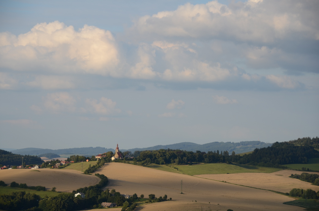
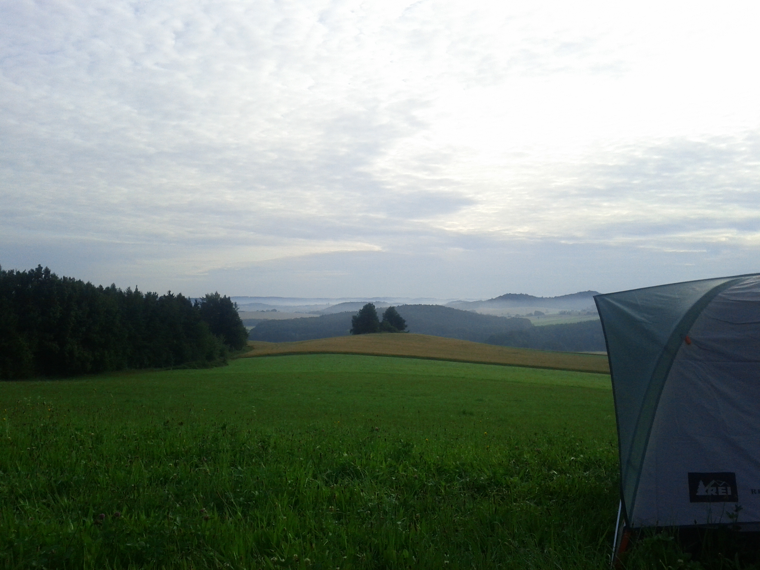
Related Photos:

no reason to roam

Autumn Fall Photography

Window View
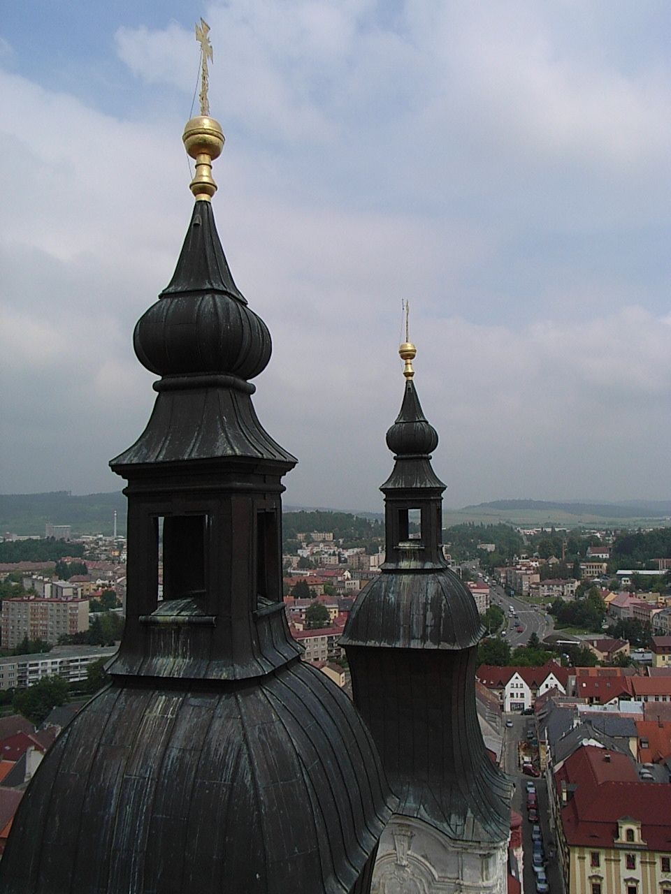
Klatovy Tower View
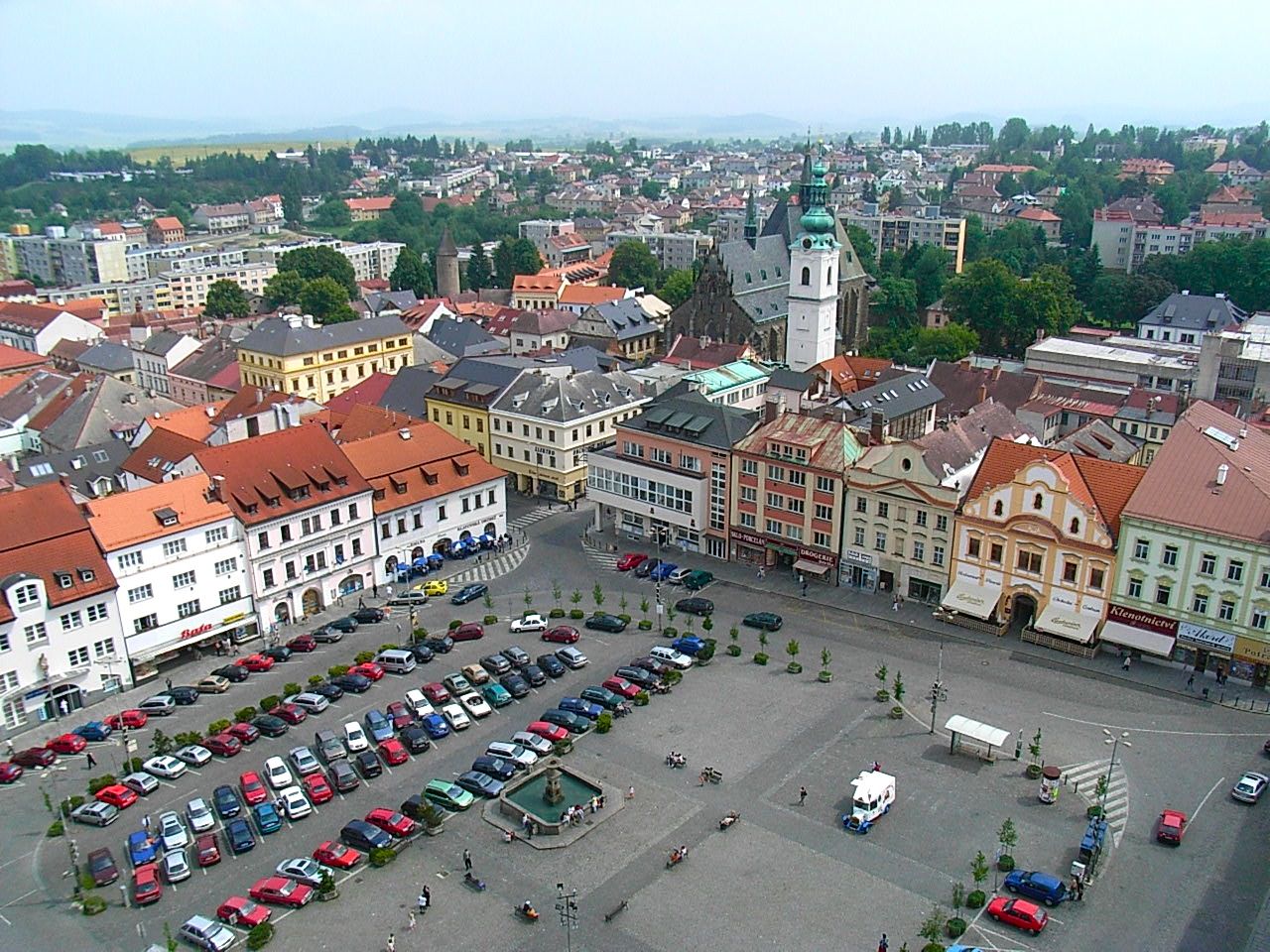
Klatovy Tower View
087-img_3734
view from castle Klenová
Czech Out View
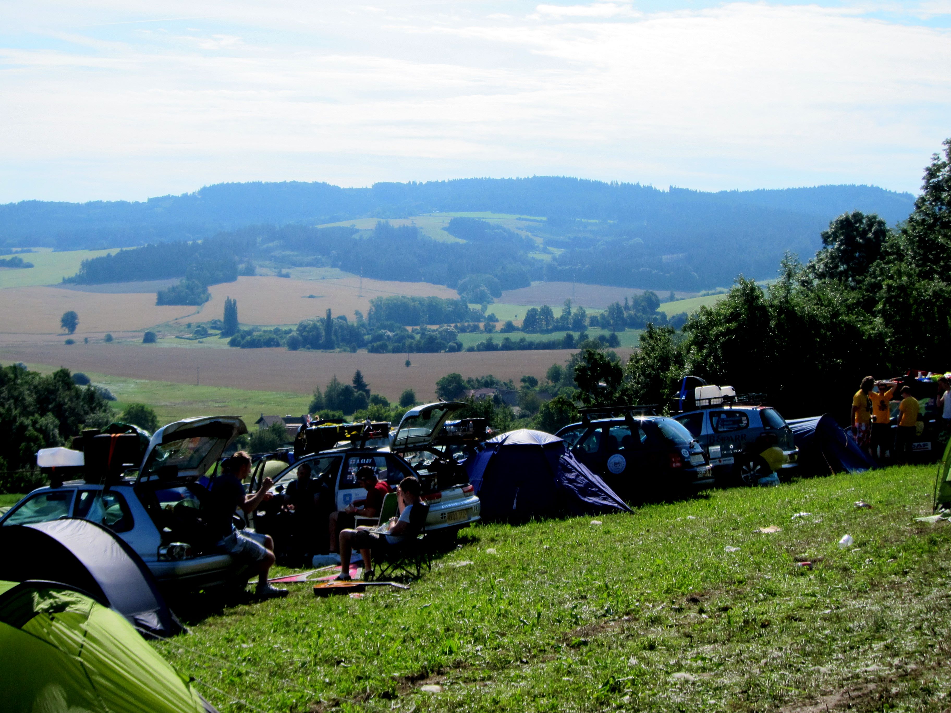
Woke up to this view #mongolrally

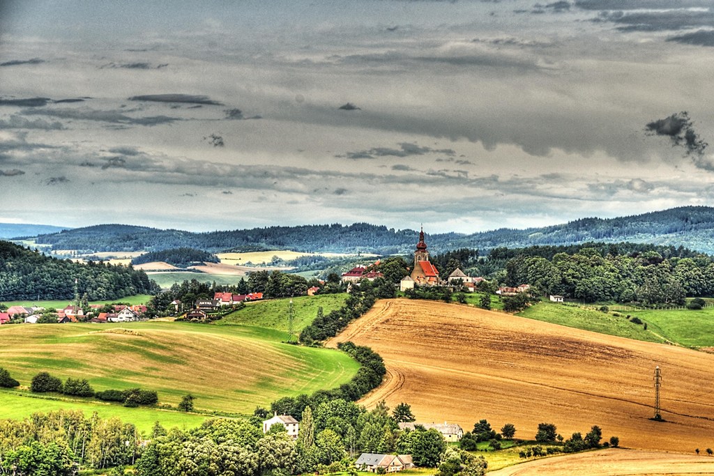
Landscape Fog Photography

Landscape Photography

Landscape Fog Photography

Landscape Fog Photography

Landscape Photography

Landscape Fog Photography

Landscape Fog Photography

Autumn / Fall / Walk

Alley / Road

Autumn Landscape / Castle

Landscape Fog Photography
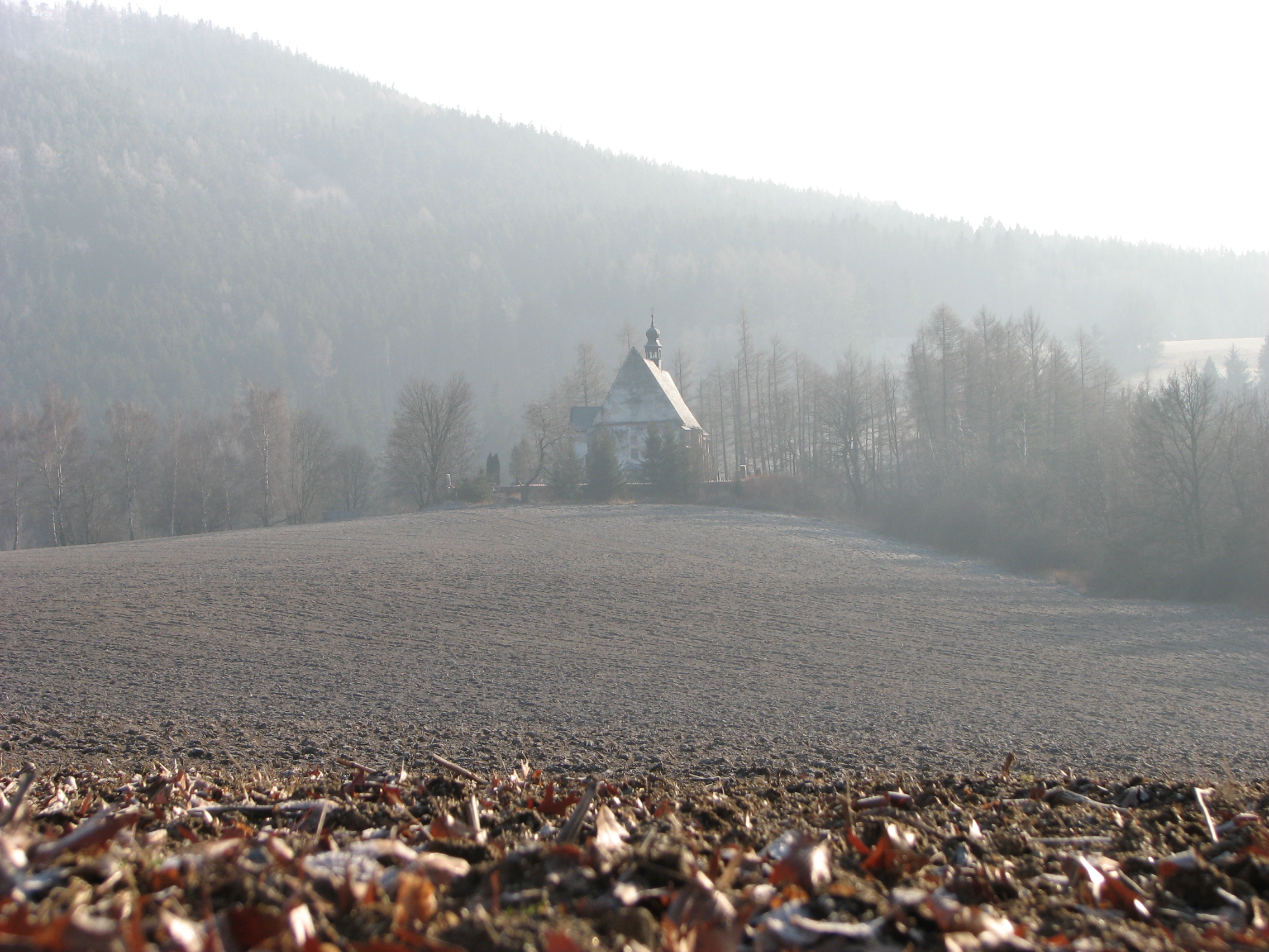
Remote church near Velhartice
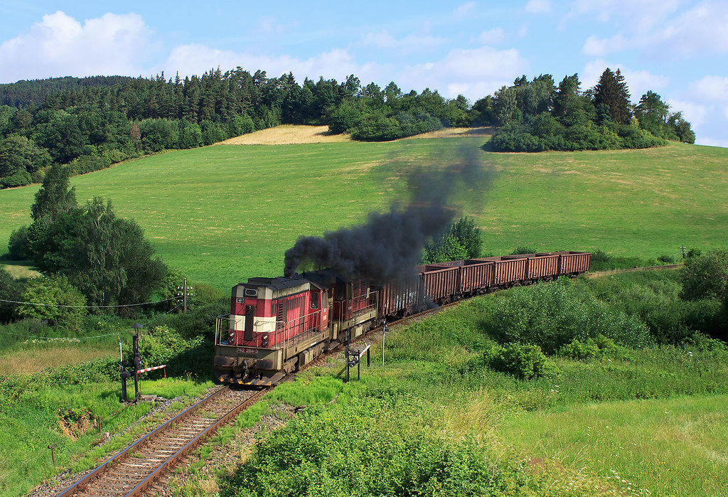
742.284 + 742.206 ČDC
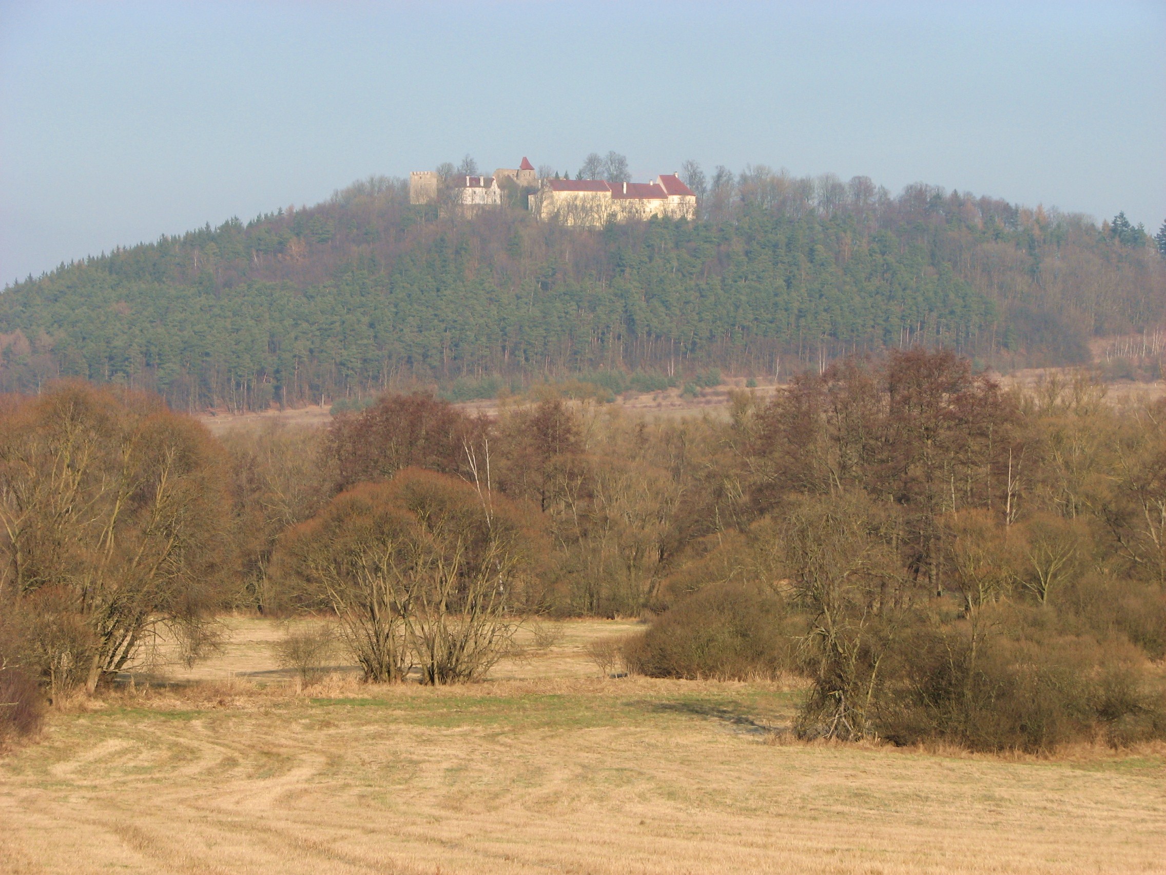
Klenova Castle

Landscape Photography

Landscape Fog Photography

Landscape Fog Photography

Landscape Photography

Landscape Photography
Topographic Map of Plzeň Region, Czech Republic
Find elevation by address:

Places in Plzeň Region, Czech Republic:
Klatovy District
Plzeň-north District
Plzeň-jih
Tachov District
Domažlice District
Plzeň-city District
Places near Plzeň Region, Czech Republic:
Hráz 13, 12 Měčín, Czech Republic
Hráz
Švihov
Kaliště
Kaliště 19, 12 Švihov, Czech Republic
Měčín
Klatovy District
Vracov
Vracov 1, 34 Plánice, Czech Republic
Býšov
Býšov 4, 12 Chudenice, Czech Republic
Čachrov
Chudenice
Plánice
Přeštice
Vícov, 01 Přeštice, Czech Republic
Hnačov
Hnačov 73, 34 Hnačov, Czech Republic
Javorná 10, 01 Čachrov, Czech Republic
Javorná
Recent Searches:
- Elevation of Corso Fratelli Cairoli, 35, Macerata MC, Italy
- Elevation of Tallevast Rd, Sarasota, FL, USA
- Elevation of 4th St E, Sonoma, CA, USA
- Elevation of Black Hollow Rd, Pennsdale, PA, USA
- Elevation of Oakland Ave, Williamsport, PA, USA
- Elevation of Pedrógão Grande, Portugal
- Elevation of Klee Dr, Martinsburg, WV, USA
- Elevation of Via Roma, Pieranica CR, Italy
- Elevation of Tavkvetili Mountain, Georgia
- Elevation of Hartfords Bluff Cir, Mt Pleasant, SC, USA