Elevation of Hilt, CA, USA
Location: United States > California > Siskiyou County >
Longitude: -122.62336
Latitude: 41.994859
Elevation: 886m / 2907feet
Barometric Pressure: 91KPa
Elevation Map:
Satellite Map:
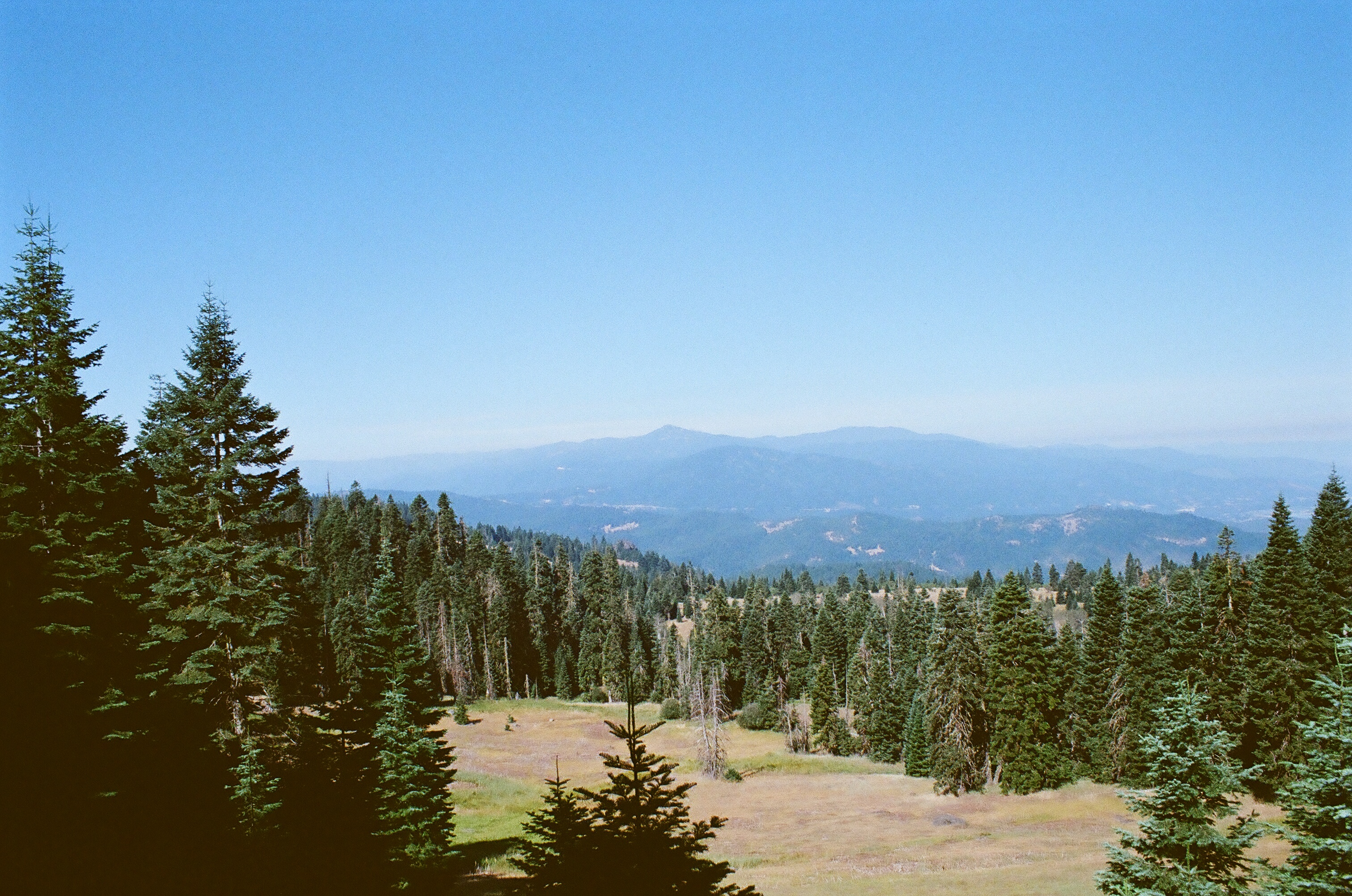
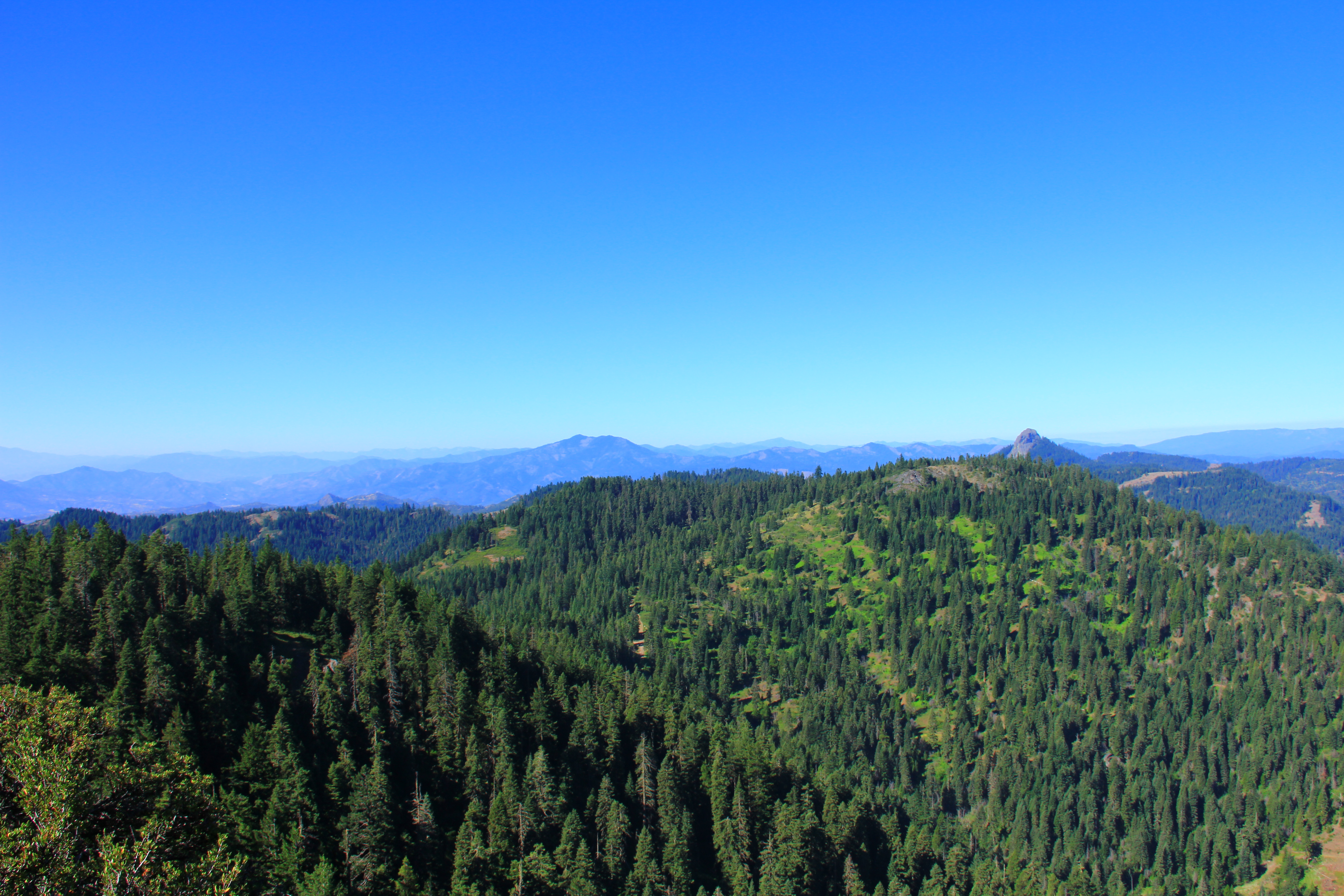
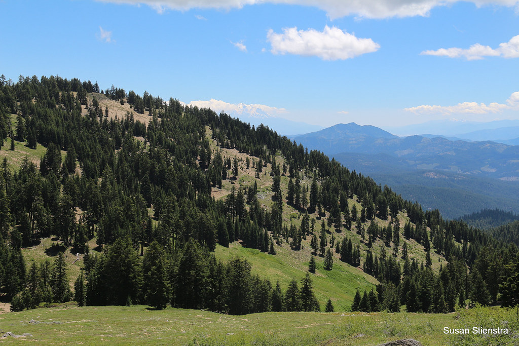
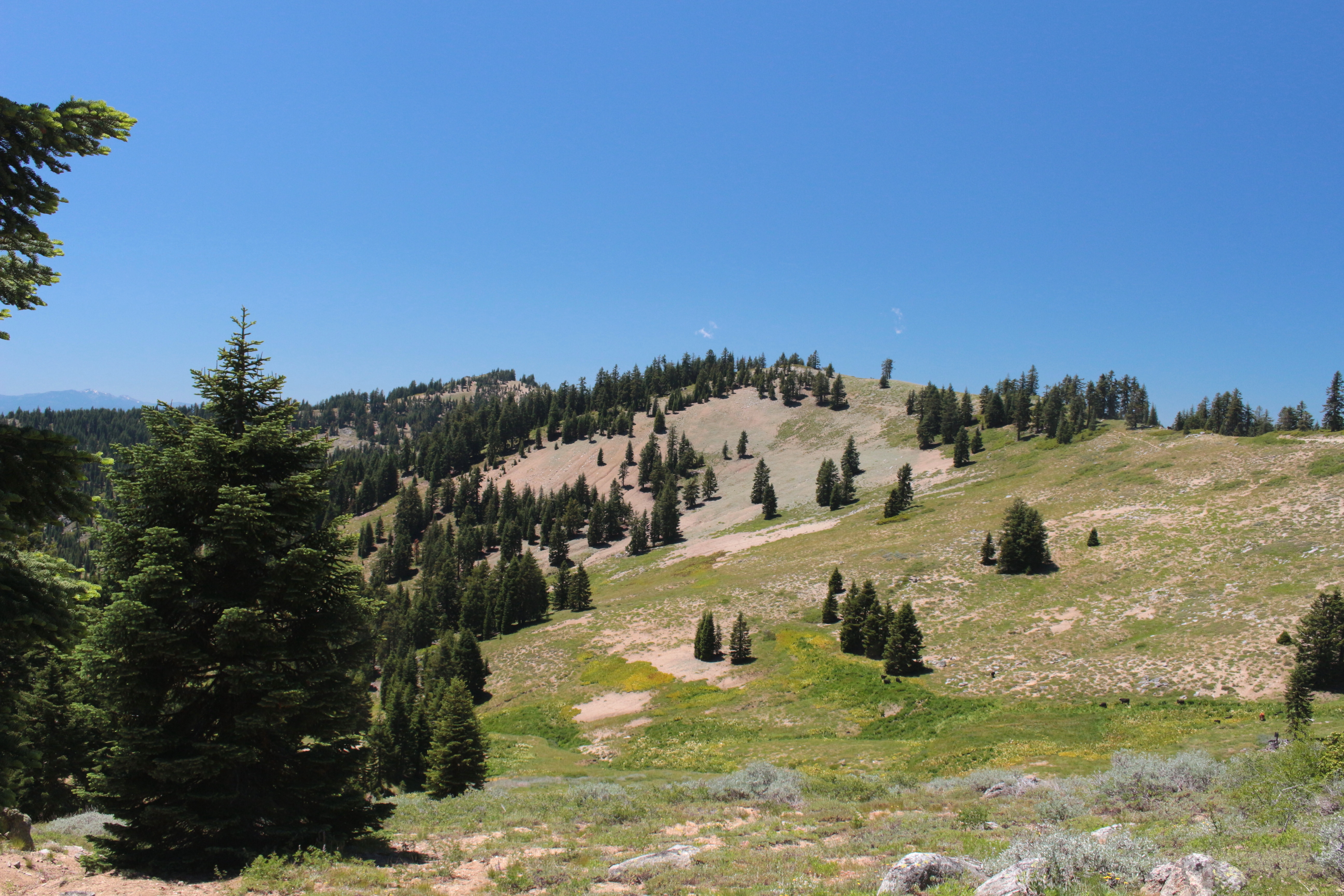
Related Photos:

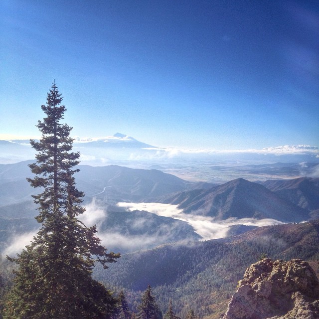
Mount McLoughlin
Oregon!
Boccard Point

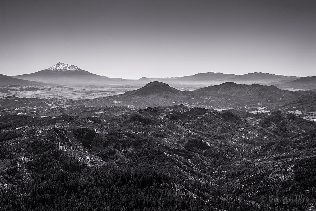
Mt Shasta California

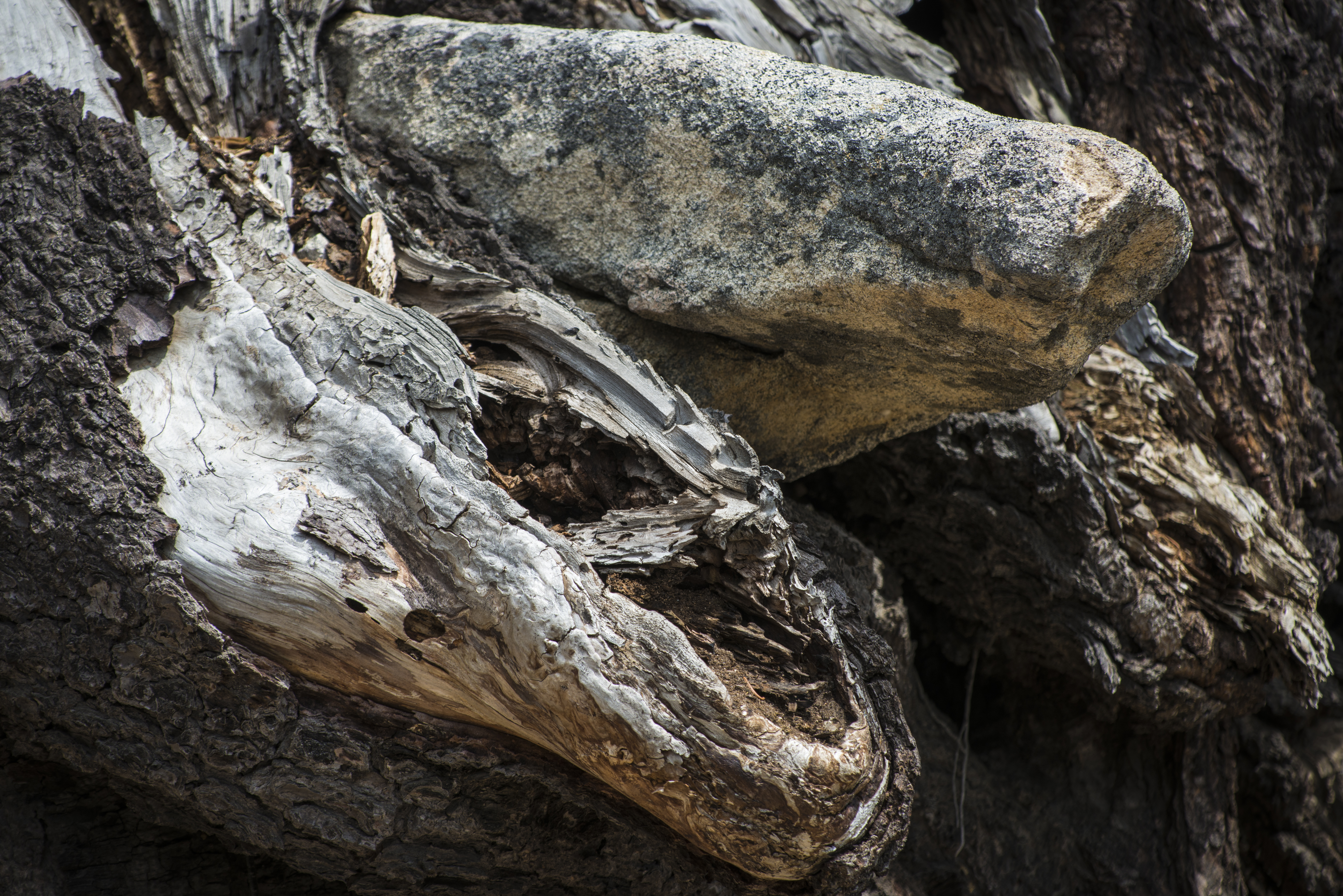
White Washing Away
View from the Pacific Crest Trail
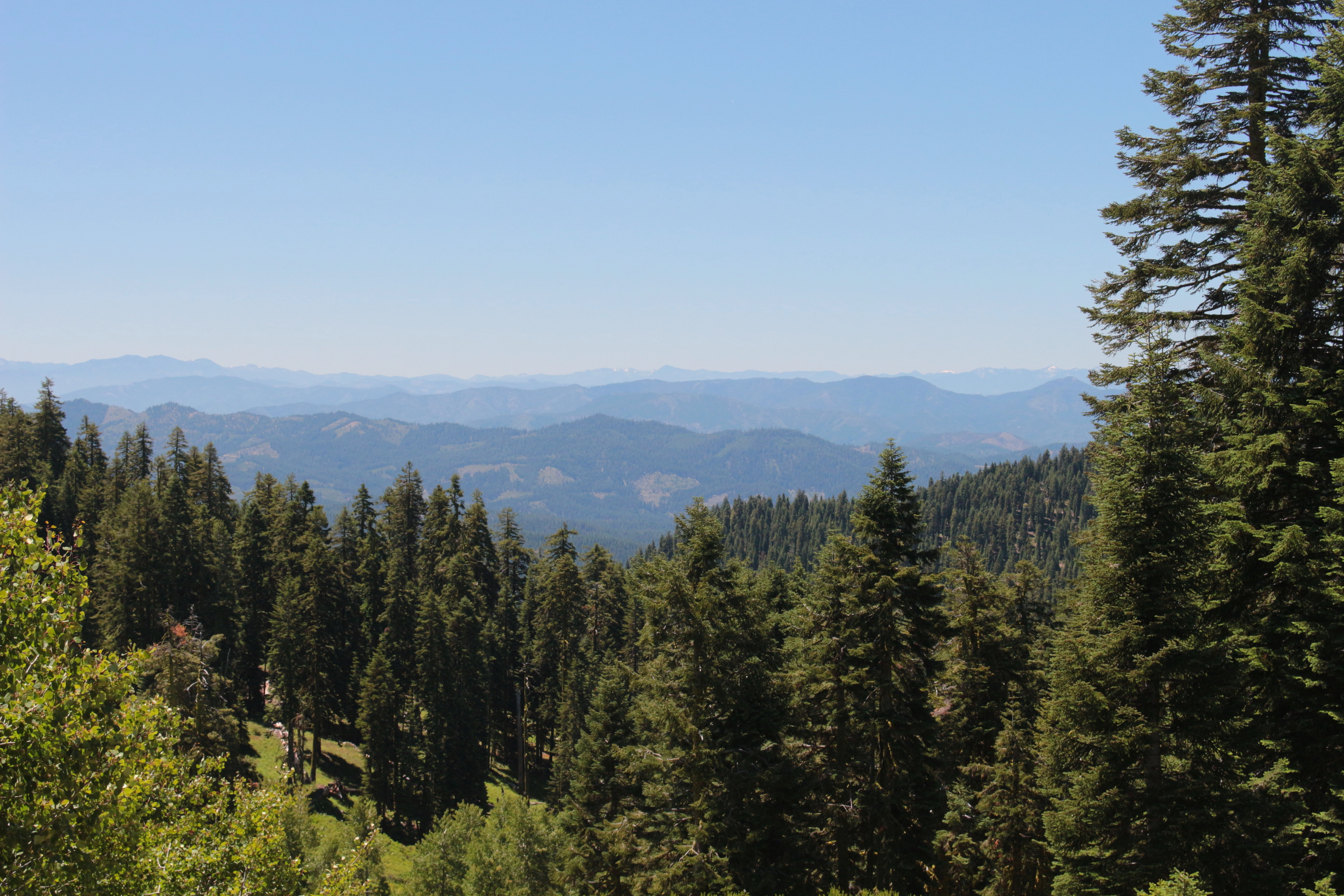
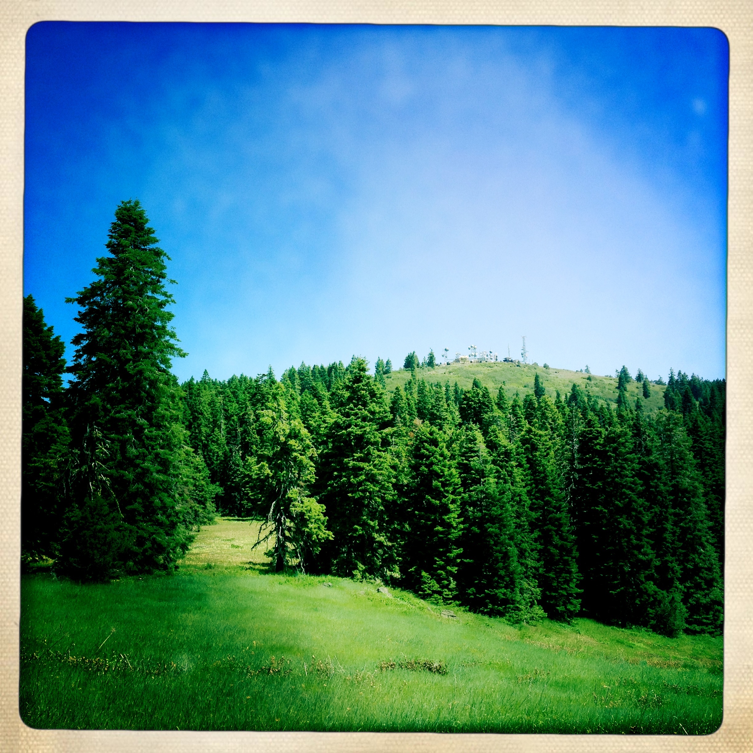
View toward Siskiyou Peak
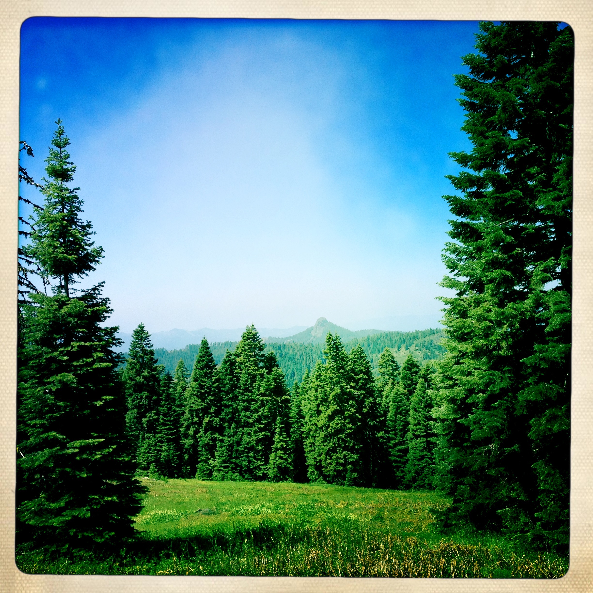
View east to Pilot Rock
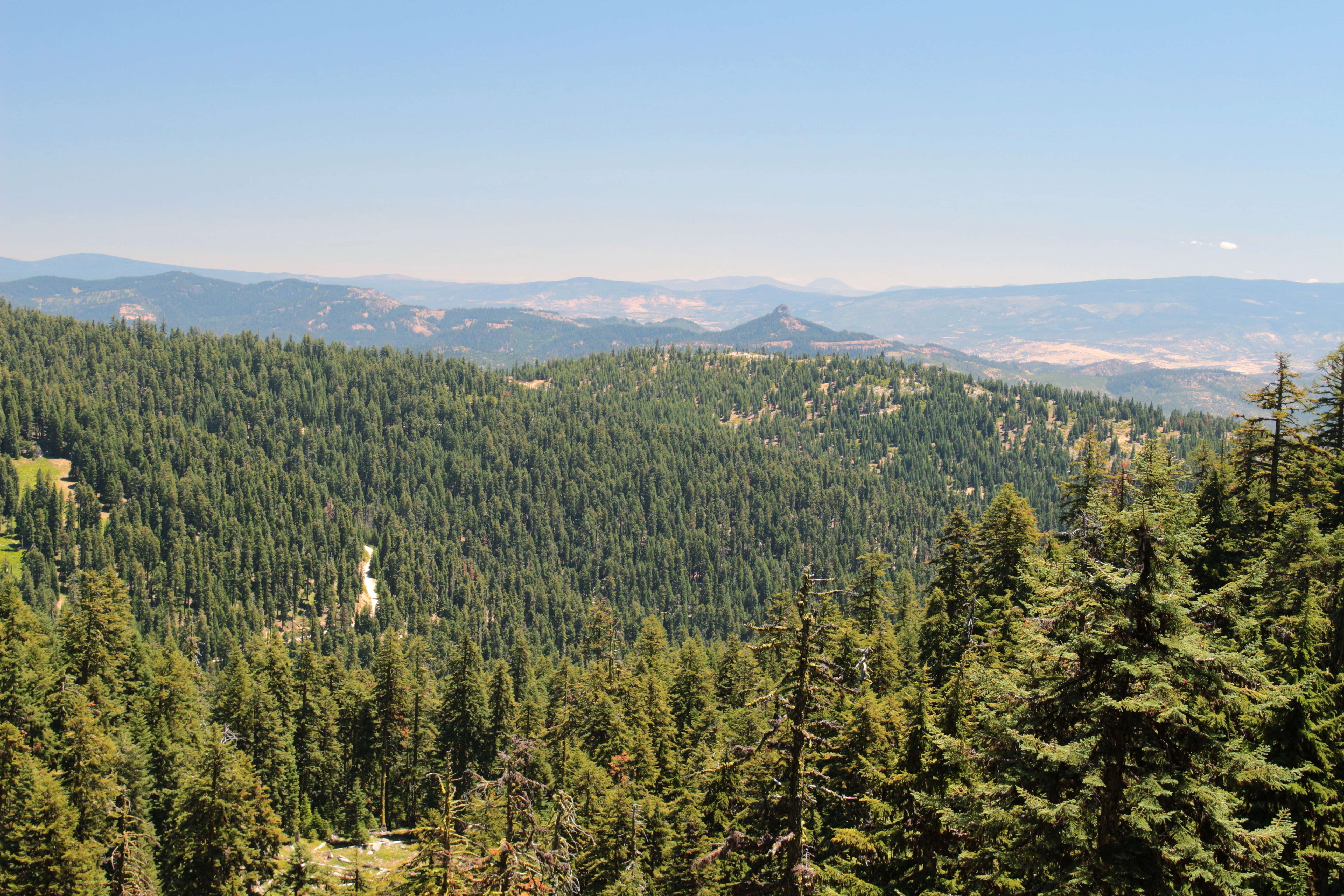
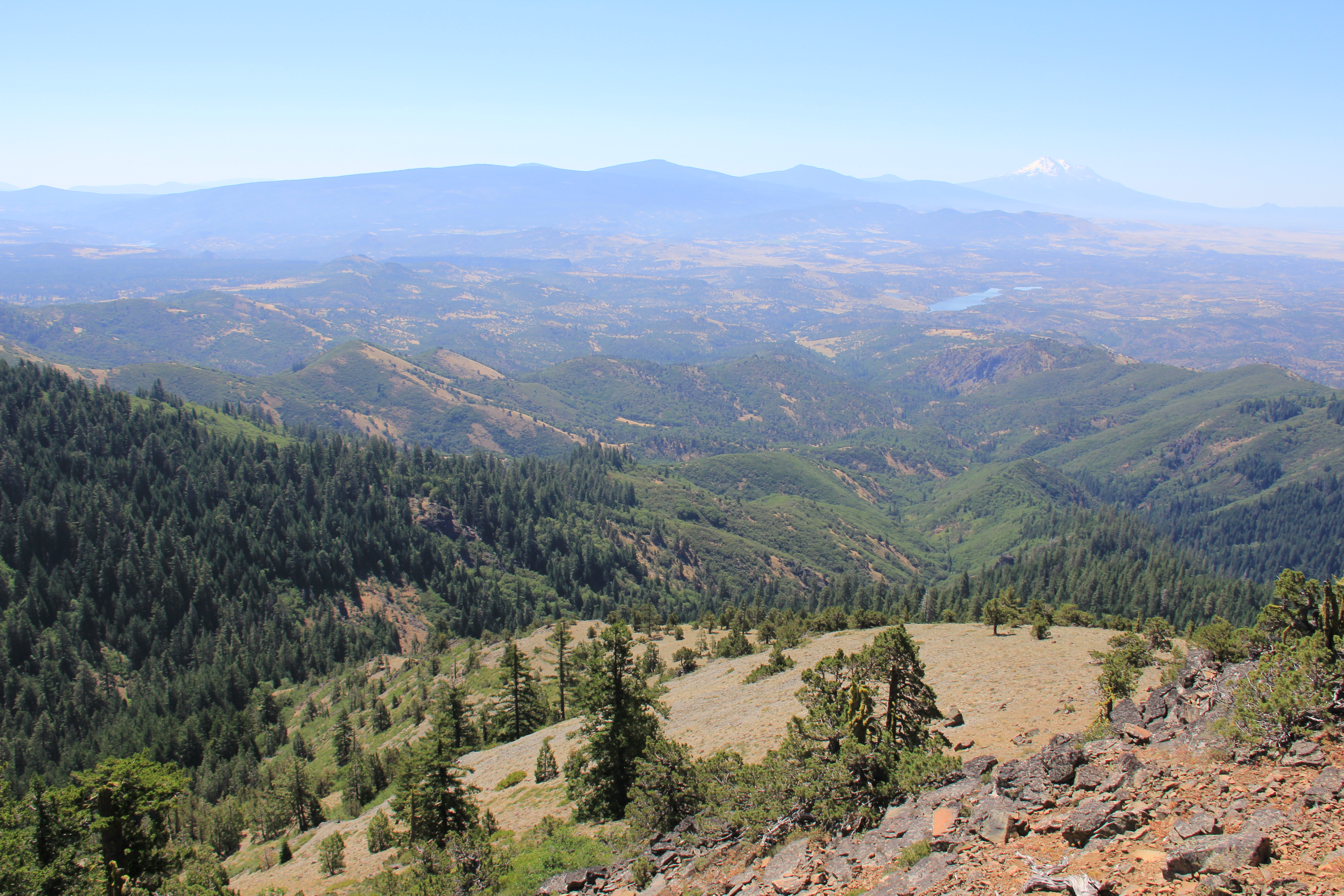
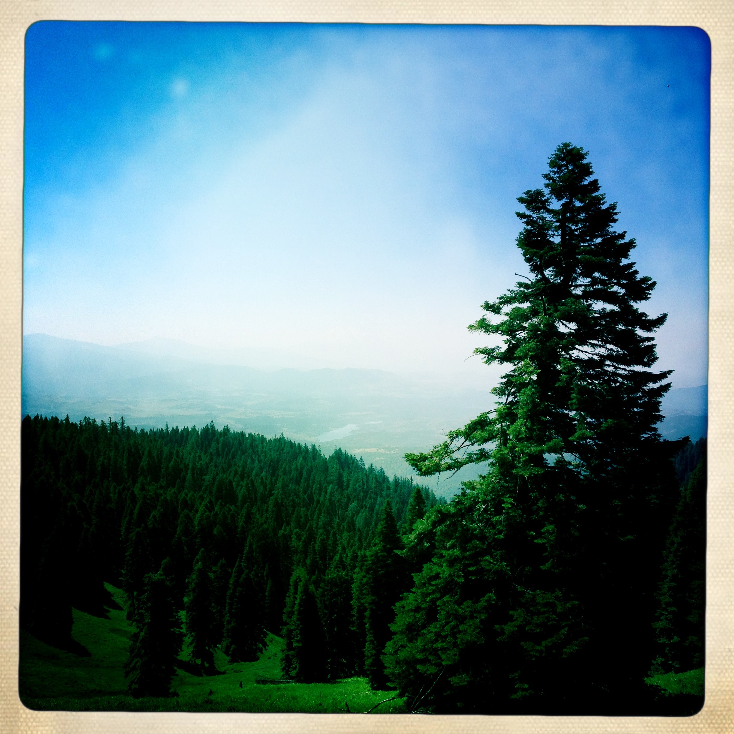
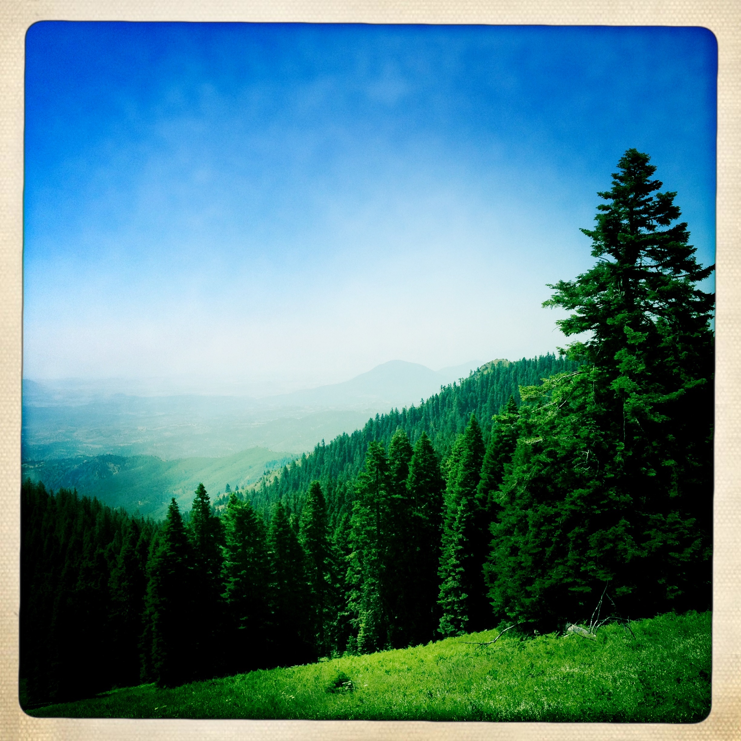
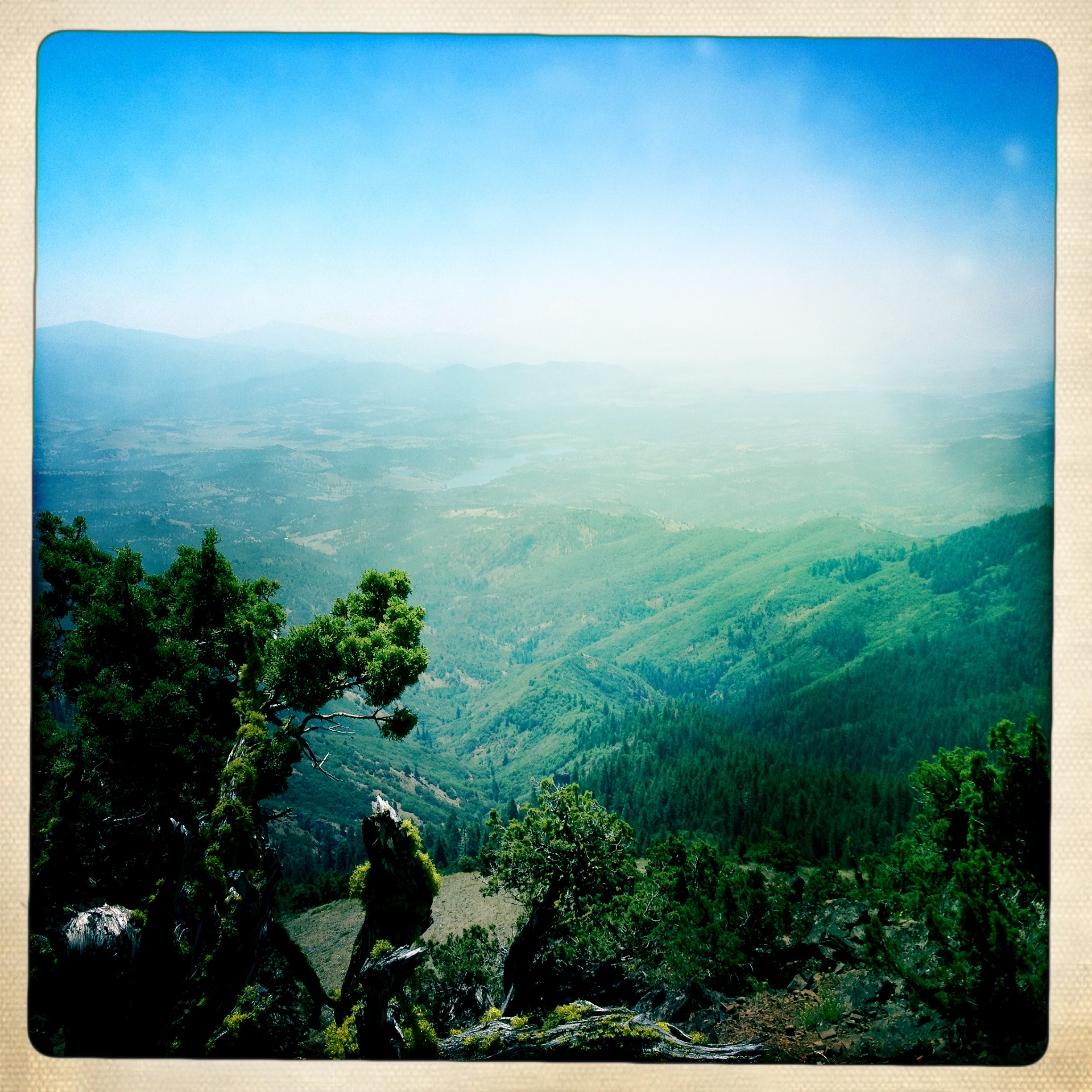
View to the Klamath River valley and the mountains beyond
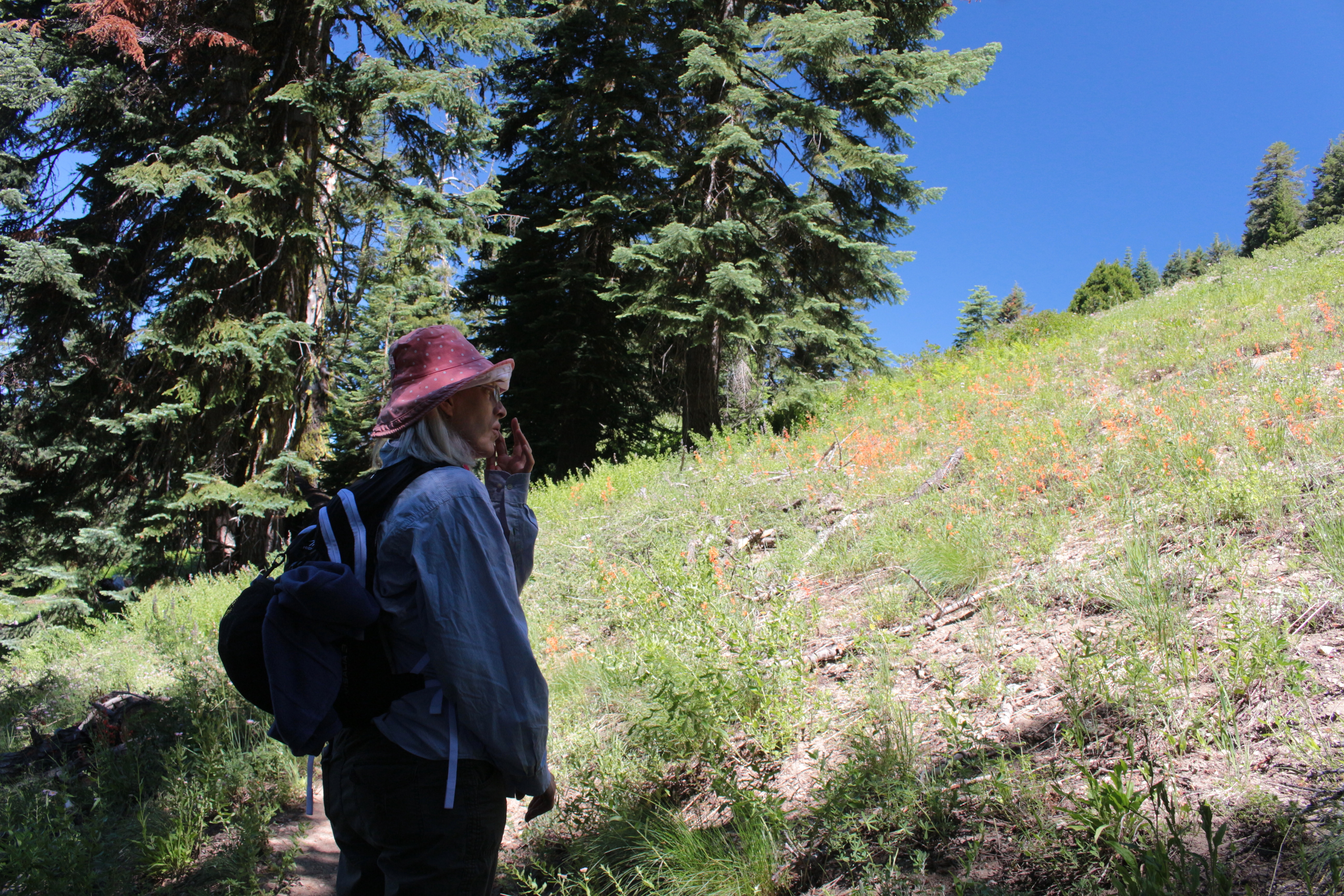
Kristen admires the view
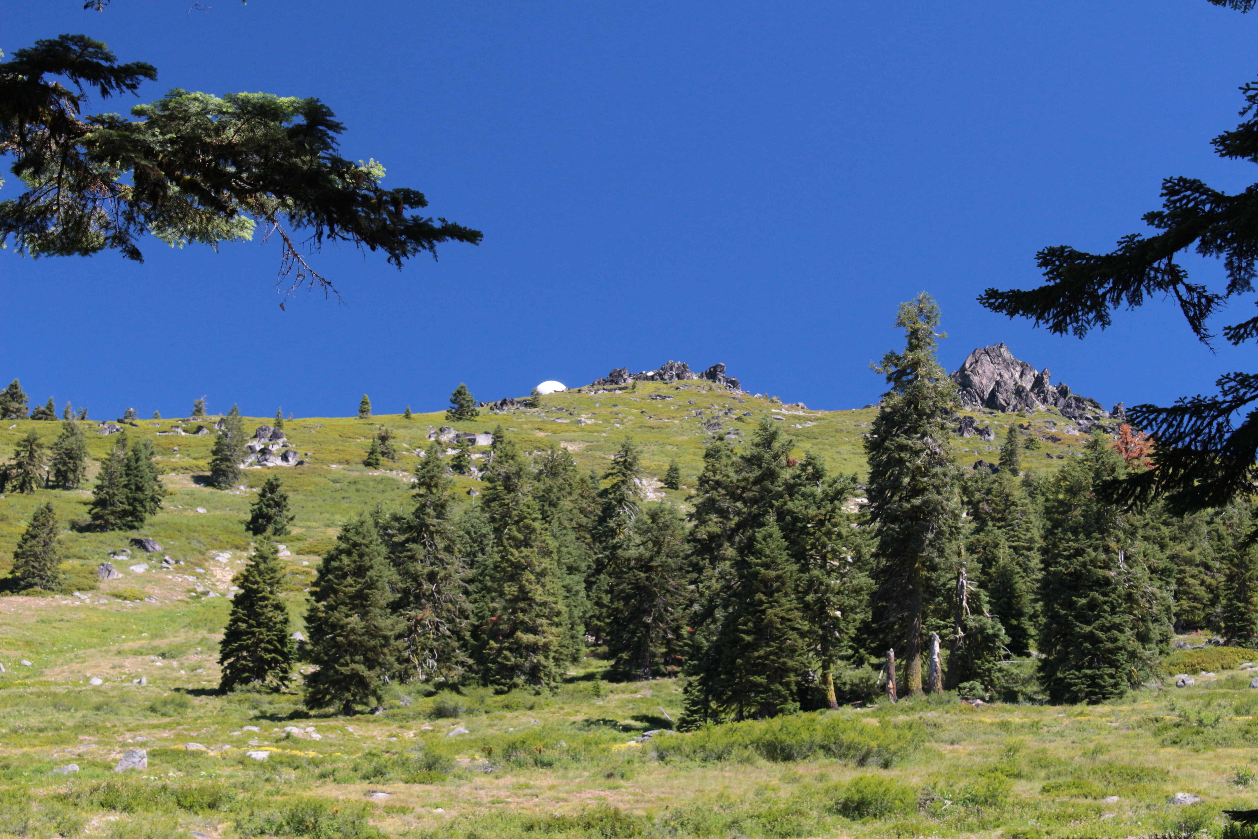
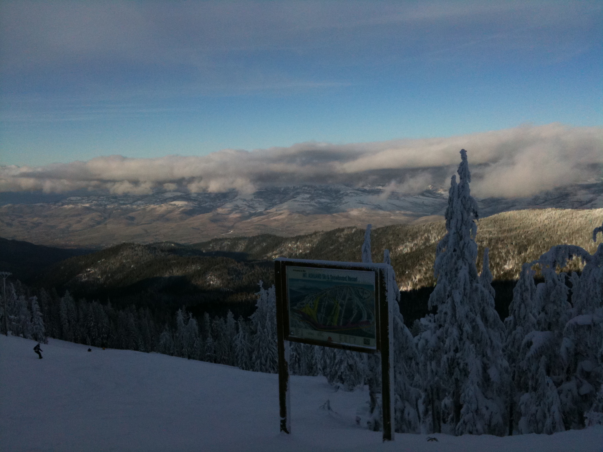
View up to the Mount Ashland summit

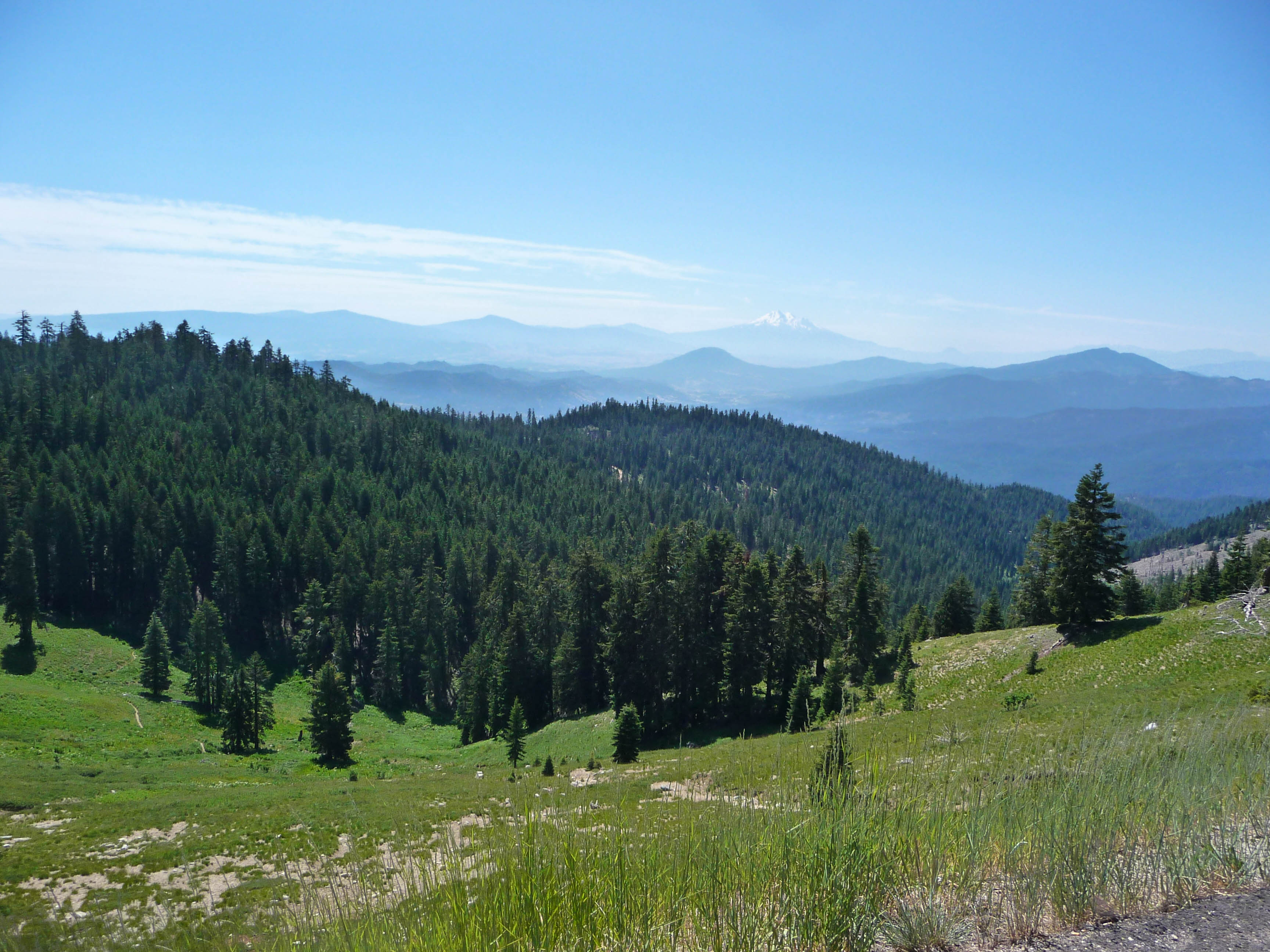
We enjoyed a great view of Mount Shasta all day long
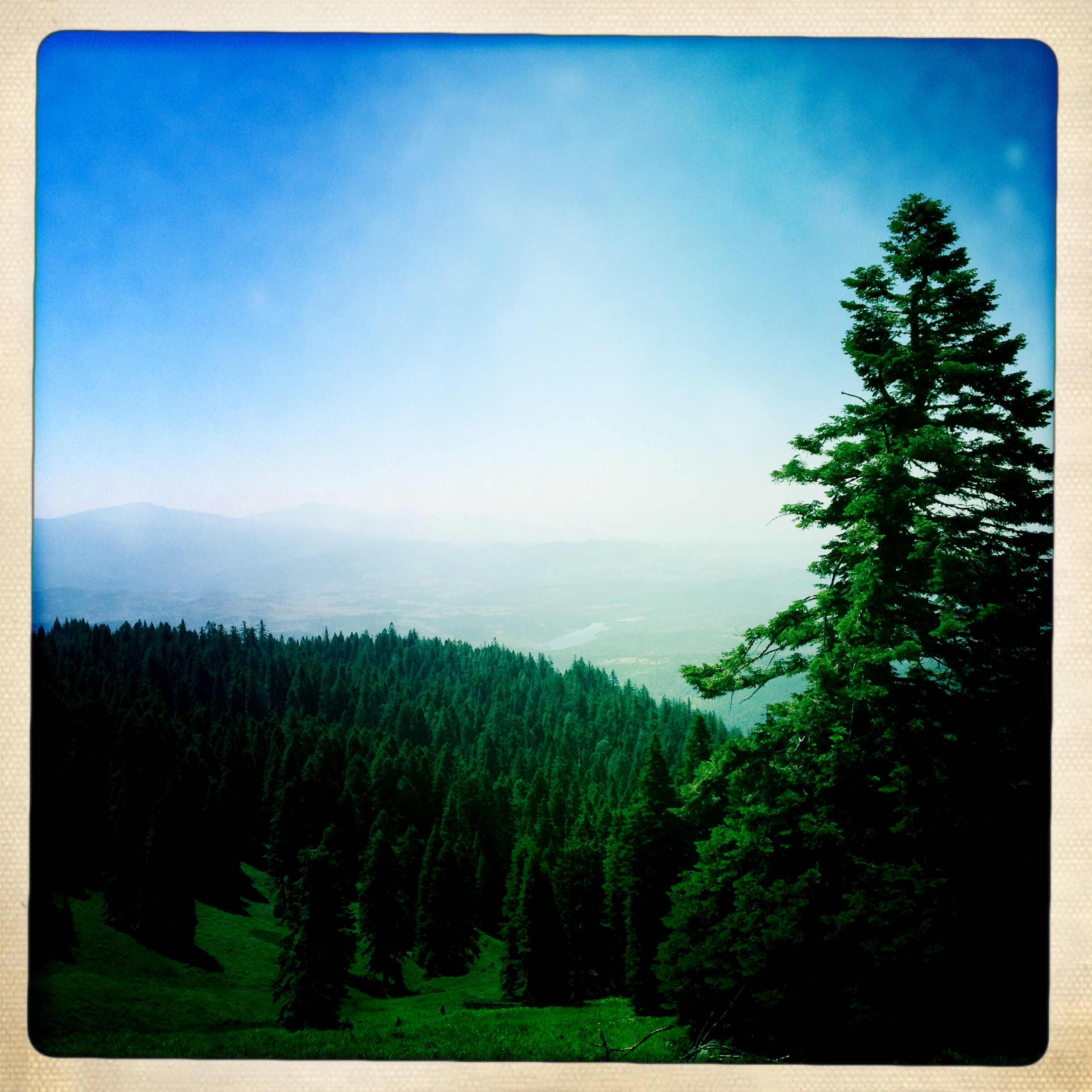
Valley View

View from Boccard Point toward Pilot Rock, Cascade-Siskiyou National Monument

Silvery Blue
Beautiful view from Cottonwood Mtn this morning. It's fun to see the tops of clouds before they roll over the summit. ⬆️

Mount Shasta
View From The Start - Siskiyou Outback Trail Run
View from Boccard
Pilot Rock Shasta View
View on Mt. Ashland
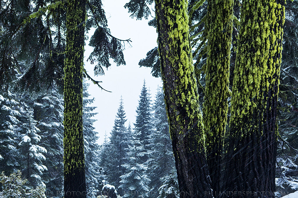
Mossy Snow
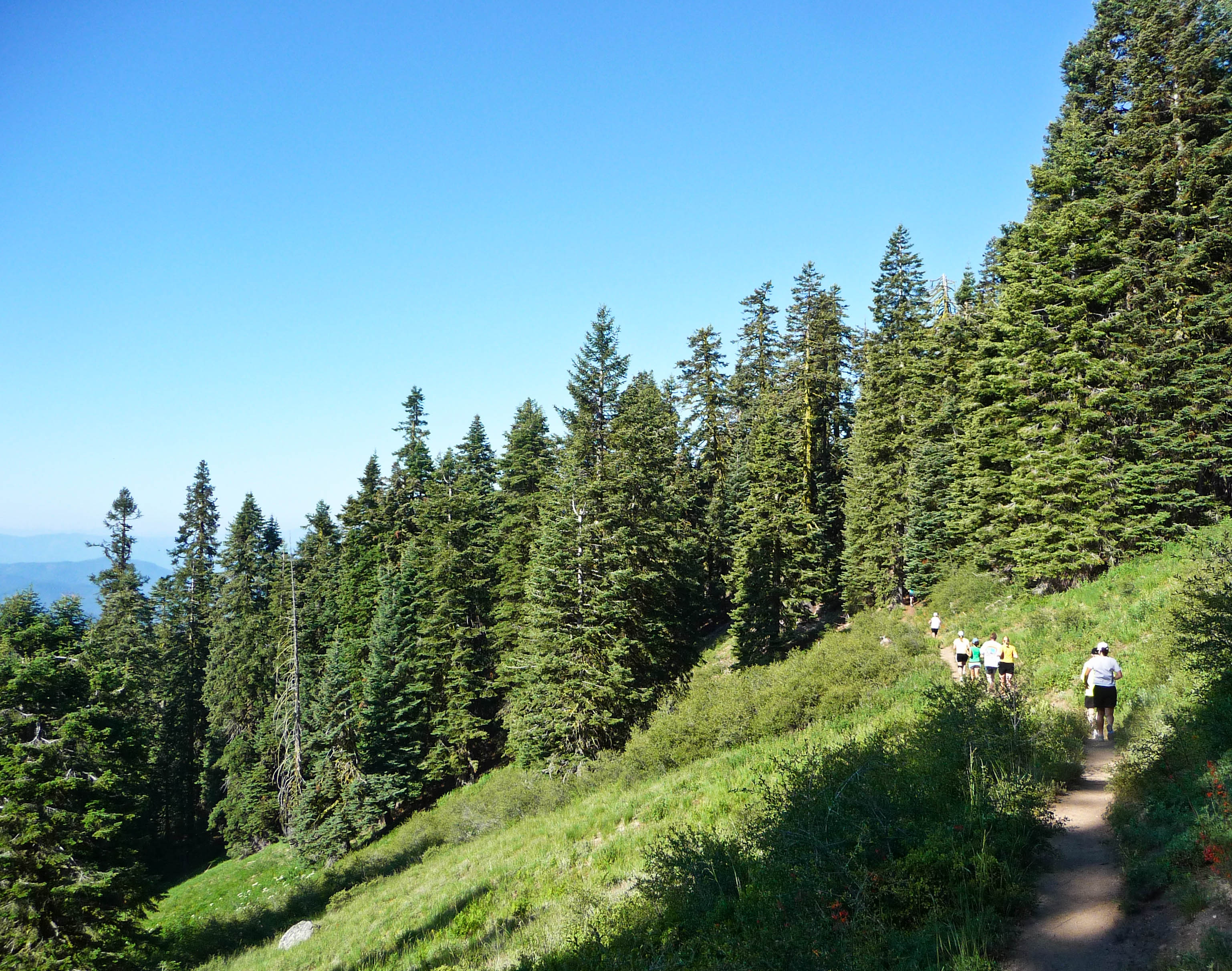
Racing on the Pacific Crest Trail - Siskiyou Outback Trail Run
Cascade-Siskiyou National Monument

Soda Mountain, Cascade-Siskiyou National Monument
Soda Mountain, Cascade-Siskiyou National Monument

Soda Mountain, Cascade-Siskiyou National Monument
Pilot Rock, Cascade-Siskiyou National Monument
Cascade-Siskiyou National Monument
Cascade-Siskiyou National Monument
Cascade-Siskiyou National Monument
Cascade-Siskiyou National Monument
Cascade-Siskiyou National Monument

Toward Boccard Point, Cascade-Siskiyou National Monument
From Boccard Point, Cascade-Siskiyou National Monument
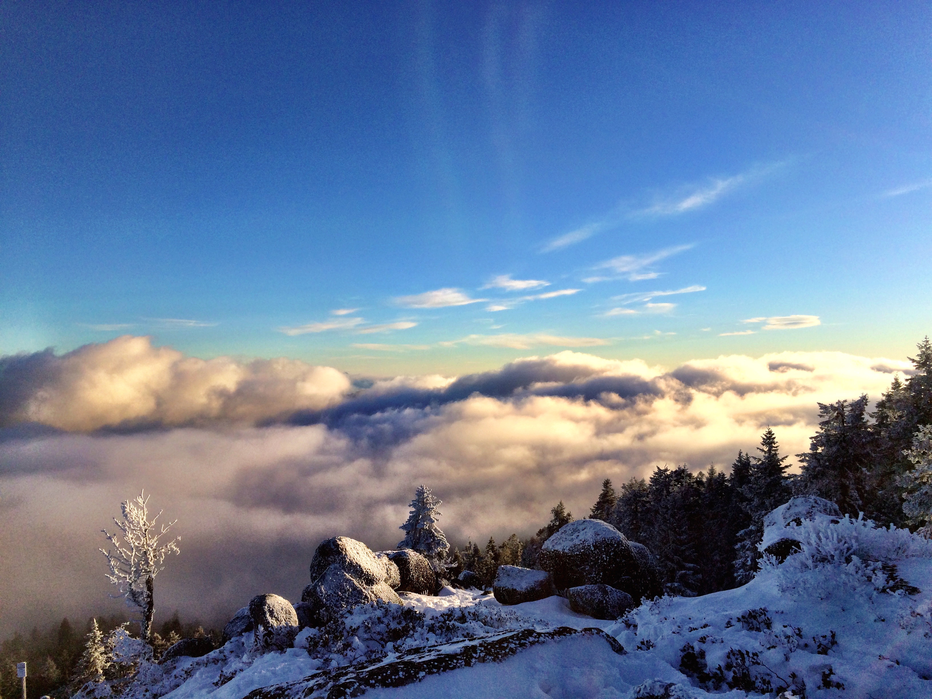
Photo Dec 26, 4 05 22 PM
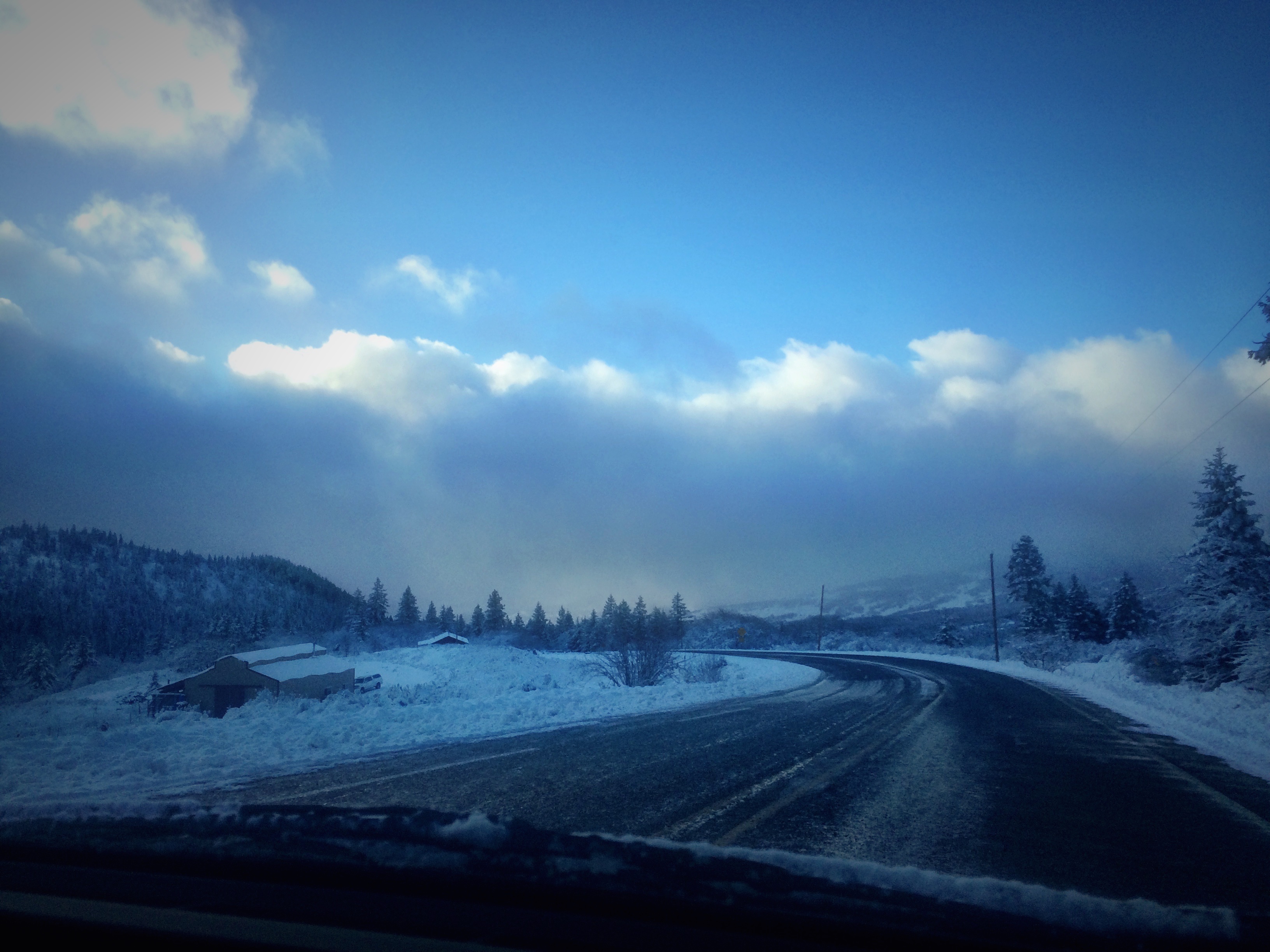
Photo Dec 25, 3 23 58 PM
Punk rockers in the woods.
Topographic Map of Hilt, CA, USA
Find elevation by address:

Places near Hilt, CA, USA:
1909 Colestin Rd
2245 Colestin Rd
2216 Colestin Rd
1895 Colestin Rd
1891 Colestin Rd
1720 Colestin Rd
Colestin
11800 Old Hwy 99 S
Siskiyou Summit
Tunnel 13
129 Steinman Dr
15580 Oregon Rd
Hornbrook
51 Main St
Main St, Hornbrook, CA, USA
Mount Ashland
Hornbrook, CA, USA
Red Bird Street
CA-96, Klamath River, CA, USA
220 Mobile Dr
Recent Searches:
- Elevation of Corso Fratelli Cairoli, 35, Macerata MC, Italy
- Elevation of Tallevast Rd, Sarasota, FL, USA
- Elevation of 4th St E, Sonoma, CA, USA
- Elevation of Black Hollow Rd, Pennsdale, PA, USA
- Elevation of Oakland Ave, Williamsport, PA, USA
- Elevation of Pedrógão Grande, Portugal
- Elevation of Klee Dr, Martinsburg, WV, USA
- Elevation of Via Roma, Pieranica CR, Italy
- Elevation of Tavkvetili Mountain, Georgia
- Elevation of Hartfords Bluff Cir, Mt Pleasant, SC, USA