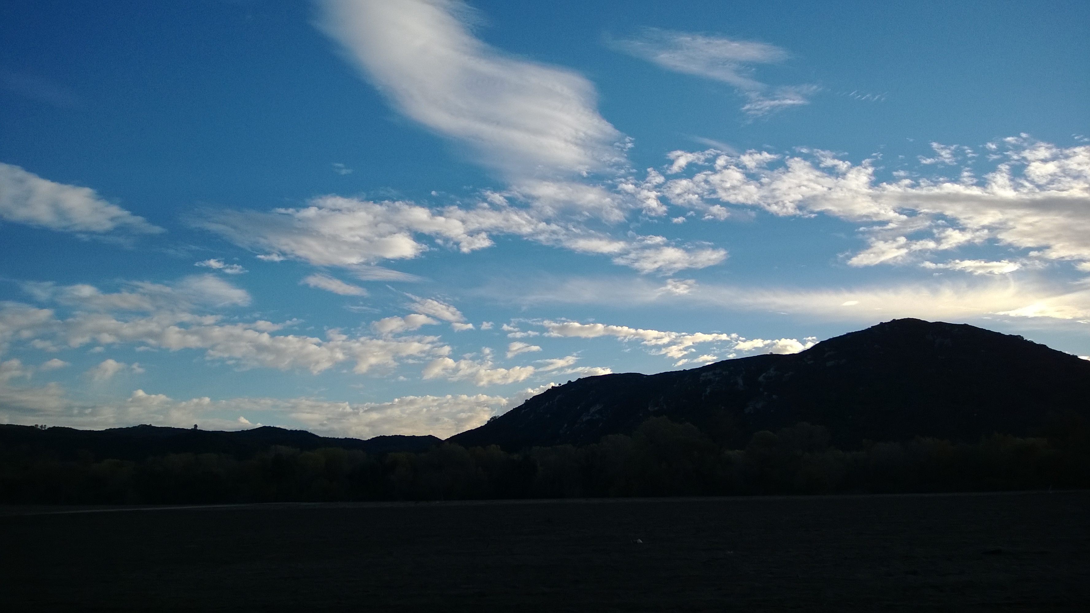
Elevation of Hillcrest Ln, Fallbrook, CA, USA
Location: United States > California > San Diego County > Fallbrook >
Longitude: -117.22945
Latitude: 33.39052
Elevation: 255m / 837feet
Barometric Pressure: 98KPa
Elevation Map:
Satellite Map:
Related Photos:

Huey, Dewey, and Louie?
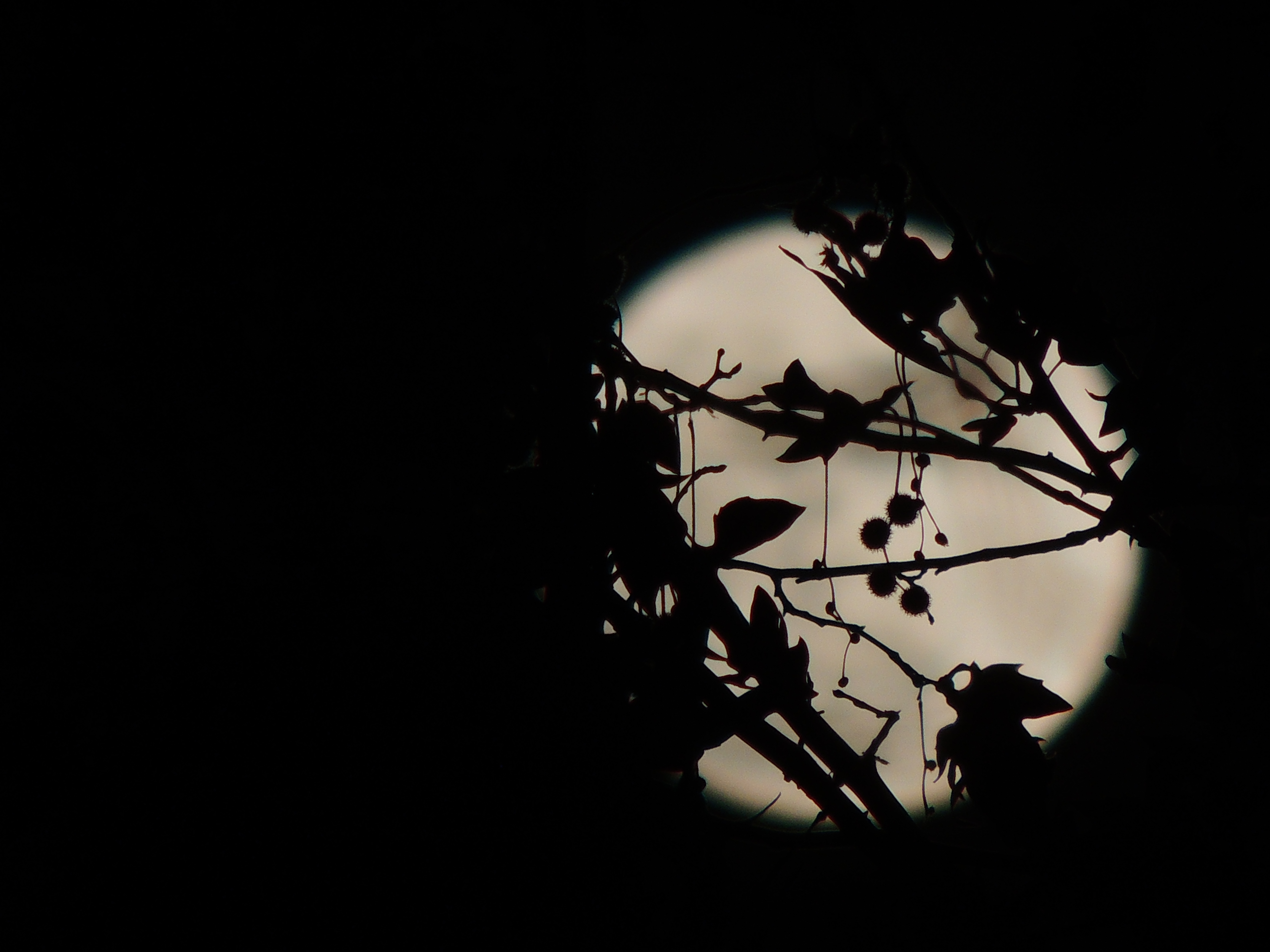
Christmas Full Moon ( Explored )
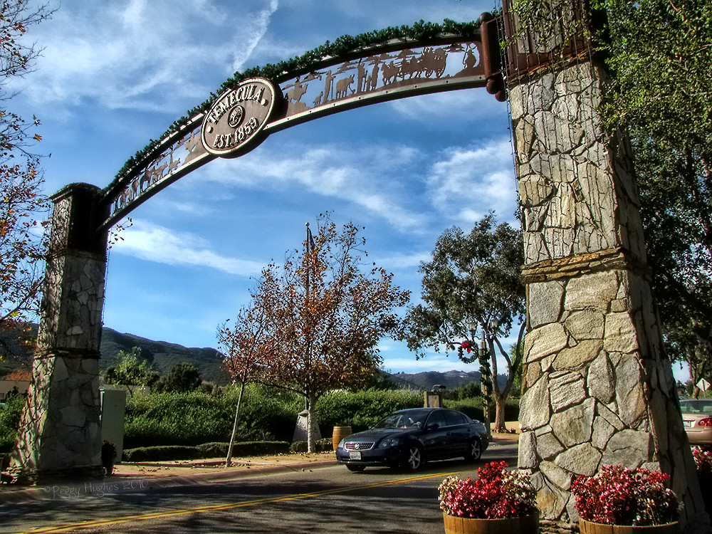
Temecula, California

A little bit blue

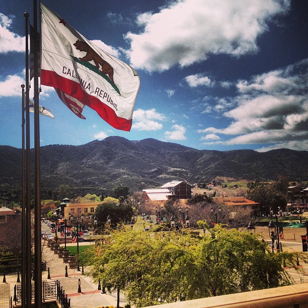
Old Town Temecula

Tonight's view from my bedroom

Day 24 V is View

my view #tuesday
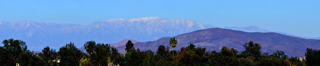
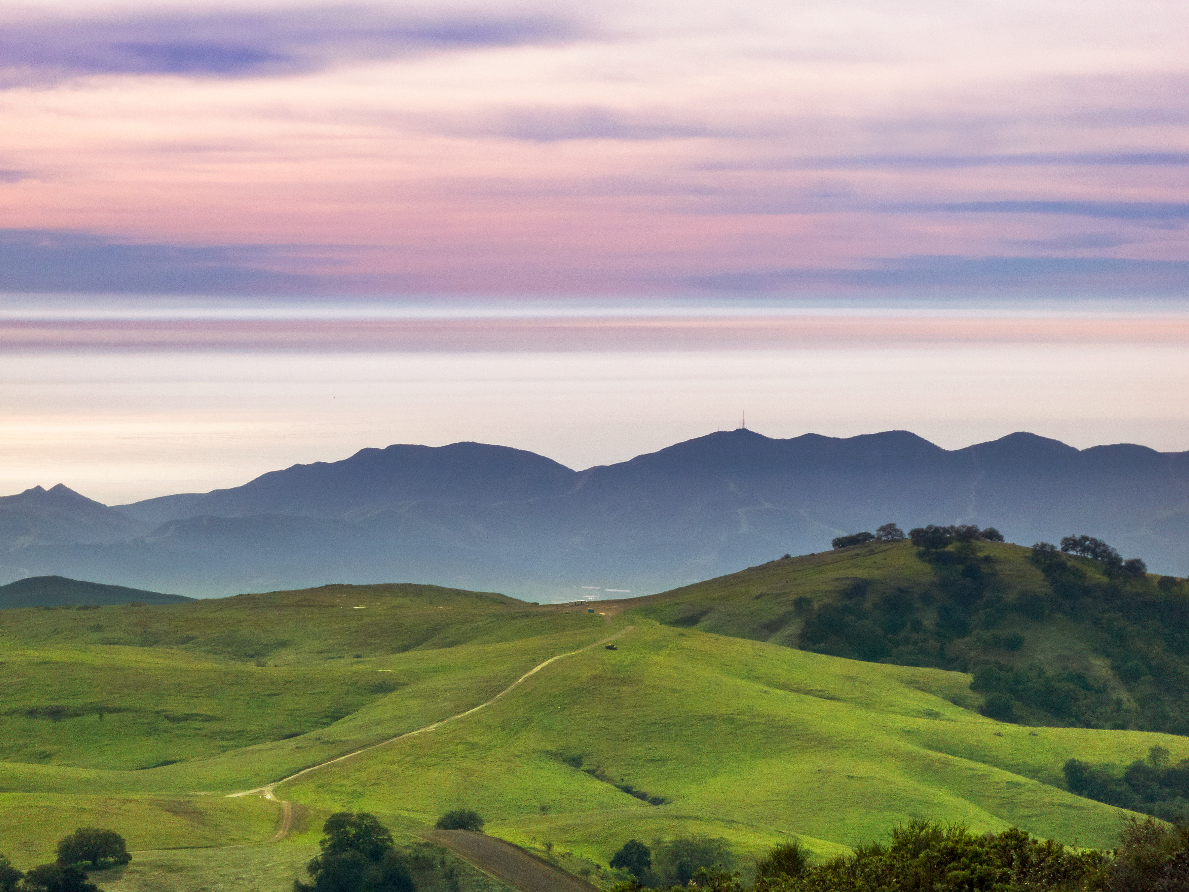
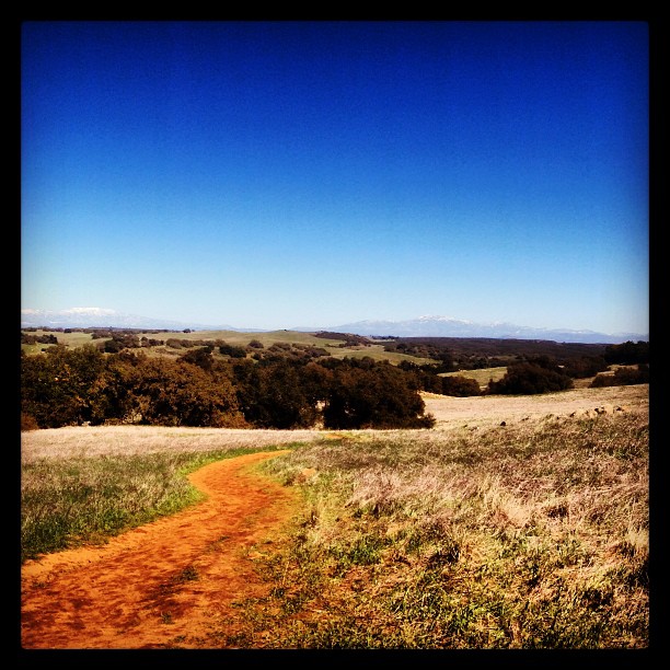
Distant snow, about 60 miles away

why do I feel this way?
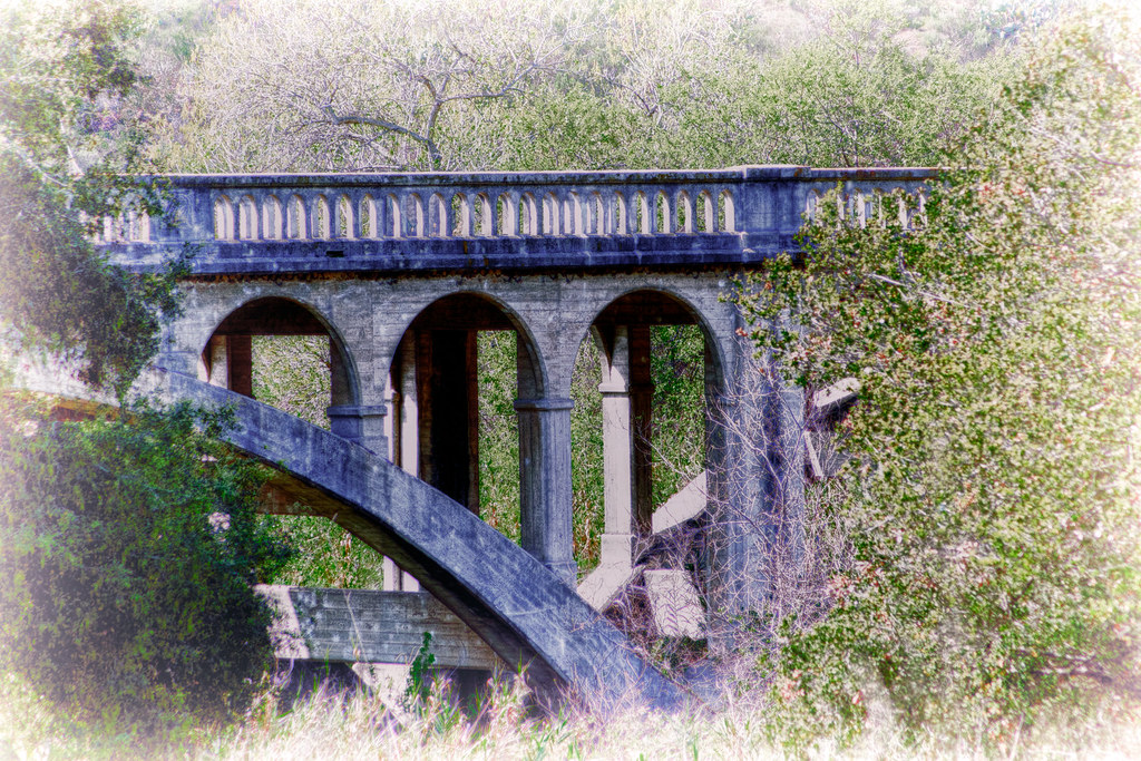
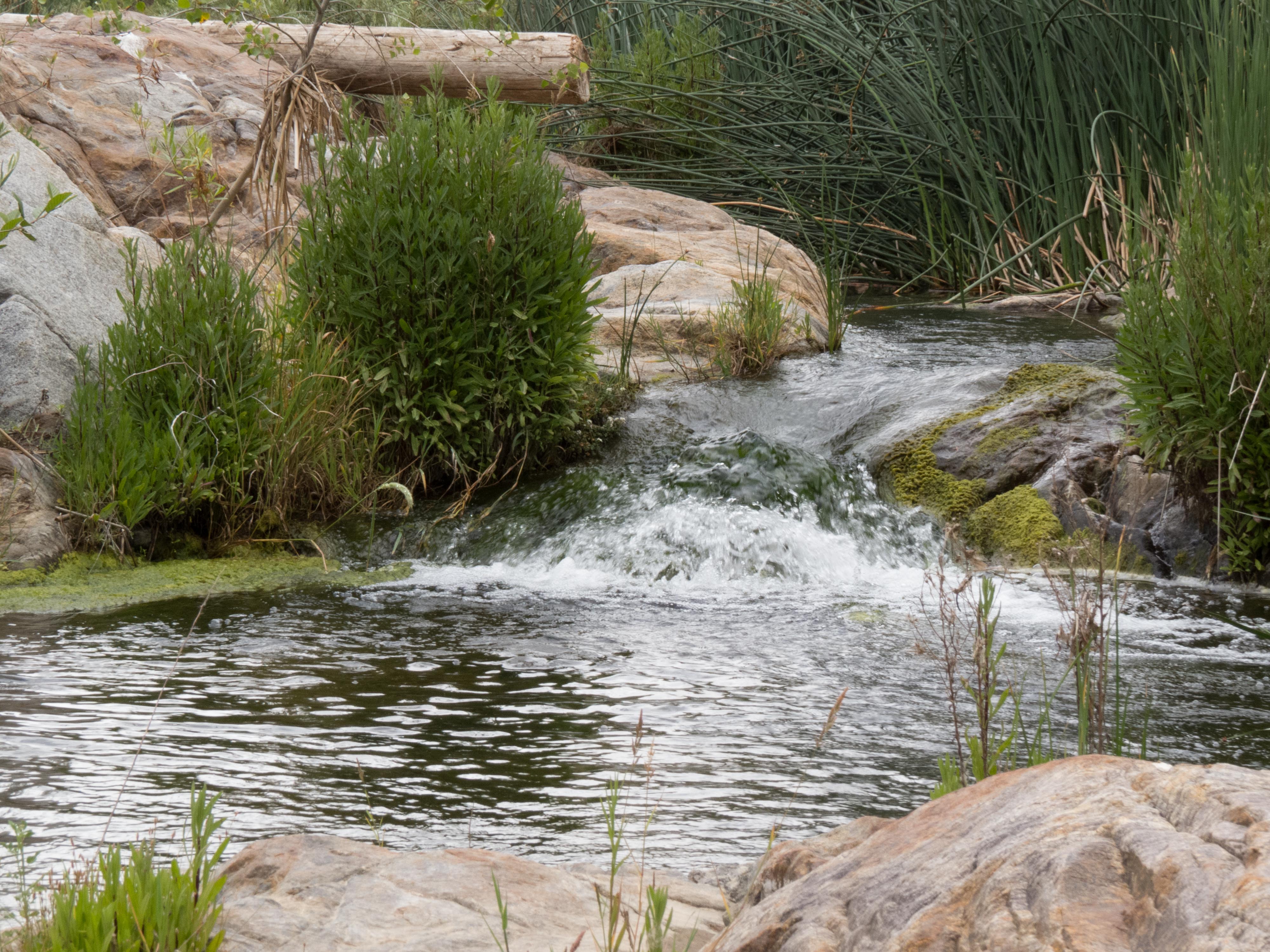
The Troll Under The Bridge

S. Main Avenue - Fallbrook
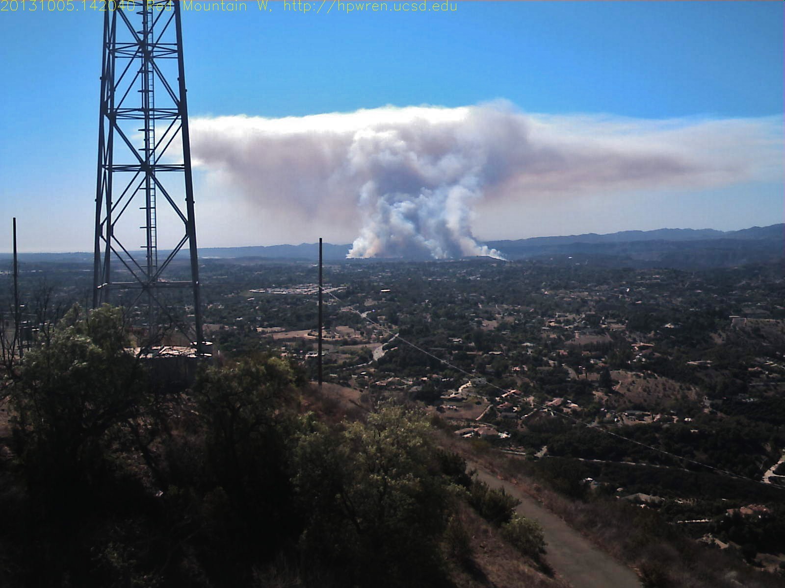
Red Mountain west view of Camp Pendleton wildfire

Street View - S Main Avenue - Fallbrook
My lunchtime view from the breakroom patio at work

Before Starbacks, After Starbucks
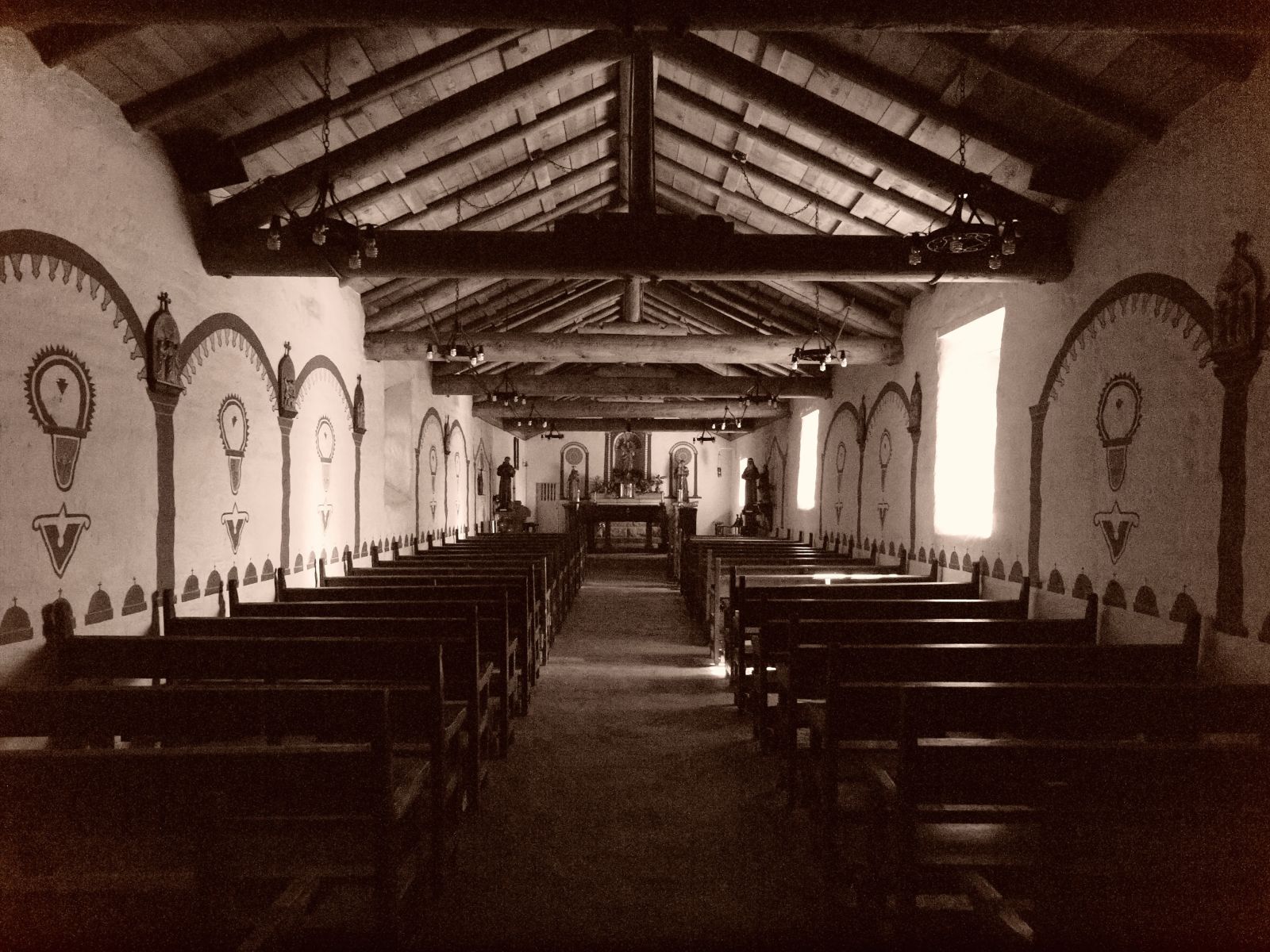
Another view in sepia
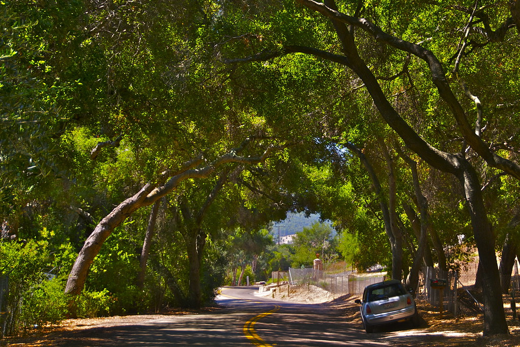
While Driving Along
Lunch Time View
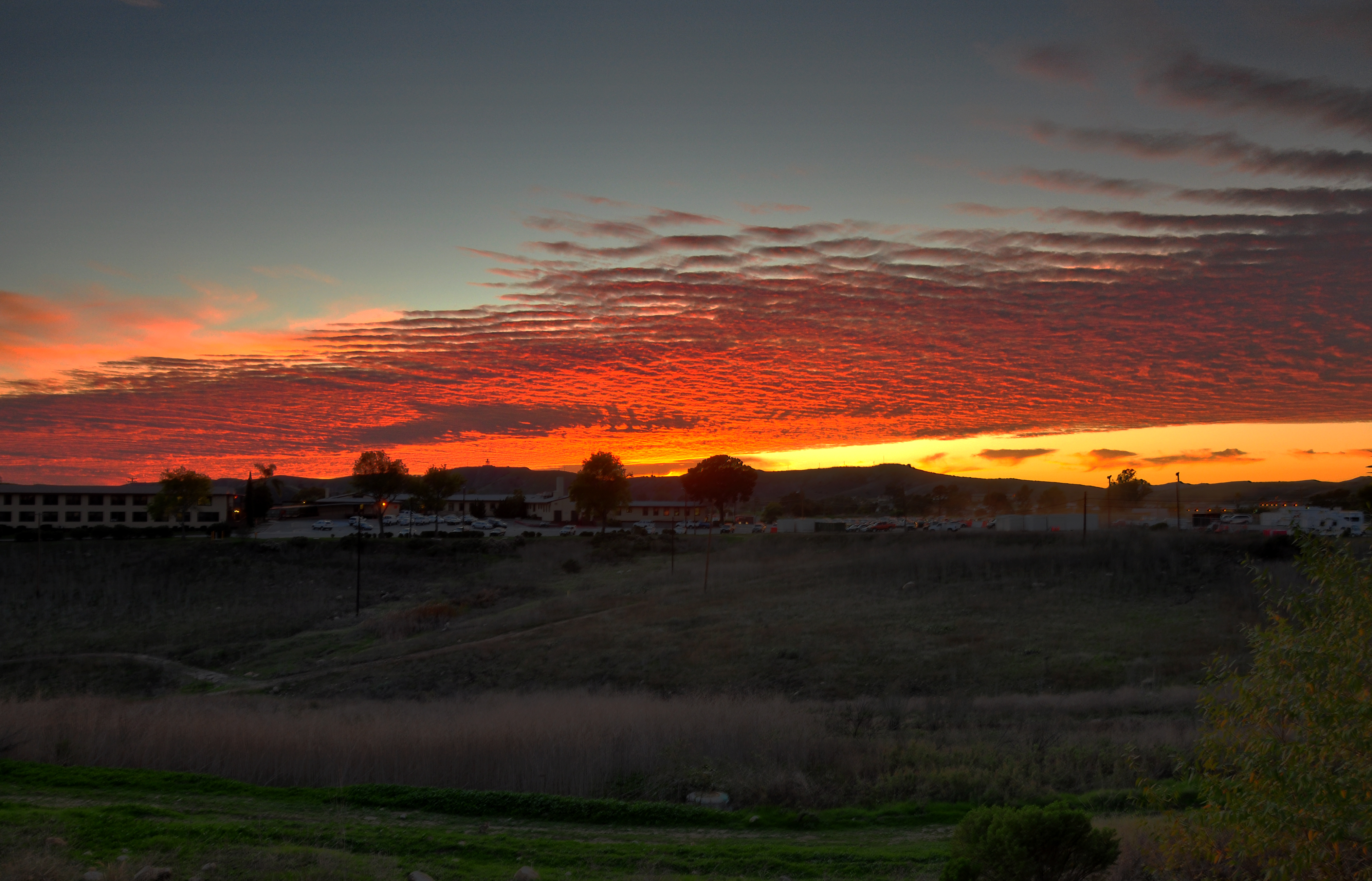
Pendleton Sunset
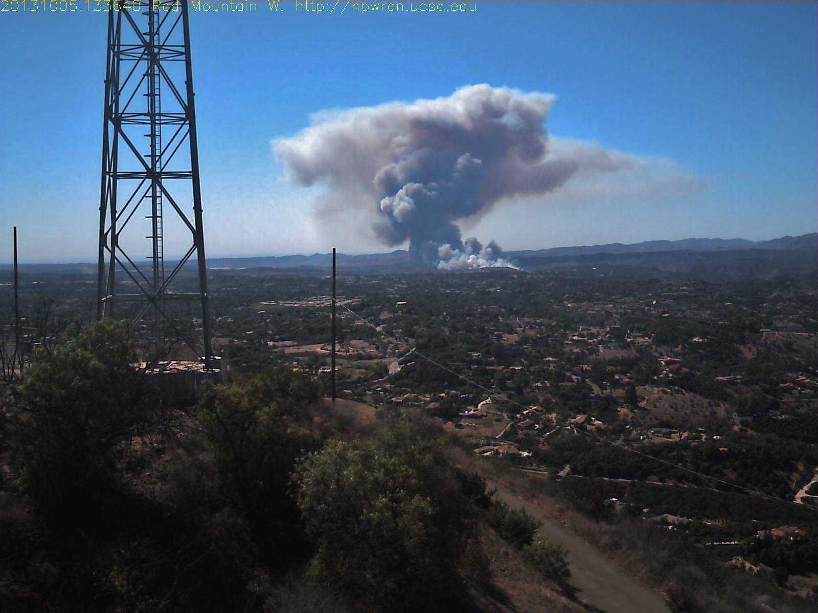
Red Mountain west view of Camp Pendleton wildfire
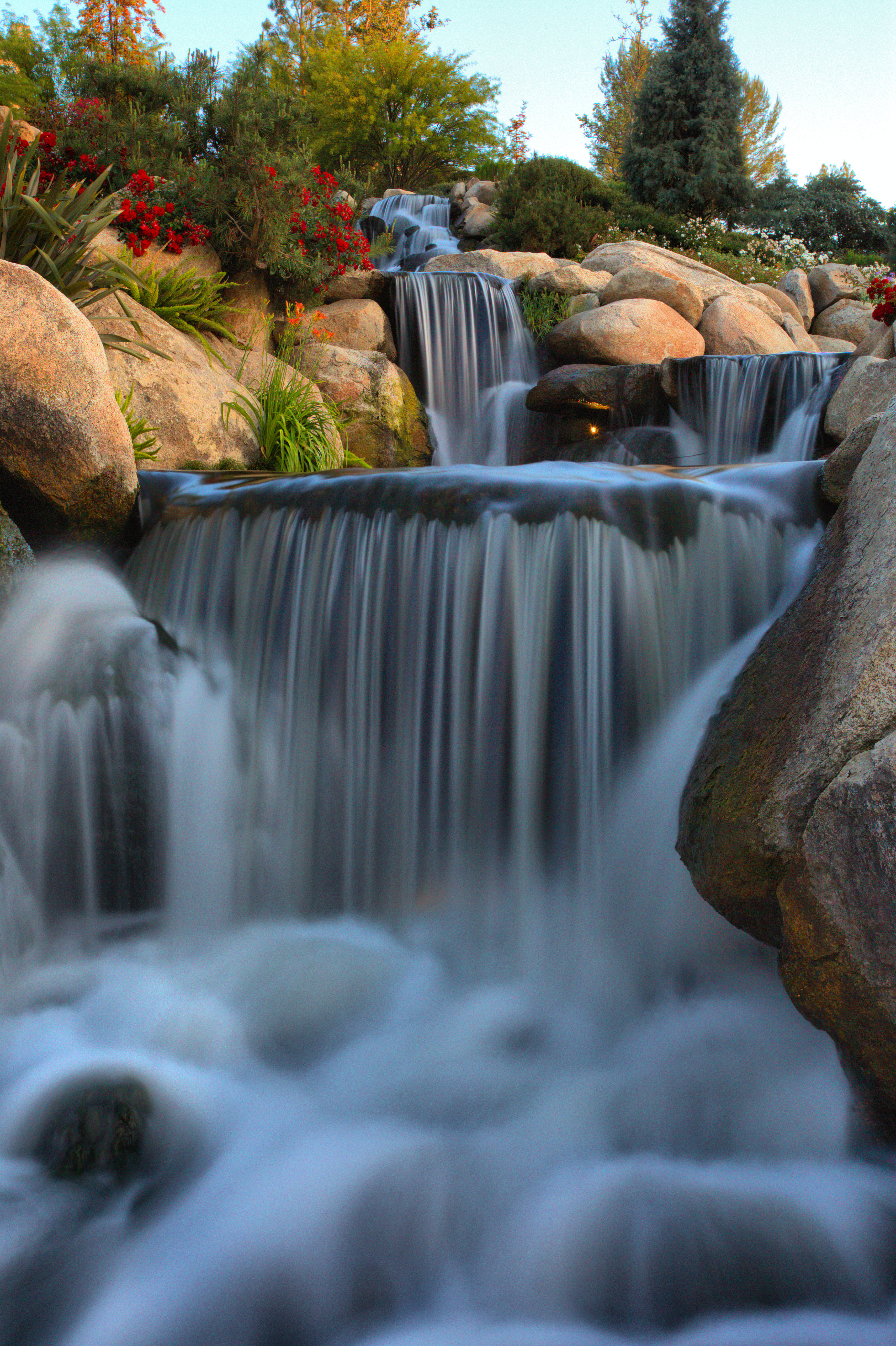
THE END RESULT, EXPLORED #54
Santa Margarita Mountains and Pacific Ocean
Springtime, Santa Rosa Plateau
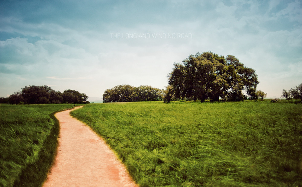
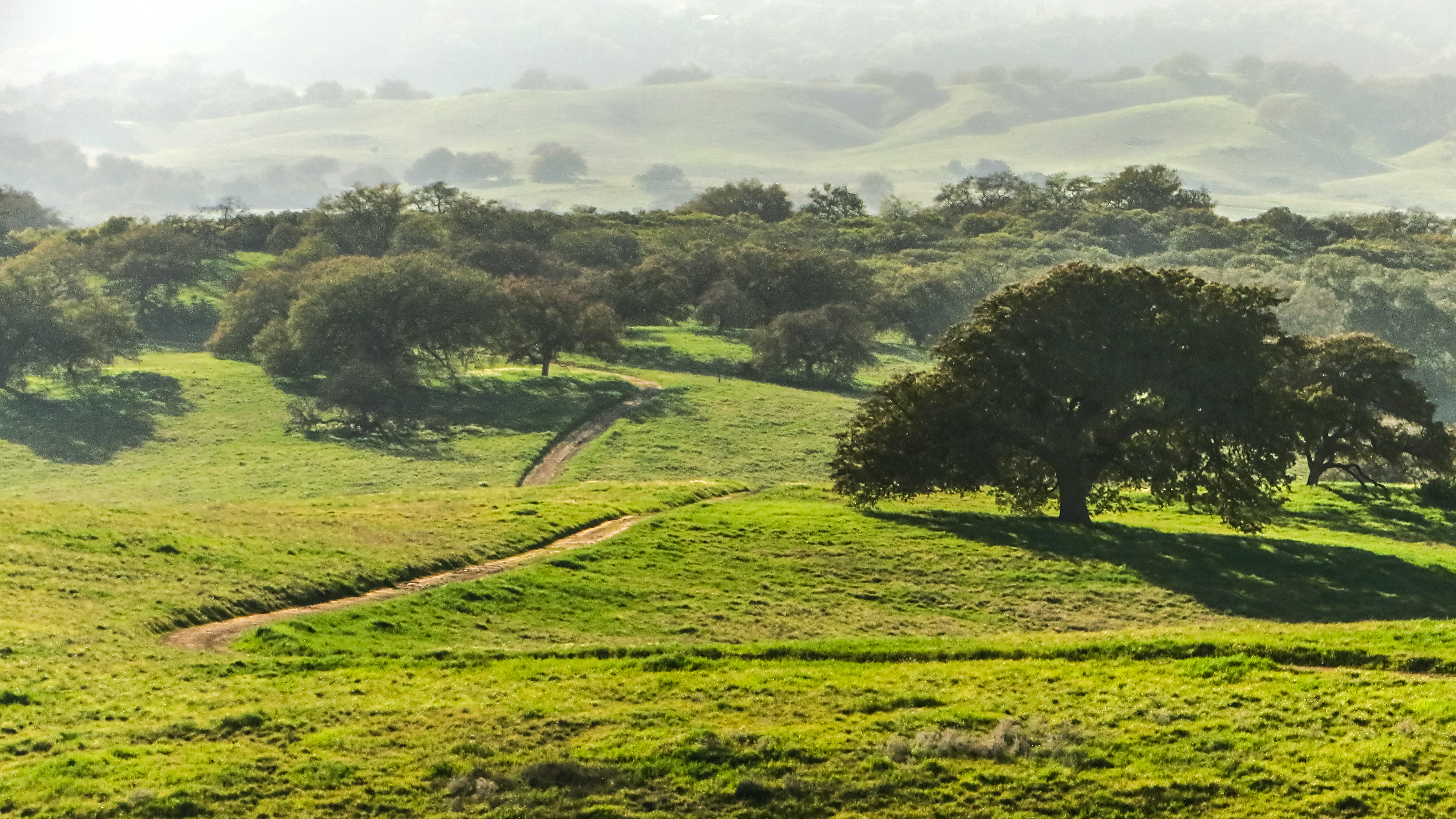
The Long and Winding Road

Yerba Santa, Santa Margarita Mountains
Santa Rosa 60
To the place I belong, Project 365: 75/365

Santa Rosa 263

Adam and his speed steed
Standing Proud
WP_20131211_051.jpg
Another beautiful day at Santa Rosa Plateau!
WP_20131211_052.jpg

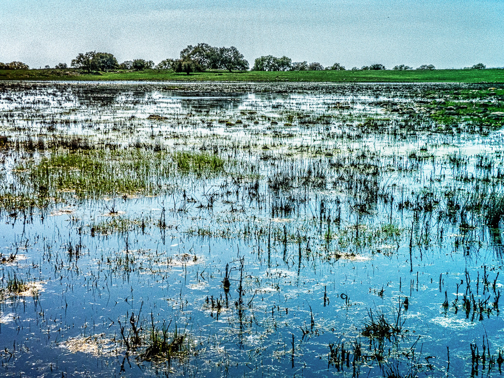
Santa Rosa Plateau Vernal Pool (Explored)

Into The Horizon.
WP_20131211_059.jpg
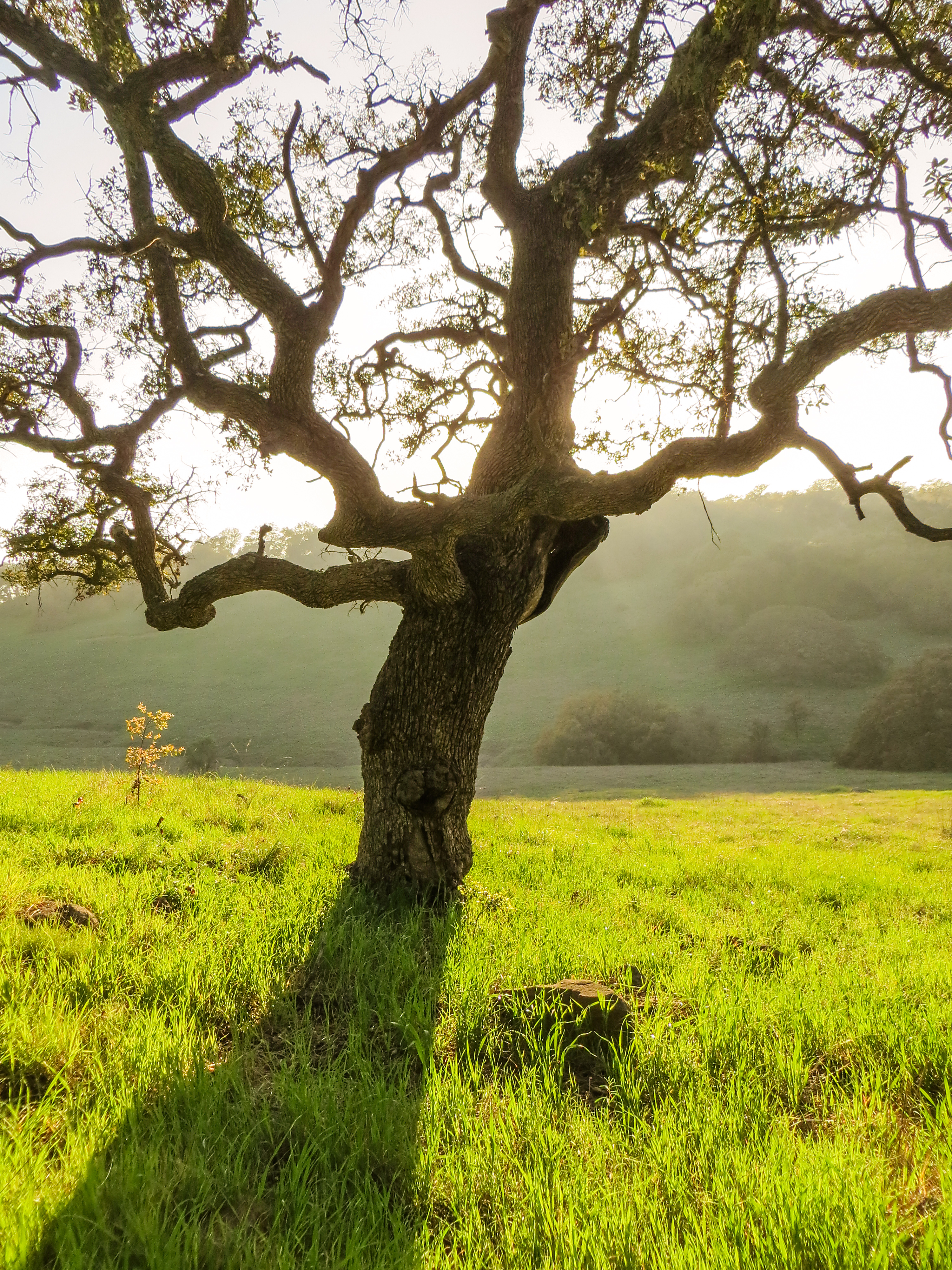
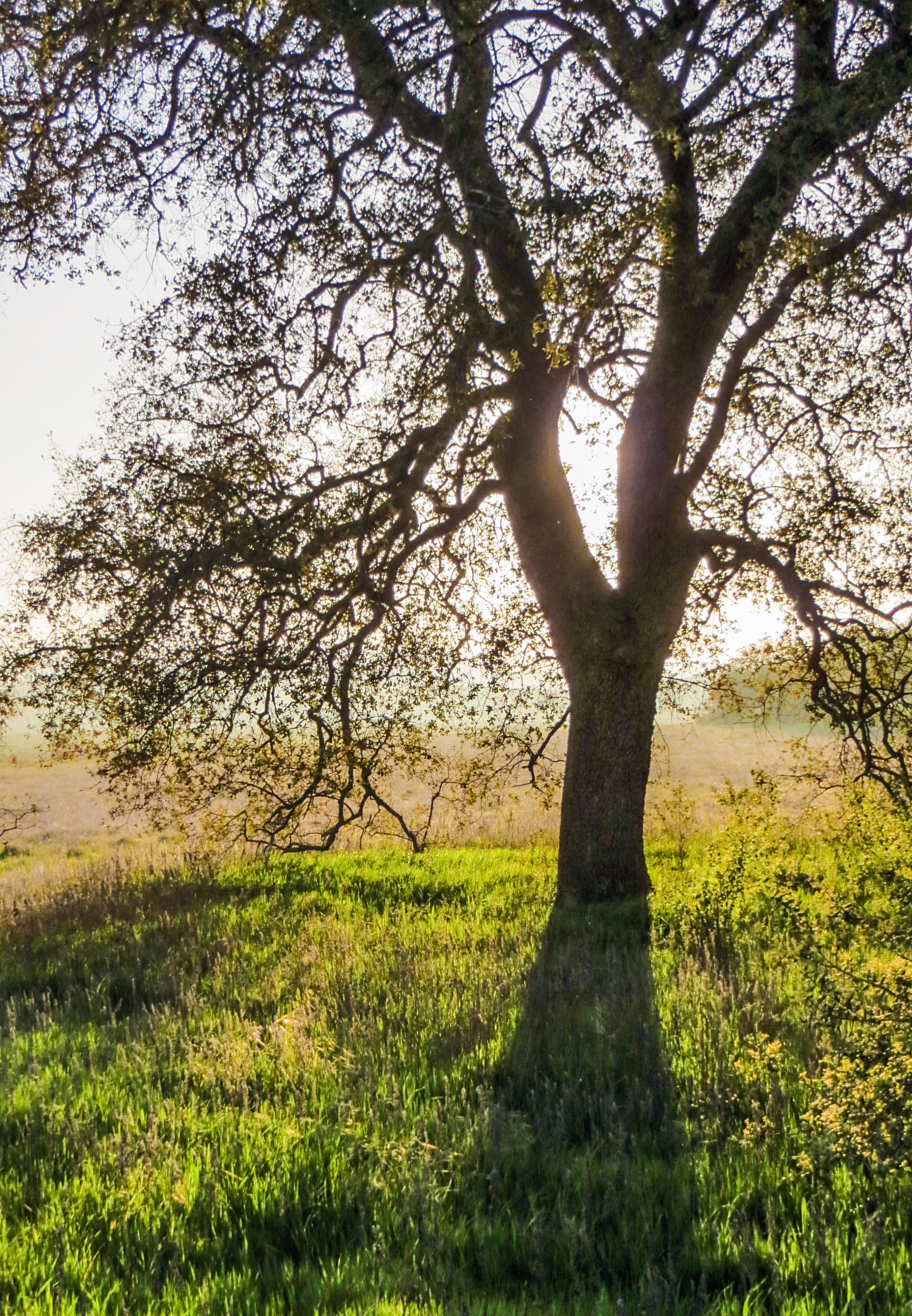
A Lone Oak on the Santa Rosa Plateau
WP_20131211_062.jpg
iPhone 4
Morning fog hanging low
Topographic Map of Hillcrest Ln, Fallbrook, CA, USA
Find elevation by address:

Places near Hillcrest Ln, Fallbrook, CA, USA:
1619 Hillcrest Ln
808 Hillcrest Terrace
1021 La Solana Dr
Fallbrook, CA, USA
1175 Riverview Dr
2402 El Cerise
642 S Main Ave
Fallbrook
1506 Linda St
1753 Premier St
842 S Ridge Dr
1636 Mcdonald Rd
2157 Green Briar Dr
445 Poets Square
2596 Los Alisos S
1528 Malaga Way
3192 Los Alisos Dr
3281 Yucca Terrace
411 Yucca Rd
1647 Via Vista
Recent Searches:
- Elevation of Corso Fratelli Cairoli, 35, Macerata MC, Italy
- Elevation of Tallevast Rd, Sarasota, FL, USA
- Elevation of 4th St E, Sonoma, CA, USA
- Elevation of Black Hollow Rd, Pennsdale, PA, USA
- Elevation of Oakland Ave, Williamsport, PA, USA
- Elevation of Pedrógão Grande, Portugal
- Elevation of Klee Dr, Martinsburg, WV, USA
- Elevation of Via Roma, Pieranica CR, Italy
- Elevation of Tavkvetili Mountain, Georgia
- Elevation of Hartfords Bluff Cir, Mt Pleasant, SC, USA