Elevation of Hill County Road, Hill County Rd, Whitney, TX, USA
Location: United States > Texas > Hill County > Whitney >
Longitude: -97.307707
Latitude: 31.9641449
Elevation: 184m / 604feet
Barometric Pressure: 99KPa
Elevation Map:
Satellite Map:
Related Photos:
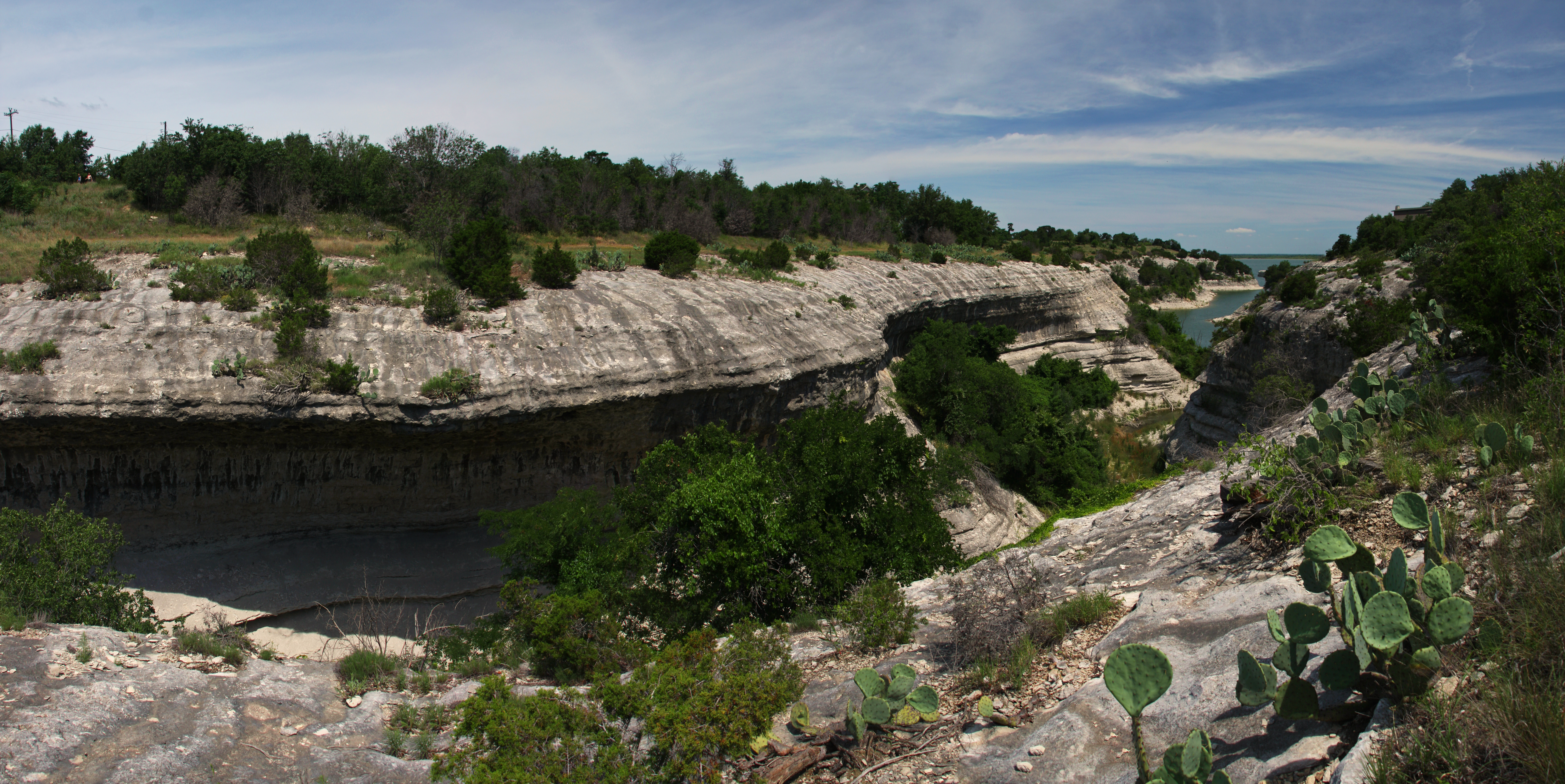
Lake Whitney Ranch

Lucky - rear view

Bike Packing 013 - view from camp site

Whitney Dam

lake whitney

On the Rocky Lakeshore

Half Full

Rocky Lake

Trying to Lie Down

Lake Whitney Dusk

Lake Whitney

W2W_2013__P5180158-2

Night swim.

Good morning bathroom

All swim.

20090314-_MG_0562

IMG_0321[1]
Topographic Map of Hill County Road, Hill County Rd, Whitney, TX, USA
Find elevation by address:

Places near Hill County Road, Hill County Rd, Whitney, TX, USA:
Whitney
N Brazos St, Whitney, TX, USA
Juniper Cove Road
Irving Dr, Whitney, TX, USA
246 Hcr 1311
TX-22, Hillsboro, TX, USA
FM, Whitney, TX, USA
15062 Golf Dr
Aquilla Lake
Farm To Market 309
County Road 3610a
FM, Hillsboro, TX, USA
Private Road 1407
Pr 1400w
422 County Rd 3625
Aquilla
Hill County
893 County Rd 3635
HCR, Abbott, TX, USA
182 County Rd 1313
Recent Searches:
- Elevation of Corso Fratelli Cairoli, 35, Macerata MC, Italy
- Elevation of Tallevast Rd, Sarasota, FL, USA
- Elevation of 4th St E, Sonoma, CA, USA
- Elevation of Black Hollow Rd, Pennsdale, PA, USA
- Elevation of Oakland Ave, Williamsport, PA, USA
- Elevation of Pedrógão Grande, Portugal
- Elevation of Klee Dr, Martinsburg, WV, USA
- Elevation of Via Roma, Pieranica CR, Italy
- Elevation of Tavkvetili Mountain, Georgia
- Elevation of Hartfords Bluff Cir, Mt Pleasant, SC, USA