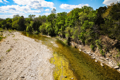
Elevation of County Rd, Whitney, TX, USA
Location: United States > Texas > Bosque County > Clifton >
Longitude: -97.316423
Latitude: 31.8238869
Elevation: 159m / 522feet
Barometric Pressure: 99KPa
Related Photos:
Topographic Map of County Rd, Whitney, TX, USA
Find elevation by address:

Places near County Rd, Whitney, TX, USA:
893 County Rd 3635
County Road 3610a
Aquilla
N Brazos St, Whitney, TX, USA
Whitney
Aquilla Lake
Hill County Road 1245
1929 Patrick Rd
FM 56, Clifton, TX, USA
Patrick Rd, Waco, TX, USA
HCR, Abbott, TX, USA
Juniper Cove Road
703 Sunset Oak
China Spring
Illinois Ave, China Spring, TX, USA
TX-22, Hillsboro, TX, USA
Irving Dr, Whitney, TX, USA
Private Road 1407
Pr 1400w
5409 Stillhouse Hollow Dr
Recent Searches:
- Elevation of Corso Fratelli Cairoli, 35, Macerata MC, Italy
- Elevation of Tallevast Rd, Sarasota, FL, USA
- Elevation of 4th St E, Sonoma, CA, USA
- Elevation of Black Hollow Rd, Pennsdale, PA, USA
- Elevation of Oakland Ave, Williamsport, PA, USA
- Elevation of Pedrógão Grande, Portugal
- Elevation of Klee Dr, Martinsburg, WV, USA
- Elevation of Via Roma, Pieranica CR, Italy
- Elevation of Tavkvetili Mountain, Georgia
- Elevation of Hartfords Bluff Cir, Mt Pleasant, SC, USA

