Elevation of Hiko, NV, USA
Location: United States > Nevada > Lincoln County >
Longitude: -115.21559
Latitude: 37.6282856
Elevation: 1200m / 3937feet
Barometric Pressure: 88KPa
Elevation Map:
Satellite Map:
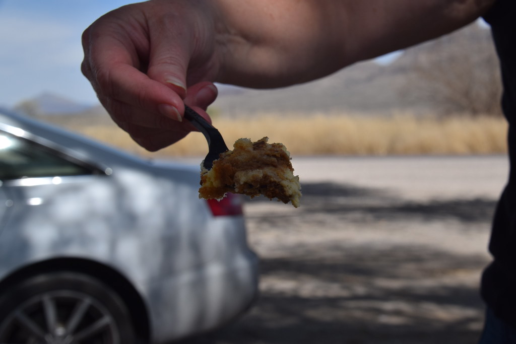
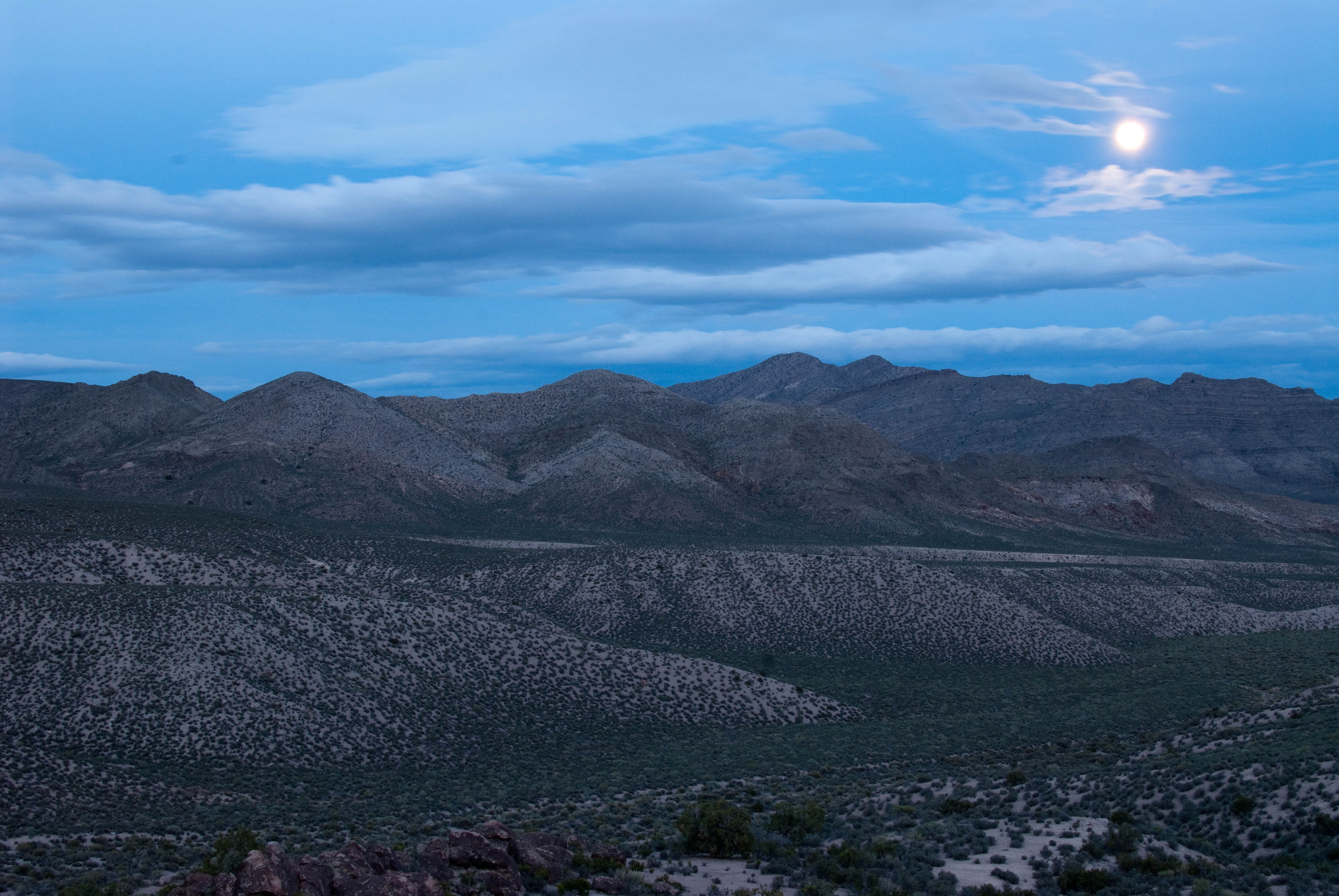
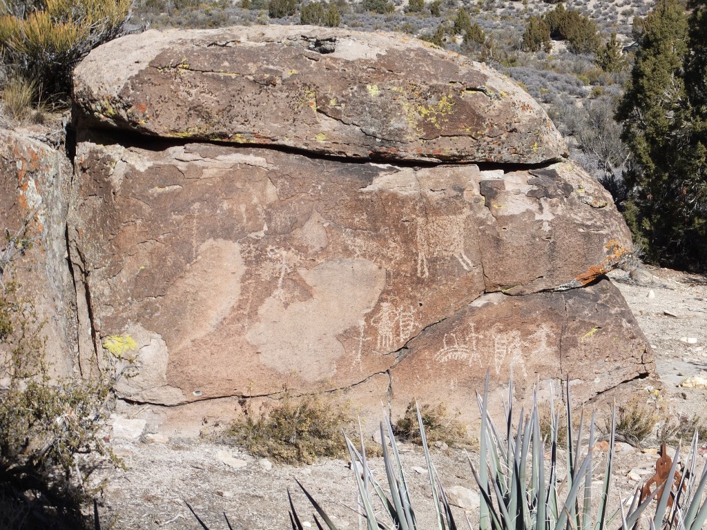
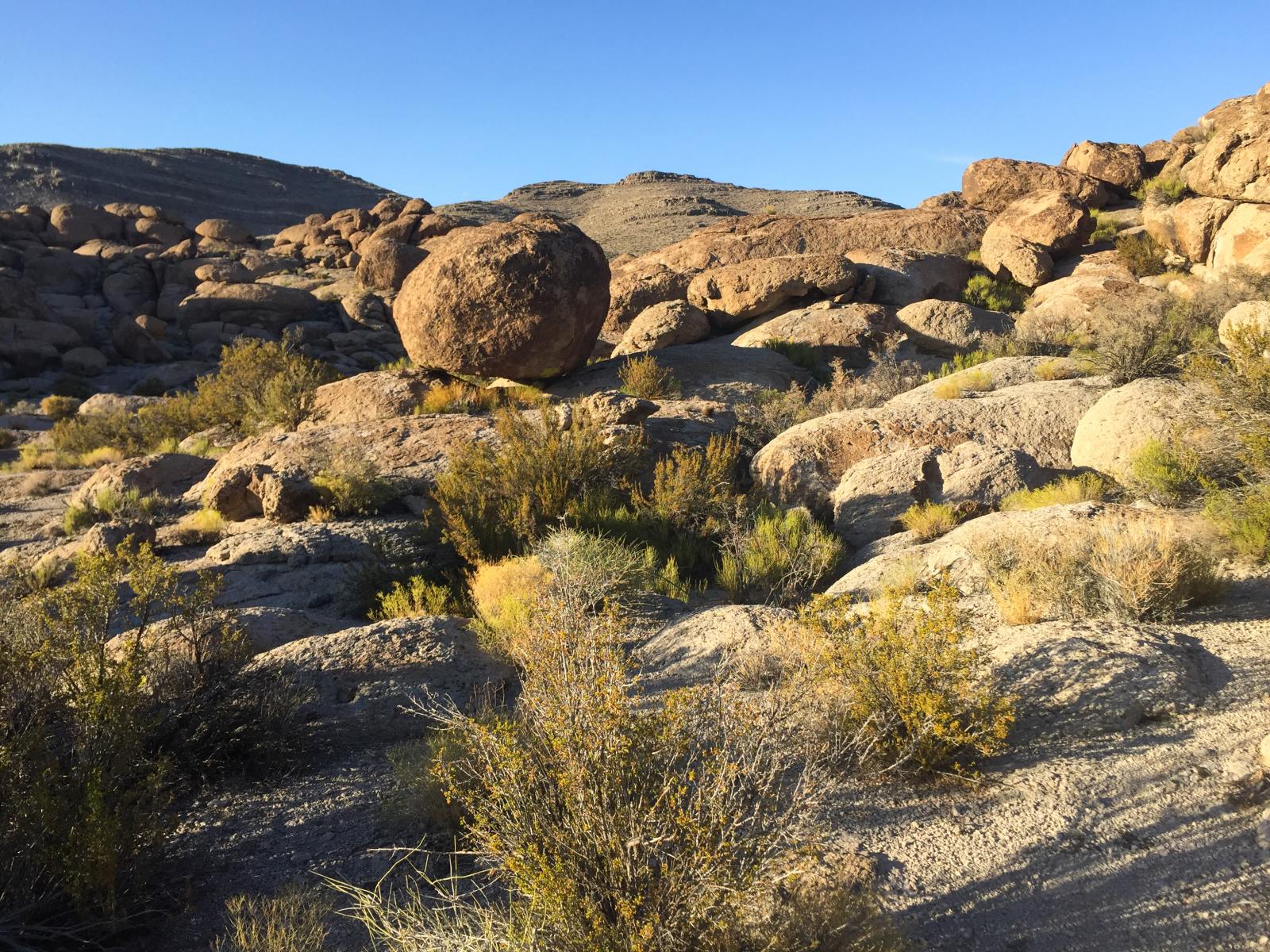
Related Photos:
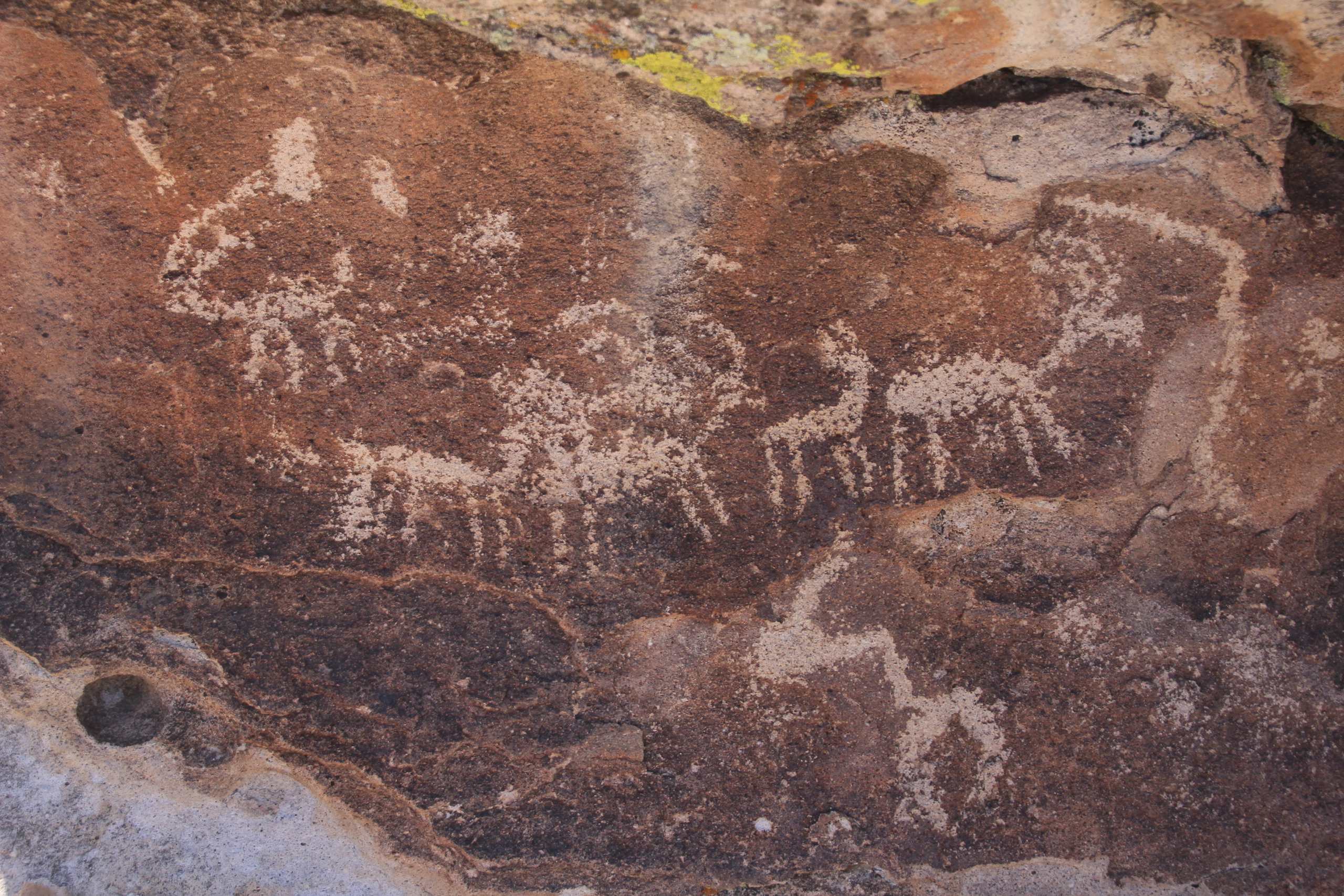
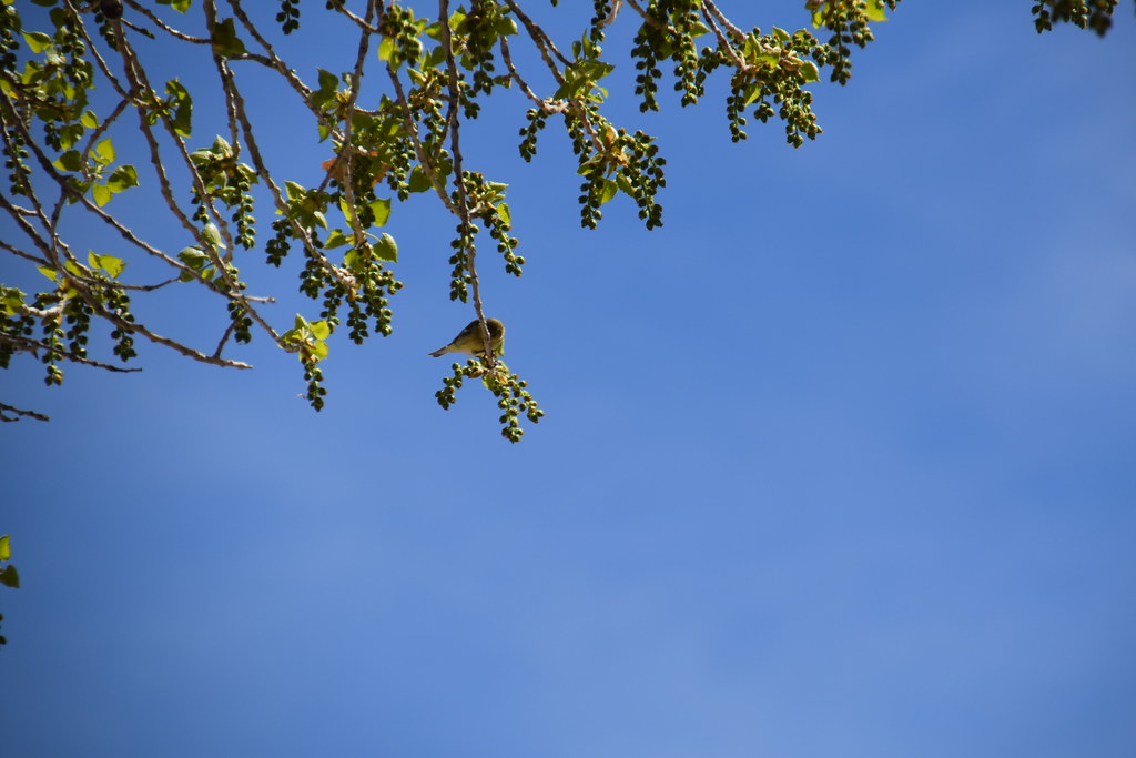
Animal Petroglyphs - Logan Canyon Road, S of Mt. Irish, W of Hiko, NV
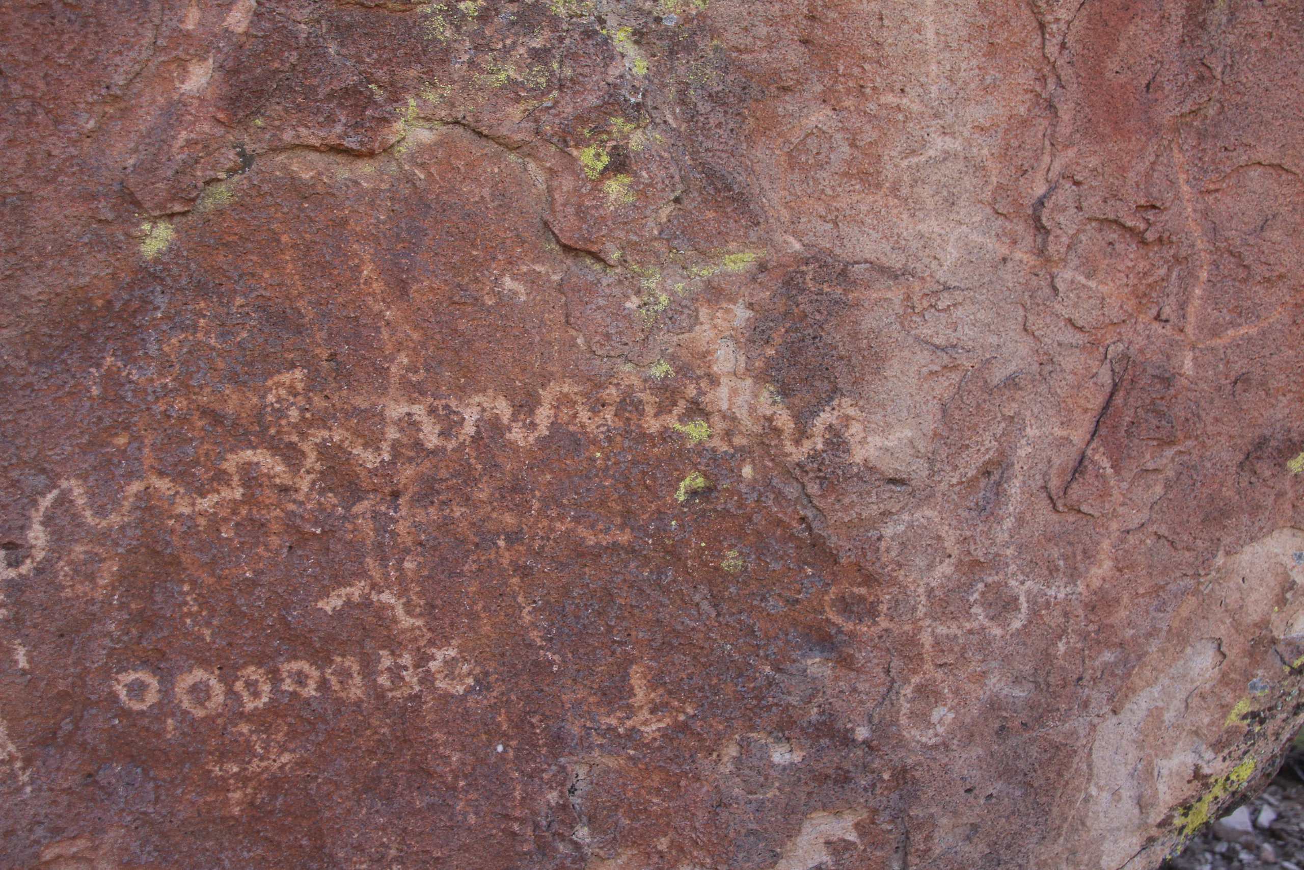
Snake - Petroglyph Site; Logan Canyon Road, S of Mt. Irish, W of Hiko, NV
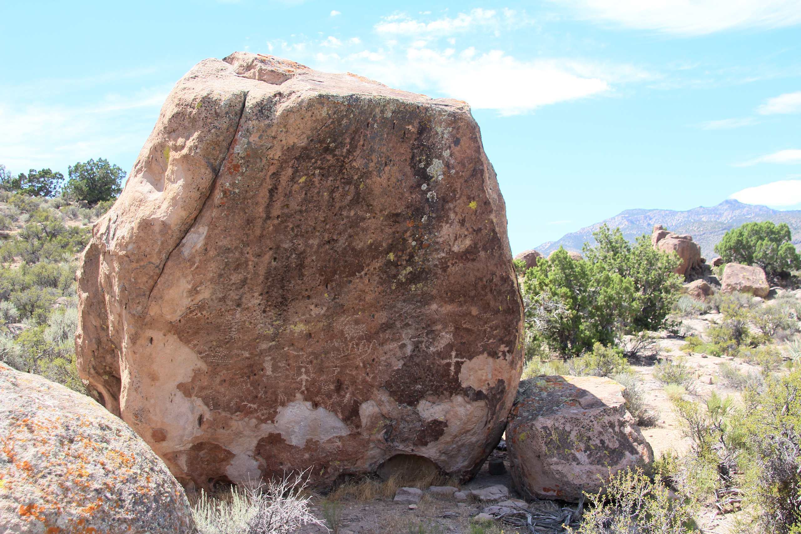
Front side of boulder - Petroglyph Site; Logan Canyon Road, S of Mt. Irish, W of Hiko, NV
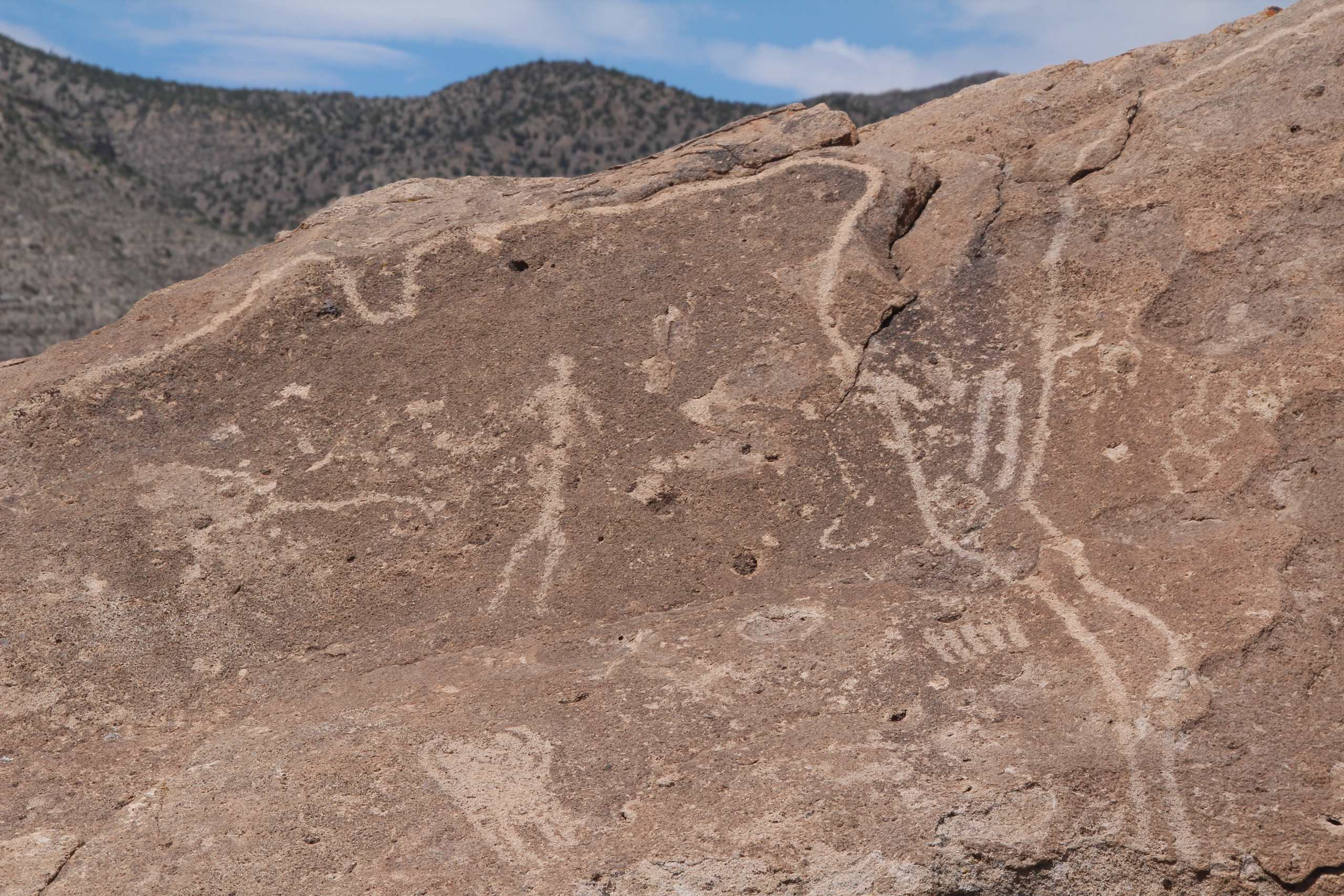
Petroglyphs on large rock with 'trail' on top of rock; Logan Canyon Road, S of Mt. Irish, W of Hiko, NV
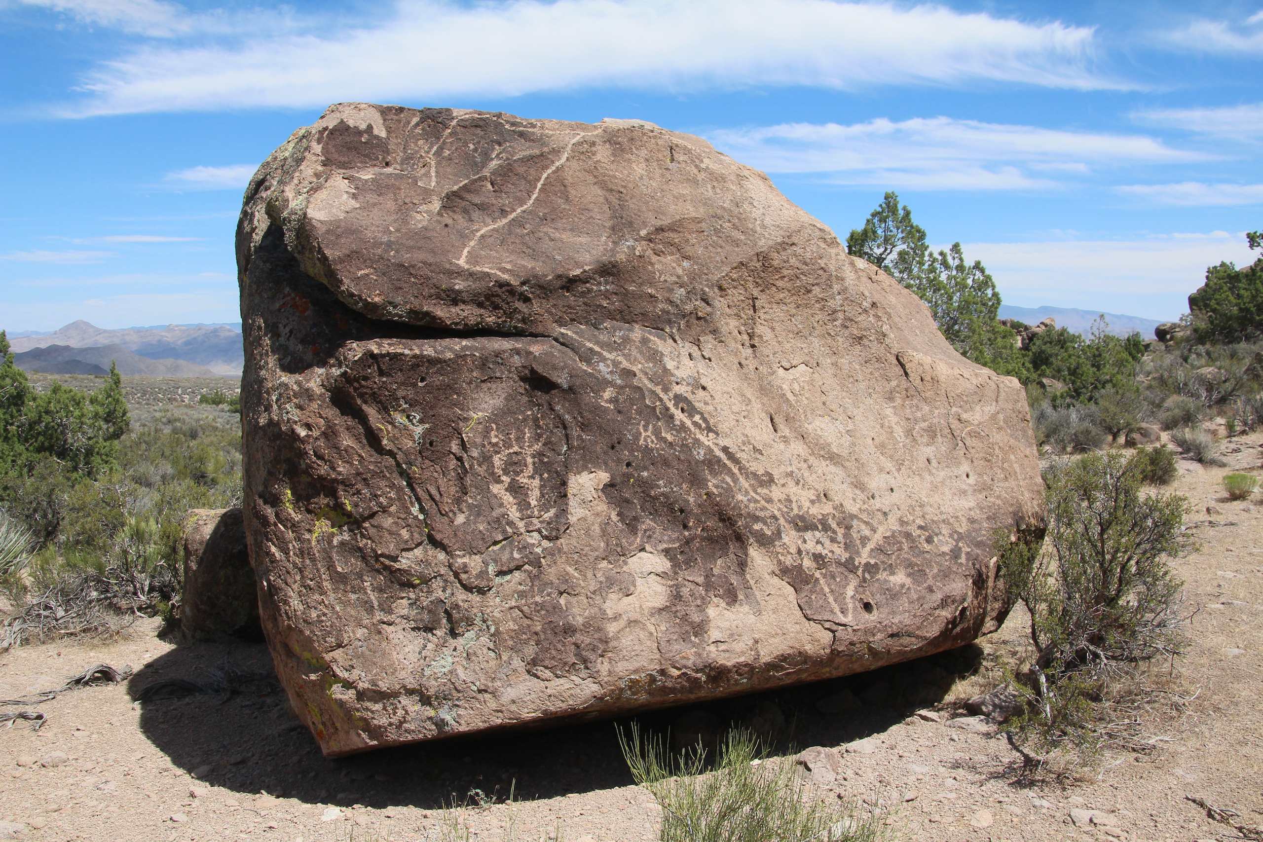
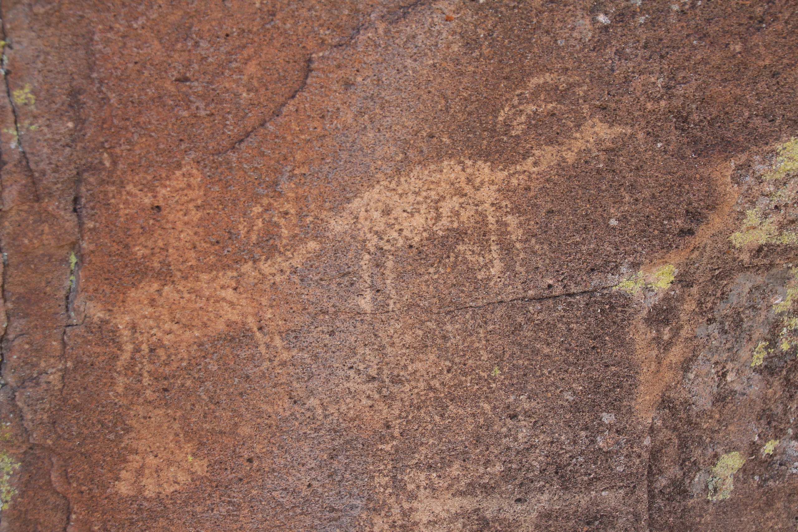
Petroglyphs - large rock with a map? - Logan Canyon Road, S of Mt. Irish, W of Hiko, NV
2 Big horned Sheep - Petroglyph Site; Logan Canyon Road, S of Mt. Irish, W of Hiko, NV
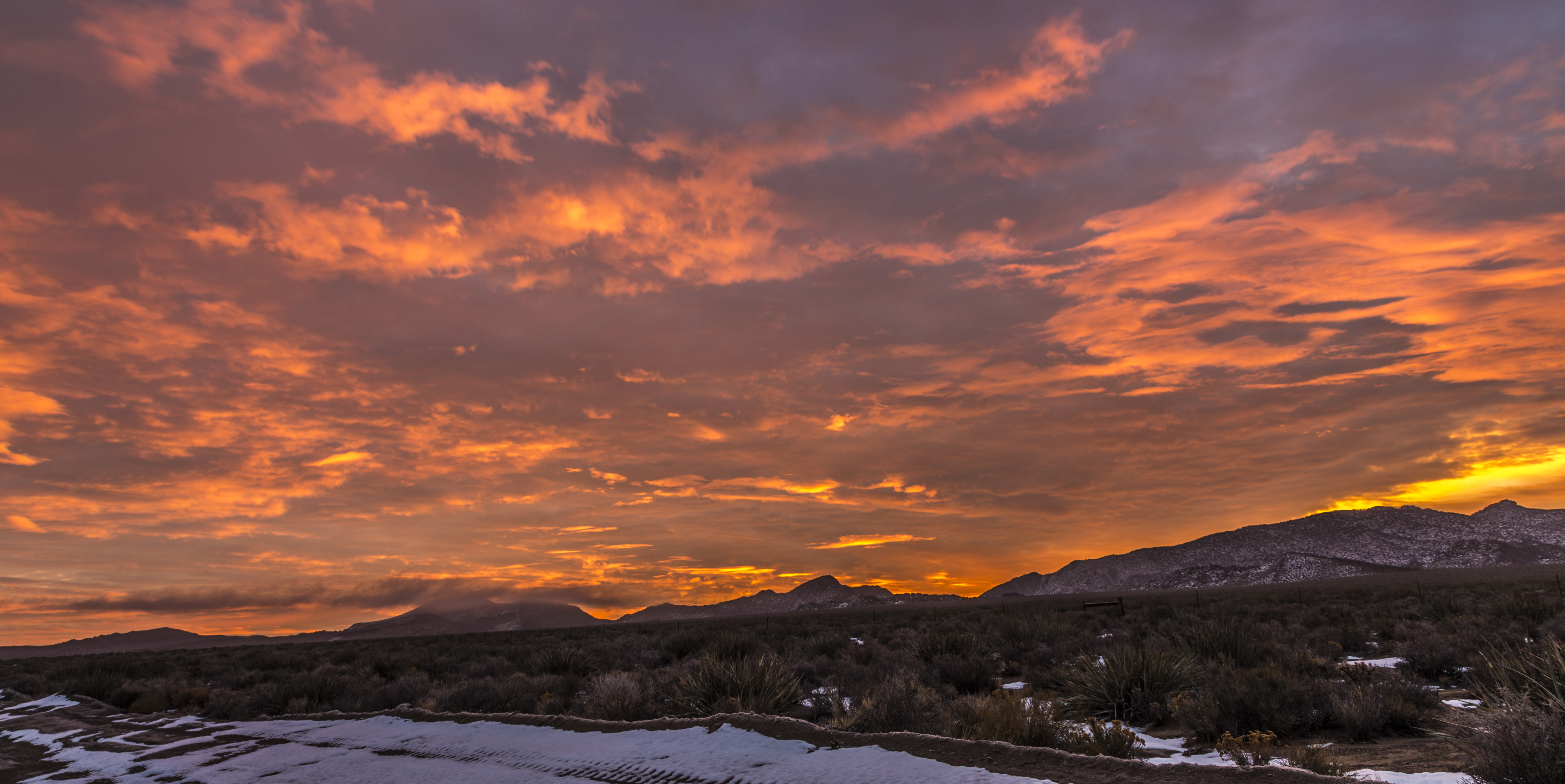
Great Basin Hwy sunset
20170319 121810 1SL6

20170319 122414 1SL6
20170319 122132 1SL6
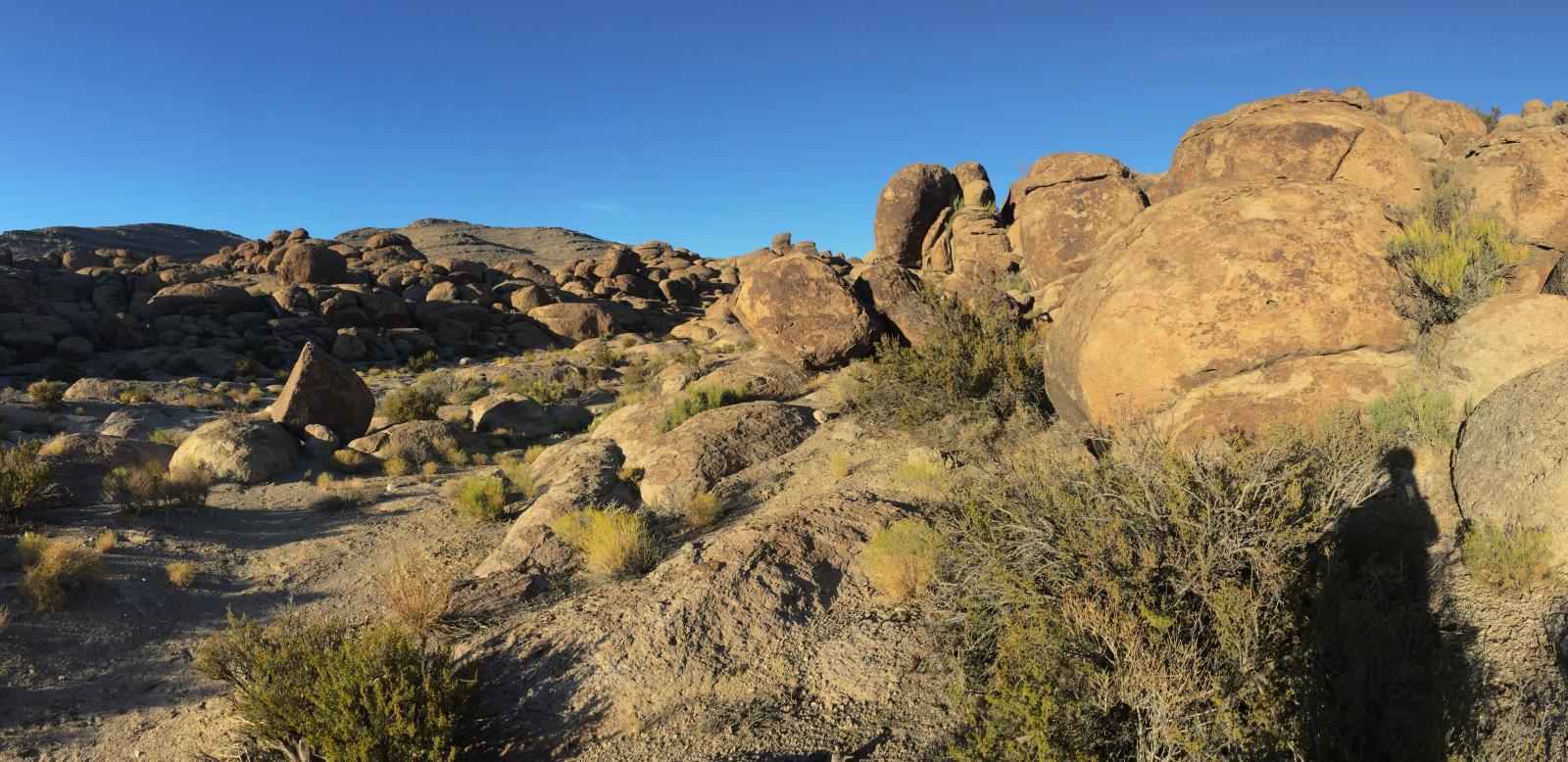
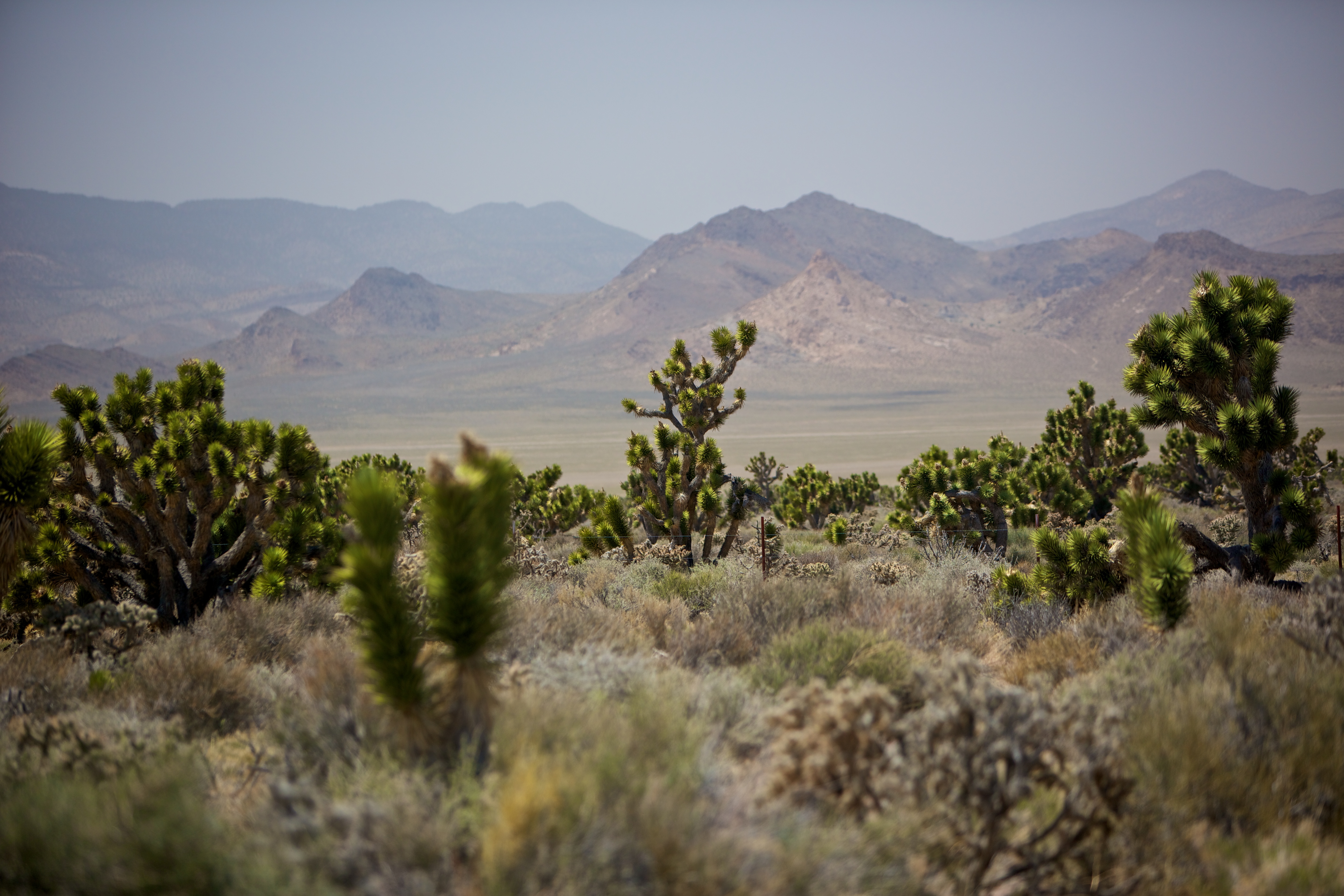
Bird Springs Wash, Basin and Range National Monument
DSCF1608 (Medium)
Crystal Wash rock art
Crystal Wash Entrance Site, Near Ash Springs, Nevada
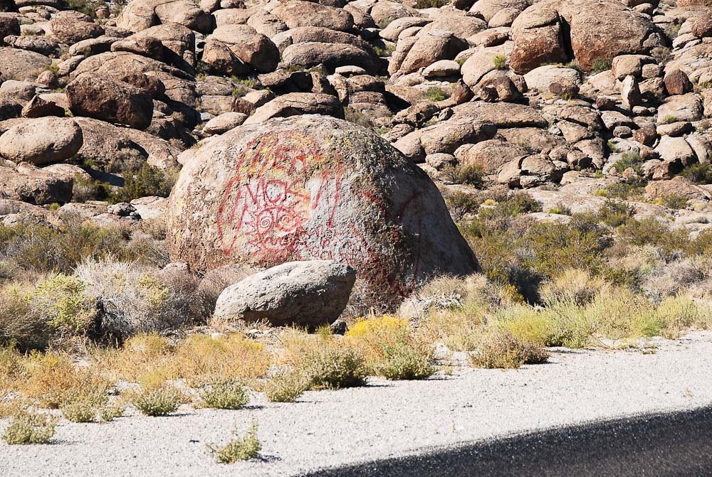
Highway graffiti... 20100928_6401
Crystal Wash rock art

20170319 123142 1SL6

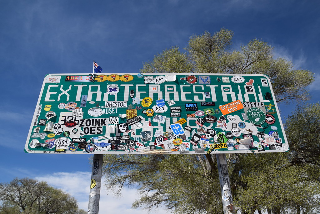
Extraterrestrial Highway
20170319 122327 1SL6
20170319 123143 1SL6
Near Alamo Nevada
Topographic Map of Hiko, NV, USA
Find elevation by address:

Places in Hiko, NV, USA:
Places near Hiko, NV, USA:
Logan Canyon Road
Crystal Springs
Alamo
Highland Peak
Lincoln County
Caliente
447 Mccannon St
465 Mccannon St
Pioche
590 Pioche St
Eagle Point
Miller Point Trail
Nevada State Park Regional Visitor's Center
Lincoln County High School
Panaca
NV-, Moapa, NV, USA
Frehner Ranch Rd, Pioche, NV, USA
Dry Valley
501 Wally Kay Way
Moapa
Recent Searches:
- Elevation of Corso Fratelli Cairoli, 35, Macerata MC, Italy
- Elevation of Tallevast Rd, Sarasota, FL, USA
- Elevation of 4th St E, Sonoma, CA, USA
- Elevation of Black Hollow Rd, Pennsdale, PA, USA
- Elevation of Oakland Ave, Williamsport, PA, USA
- Elevation of Pedrógão Grande, Portugal
- Elevation of Klee Dr, Martinsburg, WV, USA
- Elevation of Via Roma, Pieranica CR, Italy
- Elevation of Tavkvetili Mountain, Georgia
- Elevation of Hartfords Bluff Cir, Mt Pleasant, SC, USA