Elevation of Moapa, NV, USA
Location: United States > Nevada > Clark County >
Longitude: -114.59415
Latitude: 36.682194
Elevation: 489m / 1604feet
Barometric Pressure: 96KPa
Elevation Map:
Satellite Map:
Related Photos:
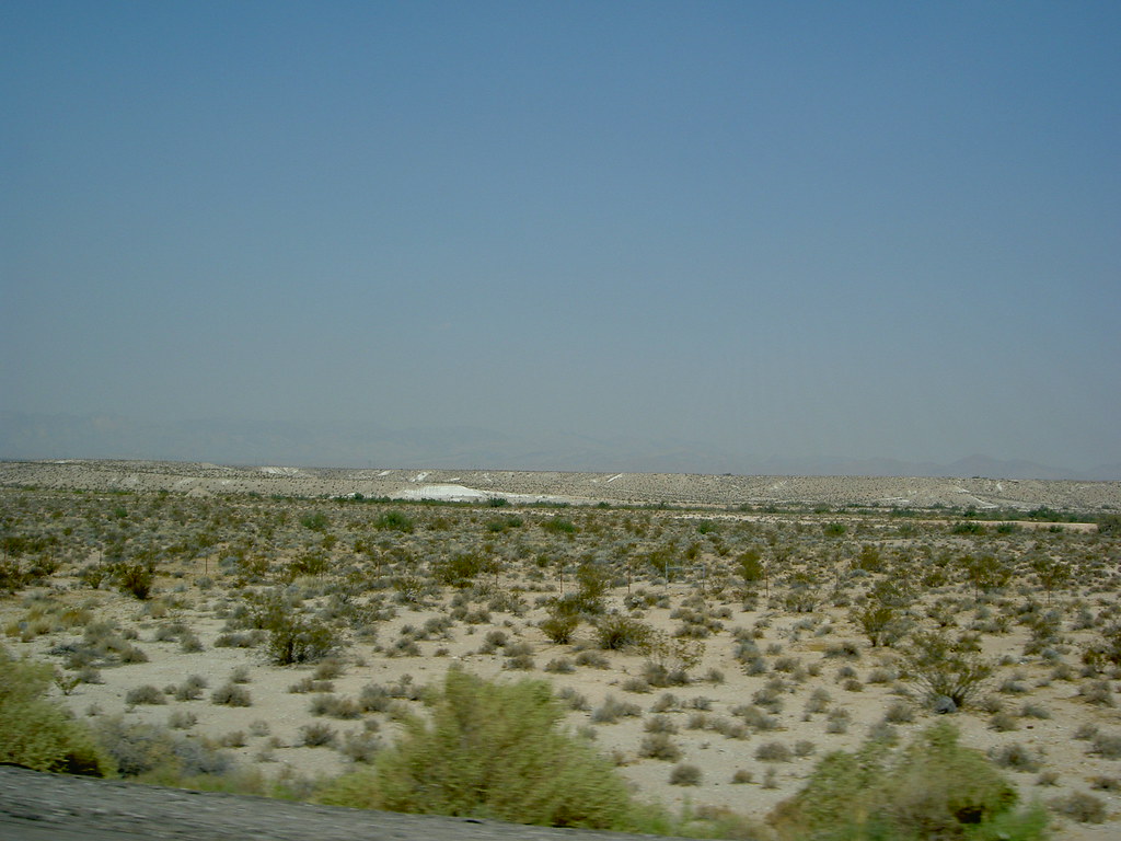
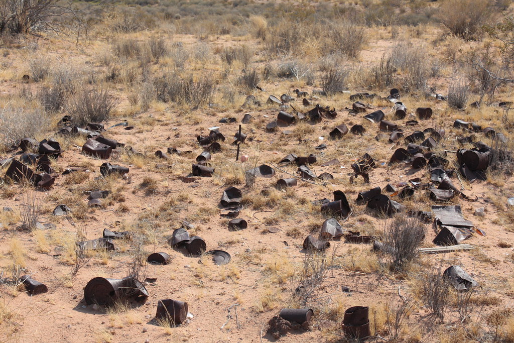
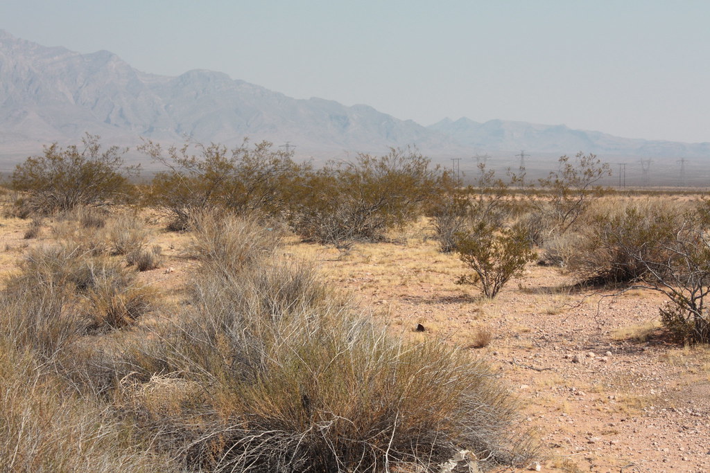
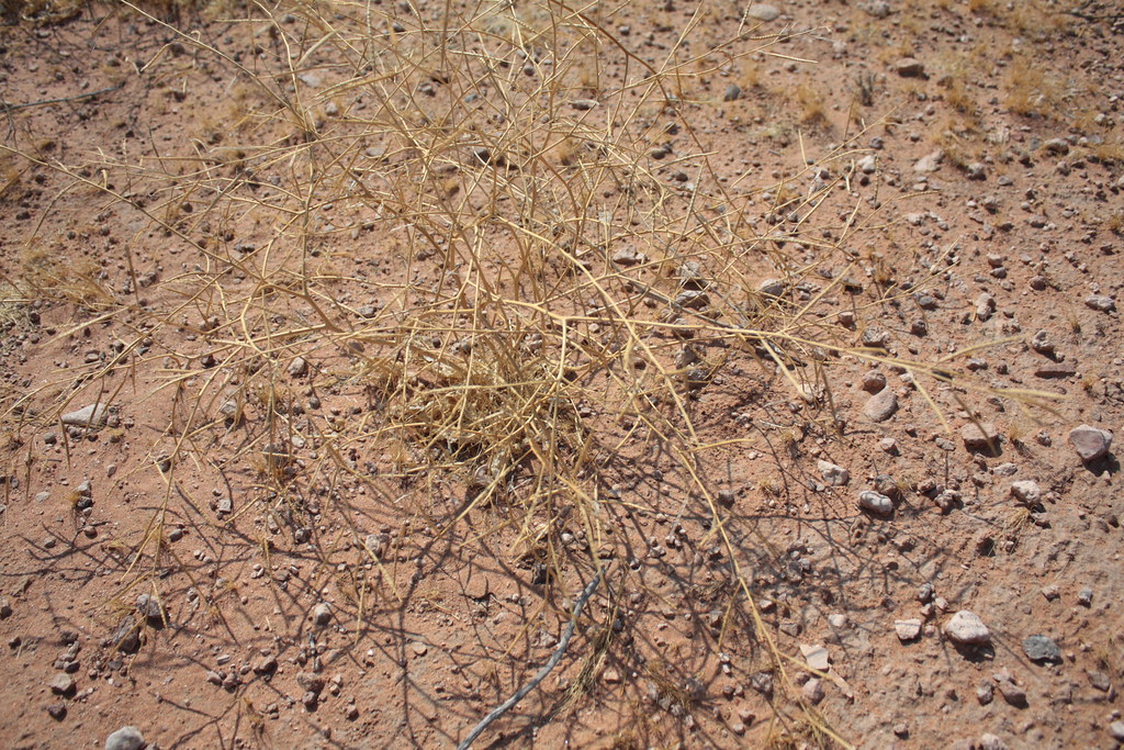
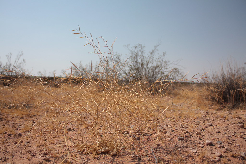
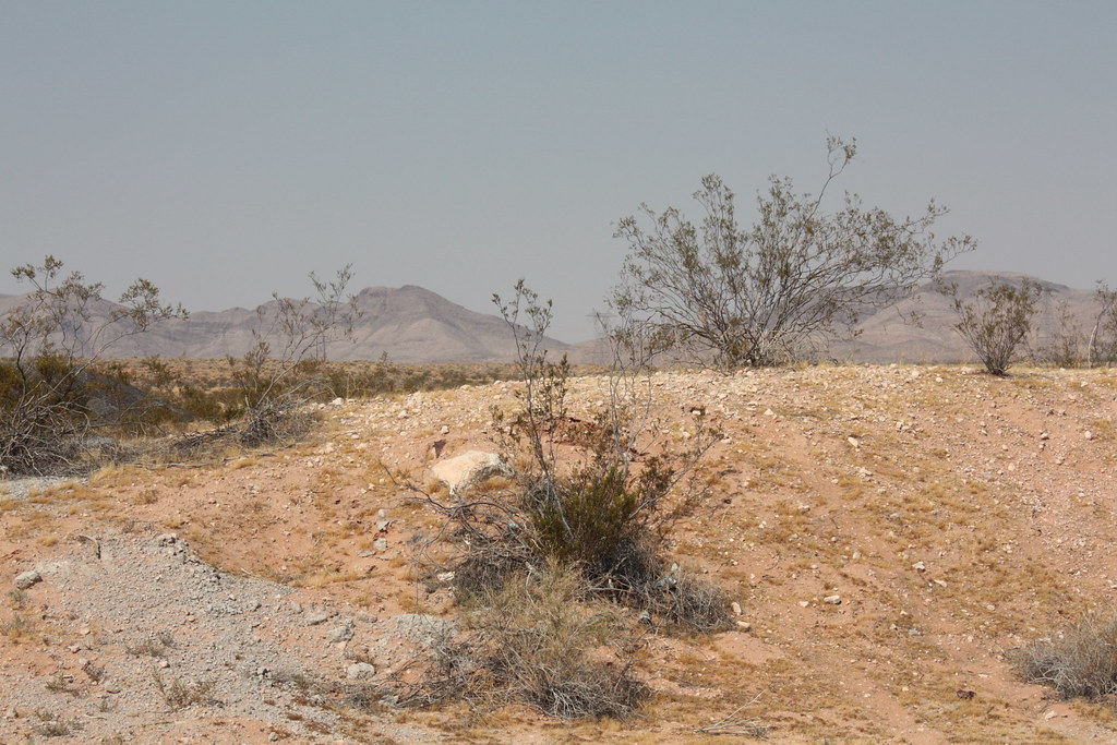
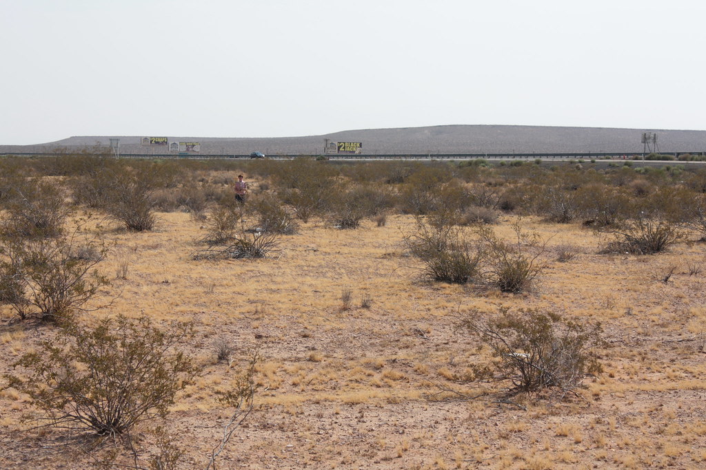
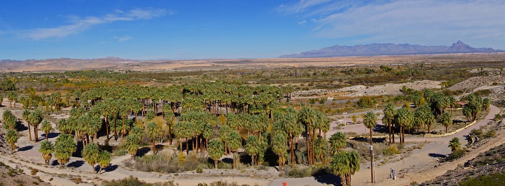
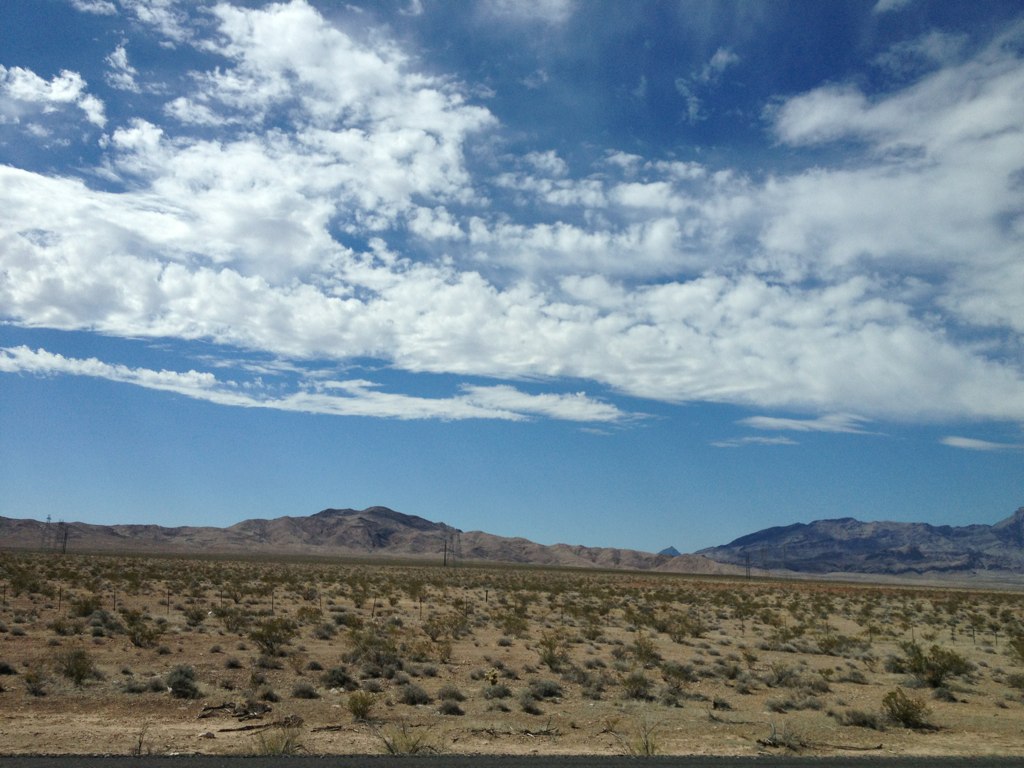
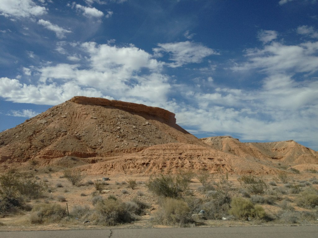
From Cedar City to Las Vegas, Views from the Road
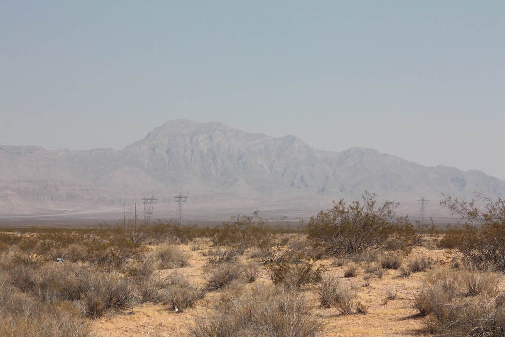
From Cedar City to Las Vegas, Views from the Road
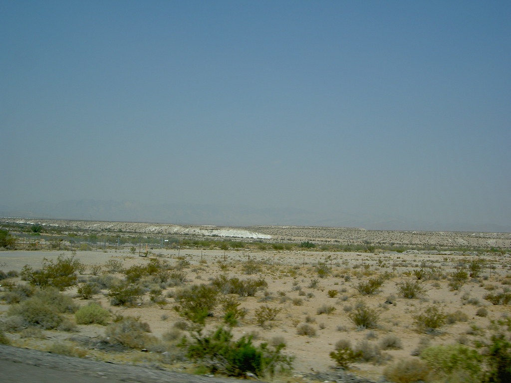
From Cedar City to Las Vegas, Views from the Road
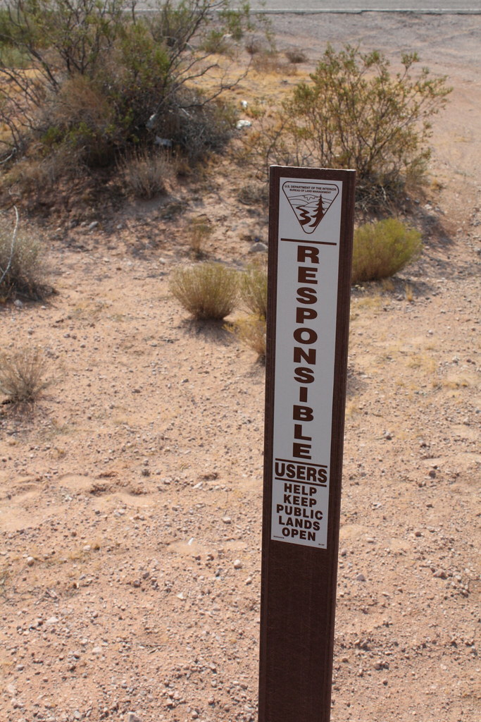
From Cedar City to Las Vegas, Views from the Road
From Cedar City to Las Vegas, Views from the Road
From Cedar City to Las Vegas, Views from the Road
From Cedar City to Las Vegas, Views from the Road
From Cedar City to Las Vegas, Views from the Road
From Cedar City to Las Vegas, Views from the Road
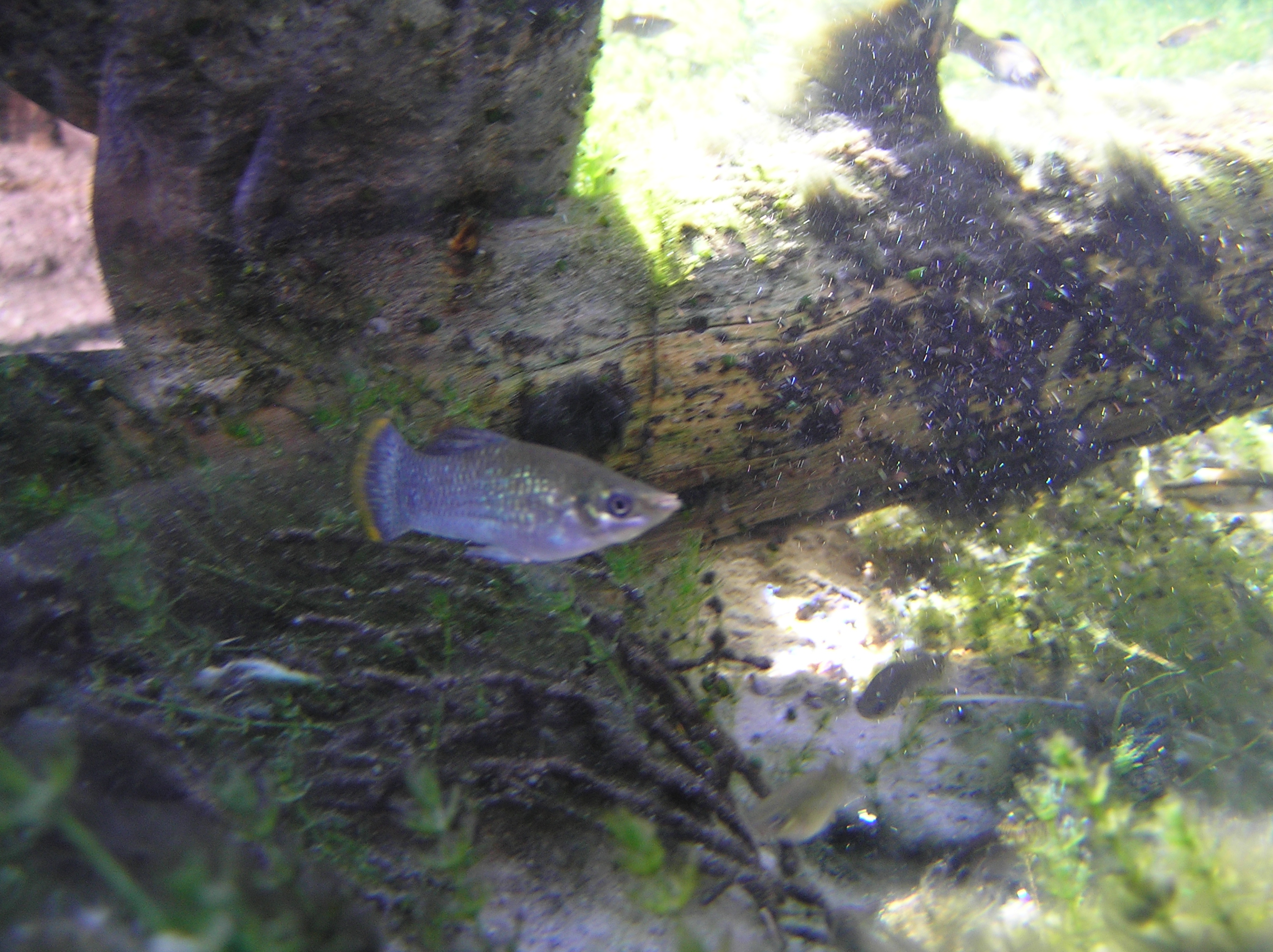
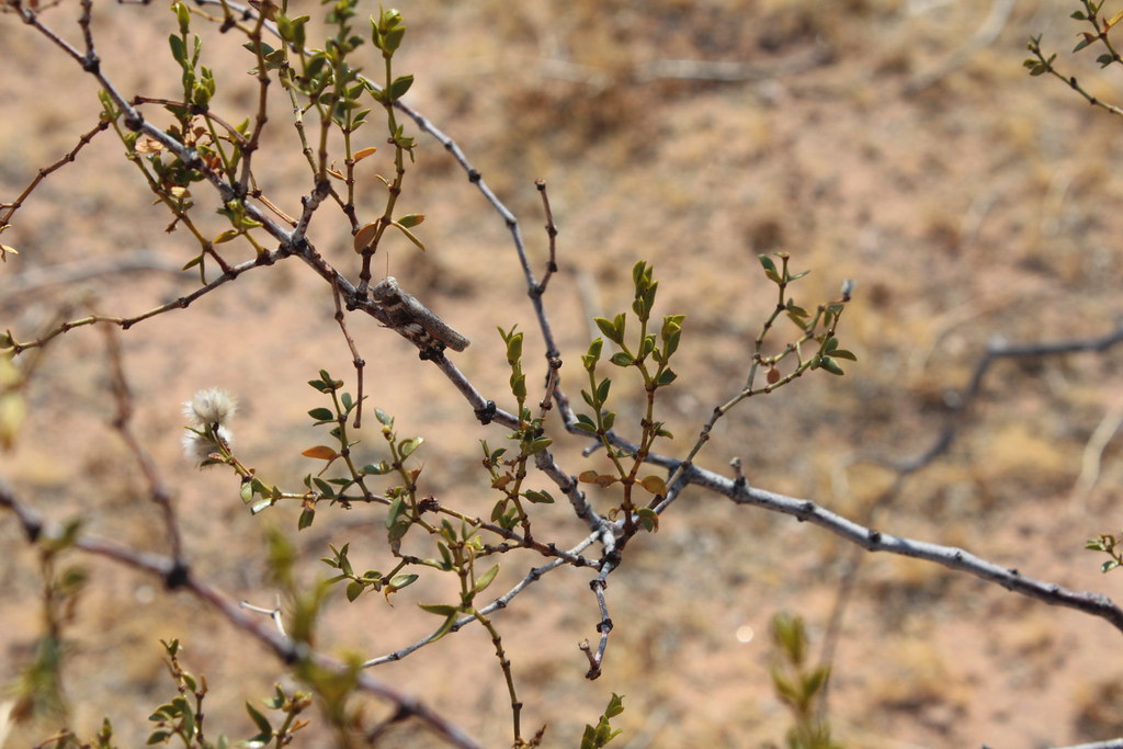
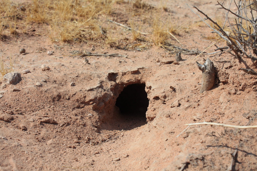
Pupfish, Moapa, Nevada
From Cedar City to Las Vegas, Views from the Road
From Cedar City to Las Vegas, Views from the Road
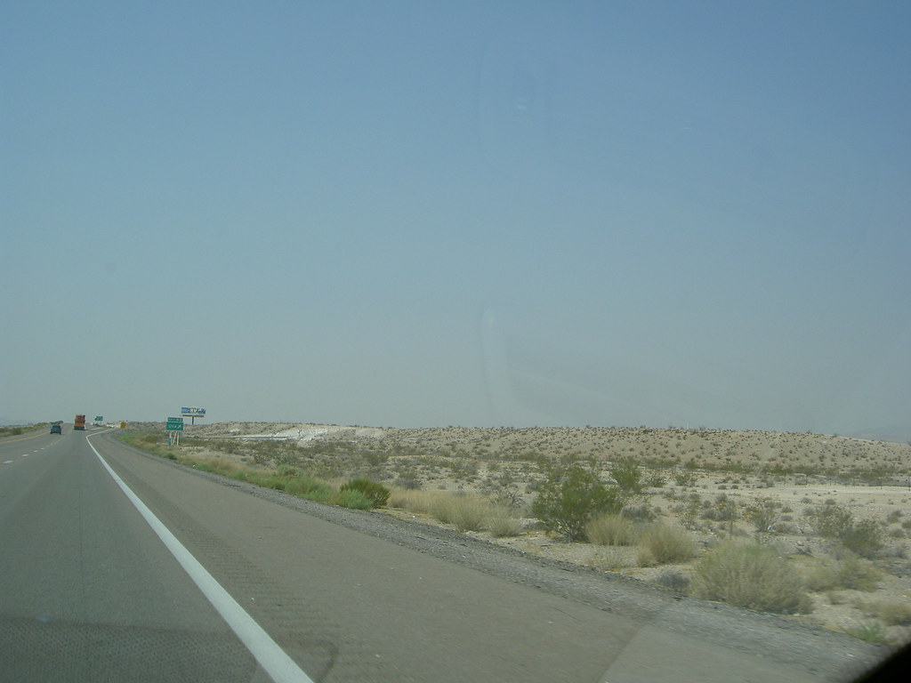
From Cedar City to Las Vegas, Views from the Road
From Cedar City to Las Vegas, Views from the Road
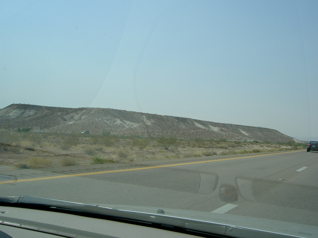
From Cedar City to Las Vegas, Views from the Road
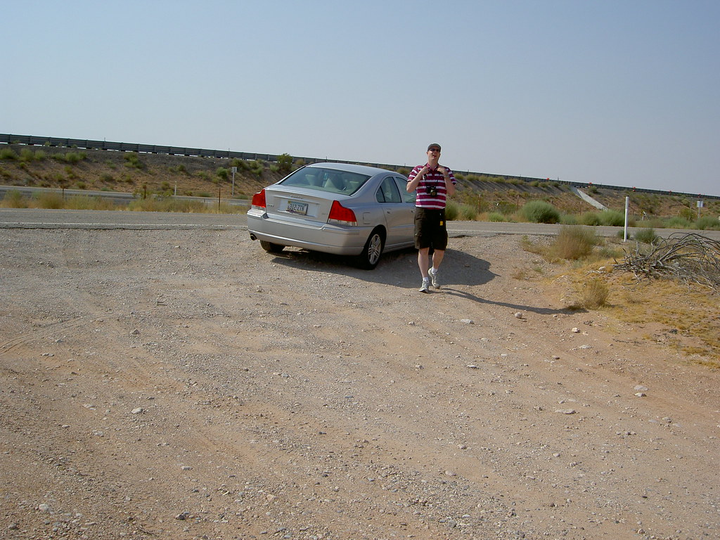
From Cedar City to Las Vegas, Views from the Road

A65V2 012 (2) Fish Viewing Area
A65V2 019 (3) Viewed From The Top
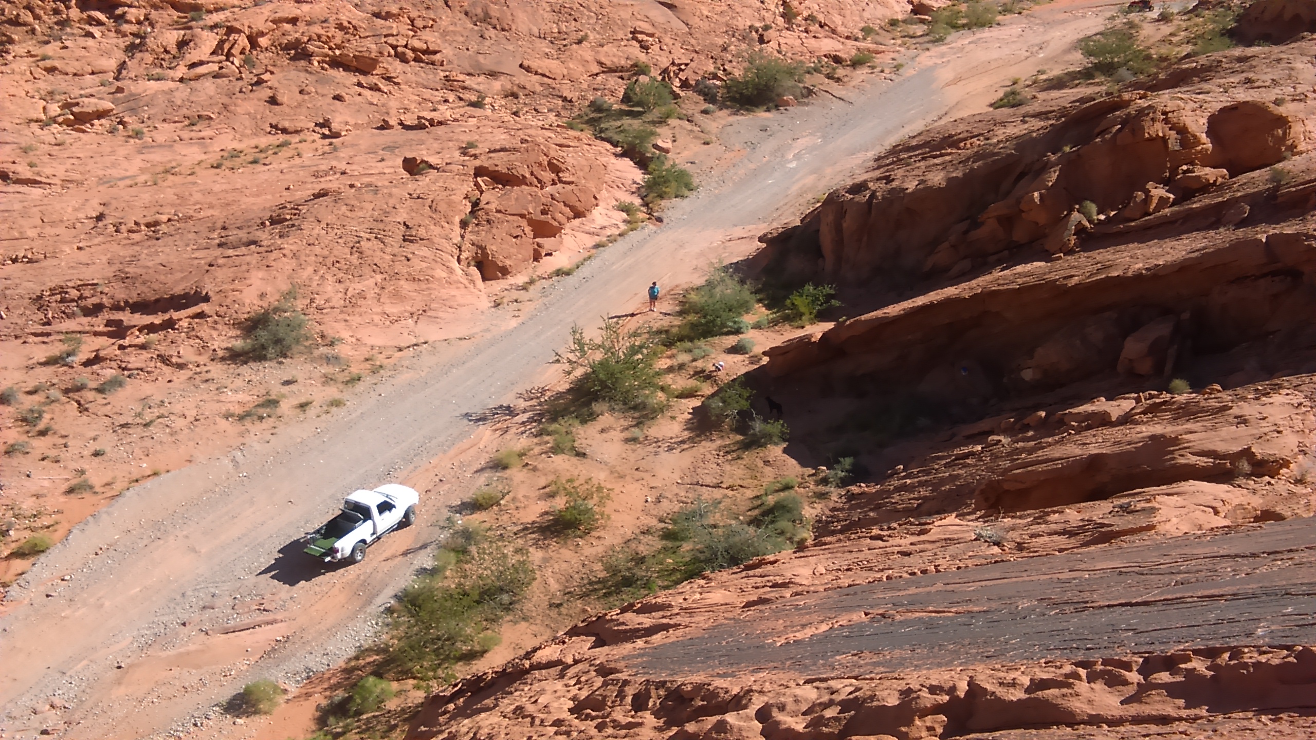
Slick rock climbing in Moapa Valley
A road through amazing

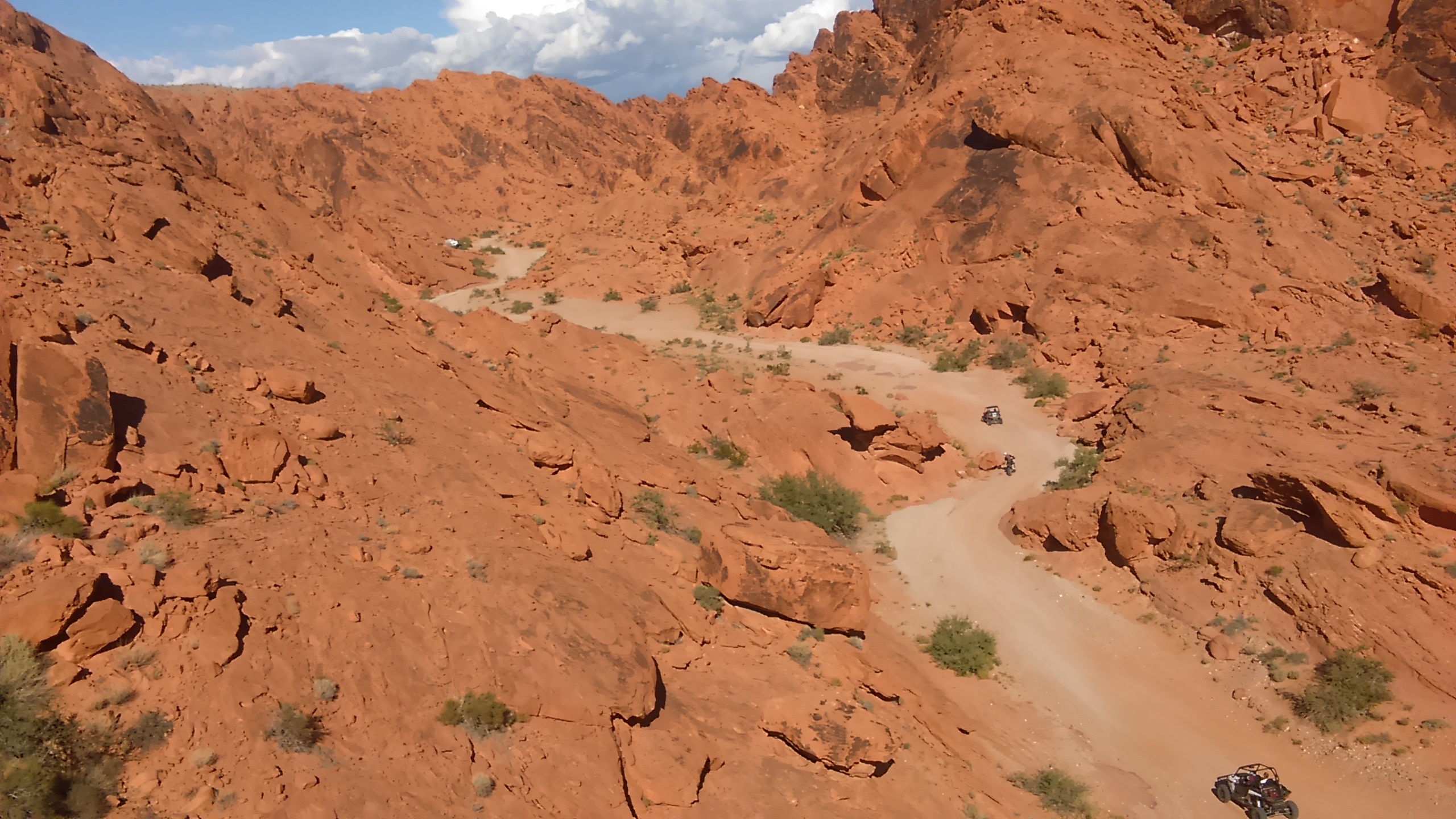
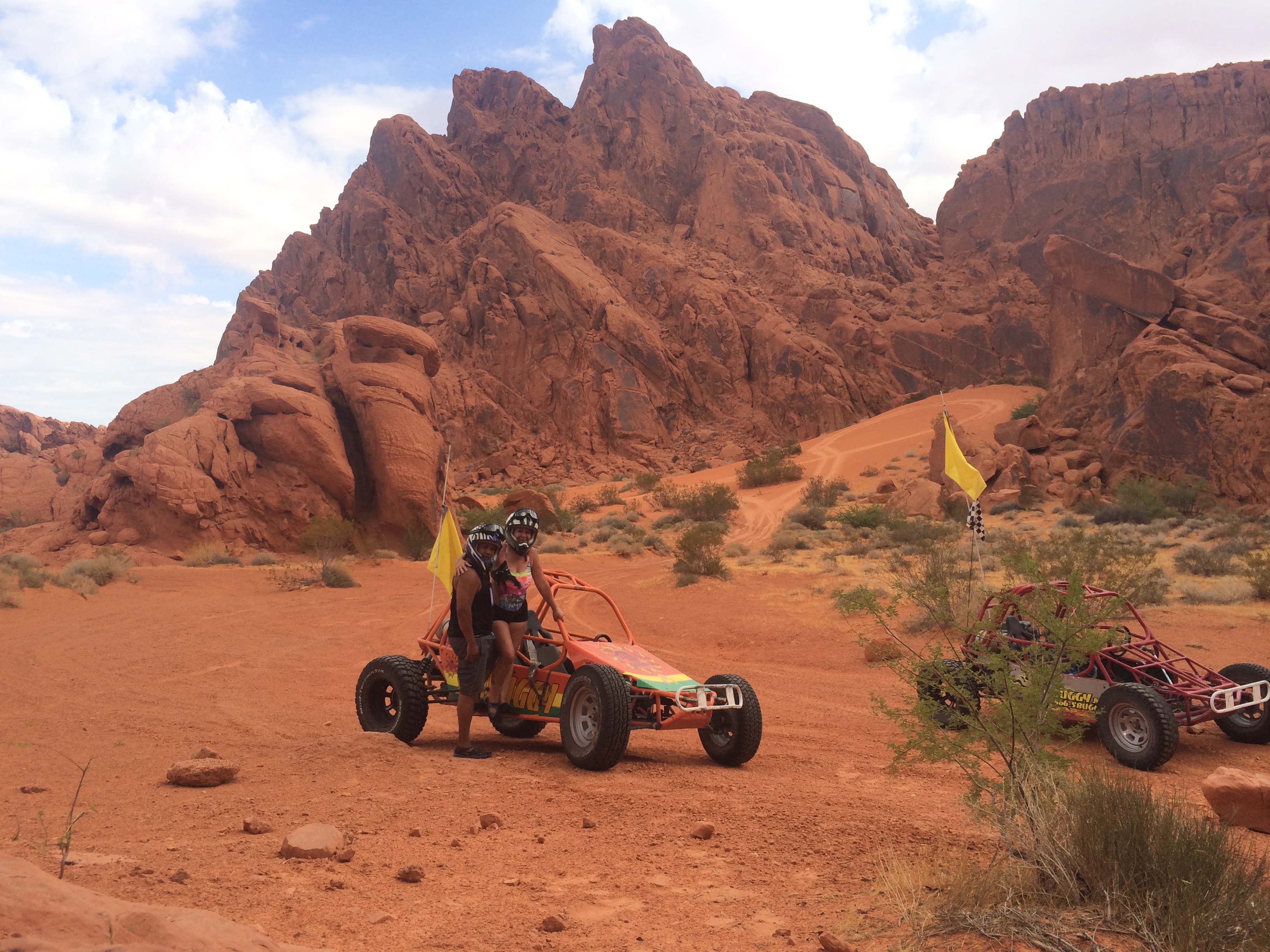
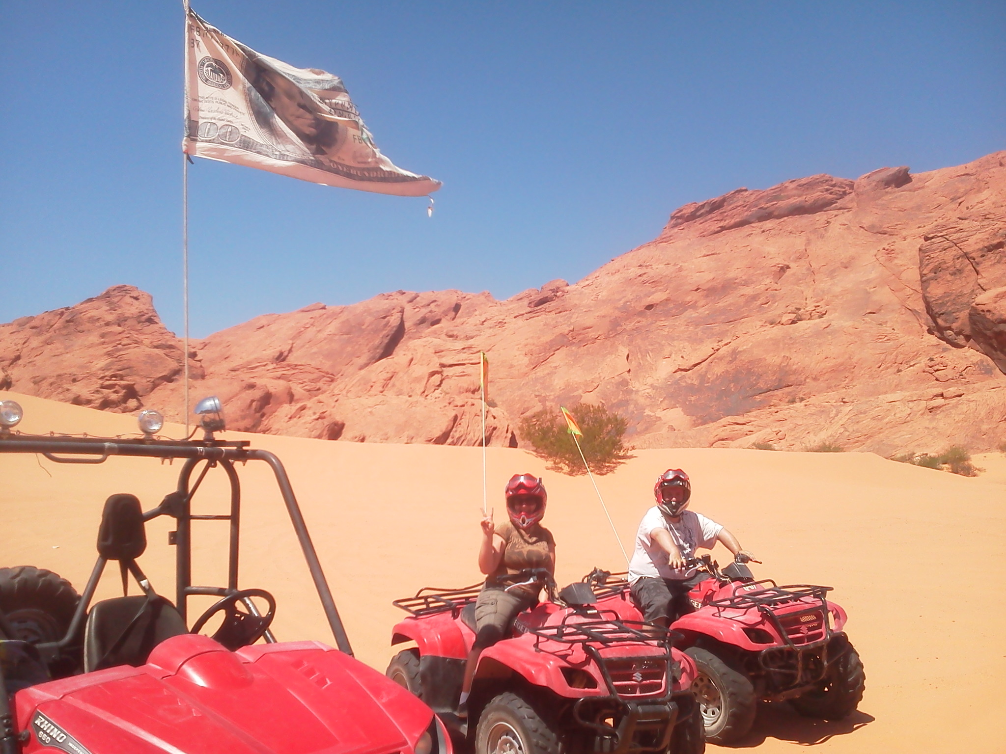
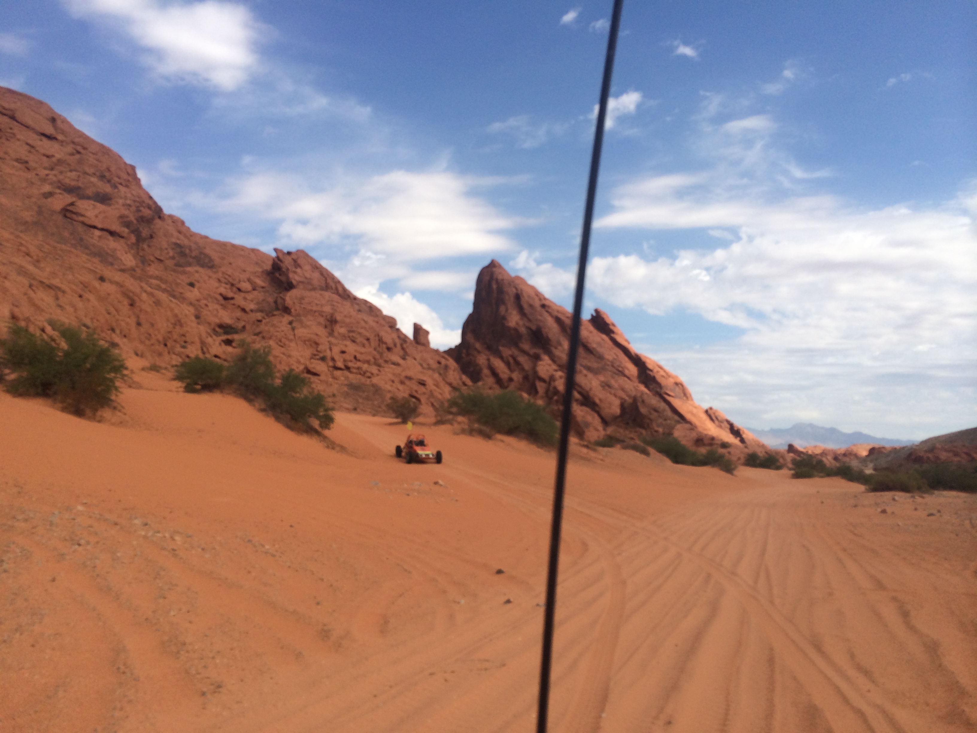
SunBuggy Valley Of Fire
V.O.F Jan 25th Fernando's tour
7a V.0.F
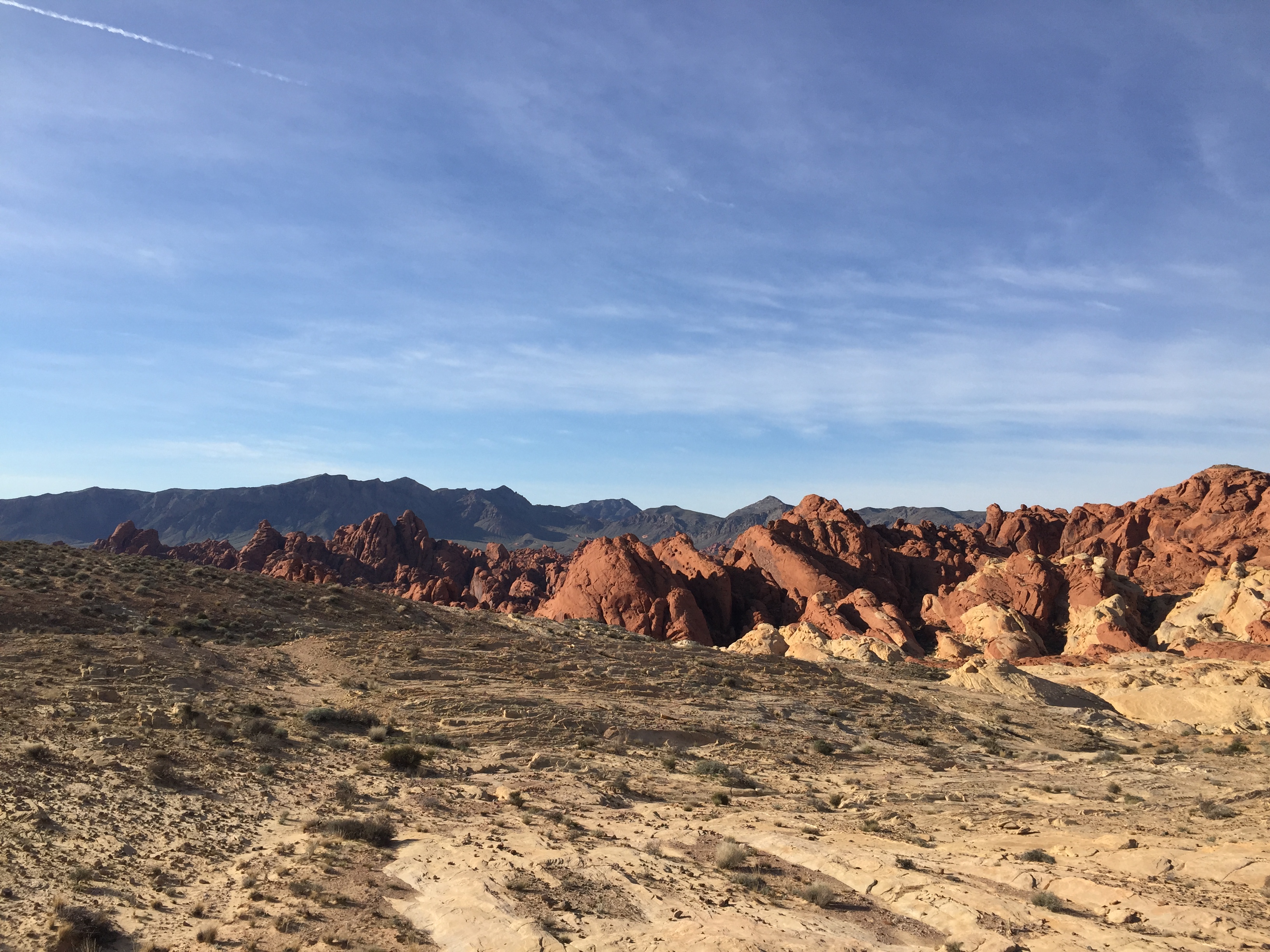
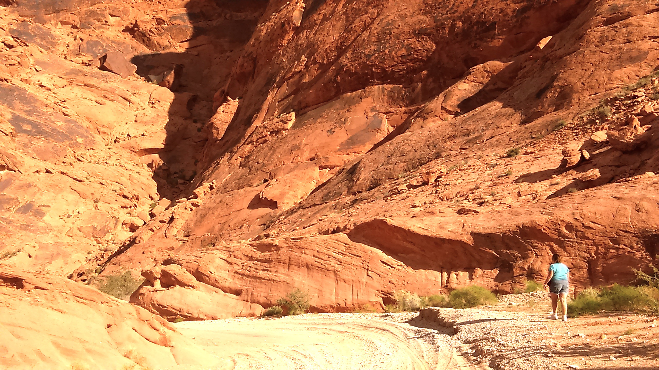
Valley Of Fire State Park, Nevada
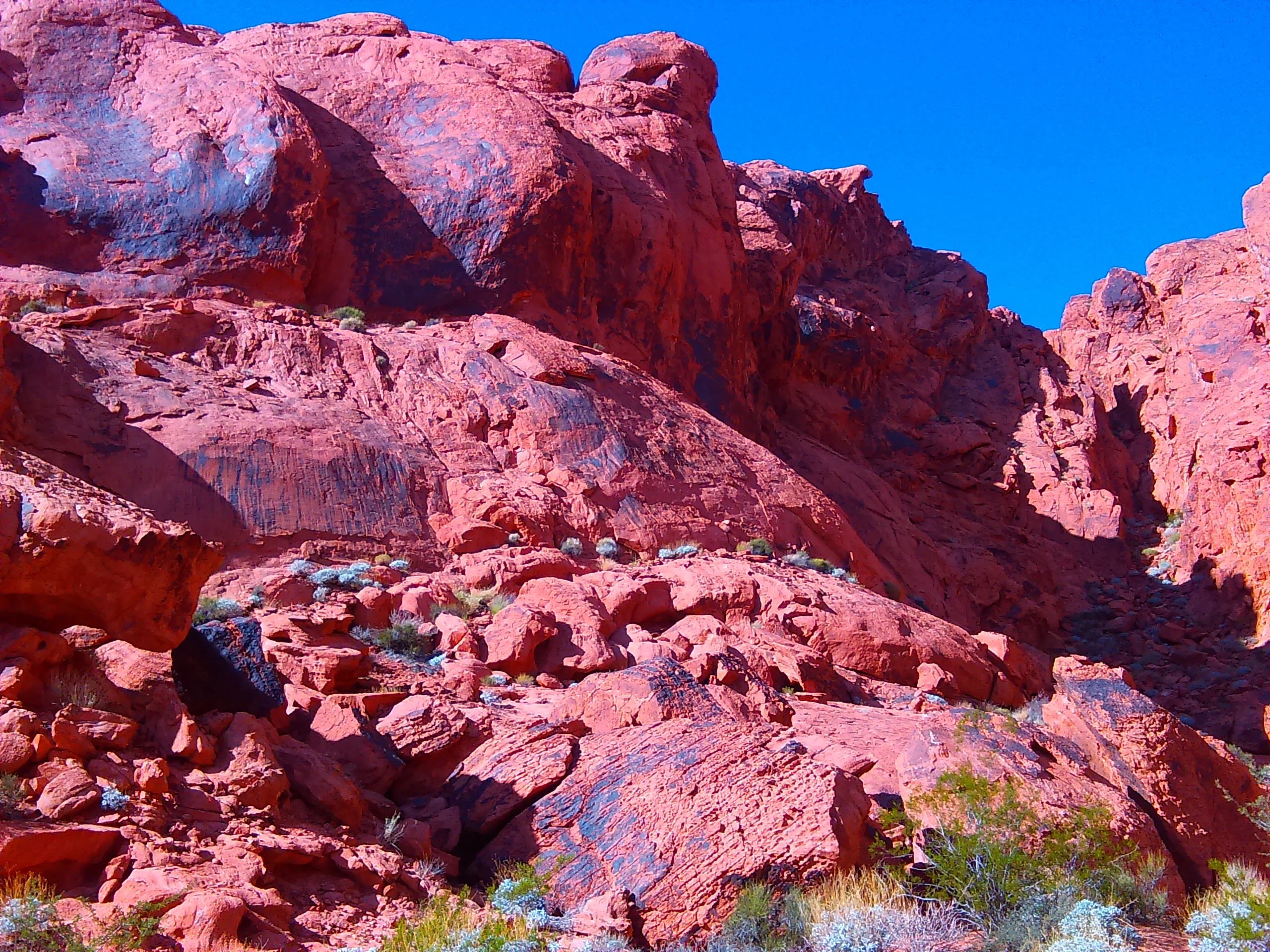
Red rocks
2012-07-01 15.41.32
Vof Fernando's group

V.O.F Jan 26 2015 Fernando's tour
2012-07-01 15.46.40

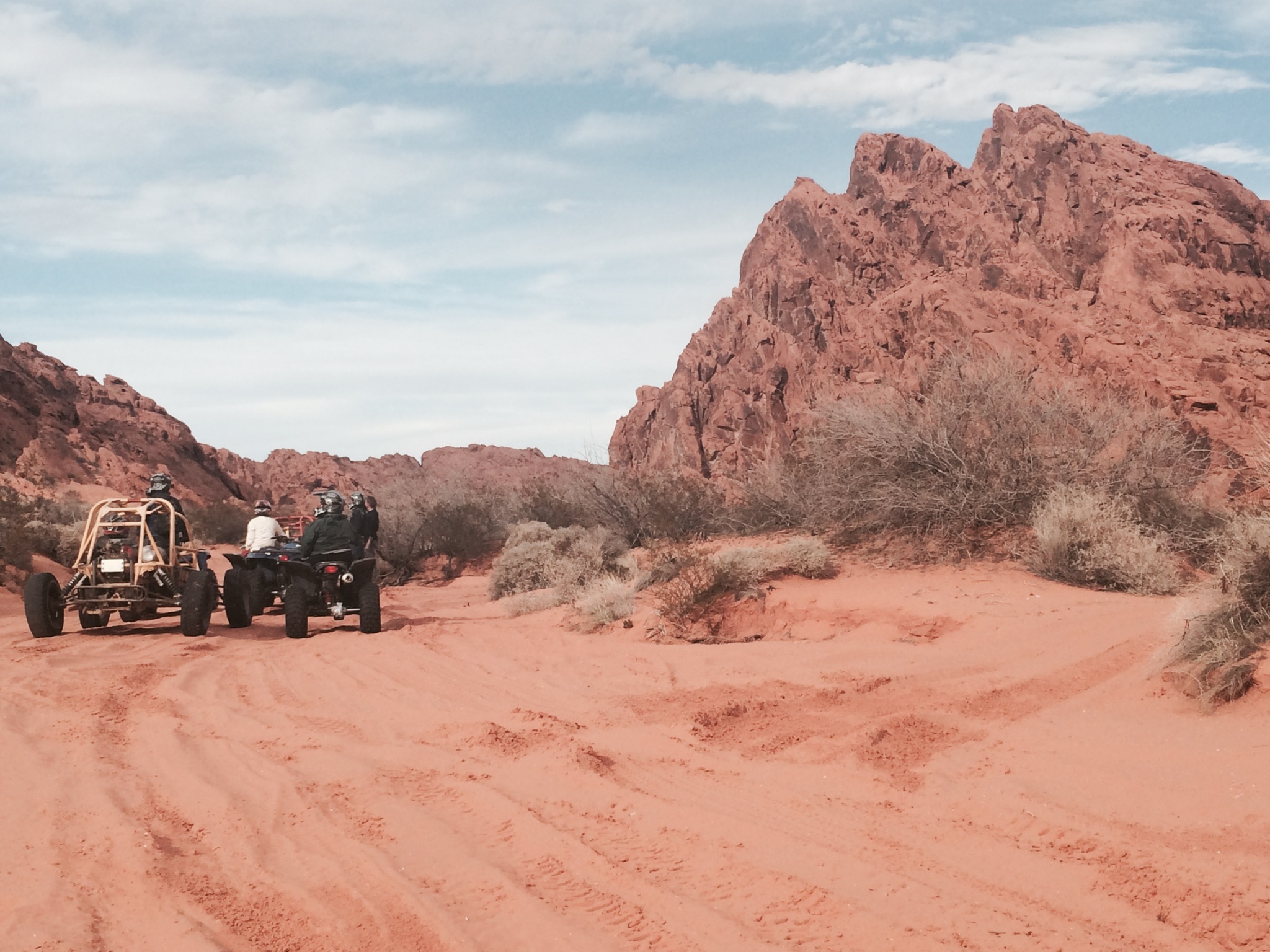
VOF Trailblazers

Fernando v.o.f
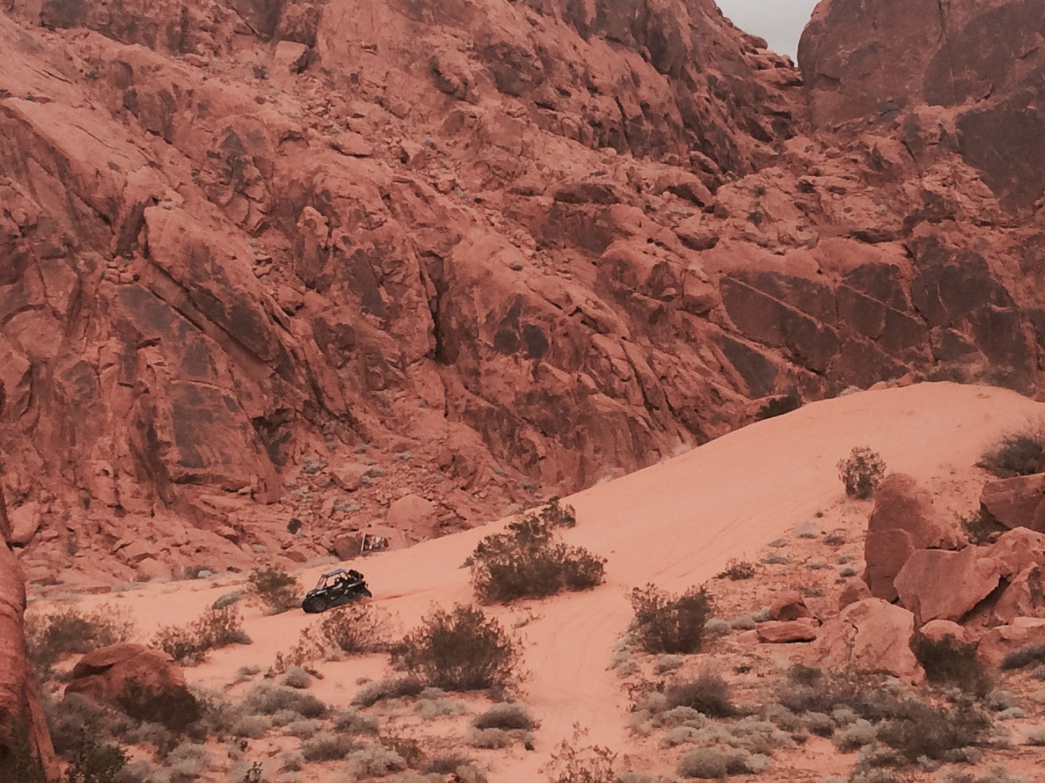
VOF in the dunes with FrankDtank
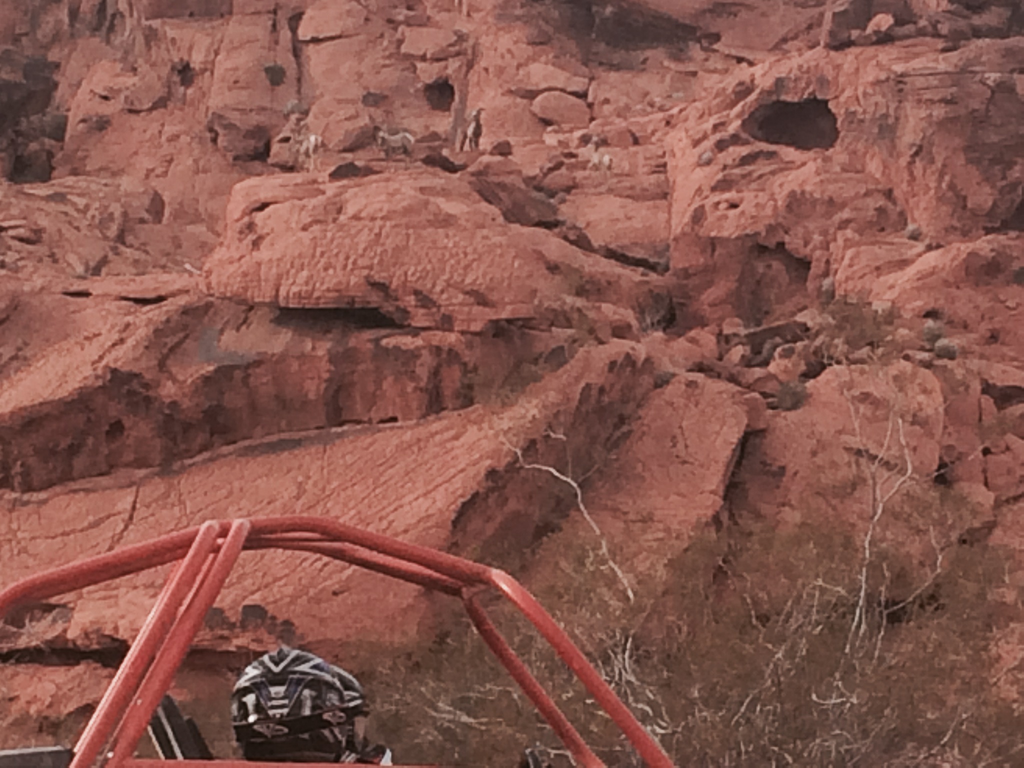
V.O.F Jan 25th 2015 Bighorns

V.O.F

V.O.F
7a V.0.F

VoF Fernando's group
feeling small
Topographic Map of Moapa, NV, USA
Find elevation by address:

Places in Moapa, NV, USA:
Places near Moapa, NV, USA:
501 Wally Kay Way
1410 Bowman
Logandale
958 Wittwer Ave
Moapa Valley
1790 Zubia
1790 Zubia
1790 Zubia
NV-, Moapa, NV, USA
Riverside
789 Bobcat Run
1067 Buckboard Trail
511 Kylee Ave
Conestoga Golf Club
1104 Prairie Schooner Ct
294 Habib Way
Wedgies Sports Bar & Grill
518 Turtleback
12 State Rte, Mesquite, NV, USA
Mesquite
Recent Searches:
- Elevation of Corso Fratelli Cairoli, 35, Macerata MC, Italy
- Elevation of Tallevast Rd, Sarasota, FL, USA
- Elevation of 4th St E, Sonoma, CA, USA
- Elevation of Black Hollow Rd, Pennsdale, PA, USA
- Elevation of Oakland Ave, Williamsport, PA, USA
- Elevation of Pedrógão Grande, Portugal
- Elevation of Klee Dr, Martinsburg, WV, USA
- Elevation of Via Roma, Pieranica CR, Italy
- Elevation of Tavkvetili Mountain, Georgia
- Elevation of Hartfords Bluff Cir, Mt Pleasant, SC, USA