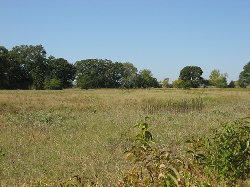
Elevation of Highway, Emory, TX, USA
Location: United States > Texas > Rains County > Emory >
Longitude: -95.670917
Latitude: 32.875542
Elevation: 137m / 449feet
Barometric Pressure: 100KPa
Related Photos:
Topographic Map of Highway, Emory, TX, USA
Find elevation by address:

Places near Highway, Emory, TX, USA:
349 Co Rd 3351
536 Co Rd 3210
Co Rd, Emory, TX, USA
Rains County Courthouse
Emory
Rains County
970 Clark Dr
FM, Yantis, TX, USA
4049 Fm275
County Road 1185
FM, Point, TX, USA
FM, Brashear, TX, USA
Point
FM 47, Point, TX, USA
Freebridge Rd, East Tawakoni, TX, USA
East Tawakoni
Katy St, Lone Oak, TX, USA
Lone Oak
6192 Us-69
Recent Searches:
- Elevation of Corso Fratelli Cairoli, 35, Macerata MC, Italy
- Elevation of Tallevast Rd, Sarasota, FL, USA
- Elevation of 4th St E, Sonoma, CA, USA
- Elevation of Black Hollow Rd, Pennsdale, PA, USA
- Elevation of Oakland Ave, Williamsport, PA, USA
- Elevation of Pedrógão Grande, Portugal
- Elevation of Klee Dr, Martinsburg, WV, USA
- Elevation of Via Roma, Pieranica CR, Italy
- Elevation of Tavkvetili Mountain, Georgia
- Elevation of Hartfords Bluff Cir, Mt Pleasant, SC, USA


