Elevation of Highway 49, AB-49, Saddle Hills County, AB T0H, Canada
Location: Canada > Alberta > Division No. 19 > Saddle Hills County > Whitburn >
Longitude: -119.31046
Latitude: 55.839851
Elevation: 729m / 2392feet
Barometric Pressure: 93KPa
Elevation Map:
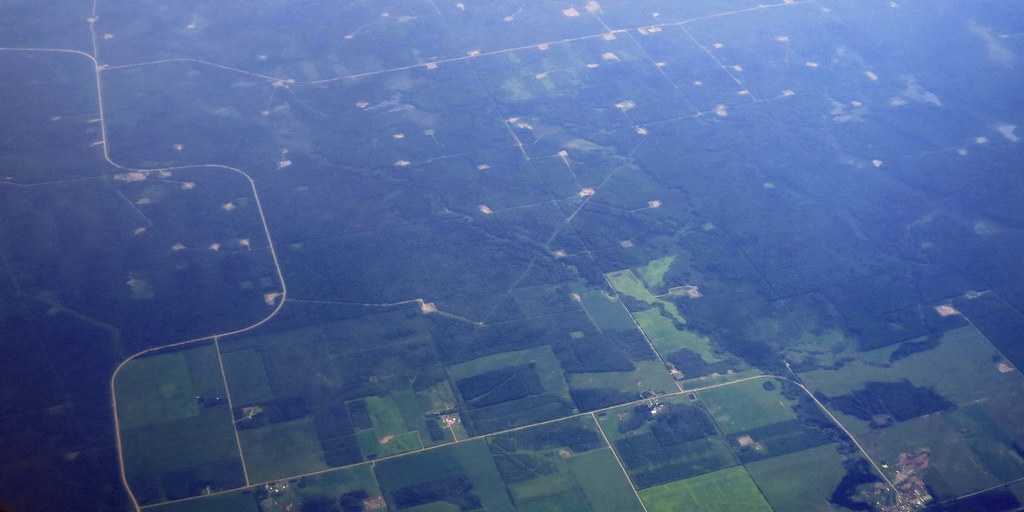
Satellite Map:
Related Photos:
Wells south of Highway 49 IMG_1885

20100214-IMG_6470

45-365
Topographic Map of Highway 49, AB-49, Saddle Hills County, AB T0H, Canada
Find elevation by address:

Places near Highway 49, AB-49, Saddle Hills County, AB T0H, Canada:
Highway 49
Highway 49
Saddle Hills County
Whitburn
Grande Prairie County No. 1
Woking
Beaverlodge
Division No. 19
20 Range Rd 65, Clairmont, AB T0H 0W0, Canada
Clairmont
Elite Vac And Steam
96 St, Clairmont, AB T0H 0W0, Canada
8109 121 St
10241 128 Ave
St, Grande Prairie, AB T8V 4J8, Canada
14900 107 St
10011 115 Ave
Grande Prairie
9050 80 Ave
Central Business District
Recent Searches:
- Elevation of Corso Fratelli Cairoli, 35, Macerata MC, Italy
- Elevation of Tallevast Rd, Sarasota, FL, USA
- Elevation of 4th St E, Sonoma, CA, USA
- Elevation of Black Hollow Rd, Pennsdale, PA, USA
- Elevation of Oakland Ave, Williamsport, PA, USA
- Elevation of Pedrógão Grande, Portugal
- Elevation of Klee Dr, Martinsburg, WV, USA
- Elevation of Via Roma, Pieranica CR, Italy
- Elevation of Tavkvetili Mountain, Georgia
- Elevation of Hartfords Bluff Cir, Mt Pleasant, SC, USA