Elevation map of Division No. 19, AB, Canada
Location: Canada > Alberta >
Longitude: -118.66480
Latitude: 55.5133472
Elevation: 767m / 2516feet
Barometric Pressure: 92KPa
Elevation Map:
Satellite Map:
Related Photos:
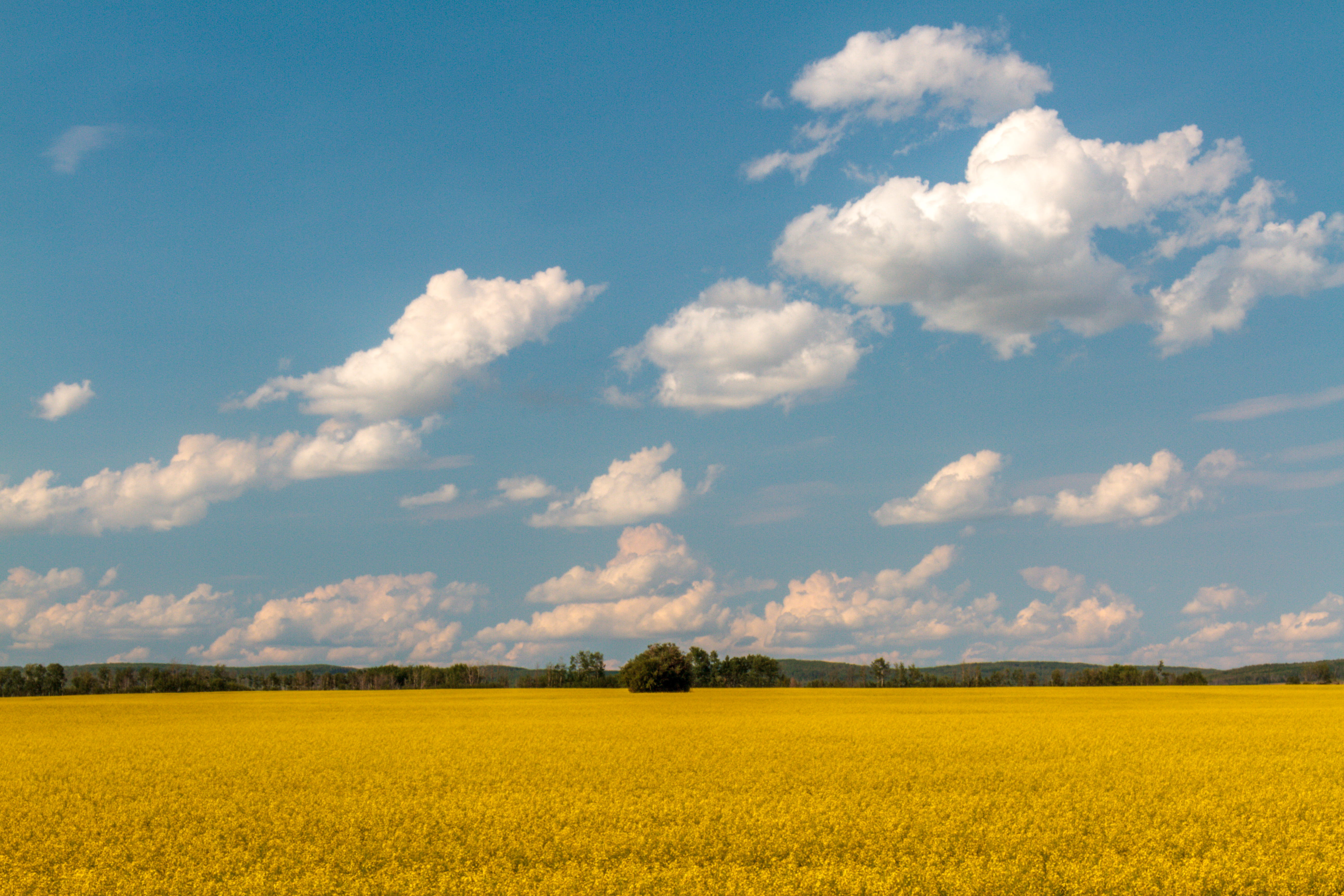
Harvest of gold
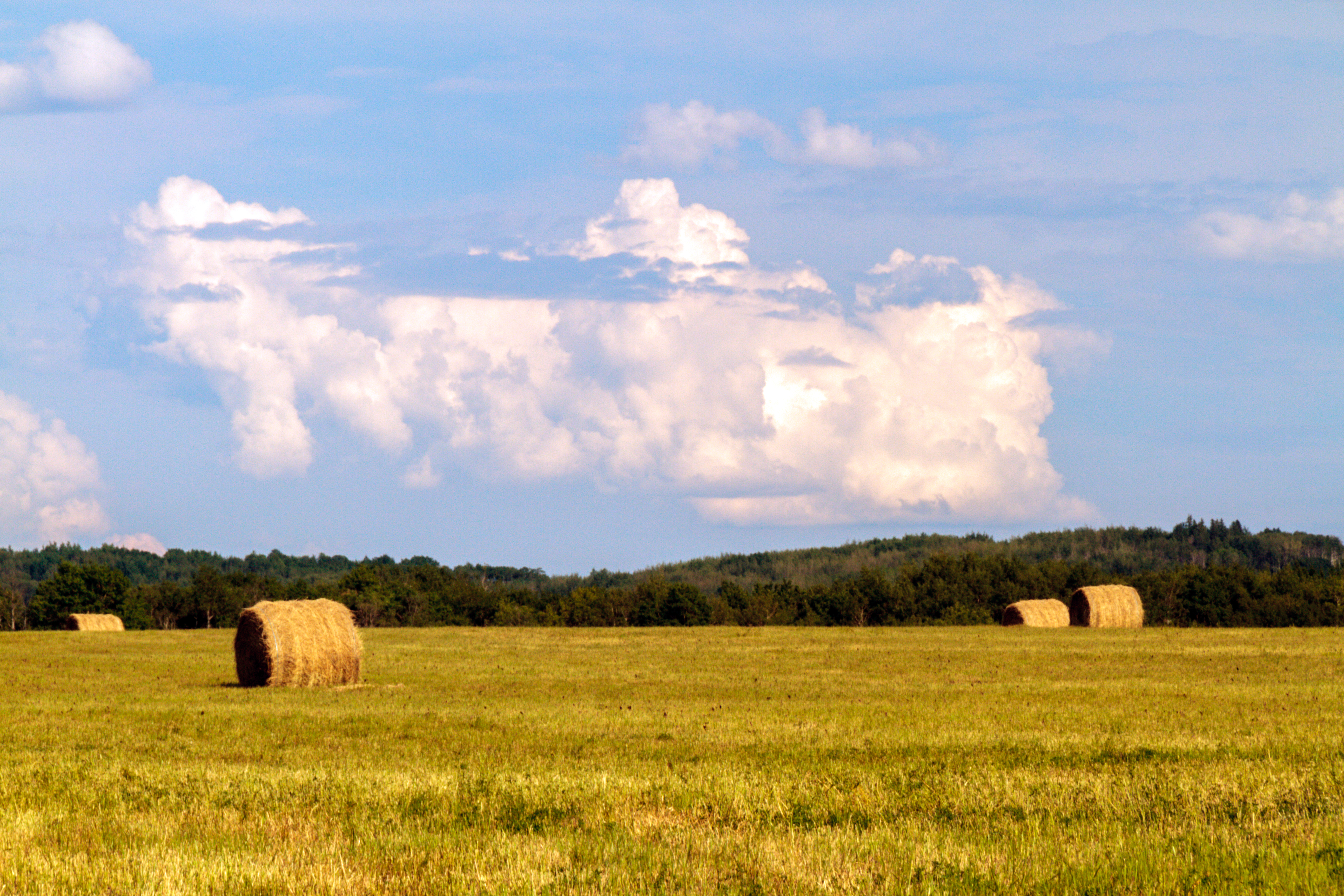
Hay harvest, Saddle Hills
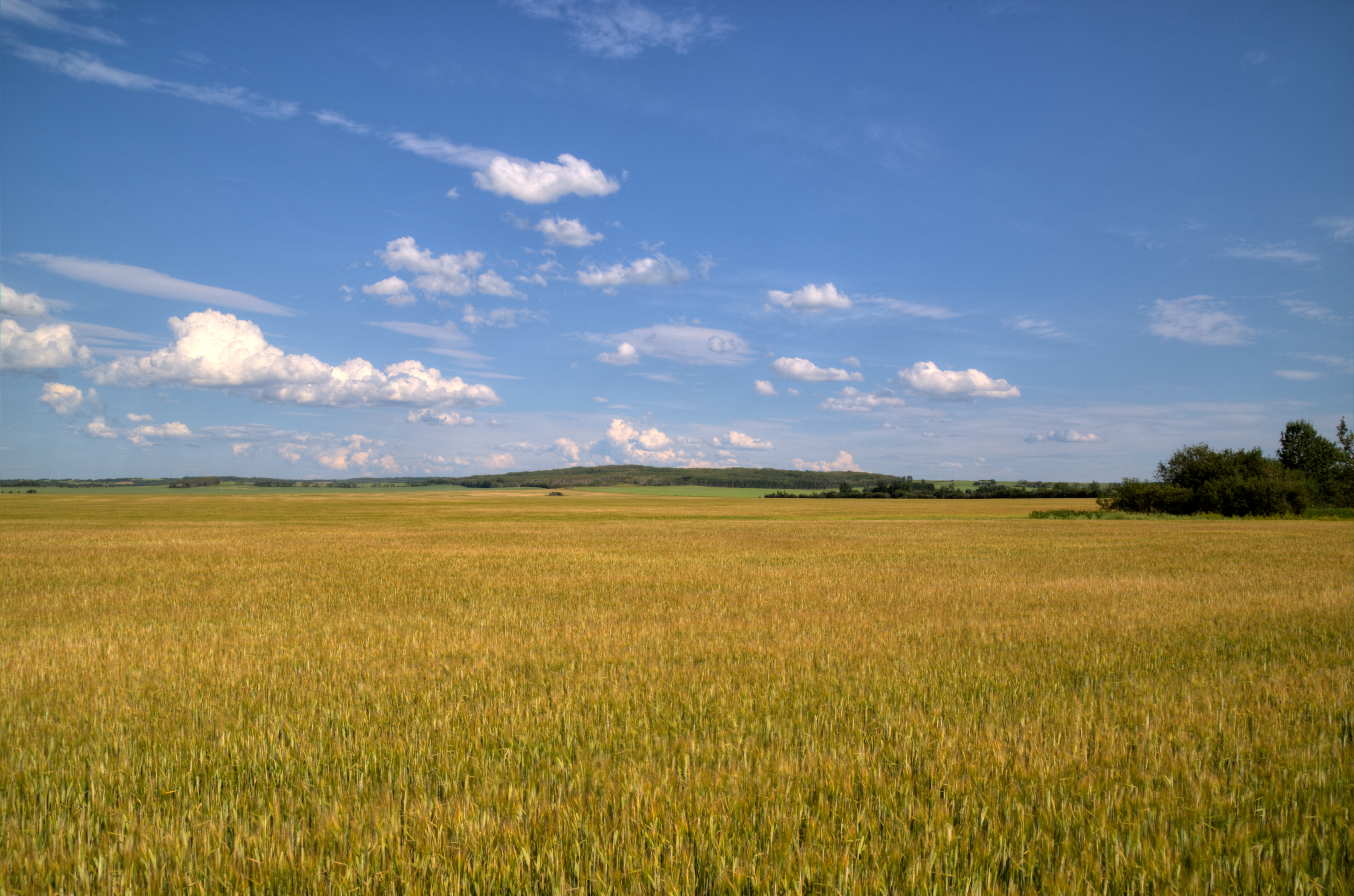
Northern Alberta Wheat Field [Explored]

Kittens and a Bee
Topographic Map of Division No. 19, AB, Canada
Find elevation by address:

Places in Division No. 19, AB, Canada:
Grande Prairie
Mclennan
Girouxville
Peace No. 135
Grande Prairie County No. 1
Peace River
Beaverlodge
Grimshaw
Saddle Hills County
Berwyn
Places near Division No. 19, AB, Canada:
Woking
Alberta 43
Elite Vac And Steam
Clairmont
96 St, Clairmont, AB T0H 0W0, Canada
10241 128 Ave
St, Grande Prairie, AB T8V 4J8, Canada
10011 115 Ave
Hillside
10409 98 St
Morgan Meadows
95 Ave, Grande Prairie, AB T8V 6A3, Canada
97 Street
Central Business District
Grande Prairie
14900 107 St
9050 80 Ave
Patterson Place
8202 Willow Wood Ct
88 A St, Grande Prairie, AB T8W 2V3, Canada
Recent Searches:
- Elevation of Corso Fratelli Cairoli, 35, Macerata MC, Italy
- Elevation of Tallevast Rd, Sarasota, FL, USA
- Elevation of 4th St E, Sonoma, CA, USA
- Elevation of Black Hollow Rd, Pennsdale, PA, USA
- Elevation of Oakland Ave, Williamsport, PA, USA
- Elevation of Pedrógão Grande, Portugal
- Elevation of Klee Dr, Martinsburg, WV, USA
- Elevation of Via Roma, Pieranica CR, Italy
- Elevation of Tavkvetili Mountain, Georgia
- Elevation of Hartfords Bluff Cir, Mt Pleasant, SC, USA