Elevation of Highway 14 East, LA-14, Erath, LA, USA
Location: United States > Louisiana > Vermilion Parish > > Erath >
Longitude: -92.025768
Latitude: 29.9609264
Elevation: 2m / 7feet
Barometric Pressure: 101KPa
Elevation Map:
Satellite Map:
Related Photos:

IMG_3213 Bird City - Avery Island Egret colony
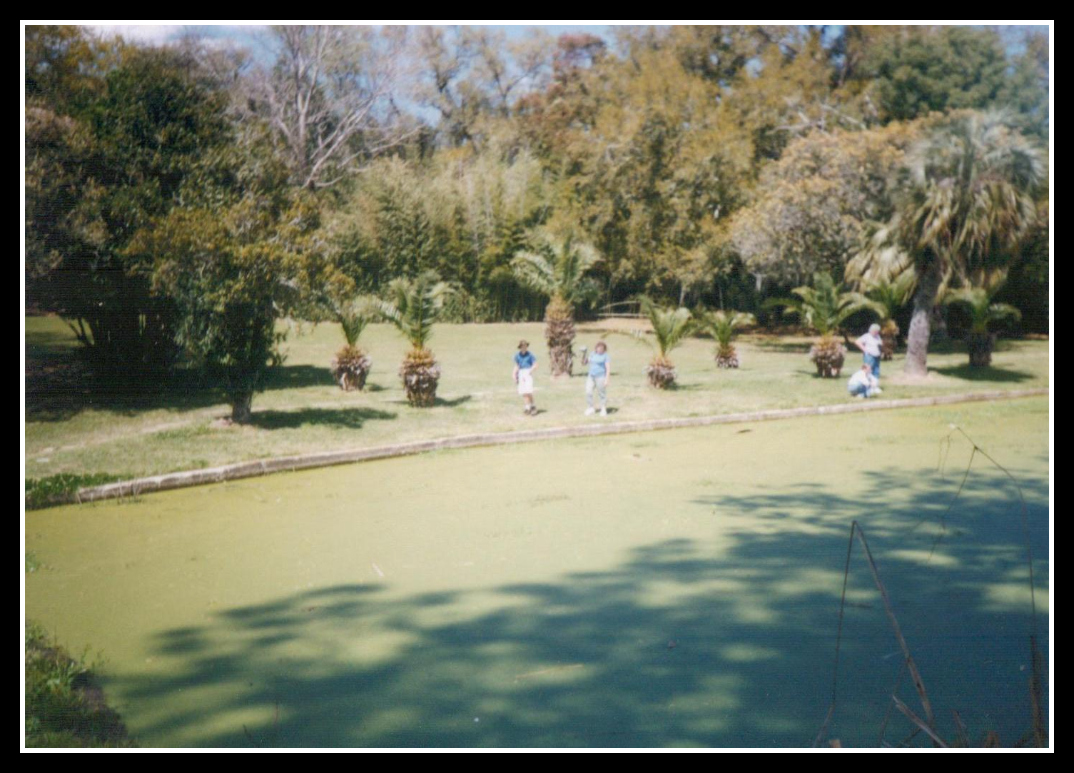
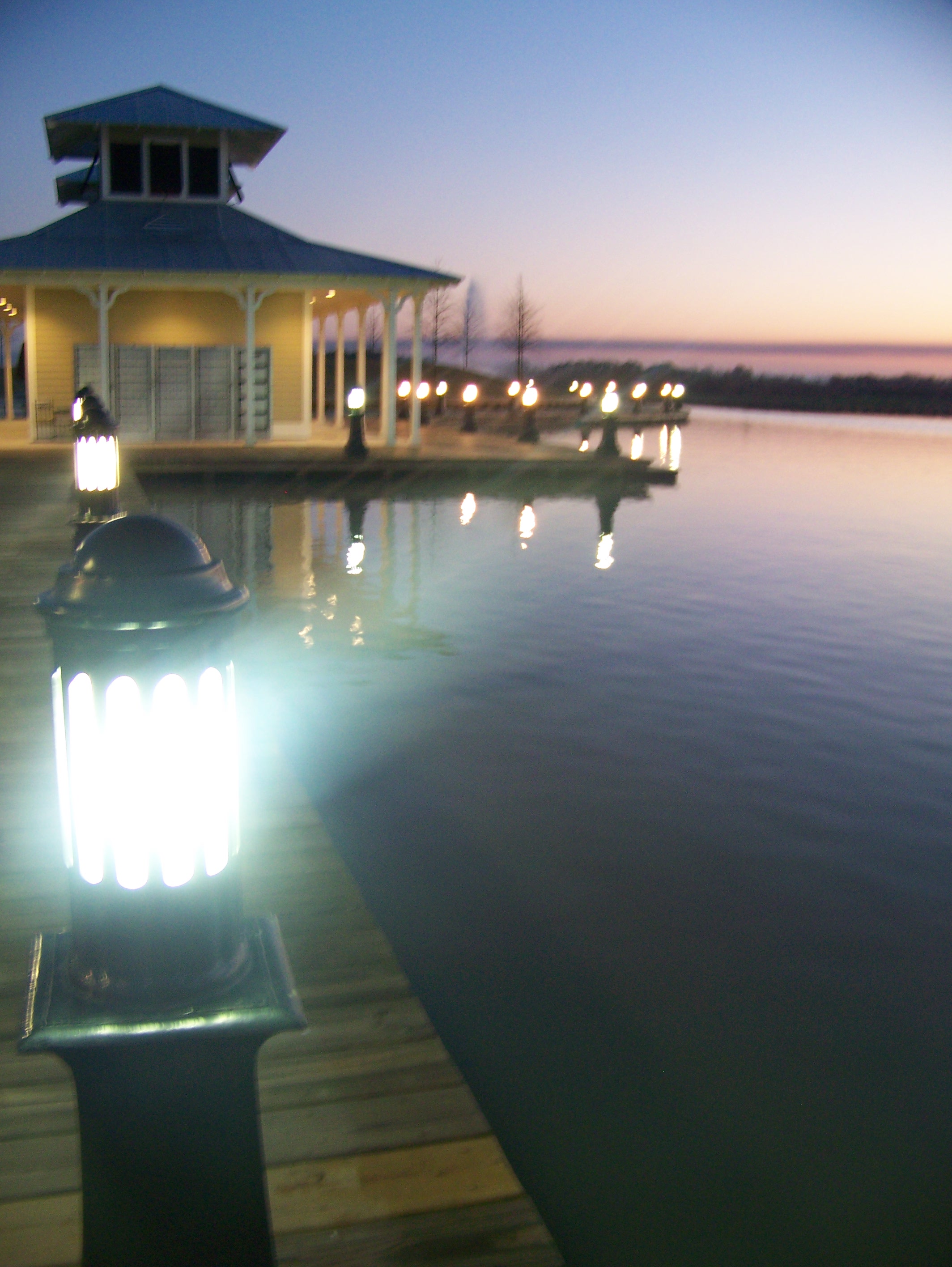
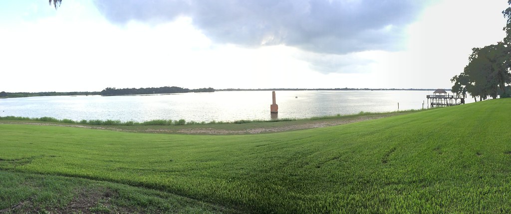
View Across the Pond

water view sooc

Shucks!
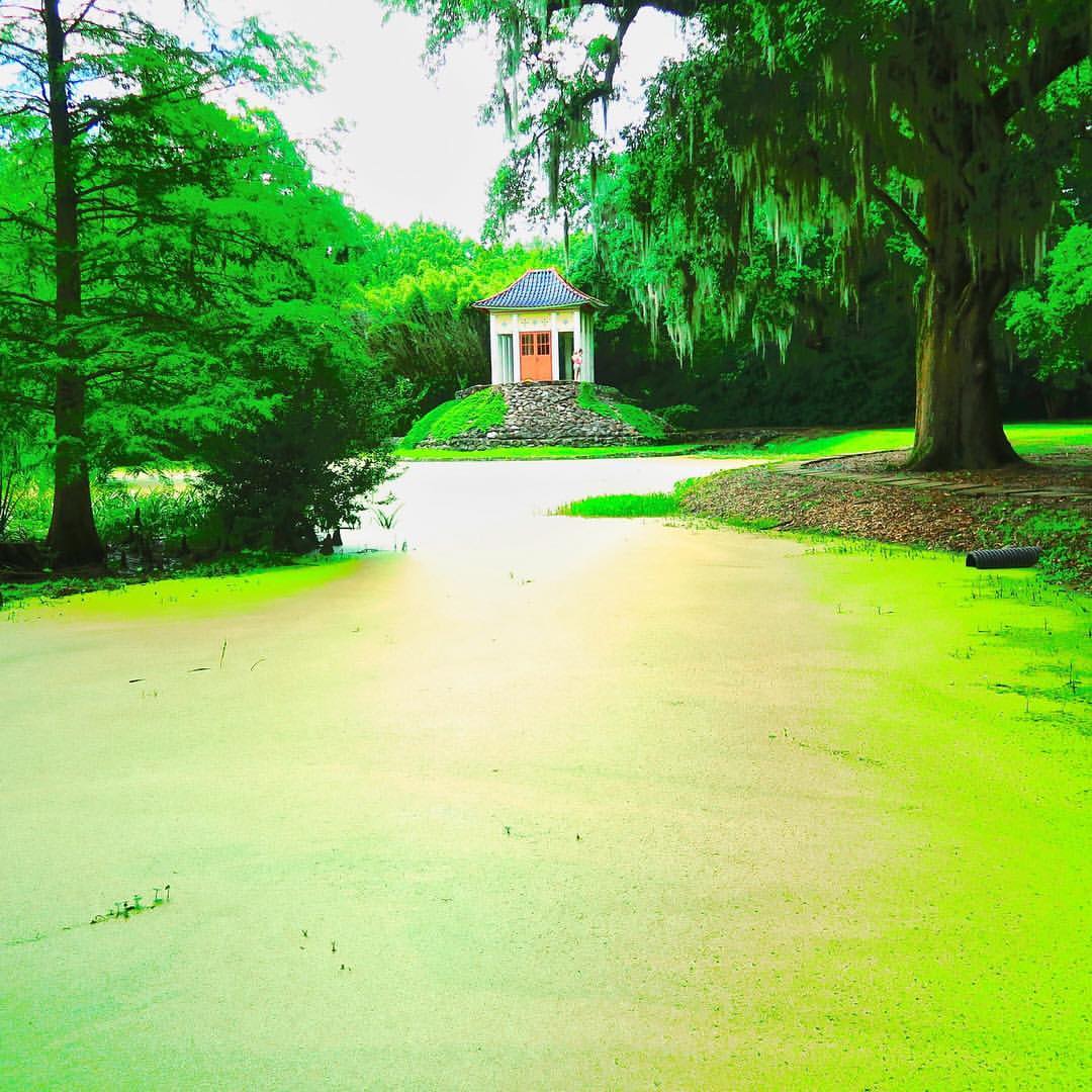
Visit the Pygmy Dragons of the Lotus Temple

Abbeville Park
IMG_3889-3
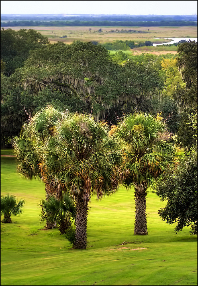
Jungle Gardens
Jungle Gardens, Avery Island
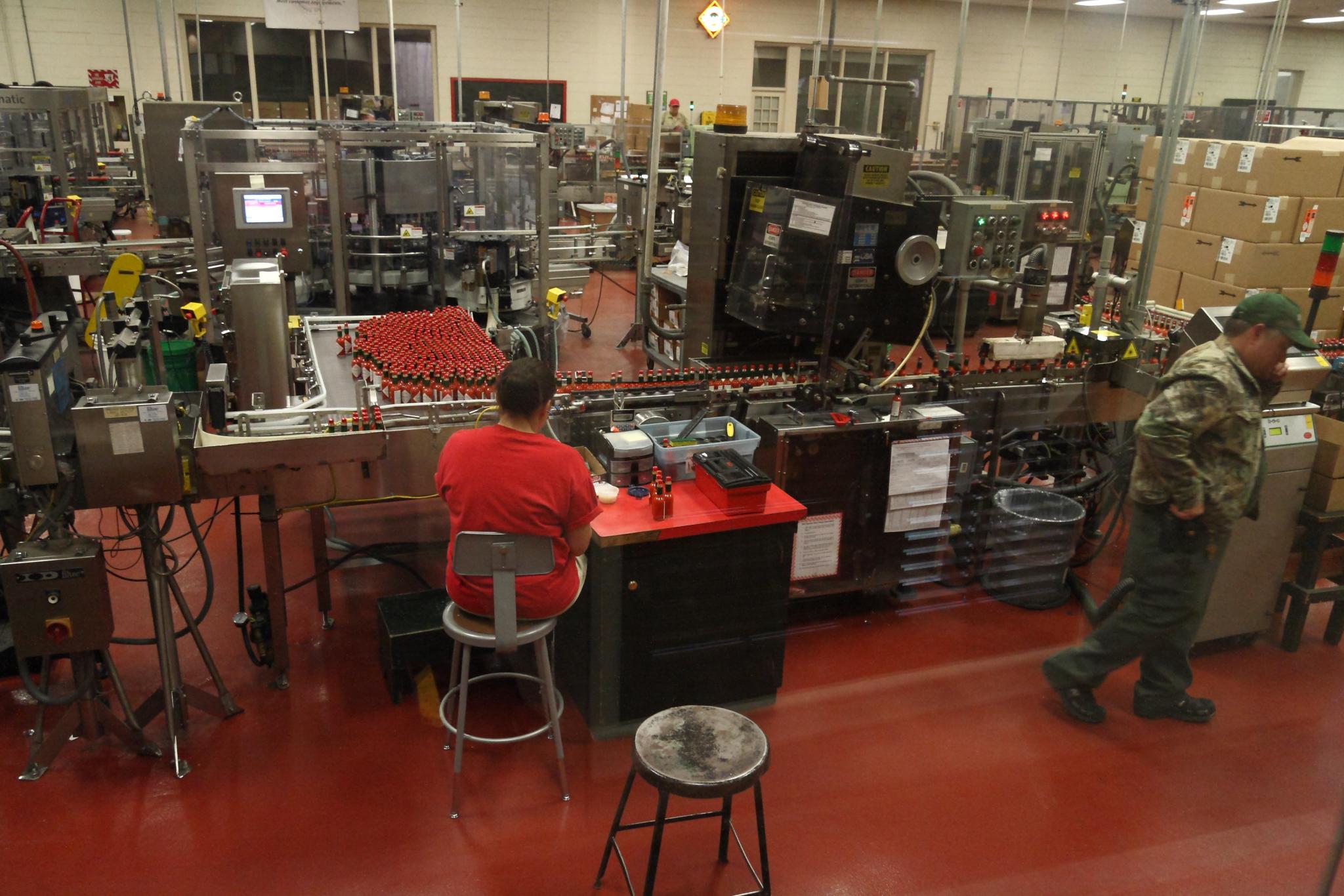
Bottling Line Floor
On Avery Island in the Jungle Gardens, there is a rock bridge that has a buddha temple with a statue inside overlooking the area. ⠀ ⠀ ???? This is the view from that rock bridge where I proposed to @kristafourn 12 years ago! 11 years ago to

Barbed With A View
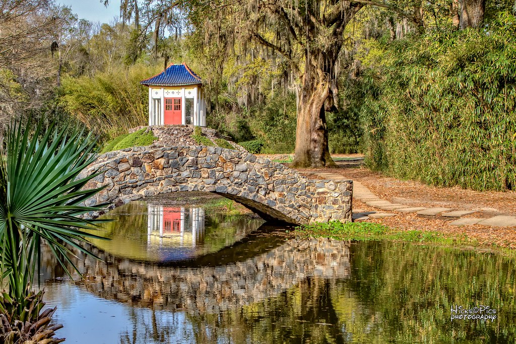
Avery Island Buddha Temple - ::: Explored 20141204 :::

Sugar Mill Pond
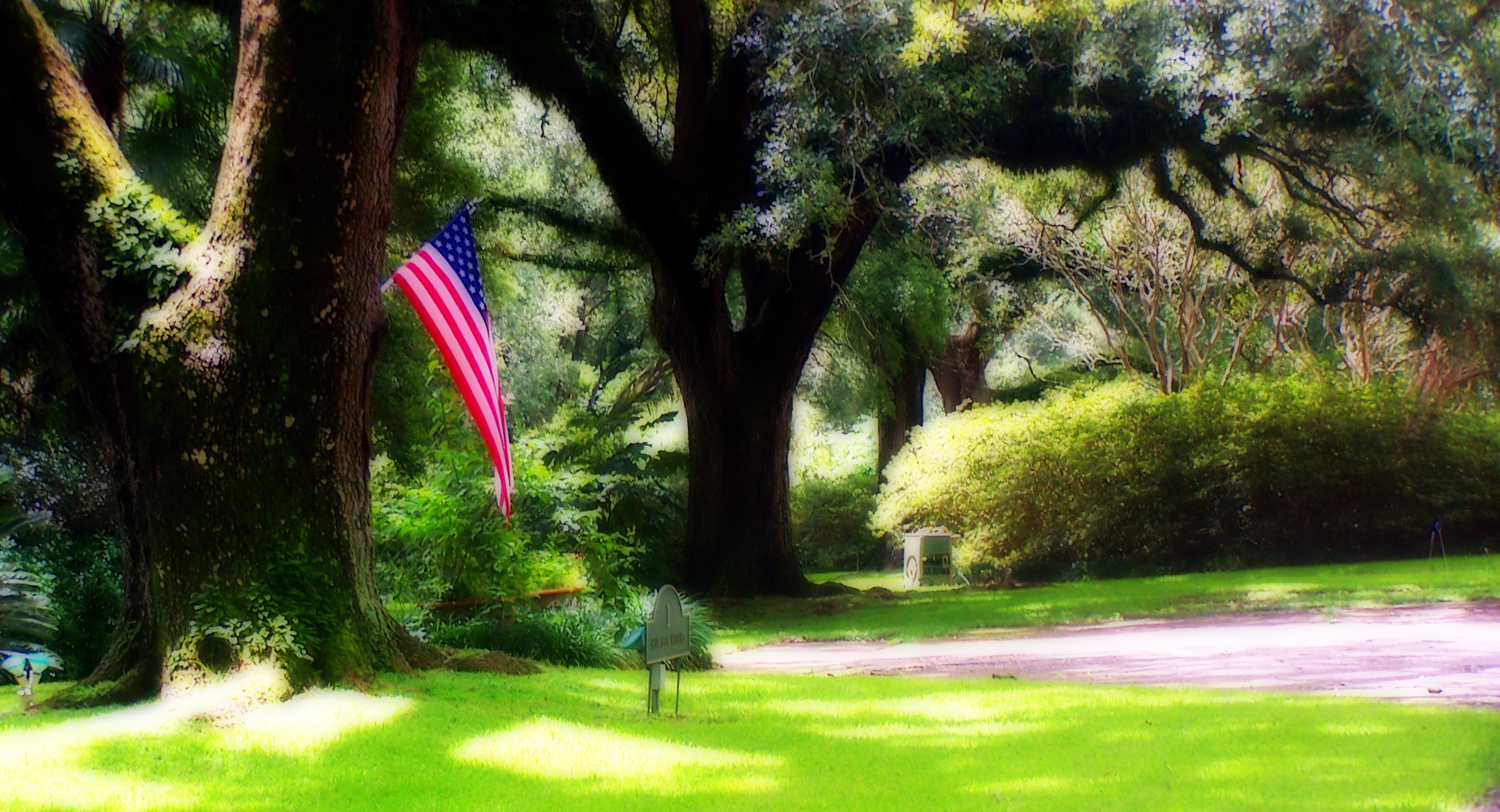
Photography Weekly Challenge (Flags)
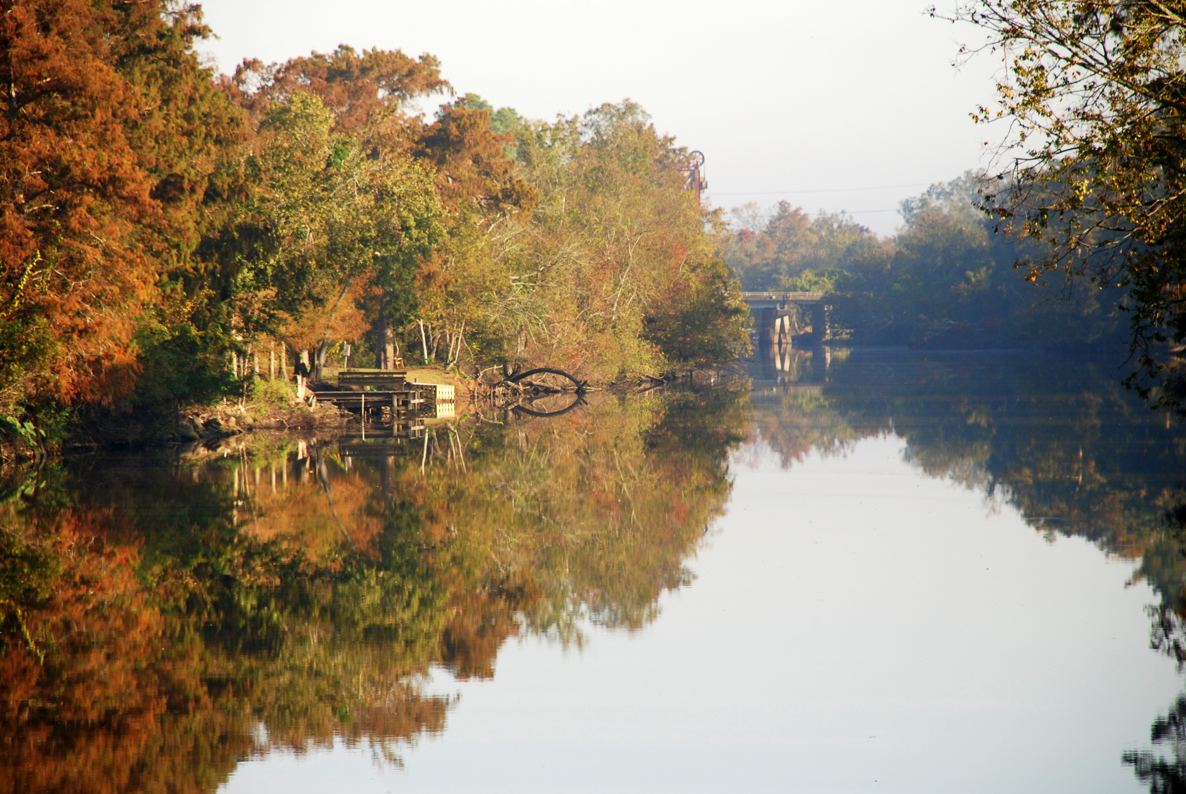
Vermilion River Reflections
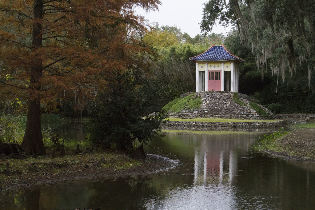
Buddah Shrine
JeffersonIsland-71.jpg

Our girls, @jwkleinschmidt
JeffersonIsland-22.jpg
JeffersonIsland-2.jpg
avery egret
Sugar Mill Pond

into the bamboo

Cajun Sunset
Sugar Mill Pond

Louisiana Swamp

Jefferson Island Louisiana 040112 009
Avery Island Louisiana
Chicago (July 2012)
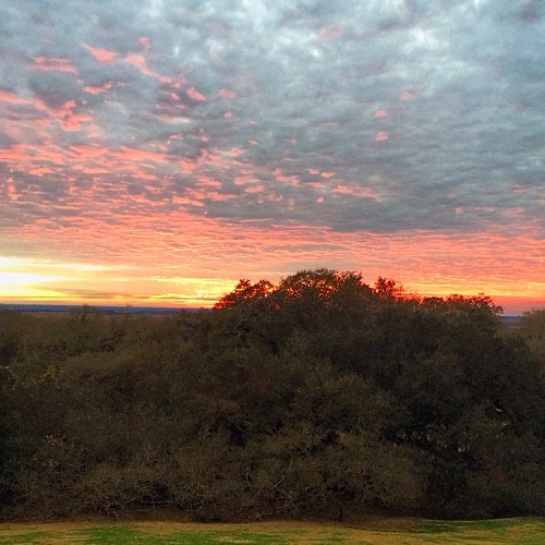
Avery Island sunsets were pretty amazing. #tabascotastemakers #latergram #louisiana #averyisland #sunset #orange #pink #clouds #cloud #traveling #travels
Camera Roll-31
Topographic Map of Highway 14 East, LA-14, Erath, LA, USA
Find elevation by address:

Places near Highway 14 East, LA-14, Erath, LA, USA:
Erath
1009 S Broadway St
610 W Lastie St
610 W Lastie St
13019 Ollie Rd
11638 Gabriel Rd
14715 Jude Rd
13432 La-89
1828 Robert Rd
404 Kin Dr
Delcambre
4328 Eve Rd
1442 Jefferson Island Rd
6, LA, USA
Highway 14 East
3, LA, USA
5511 La-338
Bob Acres Rd, Delcambre, LA, USA
16413 La-331
8, LA, USA
Recent Searches:
- Elevation of Corso Fratelli Cairoli, 35, Macerata MC, Italy
- Elevation of Tallevast Rd, Sarasota, FL, USA
- Elevation of 4th St E, Sonoma, CA, USA
- Elevation of Black Hollow Rd, Pennsdale, PA, USA
- Elevation of Oakland Ave, Williamsport, PA, USA
- Elevation of Pedrógão Grande, Portugal
- Elevation of Klee Dr, Martinsburg, WV, USA
- Elevation of Via Roma, Pieranica CR, Italy
- Elevation of Tavkvetili Mountain, Georgia
- Elevation of Hartfords Bluff Cir, Mt Pleasant, SC, USA